A visit to Montserrat is one of the most popular day trips from Barcelona. Many people come here to view this unique, jagged, sawtooth mountain range and its views over the stunning countryside. Montserrat truly is a beautiful place to visit. One of the best ways to get to the top are on your own two feet. Keep reading to learn more about hiking Montserrat.
How to Get to Montserrat
Montserrat is easily accessible from Barcelona. The distance between Barcelona and Montserrat is 54 km. Most people take the train out to Montserrat, connecting with either the cable car or rack railway to get to the top. For details on how to do this, read our post How to Guide: Day Trip to Montserrat from Barcelona ↓
How to Plan a Montserrat Day Trip from Barcelona
Everything you need to know to plan your Montserrat day trip from Barcelona: things to do, transportation options, and tours.To start the hike, you need to get to Monistrol de Montserrat. From Plaça Espanya in Barcelona, take the R5 train to Monistrol de Montserrat. It takes just over one hour to get to Monistrol.
Below is a map of Barcelona, the train stations near Montserrat, and things to do on Montserrat. To find the trailhead from Monistrol de Montserrat, keep reading.
How to Use This Map: Click the tab in the top left corner of the map to see a list of the points of interest and to turn layers on/off. Click the icons on the map to get more information about each point of interest.
To take this map with you, click the star next to the title of the map which adds it to your Google account. Next, within your Google Maps app, select ‘Saved’ and then select ‘Maps’. This map title will now appear in your list.
How to Hike to Montserrat
Distance: 5 km one-way
Duration: 1.5 hours
Start: Estacio de Monistrol
Finish: Monestir de Montserrat
Finding the Trail
Finding the trailhead can be a little tricky. We found very little information on the internet before attempting this hike, so we were in for all kinds of surprises. After asking for directions from several people in town, we eventually found our way to the start of the hike. Here’s how to get from the Monistrol de Montserrat train station to the trailhead. I also recommend checking the comment section below because other travelers have written in with a lot of tips about this hiking trail.
Exit the train station and walk downhill towards Monistrol de Montserrat. Cross this bridge to the other side. The mountain range of Montserrat is looming in front of you. Eventually, you will be standing way up there!
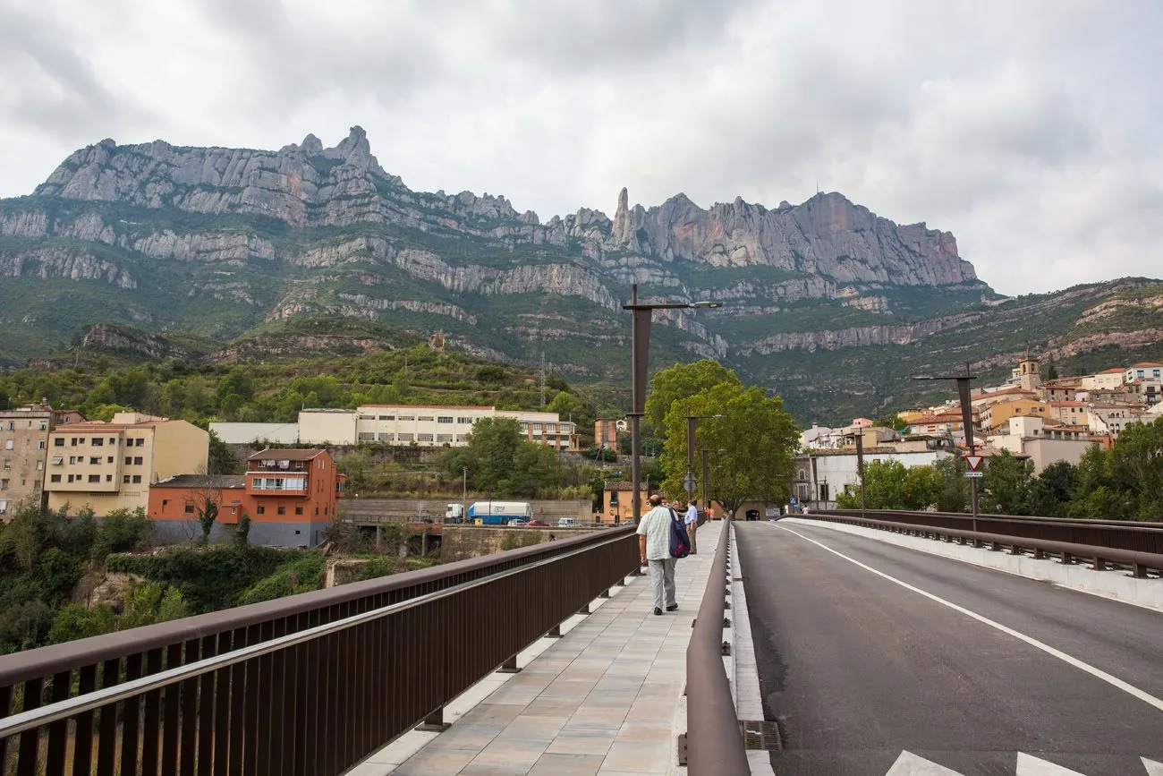
Once on the other side of the bridge, cross the street, passing between the two buildings in this photo.
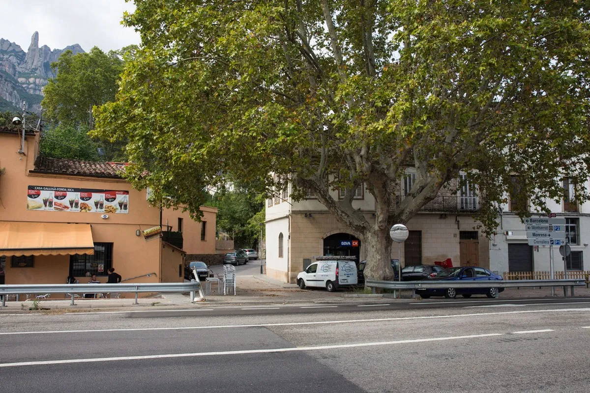
Continue on the wide sidewalk into town.
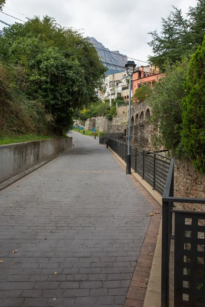
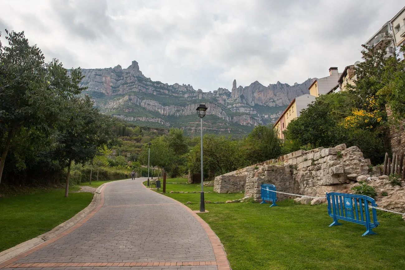
The sidewalk ends at a small plaza in town. Walk through the plaza, keeping the mountains to your left. You will see a staircase off to the left. Take this to the road above you.
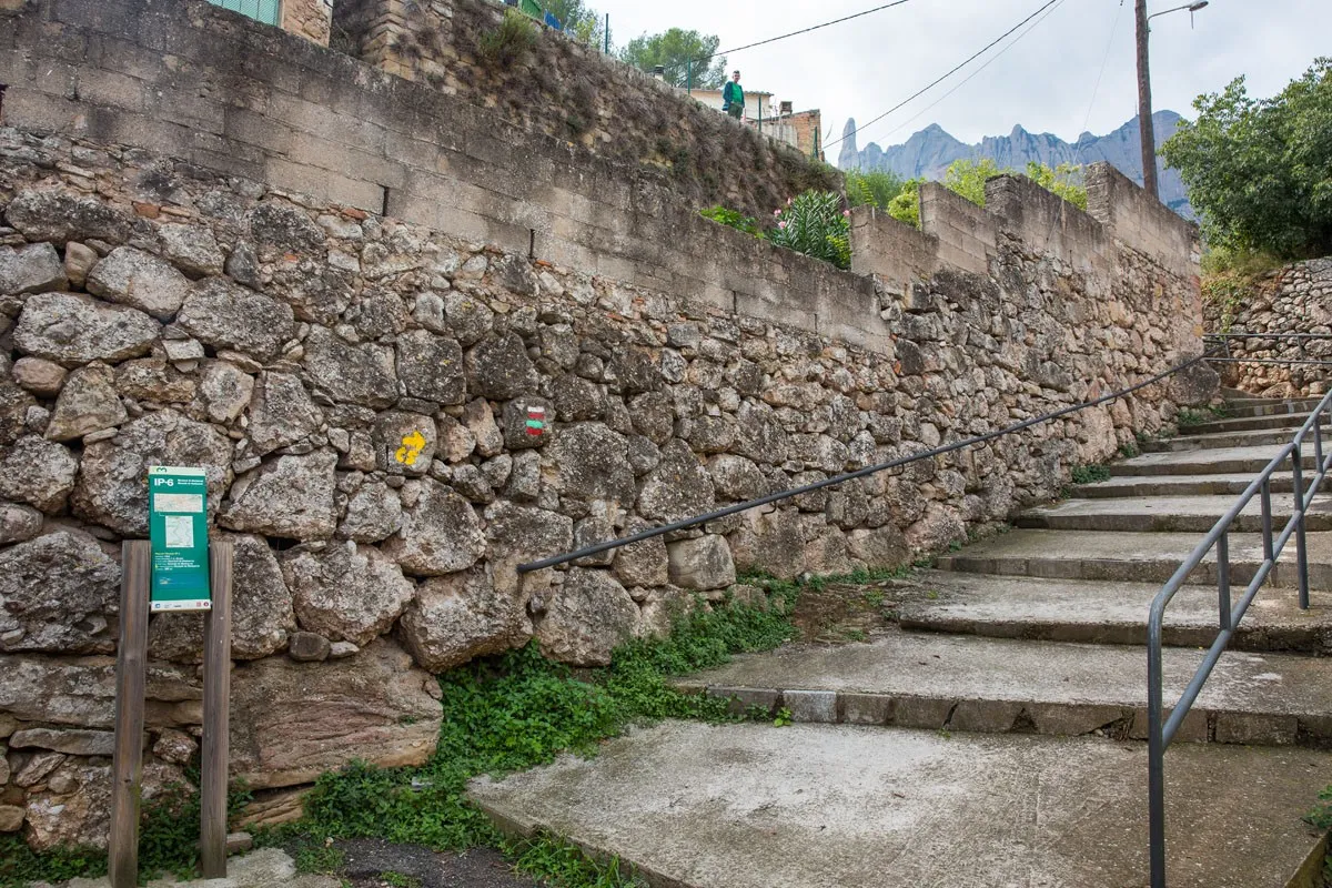
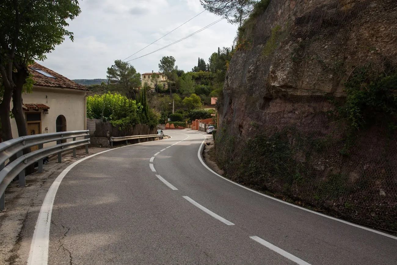
Red, white, and green painted stripes mark the trail all the way up to the monastery. As long as you follow these stripes you are going in the right direction. From the top of the staircase, turn left and walk along the road.
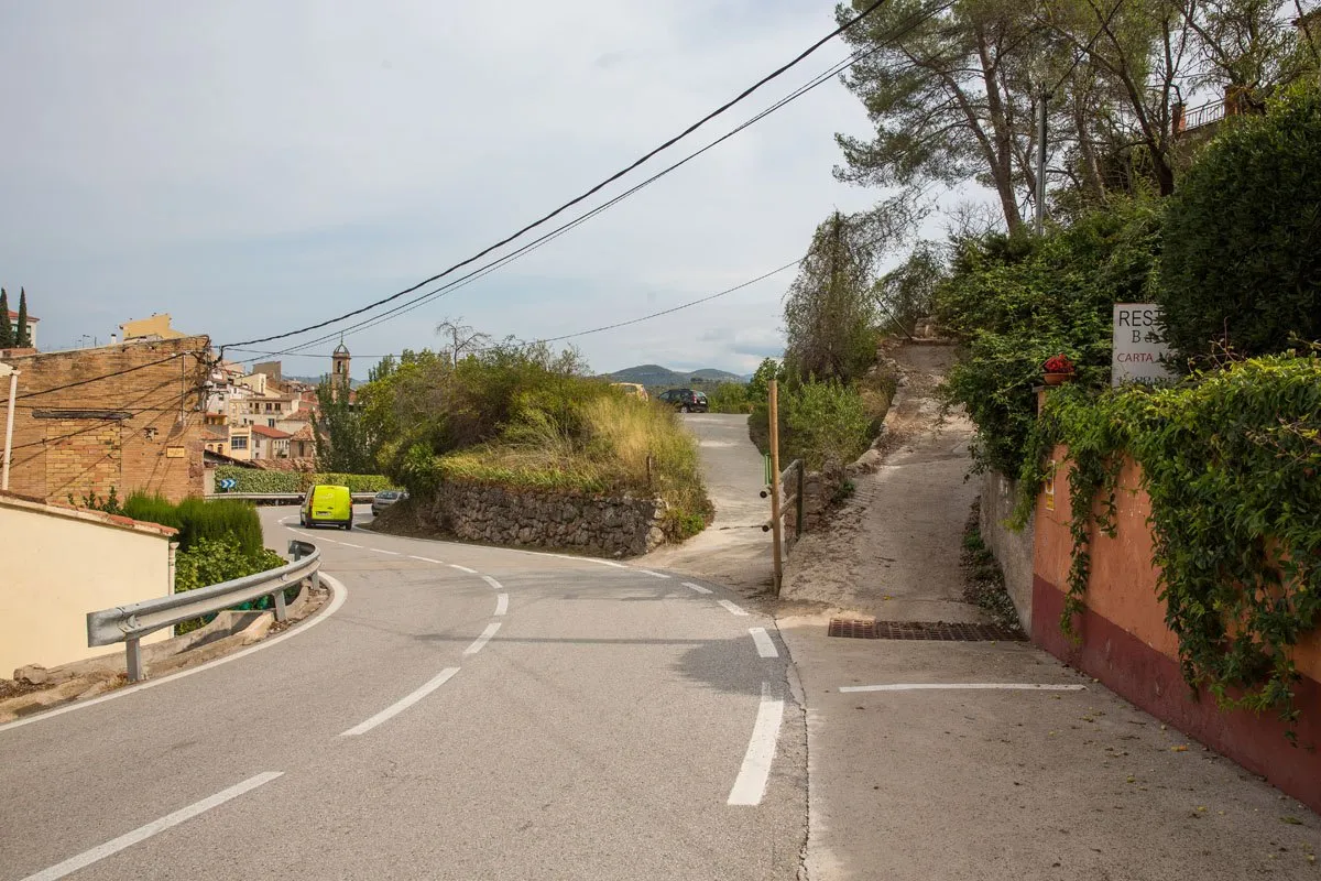
After walking approximately 100 meters on the road you will arrive at the trailhead. In this photo, it is the small, paved trail to the right.
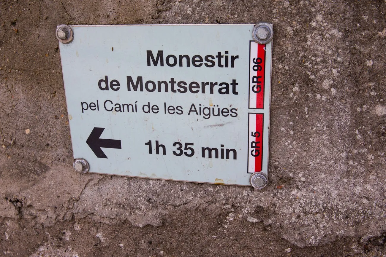
On the concrete wall there is a sign identifying the official trail. From this point it takes about an hour and half to get to the monastery, a little less if you are a fast hiker.
Most of the trail is a rocky, dirt single track trail. Occasionally there will be small sets of stairs when the climb is a little steeper. It may come as no surprise that the trail is a steady, uphill climb all of the way to the top.
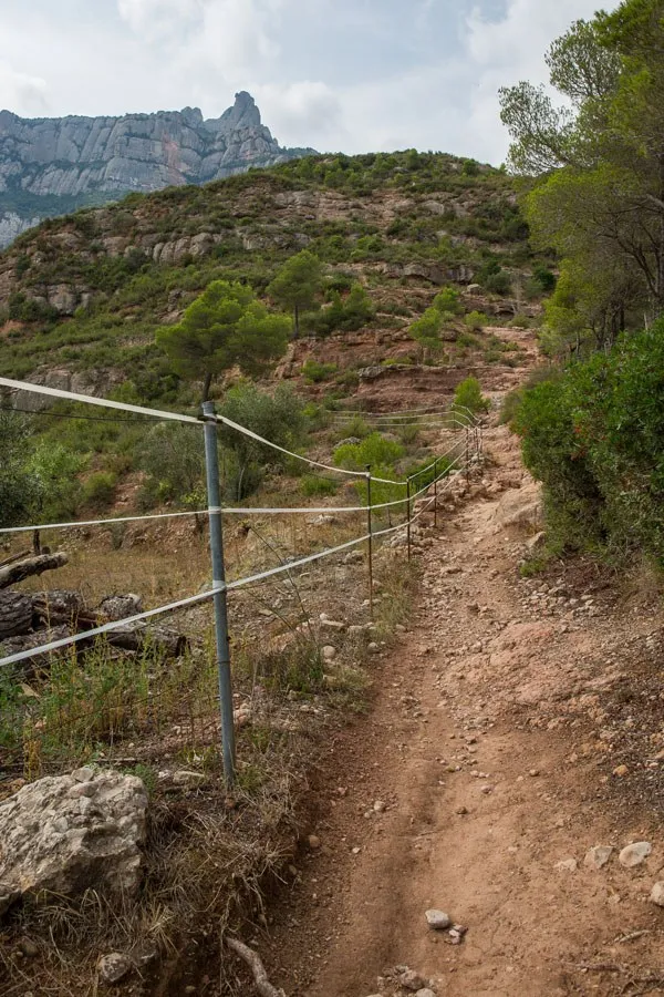
Another sign on the way up the mountain.
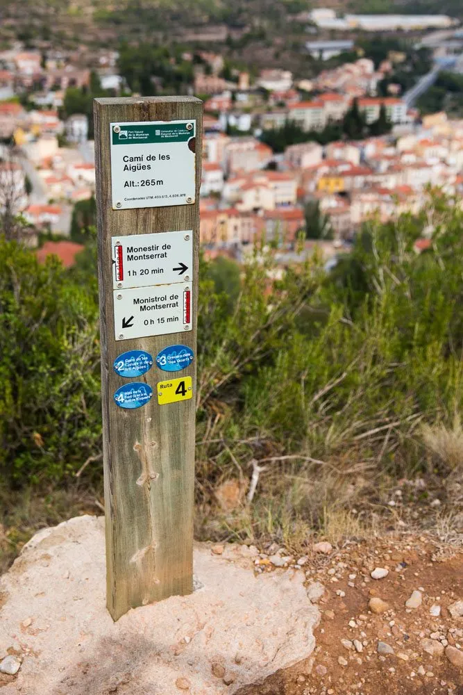
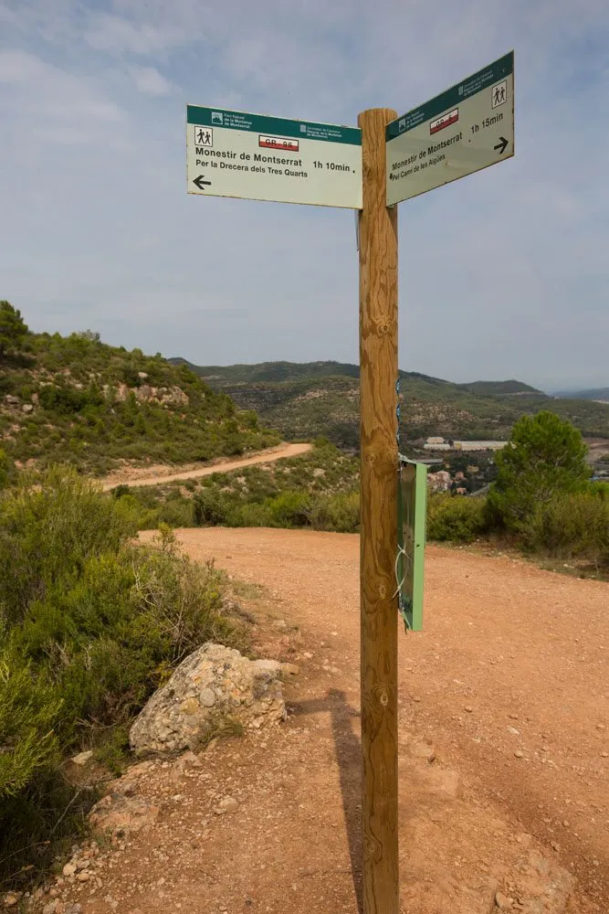
About a third of the way up to the monastery, the trail will split. Here you have two options. The easier option, staying on the Cami de les Aigues (GR 5), veers off to the left. This wide trail slowly meanders up the mountain. It ascends less quickly, making it easier, but it also takes five to ten minutes longer to get to the top. Or, you could take the Drecera dels Tres Quarts (GR 96). This trail is narrower, steeper, and more direct to the monastery.
We chose the GR 96, preferring the quicker option.
Here’s a view of the trail before the real climbing began.
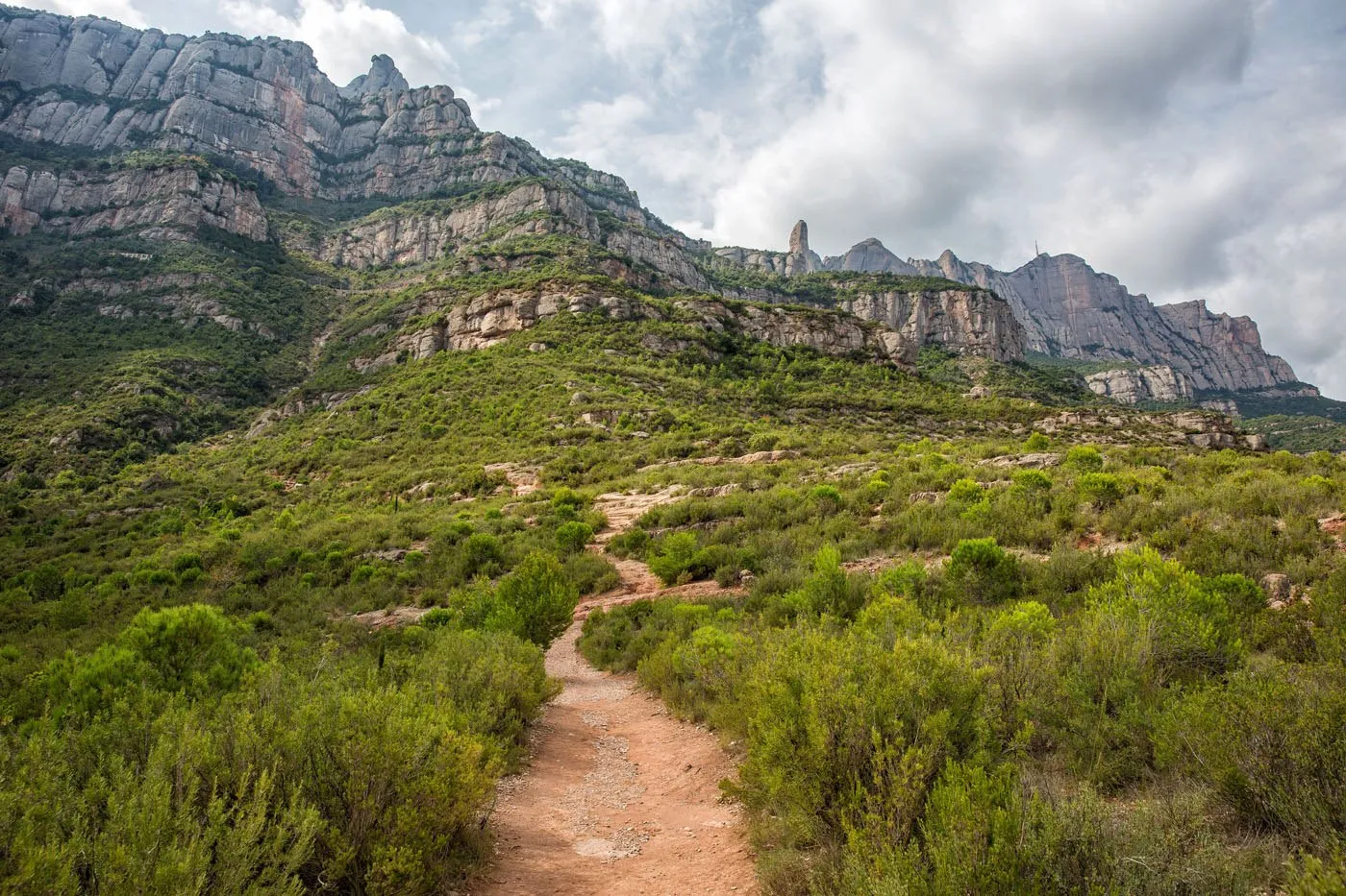
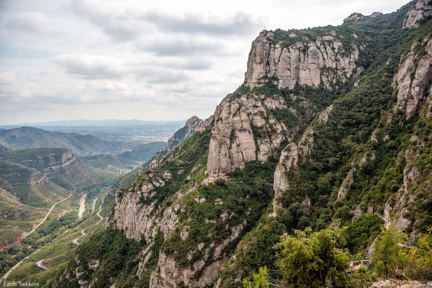
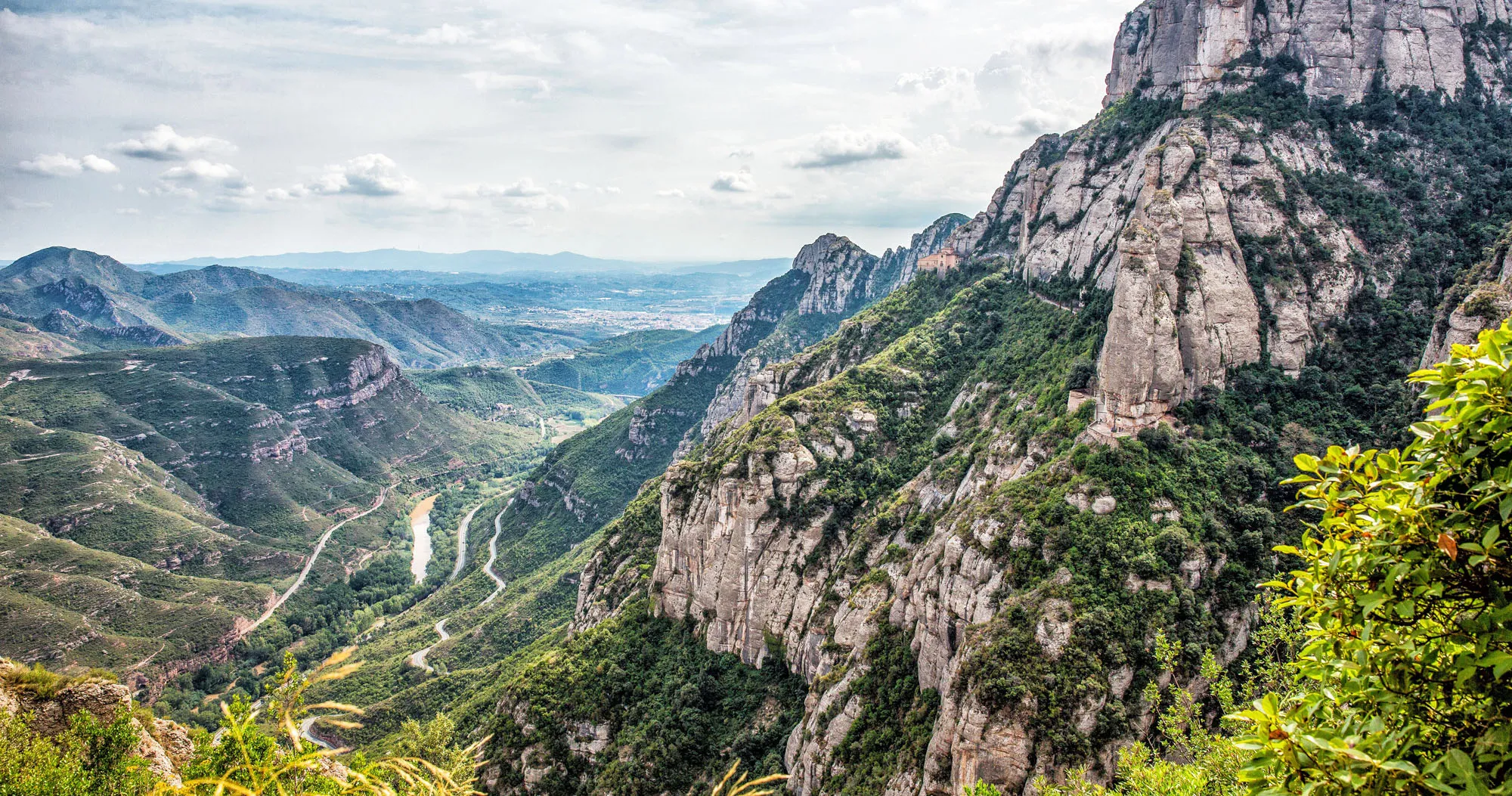
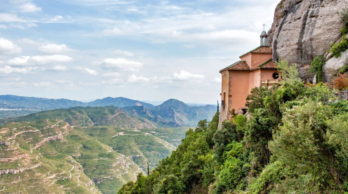
Just before reaching the monastery, both trails link up again. From here, enjoy the view. You can walk out to the Santa Cova Chapel (you can see it in the photo below, way off in the distance), hoof it up higher to the monastery, or choose to take the Santa Cova funicular if you’re all out of energy.
Best Things to Do on Montserrat
For a full list of what there is to do once you’re at the top, check out our post How to Guide: Day Trip to Montserrat from Barcelona.
Getting Back Down
You have three options to get back down the mountain…retrace your steps and hike back down, take the cable car to Aeri de Montserrat (the cable car), or take the Cremallara (the rack railway) to Monistrol de Montserrat. From Aeri de Montserrat and Monistrol, take the R5 train back to Barcelona. Tickets can be purchased in the train station.
Print This Before You Go!
If you are planning on doing this hike, print this out beforehand or cache it on your phone so you can follow the photos to the trailhead.
Please practice the seven principles of Leave No Trace: plan ahead, stay on the trail, pack out what you bring to the hiking trail, leave areas as you found them, minimize campfire impacts, be considerate of other hikers, and do not approach or feed wildlife.
If you have any questions about hiking Montserrat, let us know in the comment section below.
More Information for Your Trip to Spain
We have TONS more information about Spain in our Spain Travel Guide, including Barcelona, Madrid, Seville, Andalusia, and the Rioja Wine Region.
Comments 132