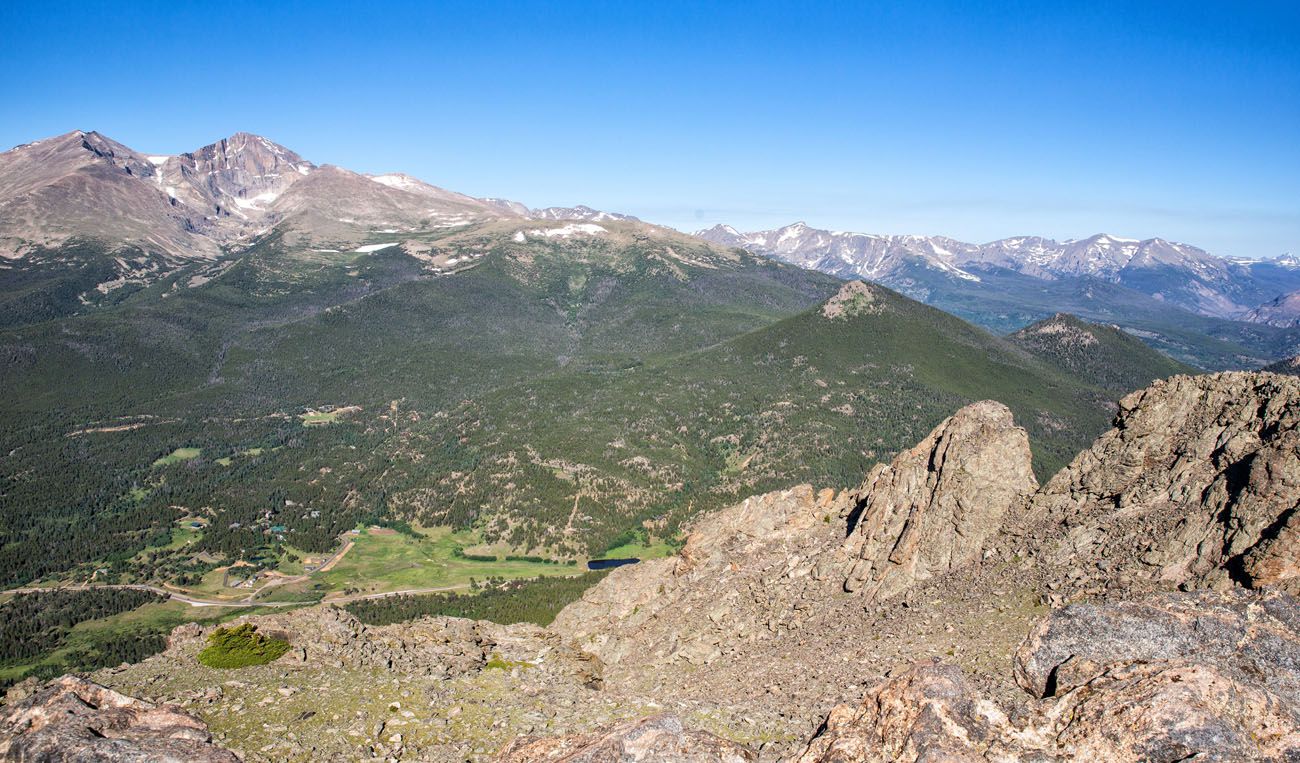
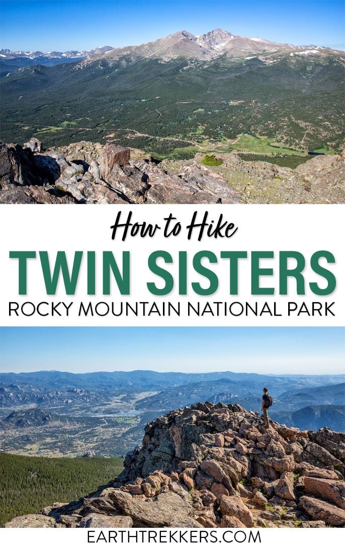
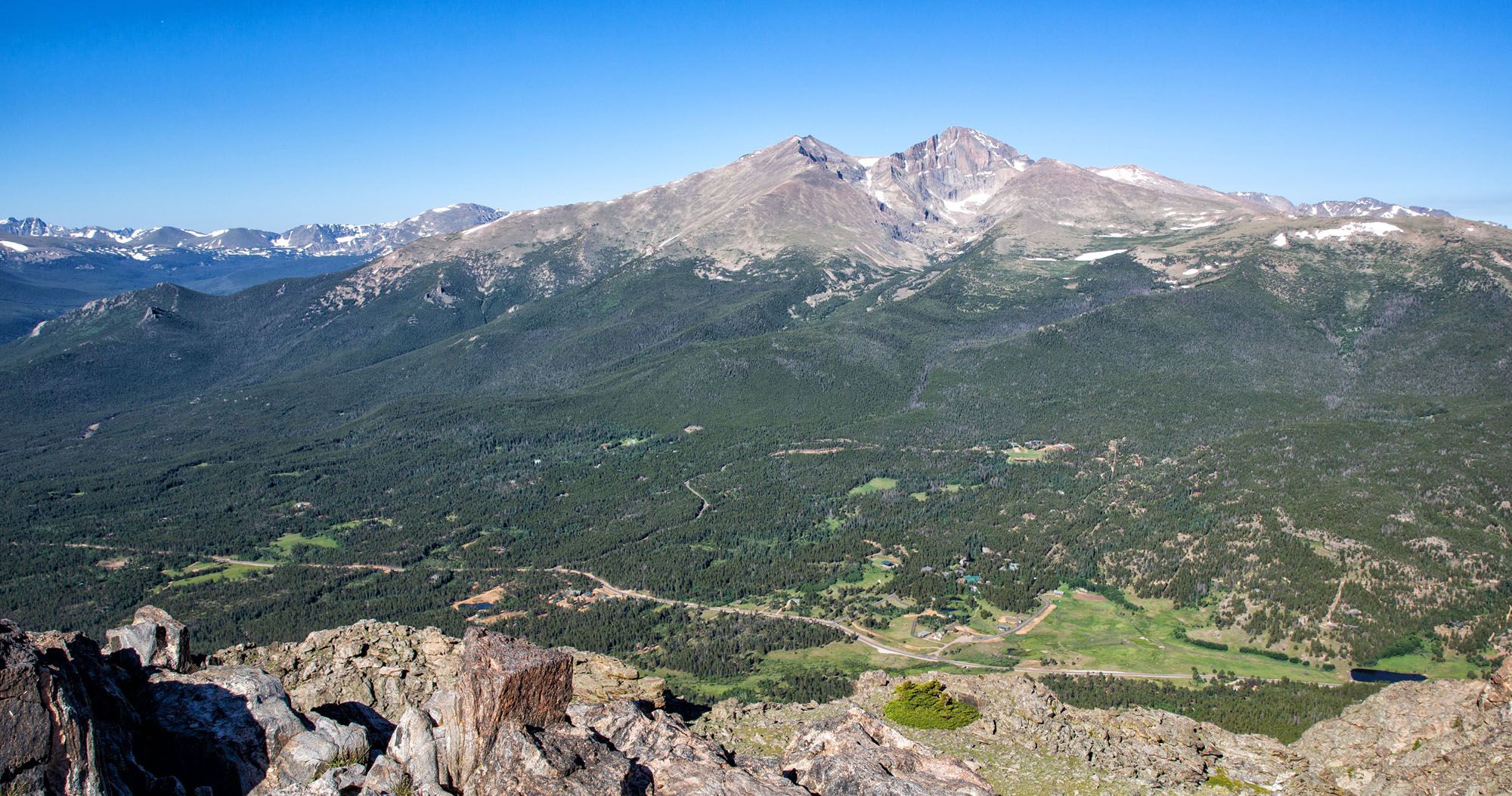
The Twin Sisters Peak trail, which crosses between Rocky Mountain National Park and the Roosevelt National Forest, offers 360° views from the top of the Twin Sisters Peaks. Since this hike is on the far eastern edge of Rocky Mountain National Park, you get a panoramic view of the national park, with Longs Peak and Mount Meeker in the foreground.
While this sounds interesting, the hike itself is not as feature rich as other trails in Rocky Mountain National Park, and therefore I do not think this hike is for everyone. In this article, I will provide details of the hike and my recommendation as to who should consider this hike.
Twin Sisters Hiking Stats
Distance: 7.4 miles roundtrip
Difficulty: Moderate
Total Ascent: 2,400 feet
Starting Elevation: 9,200 feet
Elevation at the Peaks: 11,400 feet
Length of Time: 4 to 6 hours
When to Go: The best time to do this hike is from June through September, when the trail is free of snow. Snow can linger on trail into July. Get updates on trail conditions on the National Park Service website.
Permit: You will need a Timed Entry permit (the one that does not include Bear Lake Road) to do this hike.
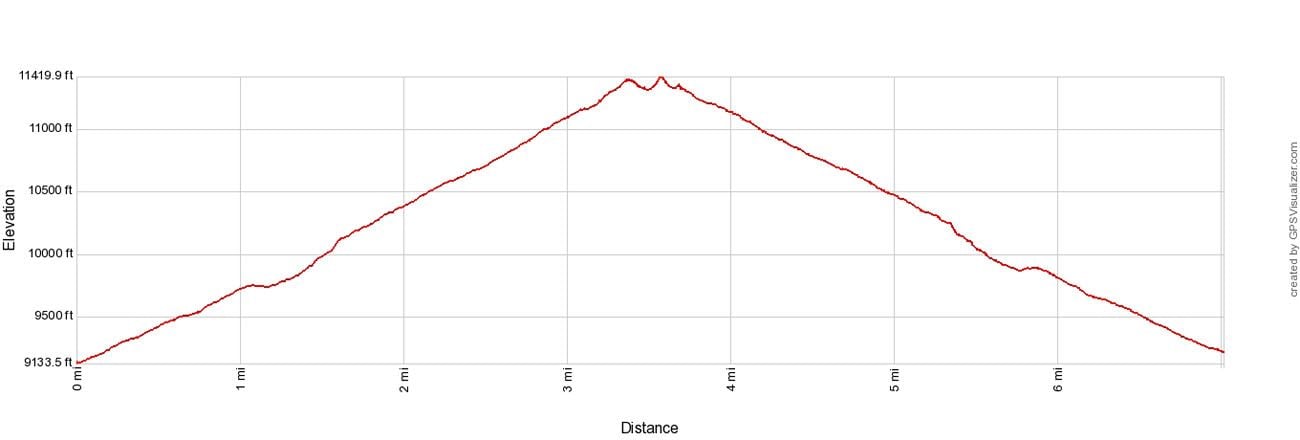
Twin Sisters Elevation Profile
Please practice the seven principles of Leave No Trace: plan ahead, stay on the trail, pack out what you bring to the hiking trail, properly dispose of waste, leave areas as you found them, minimize campfire impacts, be considerate of other hikers, and do not approach or feed wildlife.
How to Hike to Twin Sisters Peak
Step-By-Step Trail Guide
Getting to the Trailhead
The Twin Sisters trail is not located in the main part of Rocky Mountain National Park. To get to the trailhead from Estes Park, take Route 7 south to Lily Lake. When you reach Lily Lake (which will be on your right) make a left turn onto a gravel road (labeled as Serenity Ln on Google Maps). Follow the gravel road and look for a place to parallel park along the side of the gravel road. Note that the gravel road is only 0.4 miles long and then you will reach a dead end.
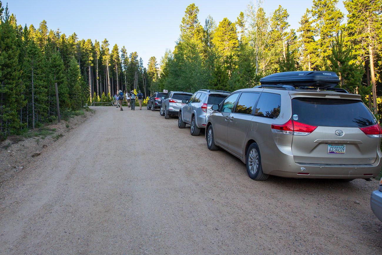
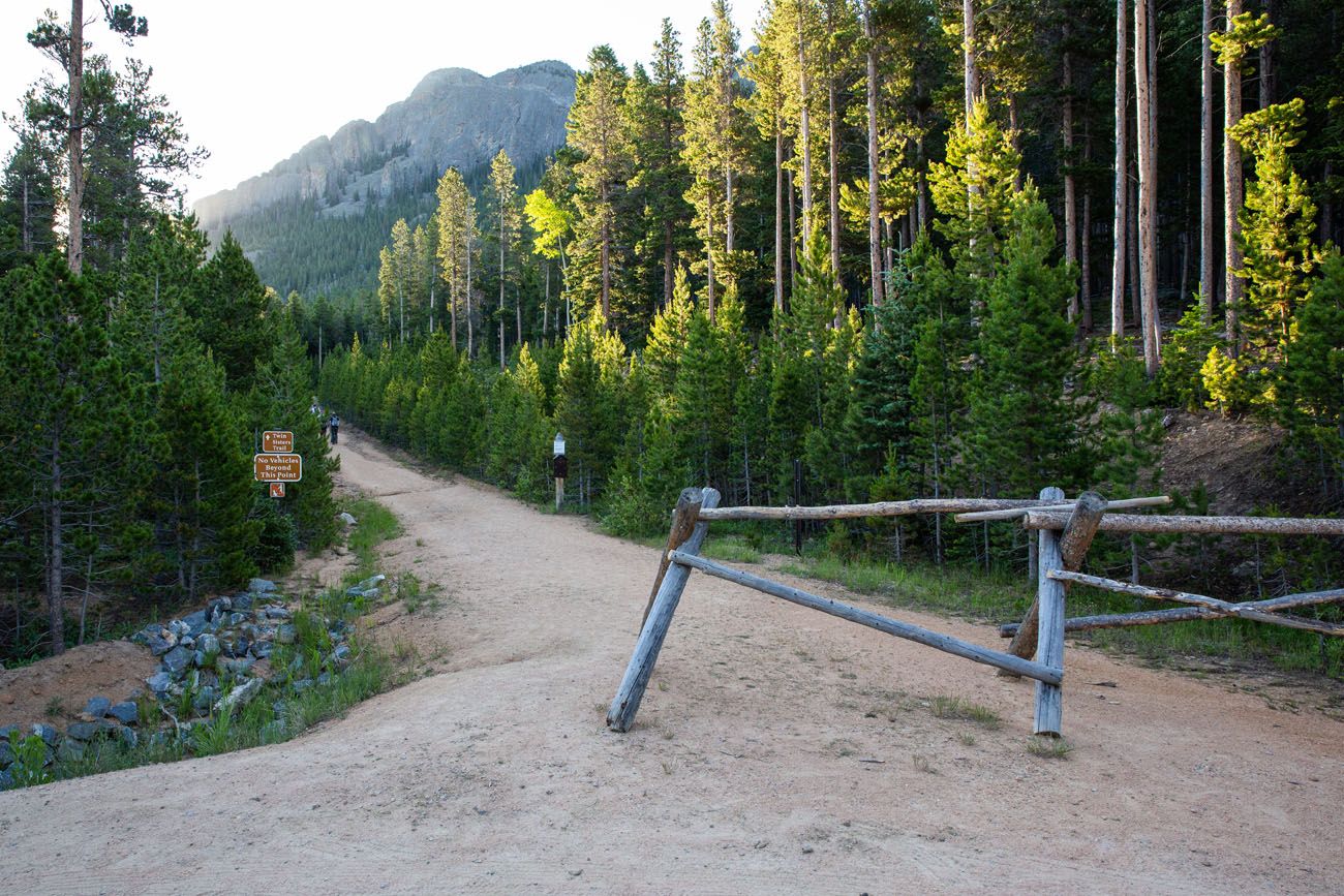
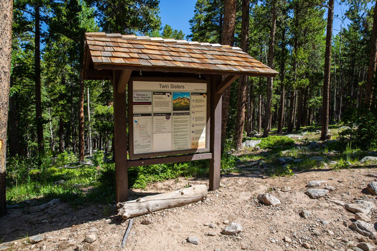
After parking, walk to the top of the road and turn left (labeled as Carys Pl on Google Maps). After a short distance, look for the trail to enter the forest on your left.
Hiking to the Saddle
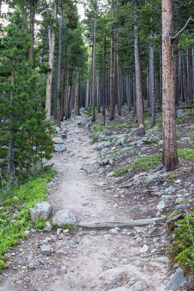
Once you start your hike, you’ll find yourself walking along an uphill trail through a forest. The trail is at a moderate incline. We got our first view out of the trees and were able to see mountain peaks just after the one-mile point.
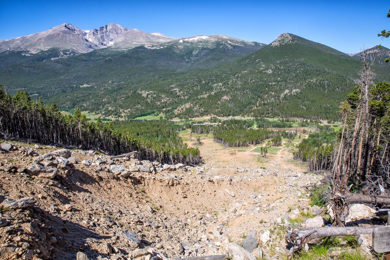
About a quarter of a mile later, we reached the landslide which cleared a section of the forest. The destruction caused by the landslide is impressive. And the clearing gives you another opportunity to enjoy the views of the mountain peaks as you look west towards Rocky Mountain National Park. The trail across the landslide is easy to follow, just cut straight across the open expanse until you reach the other side and re-enter the forest.
You’ll spend the next half of a mile following switchbacks in the forest that run next to the landslide. The last portion of those switchbacks will be noticeably steeper.
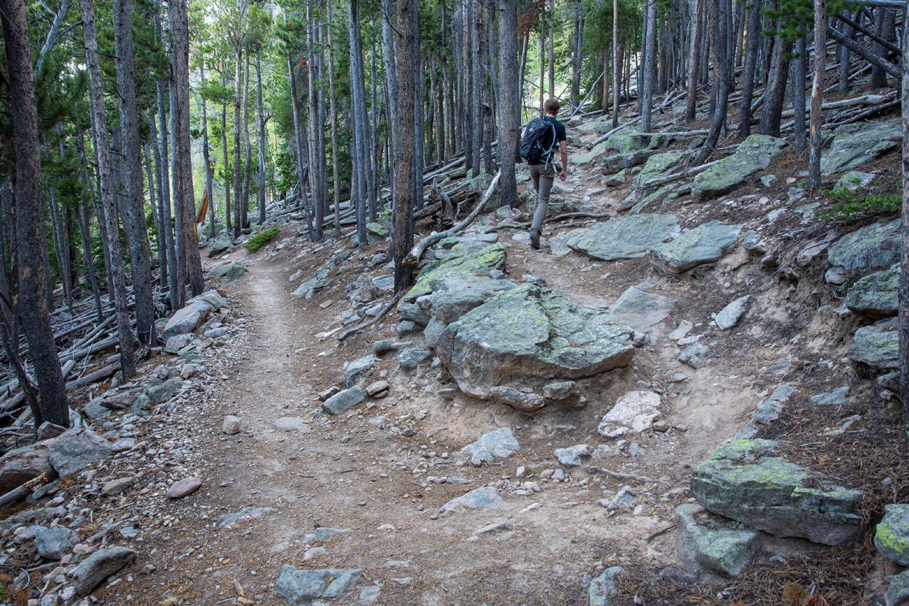
After that you’ll find that the trail is similar to how the hike started, a moderate uphill climb through a forest. The trees will start to thin out at about 2.25 miles into the hike and you will exit the trees at the 3 mile mark.
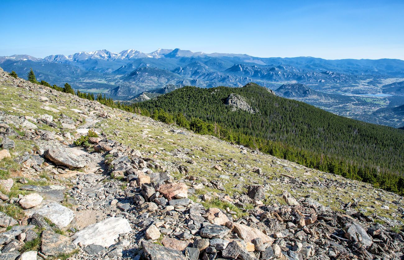
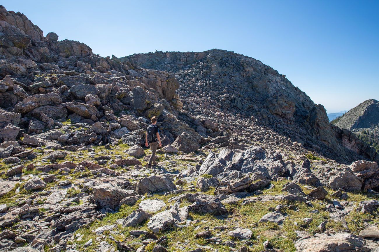
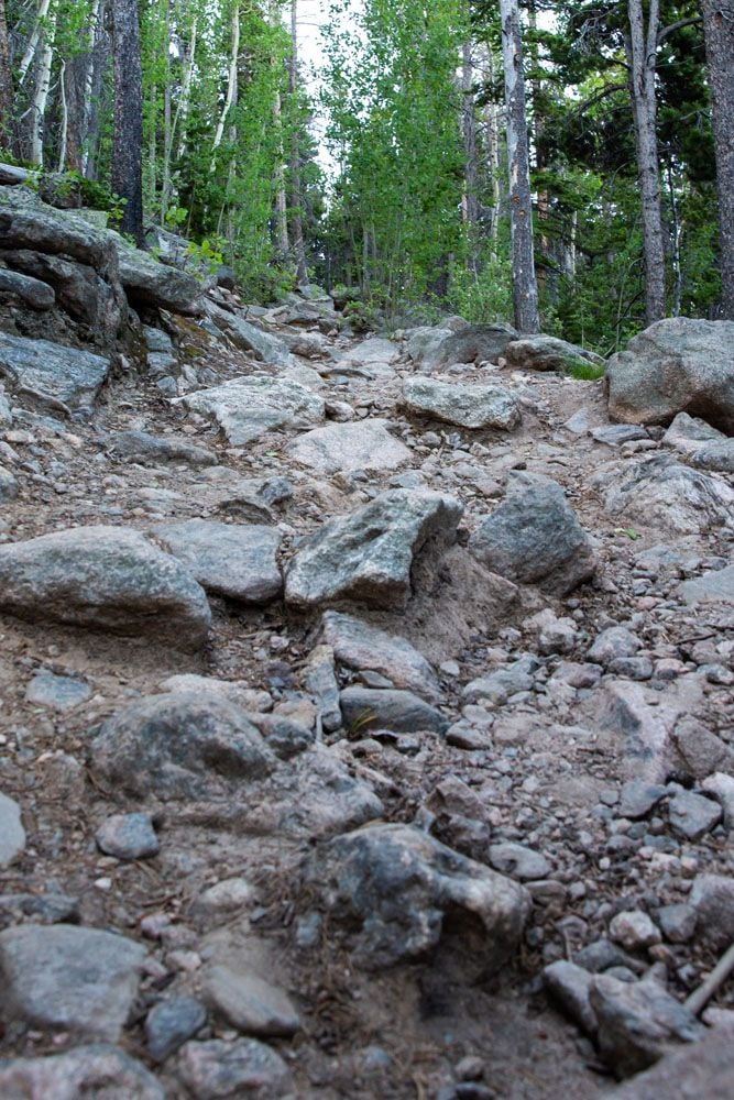
Once you exit the trees, the trail becomes more interesting. You hike along a rocky field for just under a half a mile until you reach the saddle. The trail is easy to follow and you start to get broader views around you that only get better the higher you climb.
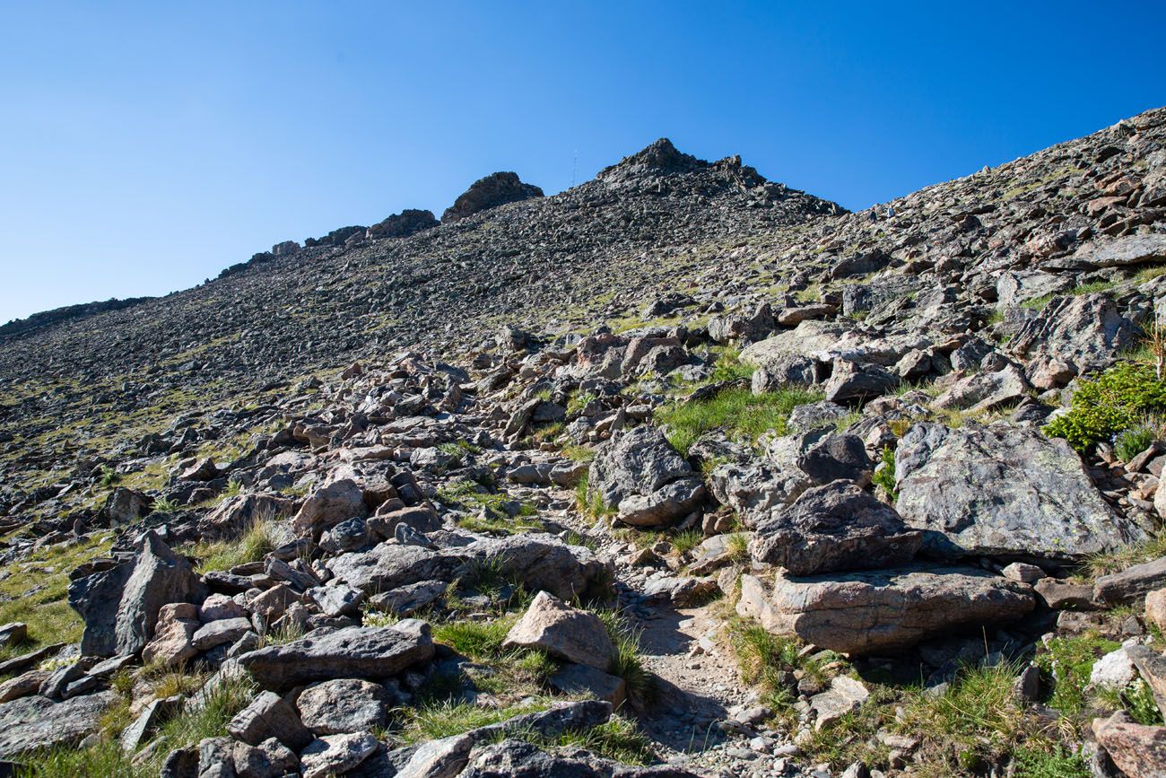
Once you reach the saddle, you’ll be standing in between the Twin Sisters Peaks, one on your right and the other on your left.
Ascending the Twin Sisters Peaks
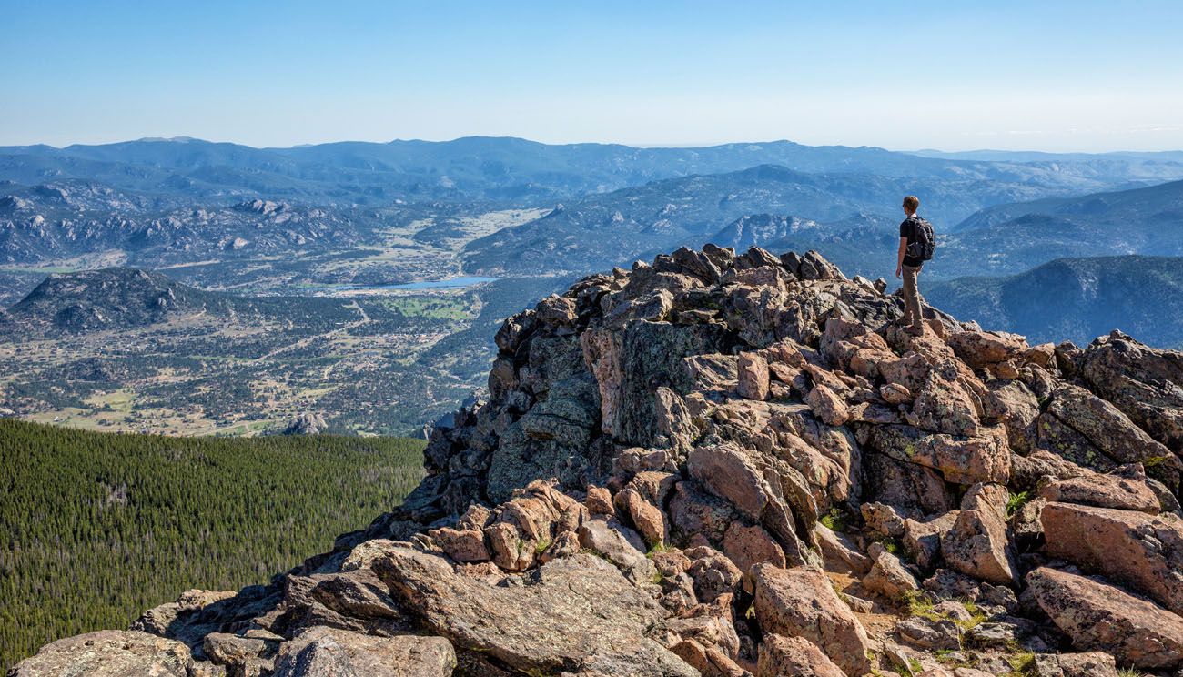
You are able to hike up both peaks. The Twin Sisters Peaks are close to each other and do not require much more elevation gain in order to summit them, about 100 feet of elevation gain each. From the saddle, it only takes a few minutes to reach the summit of either peak.
The peak to your right (as you hiked up to the saddle) is the easiest to ascend. Just walk around to the other side of the Forest Service hut that sits at the saddle and there is a noticeable and easy path up to the top of this peak.
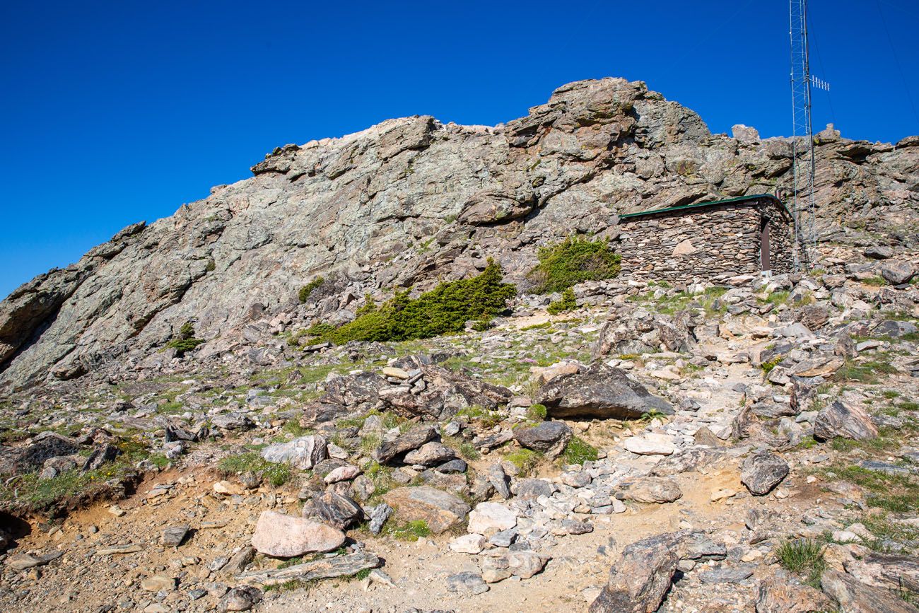
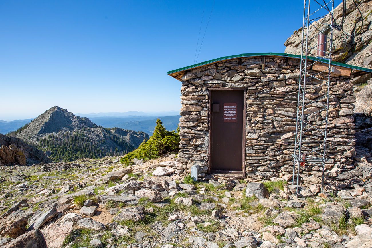
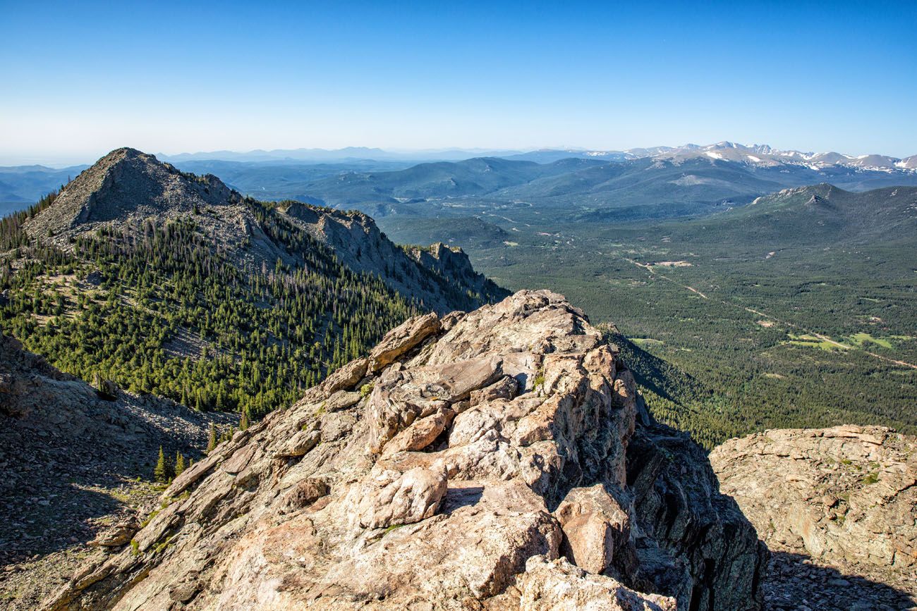
The trail from the Forest Service hut to the other peak wasn’t as clearly identifiable, but you can see the peak in front of you as you approach it. So head in that direction. You’ll walk on large boulders as you ascend to the top of this peak and you might need to use your hands at the very top to pull yourself up. It wasn’t anything challenging. It was actually more fun ascending this peak.
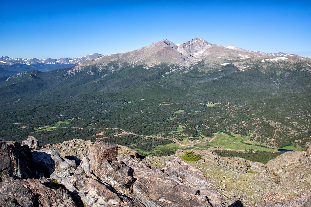
Longs Peak
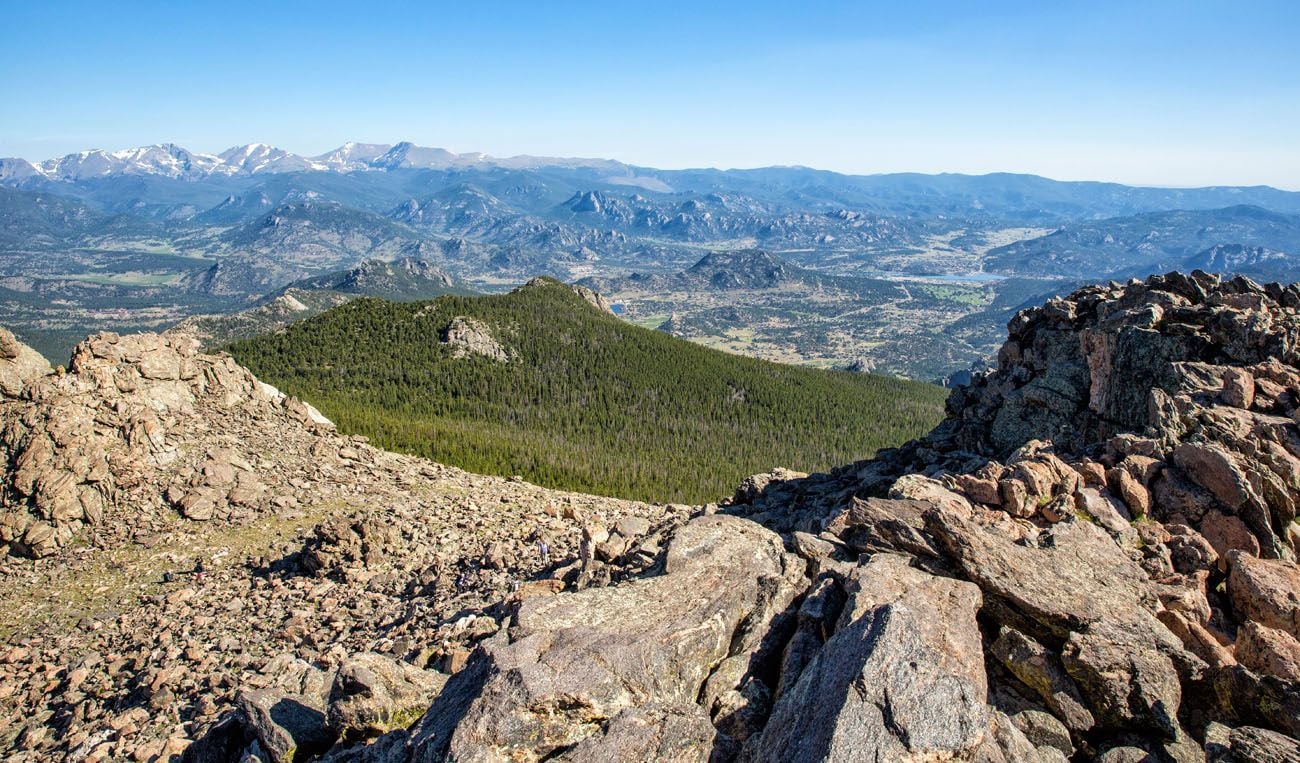
We recommend seeing the views from the top of both peaks. However, the views are very similar between the two.
After spending your time enjoying the views from the peaks and snapping a few photos, enjoy your downhill hike back to the parking lot.
Who Should Consider this Hike?
This hike doesn’t compete with the other, more exciting trails at Rocky Mountain National Park, such as Sky Pond, Chasm Lake, Mount Ida, Bear Lake with Emerald Lake, and Bear Lake with Odessa & Fern Lakes. So if you have limited time, then those trails will offer a much more enjoyable and memorable experience.
The majority of the Twin Sisters Trail was a boring walk through the forest without much to see until you exit the trees three miles into the hike. Yes, the views once you get above the tree line are good, but even then, they don’t top the sights delivered from the other trails I mentioned.
The Twin Sisters Hike is better suited for people who have already completed the other hikes I mentioned. You might also consider this hike as a first acclimatization hike if you are on a trip to summit Longs Peak. In addition to beginning your acclimatization process, you will appreciate seeing the views of Longs Peak before you summit it.
This is also a good hike if you are looking to avoid the crowds found in the heart of Rocky Mountain National Park. This trail can be less crowded and there is less concern with finding parking. Furthermore, locals and trail runners might appreciate that this hike is easily accessable without having to enter the main area of the national park.
Tips to Have the Best Experience
Start the hike early, ideally by 8 am. During the summer months, afternoon thunderstorms are common, typically occurring by 2 pm. To avoid the storms, return to the parking lot by 2 pm.
Be prepared to turn around early. If weather conditions change and you see approaching thunderstorms, be prepared to end your hike before you reach Emerald Lake.
Trail updates. As you plan your trip to Rocky Mountain National Park, and just before doing this hike, check the National Park Service website for updates on trail and road closures.
What to Bring on the Hike
Hiking shoes or a good pair of walking shoes. As long as there is not snow on the ground, a good pair of walking shoes or running shoes are sufficient. The trail is rocky and uneven but hiking shoes are not necessary for this hike.
Water and snacks. Bring at least 2 liters of water in the summer.
Sunscreen, hat, and sunglasses. For portions of the hike you will be in and out of the shade of the trees.
Camera. Even a smartphone will do.
If you are new to hiking or are curious about what you should bring on a hike, check out our Essential Hiking Gear Guide. Find out what we carry in our day packs and what we wear on the trails.
Do you have any questions about how to hike the Twin Sisters Peak? Let us know in the comment section below.
More Information about Colorado & Rocky Mountain National Park
ROCKY MOUNTAIN NATIONAL PARK: Check out our Rocky Mountain National Park Travel Guide for important travel planning tips, sample itineraries, advice on when to go, where to stay, and more.
ROCKY MOUNTAIN NATIONAL PARK ITINERARY: How many days do you need in RMNP? Get the answer to this question and learn how to plan your itinerary in our Rocky Mountain National Park Itinerary Planner.
ESTES PARK: In our Guide to Estes Park, learn about where to stay, where to eat, and what to do.
BLACK CANYON OF THE GUNNISON: On a visit to the Black Canyon of the Gunnison, you can explore both the North Rim and the South Rim. Get the full details on how to plan your visit in our Guide to Black Canyon of the Gunnison National Park.
MORE GREAT HIKES IN THE NATIONAL PARKS: From hikes to the tallest peaks to beautiful coast trails, read our Guide to the Best Day Hikes in the US National Parks. If you prefer to keep your hikes short and sweet, read our guide to the Best Short Hikes in the National Parks.
If this is part of a bigger road trip through the USA, visit our United States Travel Guide and our Colorado Travel Guide for more inspiration and travel planning tips.
All rights reserved © Earth Trekkers. Republishing this article and/or any of its contents (text, photography, etc.), in whole or in part, is strictly prohibited.

Comments 4