Driving South Rim Drive Road is one of the best things to do in the Black Canyon of the Gunnison. Along its short distance, you can take your pick between 12 overlooks. This is the easiest and fastest way to get panoramic views of the canyon, see the unique, striated cliffs, and peer down to the Gunnison River.
In this post, get the full details on what to expect along the South Rim Drive Road.
South Rim Drive Road, Black Canyon of the Gunnison
The South Rim Drive Road is 7 miles long. Stretching from Tomichi Point to High Point, you can visit all, or just a few, of the 12 viewpoints.
Some overlooks are located right next to the parking lot, so a few minutes is all you will need to visit them. Other overlooks can sit 1/3 of a mile from the road, so expect to do a little walking.
Below we list each overlook, with photos and information to help you plan your time. There is no reason to stop at all of them, because they get to be repetitive, so I’ll let you know our favorites at the end of this post.
These overlooks are listed in order, starting with Tomichi Point and ending at High Point. All distances are one-way.
How to Use This Map: Click the icons on the map to get more information about each point of interest. Click the star next to the title of the map to add this map to your Google Maps account. To view it on your phone or computer, open Google Maps, click the menu button, go to “Your Places,” click Maps, and you will see this map on your list.
Tomichi Point
Distance: 10 feet | Time: 5 – 10 minutes
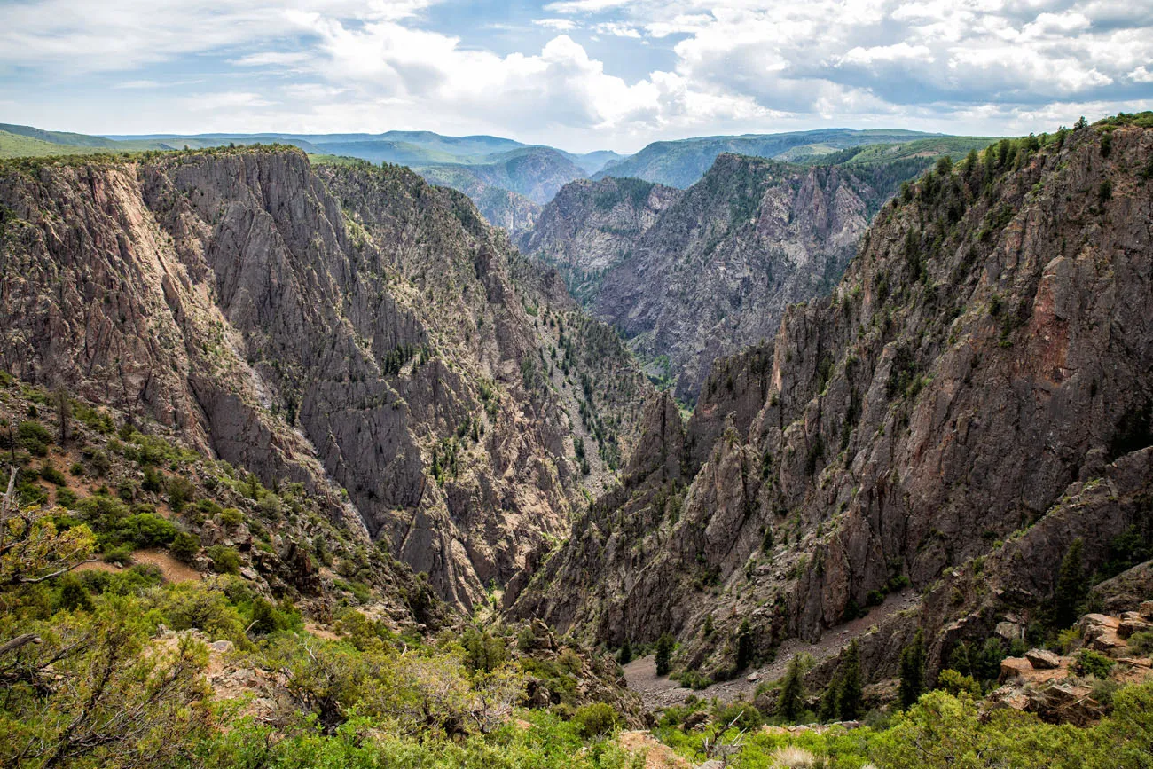
This viewpoint is located right before you get to the visitor center. From here, you look east along the canyon. This overlook is located on the Rim Rock Trail, so if you have plans to hike this short trail, you’ll catch the view from Tomichi Point along the way. The nice thing about this viewpoint is that no walking is necessary. Simply step out of your car and walk a few steps to the viewpoint.
Gunnison Point
Distance: 100 yards | Time: 10 – 15 minutes
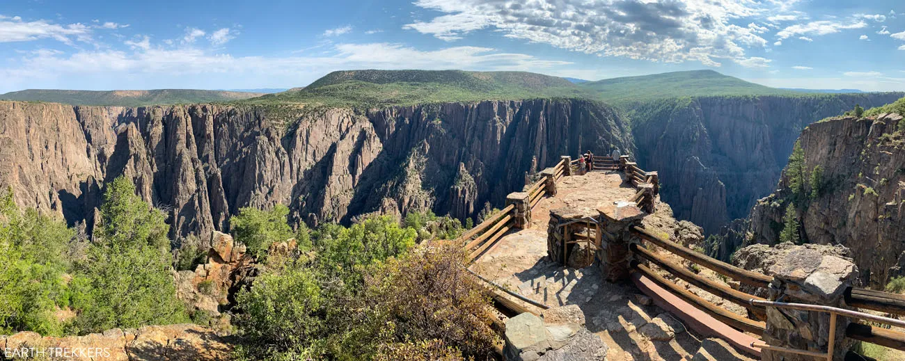
This is one of the best overlooks in Black Canyon of the Gunnison. It is located right next to the Visitor Center. It’s a short, downhill walk to the viewpoint and the view is incredible. From here, you get panoramic views of the canyon and can look down into the far depths of the canyon.
Pulpit Rock Overlook
Distance: 134 yards | Time: 10 minutes
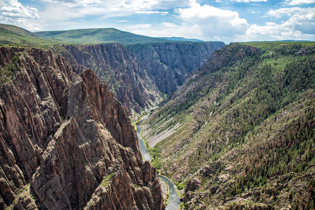
This is a popular overlook because it gives you a sweeping view of Black Canyon of the Gunnison. From here, you get to appreciate just how narrow and deep this canyon is.
Cross Fissures View
Distance: 357 yards | Time: 15 – 20 minutes
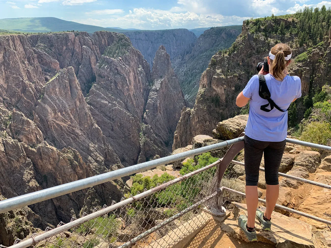
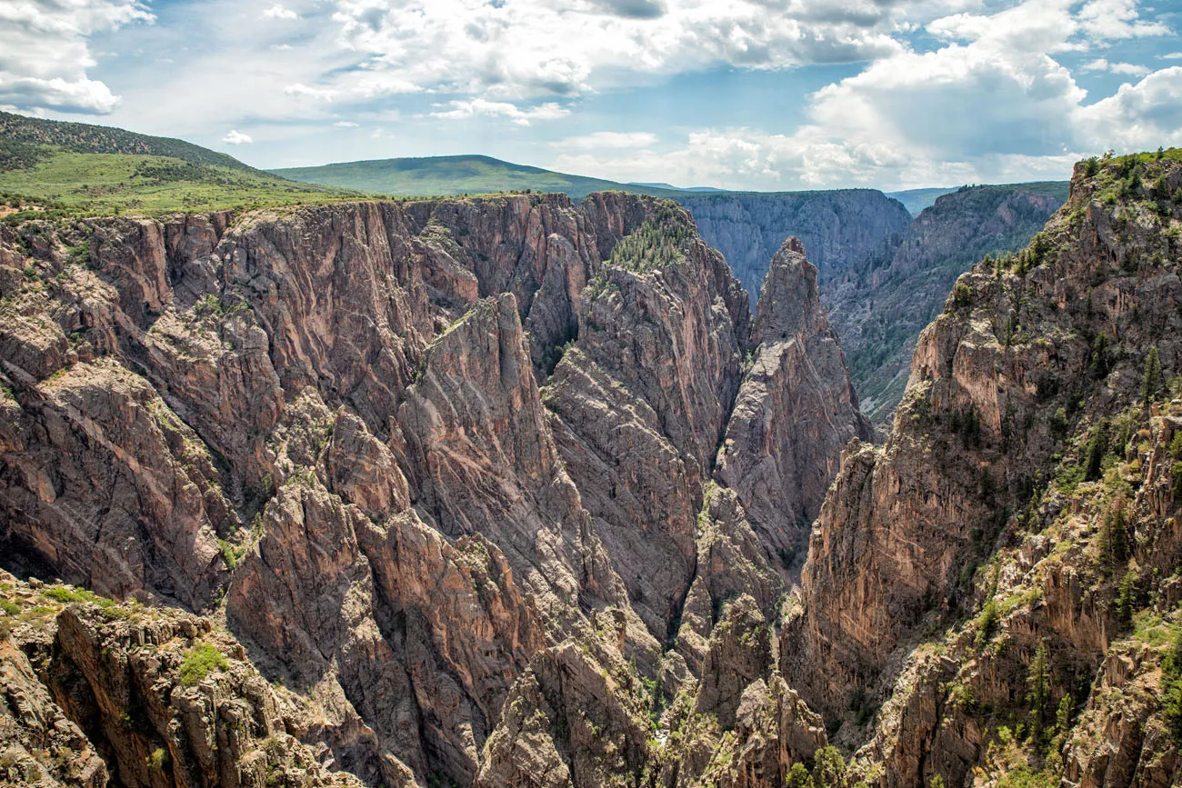
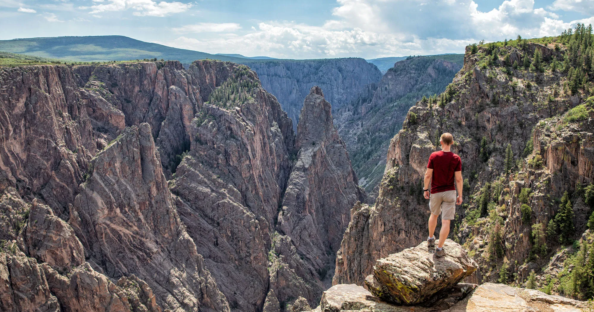
This viewpoint gives you up a close-up view of fissures of rock within the canyon. It lacks the big, sweeping views you get from other overlooks but we really liked this one. This is a unique viewpoint, with views of the jagged rocks, and it’s also less crowded than some of the other overlooks on this list. Plus, you can take some great photos here (the cover photo for this post was taken here).
Rock Point
Distance: 294 yards | Time: 15 minutes
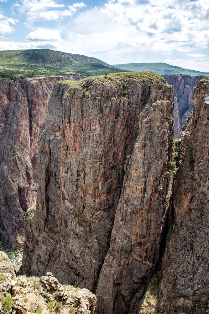
Honestly, the view from Rock Point is nothing special. From the overlook, you get to see a massive chunk of rock creating a bend in the Gunnison River.
Devils Lookout
Distance: 607 yards | Time: 20 – 30 minutes
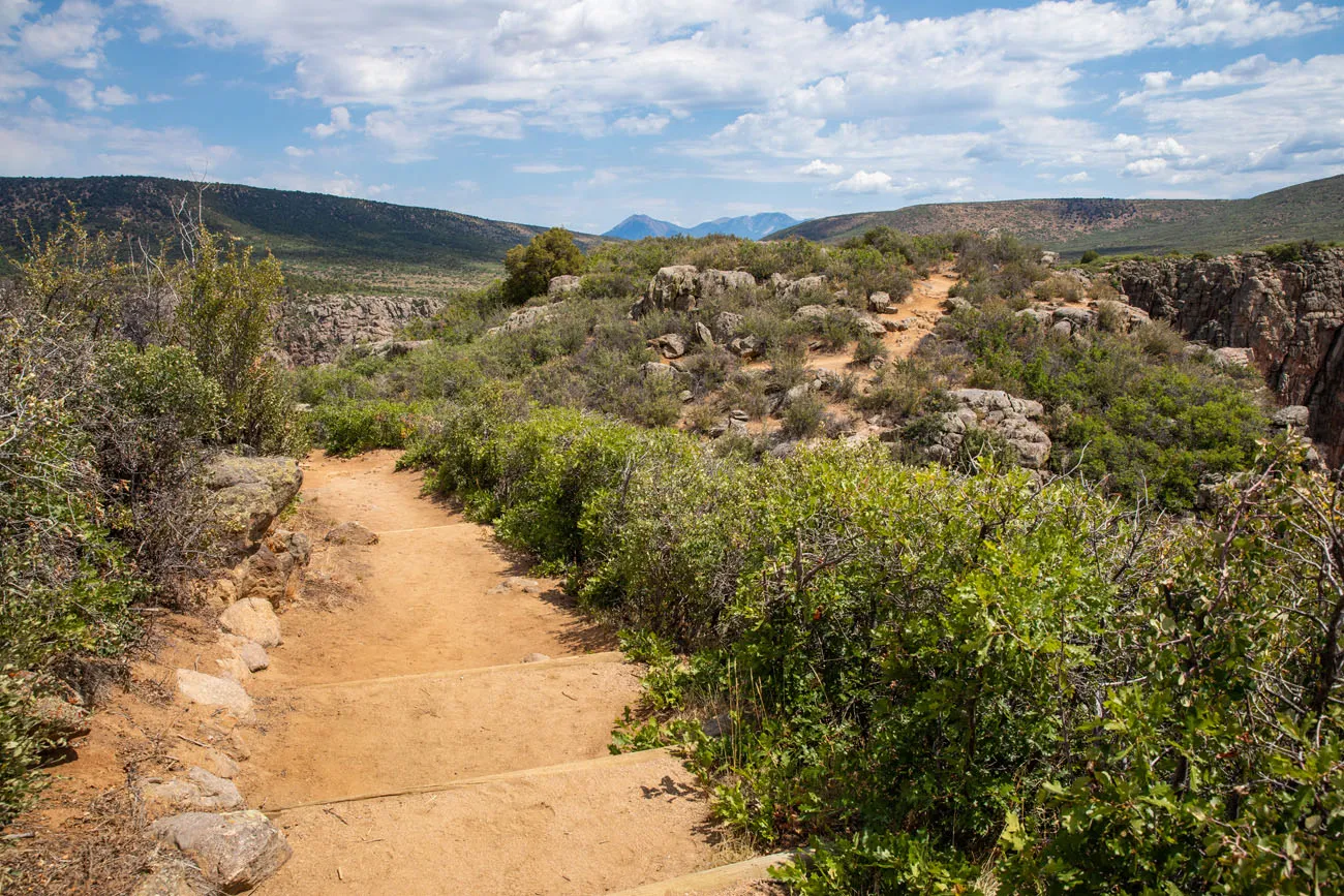
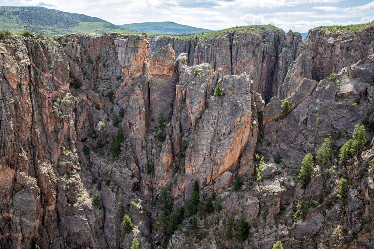
It’s a long walk to this overlook, about a third of a mile one-way. You get nice views of the canyon but for the amount of walking that you do, I don’t think that this overlook is worth it.
While in Black Canyon of the Gunnison National Park, please practice the seven principles of Leave No Trace: plan ahead, stay on the trails, pack out what you bring to the hiking trails, properly dispose of waste, leave areas as you found them, minimize campfire impacts, be considerate of other hikers, and do not approach or feed wildlife.
Chasm View
Distance: 100 yards | Time: 10 minutes
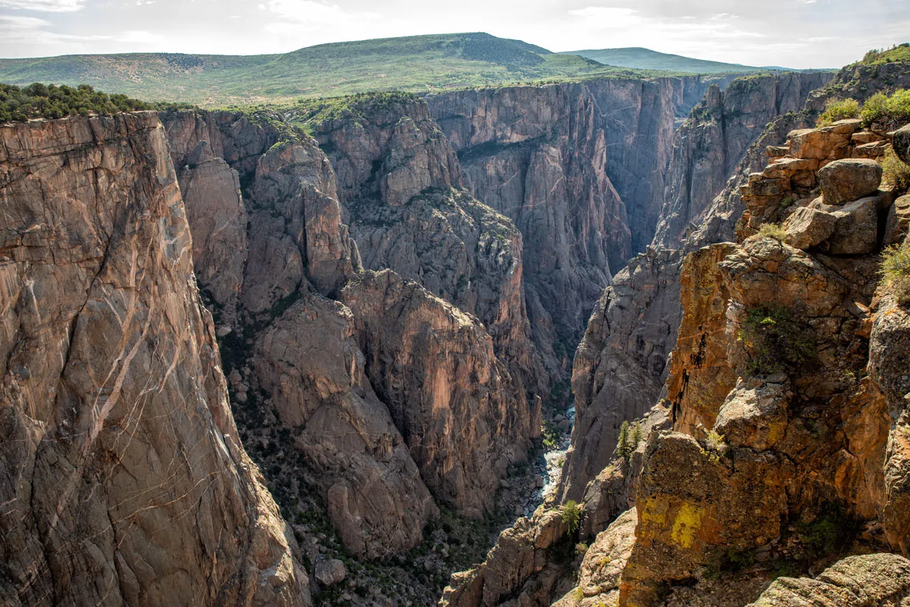
From Chasm View, you get to see canyon at its narrowest point. Along this stretch of Black Canyon of the Gunnison, the rock walls plunge straight down to the Gunnison River.
Painted Wall
Distance: 200 yards | Time: 10 – 15 minutes
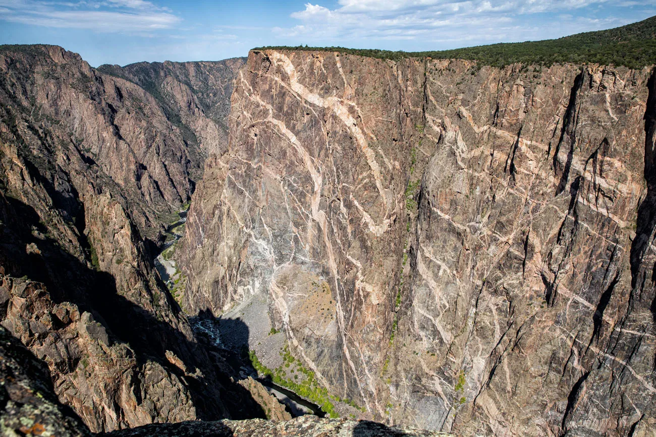
This overlook gives you the best view of the striated walls of the canyon. The Painted Wall is the tallest cliff in Colorado at 2,250 feet.
The light-colored bands are called pegmatite. Over a billion years ago, molten rock squeezed between fissures in the rock, forming these bands.
Cedar Point Nature Trail
Distance: 303 yards | Time: 15 – 20 minutes
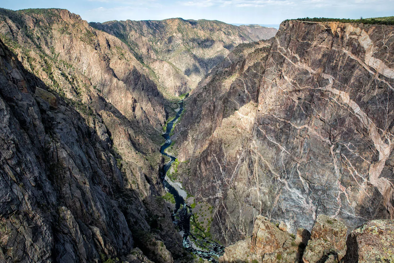
This is one of the best overlooks in Black Canyon of the Gunnison. You can look along the Gunnison River with the steep, canyon walls on either side. Plus, you get to see the amazing, striped walls of the North Rim of the canyon.
For more information about Black Canyon of the Gunnison National Park, read our Black Canyon of the Gunnison Travel Guide. Get important travel planning tips, sample itineraries, advice on when to go, where to stay, and more.
Dragon Point
Distance: 100 yards | Time: 10 minutes
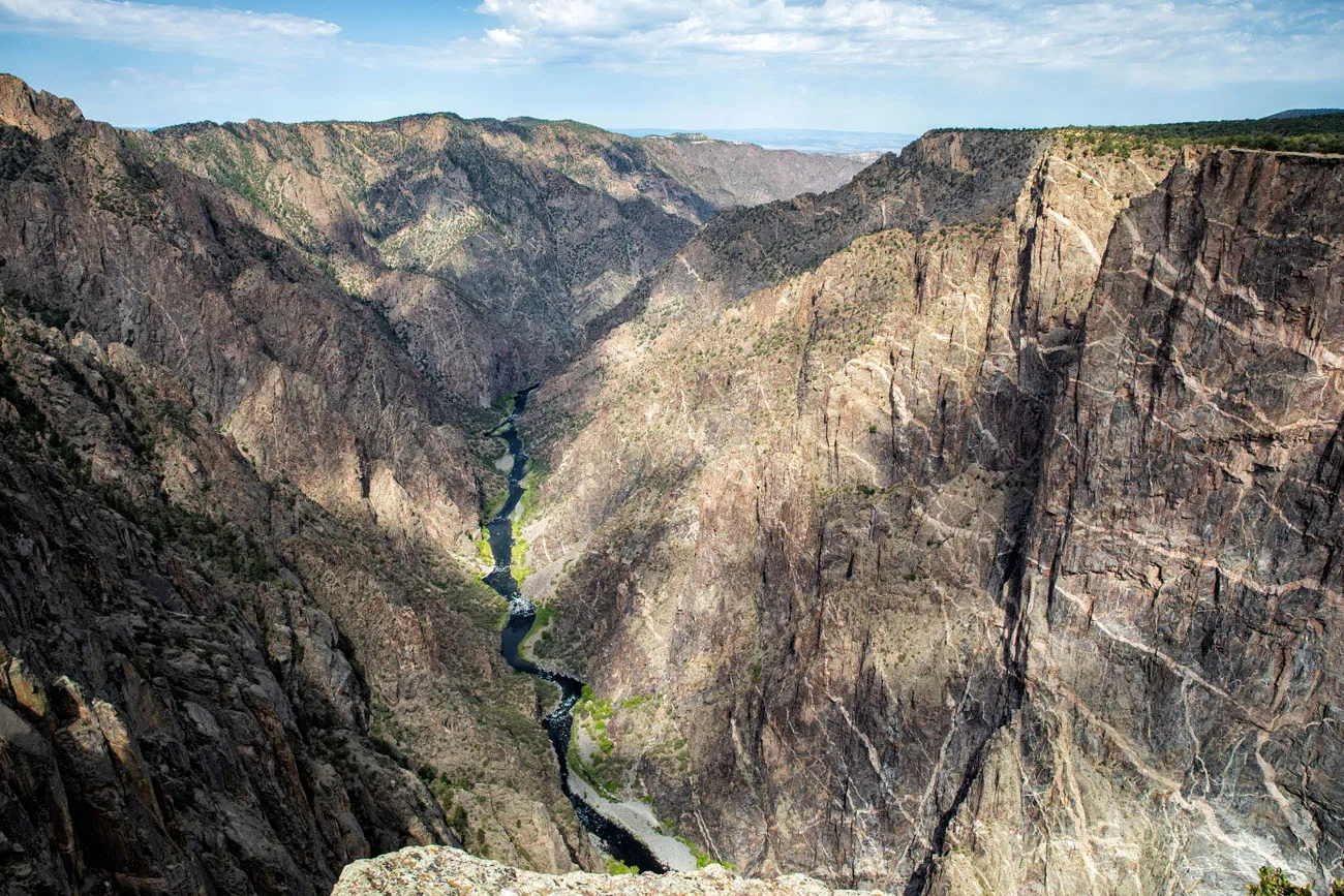
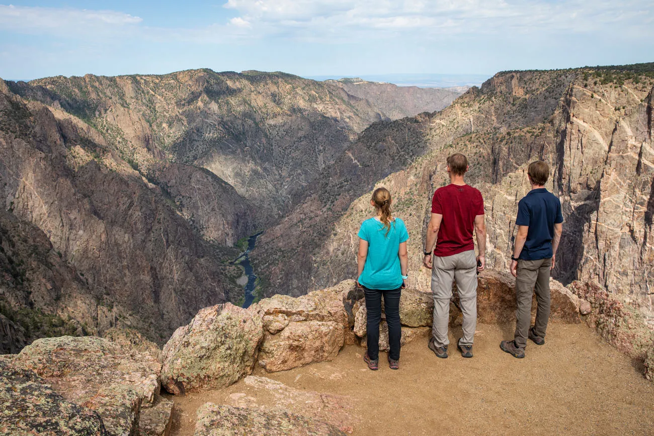
This is another great overlook in the park. However, the view is very similar to Cedar Point Nature Trail so I don’t think you need to visit both of them. It’s a shorter walk to get to Dragon Point, so if you only want to visit one of these two viewpoints, I recommend Dragon Point.
Sunset View
Distance: 10 feet | Time: 5 minutes
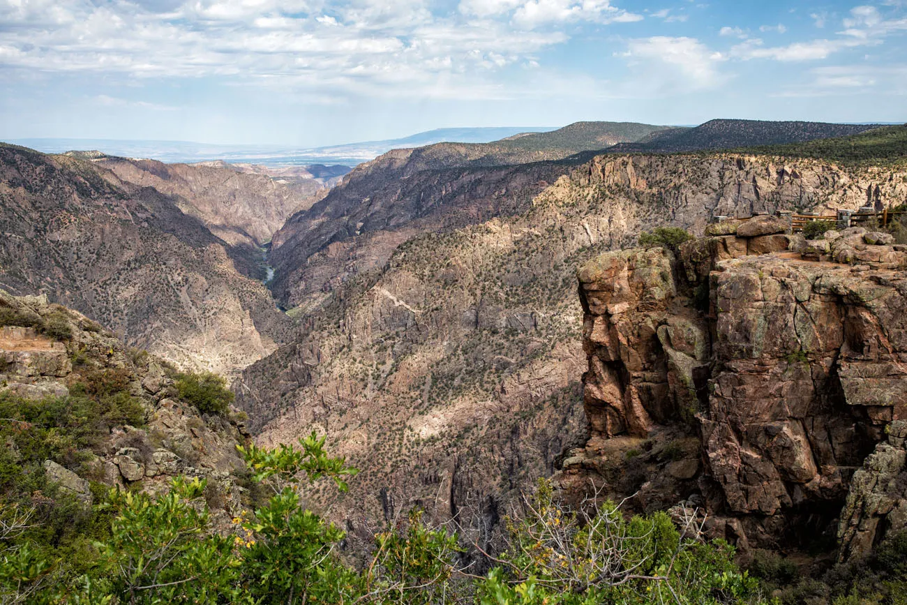
The nice thing about this overlook is that you don’t have to walk far from your car to see the view. However, it’s not the most thrilling view, so I think this viewpoint is worth skipping. There is a picnic area here, right next to the parking lot, so if you packed lunch, this is a nice place to enjoy your meal, and the view. It’s also a great place to watch the sunset.
High Point
Distance: 100 yards | Time: 10 minutes
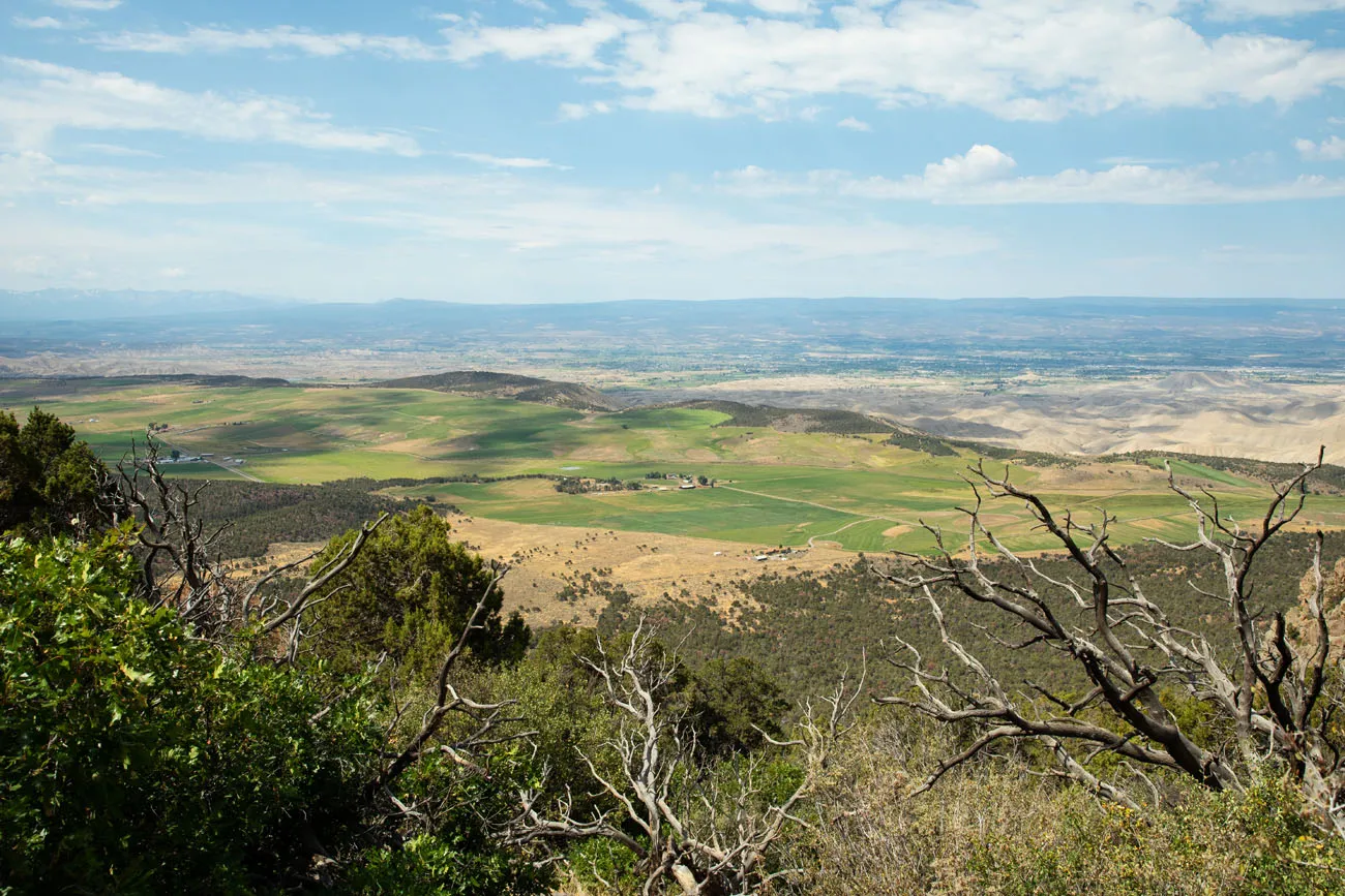
The South Rim Road ends at the parking lot for High Point and Warner Point Nature Trail. From the parking lot, walk a short distance down the Warner Point Trail for the view. Now, you are looking south so you no longer have views of the canyon. Instead, you are looking out over Montrose and the Uncompahgre Valley. This viewpoint is only worth it if you have plans to hike the Warner Point Nature Trail.
Best Views on the South Rim Road
If you only have the time, or the energy, for a handful of viewpoints, here are our six favorites:
- Gunnison Point
- Pulpit Rock
- Cross Fissures View
- Chasm View
- Painted Wall
- Cedar Point Nature Trail or Dragon Point
Before You Go: Important Things to Know
Allow 2 to 3 hours to drive the South Rim Drive Road. With this amount of time, you can visit roughly half of the overlooks. If you want to see all of them, give yourself four hours.
The South Rim Road is closed beyond the Visitor Center in the winter months. Get updates on road conditions on the National Park Service website.
For a full list of things to do on the South Rim, read our post 6 Best Things to do on the South Rim of Black Canyon of the Gunnison.
If you have any questions about driving the South Rim Road in Black Canyon of the Gunnison, let us know in the comment section below.
More Information about Colorado
COLORADO: To read all of our articles about Colorado, check out our Colorado Travel Guide.
BLACK CANYON OF THE GUNNISON: On a visit to the Black Canyon of the Gunnison, you can explore both the North Rim and the South Rim. Get the full details on how to plan your visit in our Guide to Black Canyon of the Gunnison National Park.
MESA VERDE: Learn about the best things to do and how to plan your visit in our Guide to Mesa Verde National Park.
ROCKY MOUNTAIN NATIONAL PARK: Check out our Rocky Mountain National Park Travel Guide for important travel planning tips, sample itineraries, advice on when to go, where to stay, and more.
USA ROAD TRIPS: Planning your next big adventure in the USA? Check our our USA Road Trip Guide for travel ideas and sample itineraries.
If this is part of a bigger road trip through the USA, visit our United States Travel Guide for more inspiration and travel planning tips.
All rights reserved © Earth Trekkers. Republishing this article and/or any of its contents (text, photography, etc.), in whole or in part, is strictly prohibited.

Comments 8