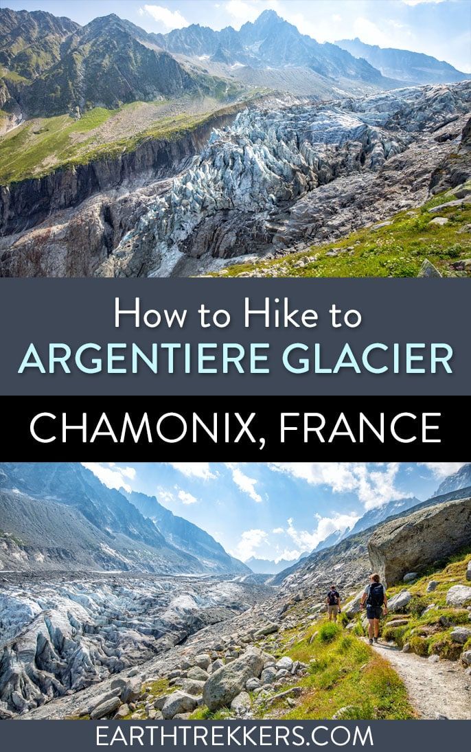
Hiking to the Argentière Glacier is a great hike to do if you are looking for an easy excursion with beautiful views of the French Alps. The trail leads to an active glacier, where you can stand in front its frigid wall and listen for chunks of ice breaking off in the summer sun.
A cable car whisks hikers up into the mountains, eliminating a huge chunk of elevation gain. From the cable car, it’s a relatively easy out-and-back hike to viewpoints of Glacier d’Argentière, with the option to detour to Chalet Refuge de Lognan.
How to Get to Argentière from Chamonix
To reach the town of Argentière, we took the train from Chamonix. Trains run every 30 minutes to 1 hour, depending on the time of day. By train it takes approximately 20 minutes to travel to Argentière from Chamonix. We purchased our train ticket in the Chamonix train station and boarded the next train.
For train timetables and pricing, click here.
You also have the option to take a bus, taxi, or drive yourself to Argentière. Personally, we recommend the train, as it was a relaxing and enjoyable ride.
Argentière Cable Car
In Argentière, there are two cable car stations that sit side-by-side.
Le Grand Montets is a cable car that runs to the Lognan station. In 2022, when we did this hike, this cable car was closed. We spoke to a staff member who said that the cable car is undergoing a major renovation and may not open until 2026. Get updates here.
Sitting next to the Le Grand Montets station in Argentière is the Telecabine de Plan Jordan. This gondola runs on an almost parallel track as the Grand Montets cable car, and it gets you to roughly the same point on the mountain.
To get to the Telecabine de Plan Joran station, it is about a 5-minute walk from the Argentière train station. Exit the train station and turn left on Rue Charlet Straton. There will be signs directing you to Grands Montets. The Telecabine de Plan Jordan is located to the left of the Grands Montets station.
Important Note: You also have the option to hike to the Argentière Glacier from the town of Argentière, but this would be a long and steep climb. We recommend taking the gondola or cable car (once it reopens).
How to Hike to the Argentière Glacier from Joran
Argentière Glacier Hiking Stats
Below are the hiking stats from the Joran gondola station out-and-back to the viewpoint of the Argentière glacier.
Distance: 4.7 km (2.9 miles) out-and-back
Total Ascent: 250 meters (820 feet)
Lowest Elevation: 2,130 meters (6,990 feet)
Highest Elevation: 2,185 meters (7,170 feet)
Time: 1.5 to 3 hours
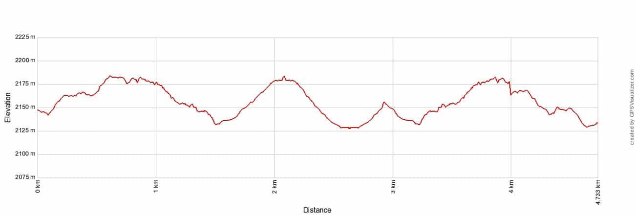
On this hike, there are a few optional add-ons: hike higher along the glacier for better views and hike to Chalet Refuge de Lognan. These additional distances, and how to do this, are mentioned later in this guide.
Step-By-Step Trail Guide
Joran Gondola to Viewpoints of Glacier d’Argentière
Once you step off the gondola, the trail is right before you. Follow trail signs for Point de Vue Glacier d’Argentière.
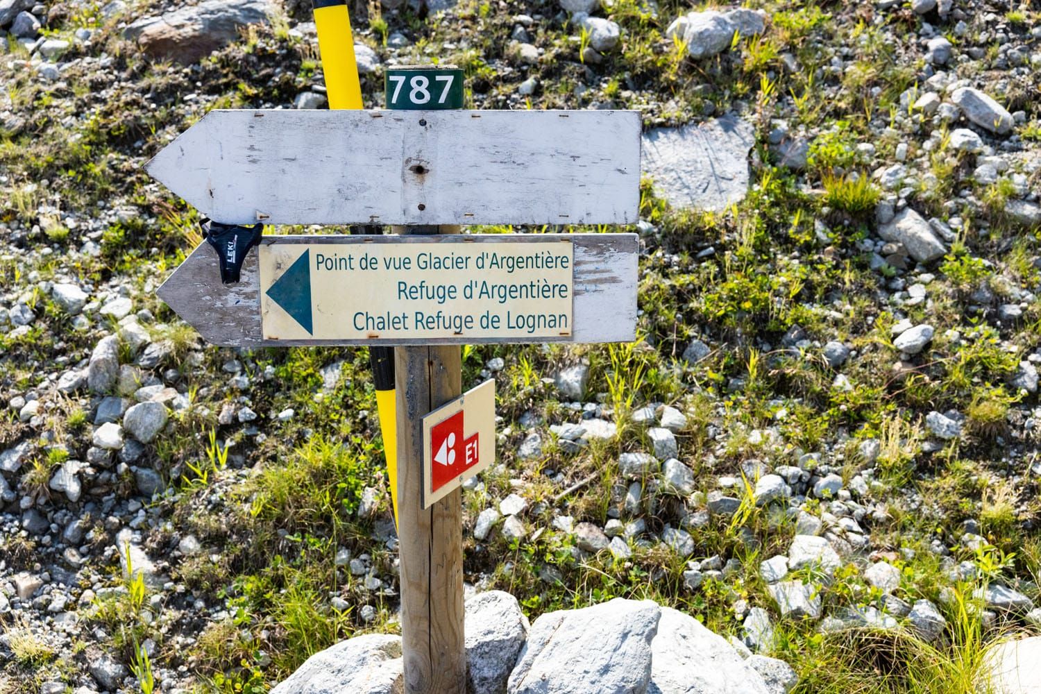
Hiking sign next to the Joran gondola station.
The hike to the glacier is only a little more than a mile long (about 1.6 km) and it remains relatively flat, with a few ups and downs along the way. Looking out, you get a very nice view over Argentière and the mountains on the opposite side of the valley. You also get a view of the Lognan cable car station (La Croix de Lognan).
Here are views of the trail to Glacier d’Argentière in photos.
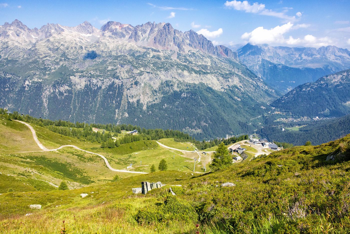
Looking out over the Lognan cable car station from the trail.
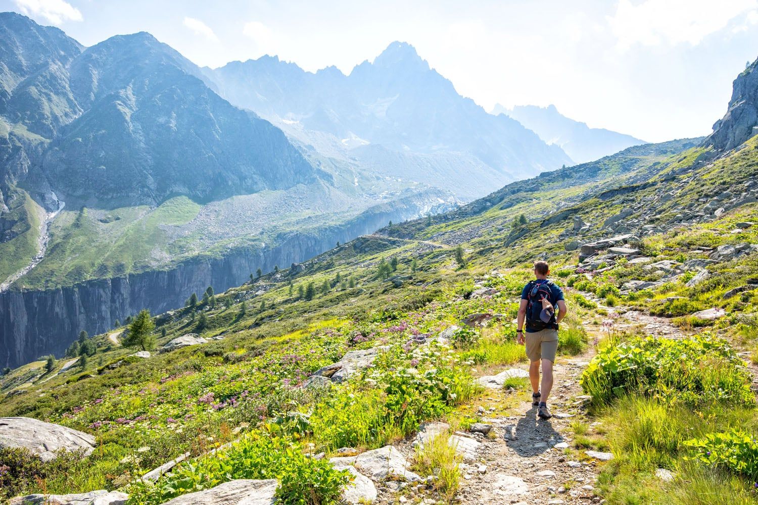
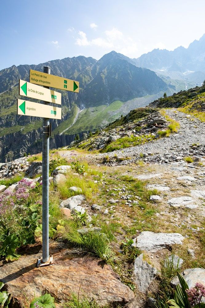
When you get to this sign, the trail changes over to a gravel road. Stay to the right to continue to the upper viewpoint of the Argentière Glacier. If you go left, you will go to the lower viewpoint.
As you get closer to the glacier, the trail changes from a narrow, dirt trail to a wide, rocky, gravelly road. Continue to follow signs for “Le Point de Vue.” From this point, it only takes a few more minutes to get to the first viewpoint of Glacier d’Argentière.
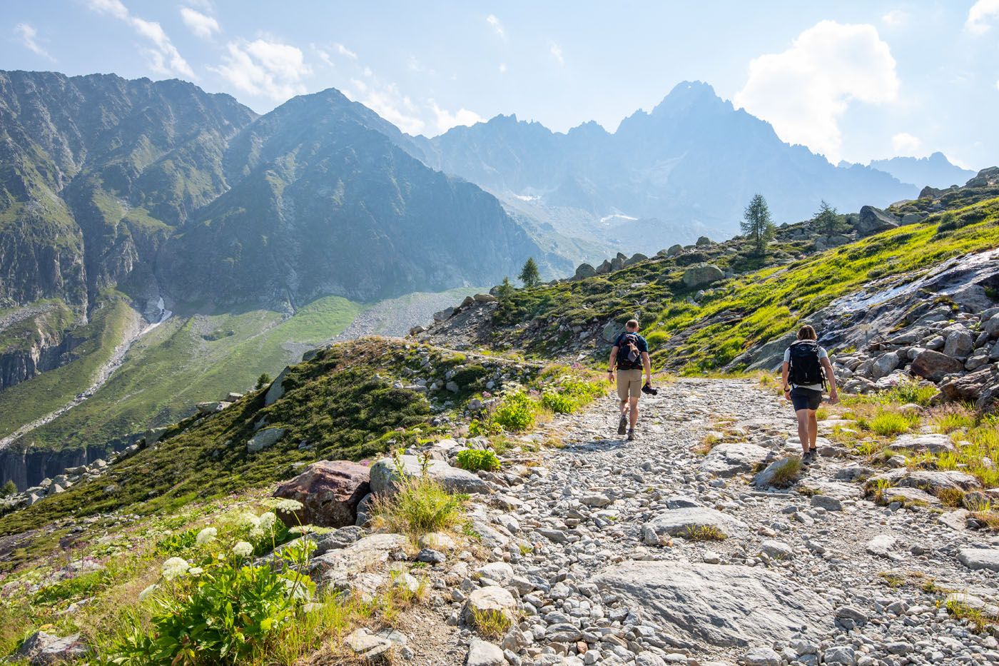
Views of Glacier d’Argentière
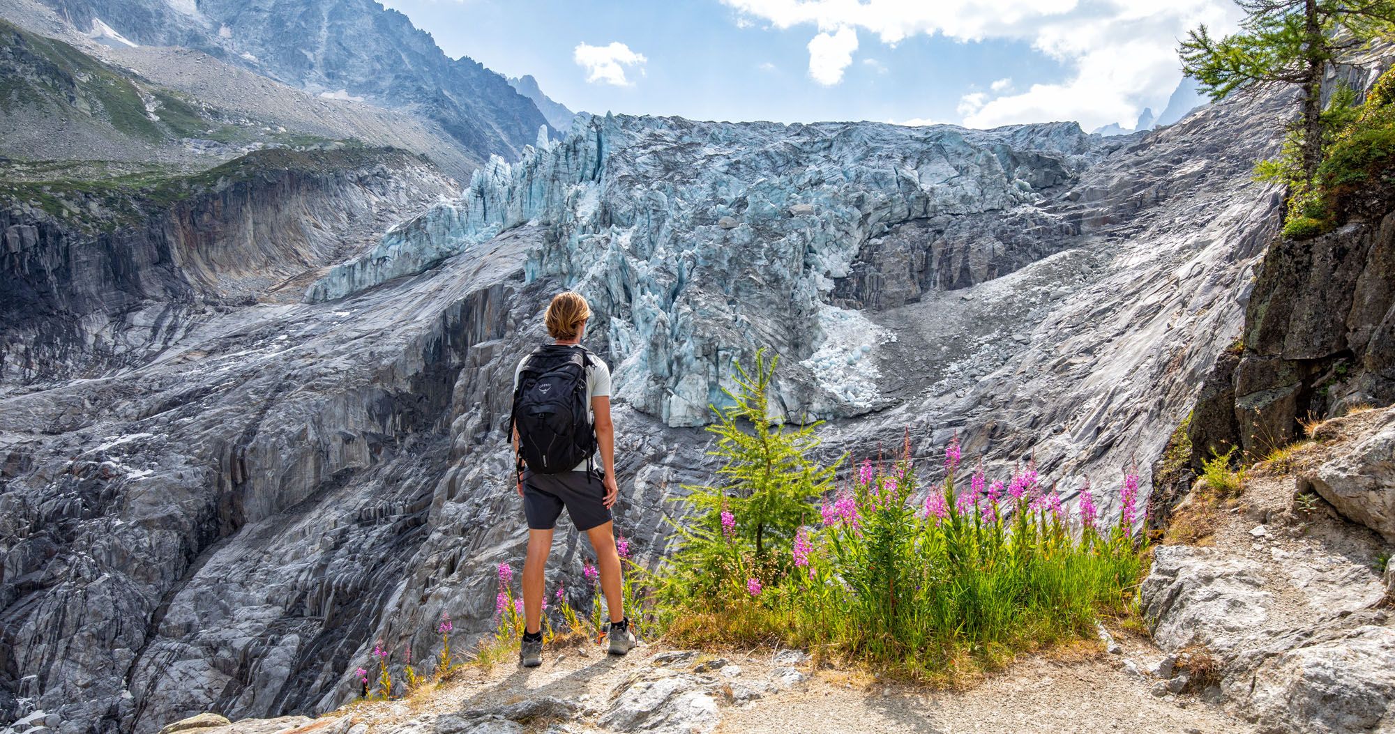
Once you reach the glacier, you have an awesome view of its icy towers and deep crevices. You can also see the valley that the glacier carved out during its recession.
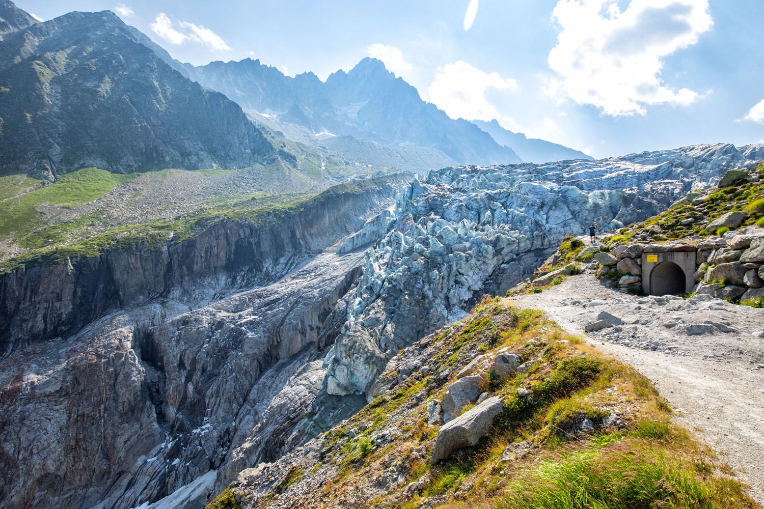
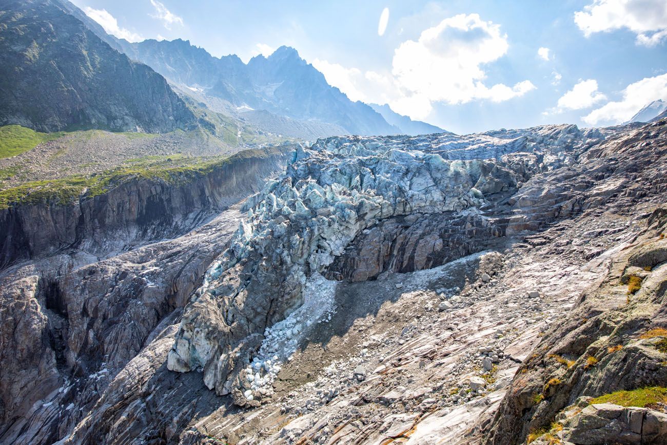
Argentière glacier
Once you reach the glacier you have a few options for how to continue the hike.
- You can climb up the ridge to see the top of the glacier.
- You can hike down to Chalet Refuge de Lognan to get a snack or refreshment.
- You can hike down to the lower viewpoint of the Argentière glacier (you will pass this viewpoint on the way to Chalet Refuge de Lognan).
- You can hike back the way you came to return to the Joran gondola.
We hiked higher along the trail for more views of the glacier and then headed to the Chalet Refuge de Lognan before returning back to the cable car.
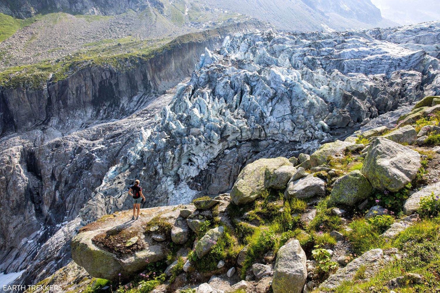
More Views of Argentière Glacier
From the viewpoint at the end of the gravel road, there is a steep, rocky trail that heads uphill to a ridgeline. From this part of the trail, you get great views over the glacier.
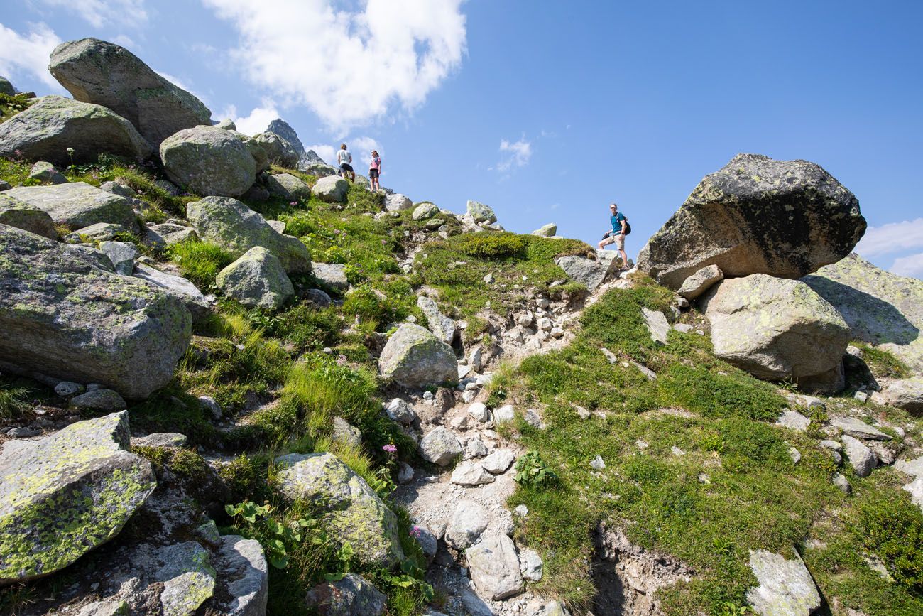
From the viewpoint, hike up this trail to continue up the ridgeline.
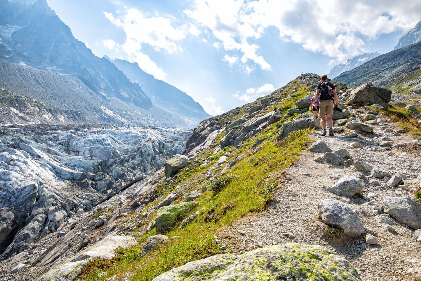
Trail along the ridgeline.
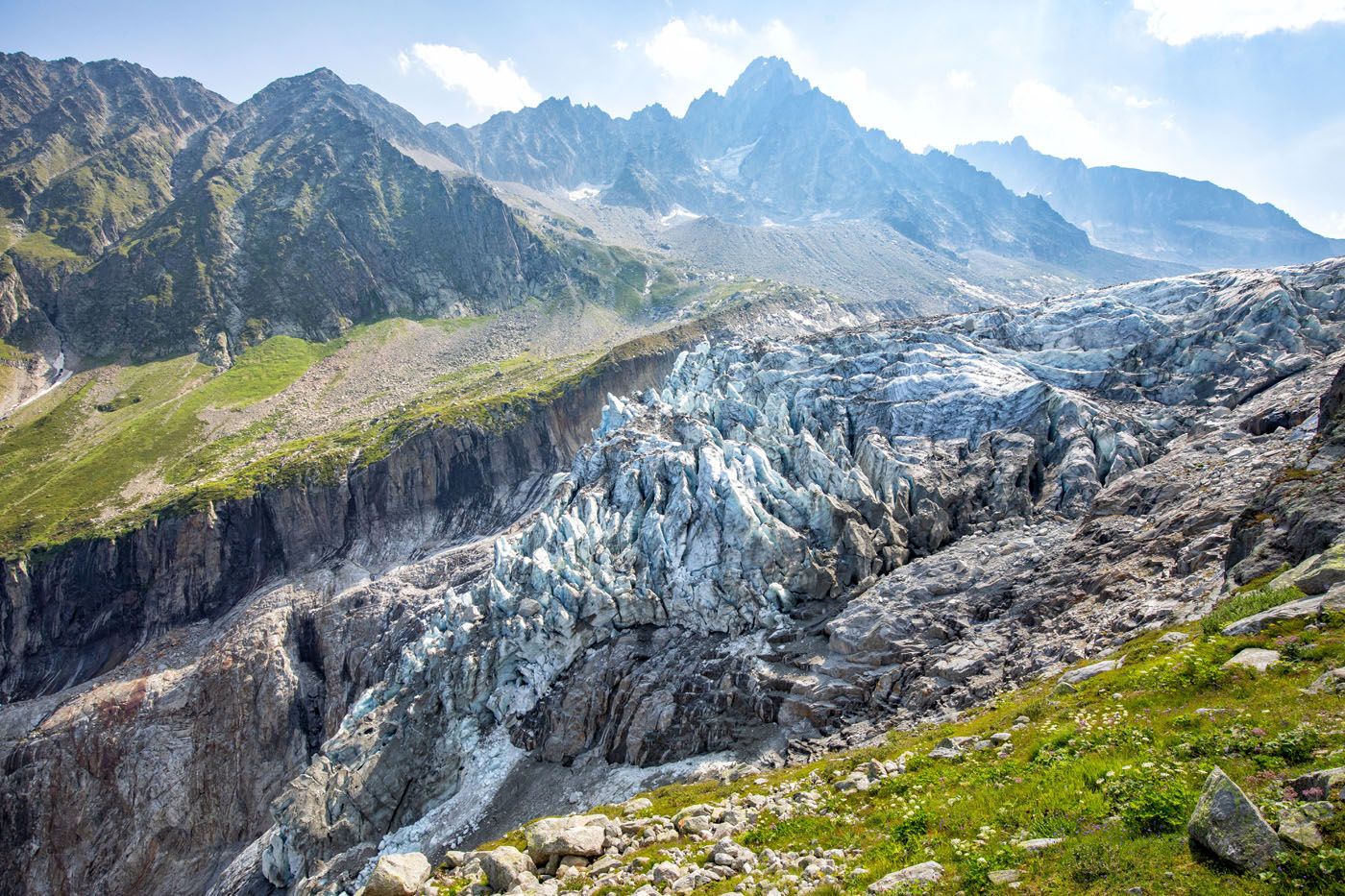
The view of the Argentière Glacier.
From the top you can see how large the glacier is as it stretches endlessly back towards distant mountains. The surface of the glacier is surprisingly flat but dotted with crevices.
Once you reach the trail sign in the photo below, you have a choice to make. It is a 10-minute walk to a higher viewpoint over Glacier d’Argentière or you can continue on the trail that runs closer to the glacier (the trail to Refuge d’Argentière).
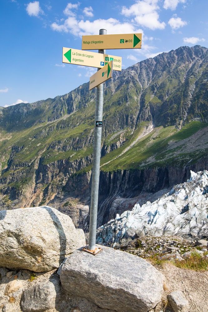
We chose the lower trail to Refuge d’Argentière. We only hiked along this section of trail for about 10 minutes, but you can continue walking next to the glacier for as long as you prefer.
If you do this, you are adding roughly 1 km (1.6 miles) out-and-back with 140 meters (460 feet) of total elevation gain.
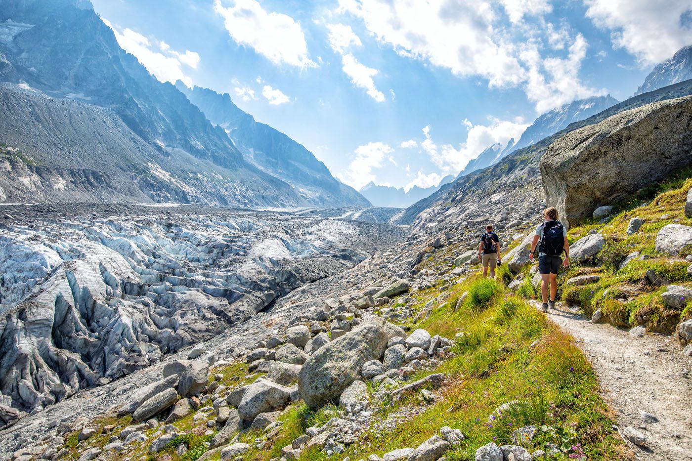
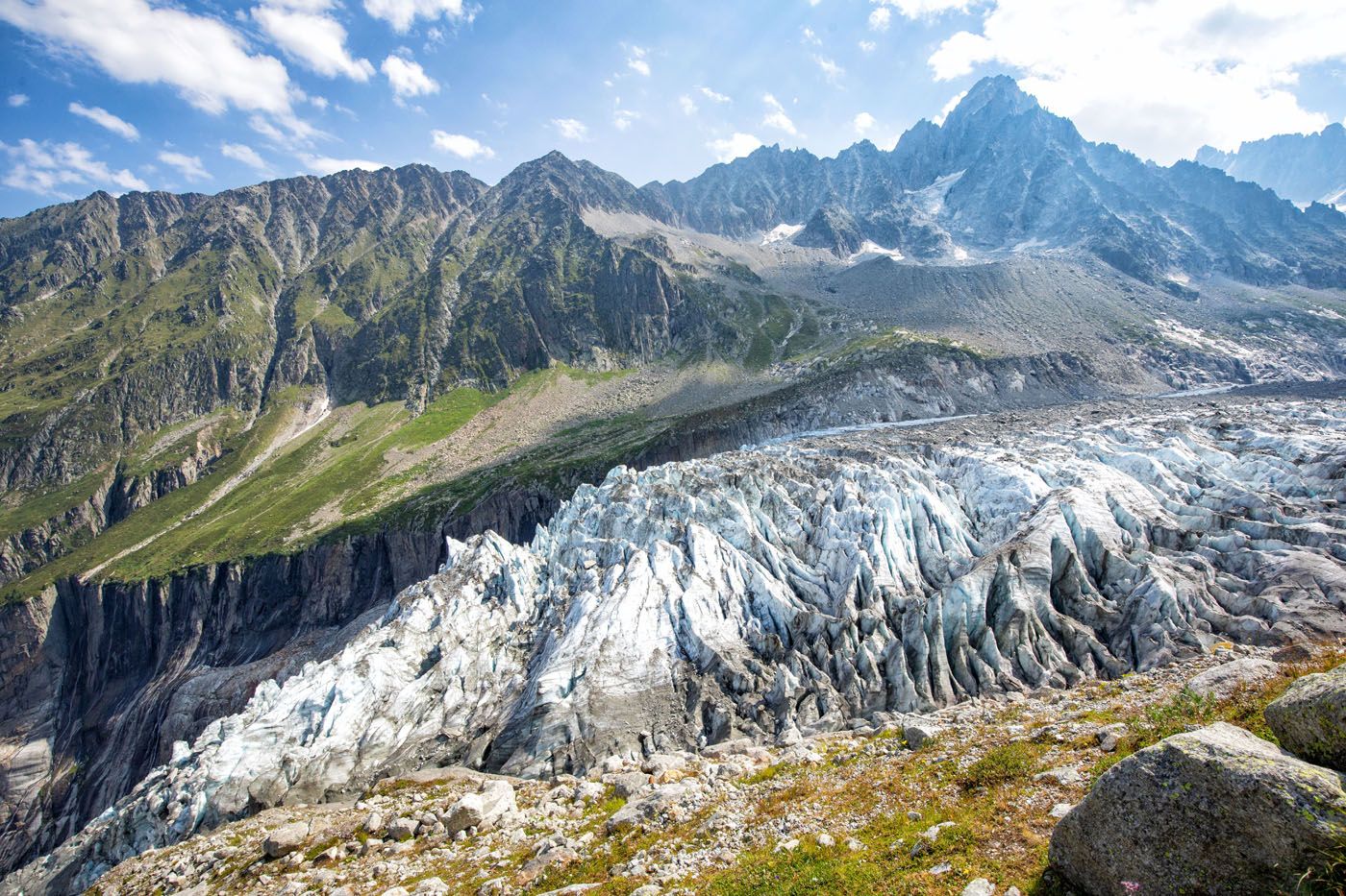
Glacier d’Argentière
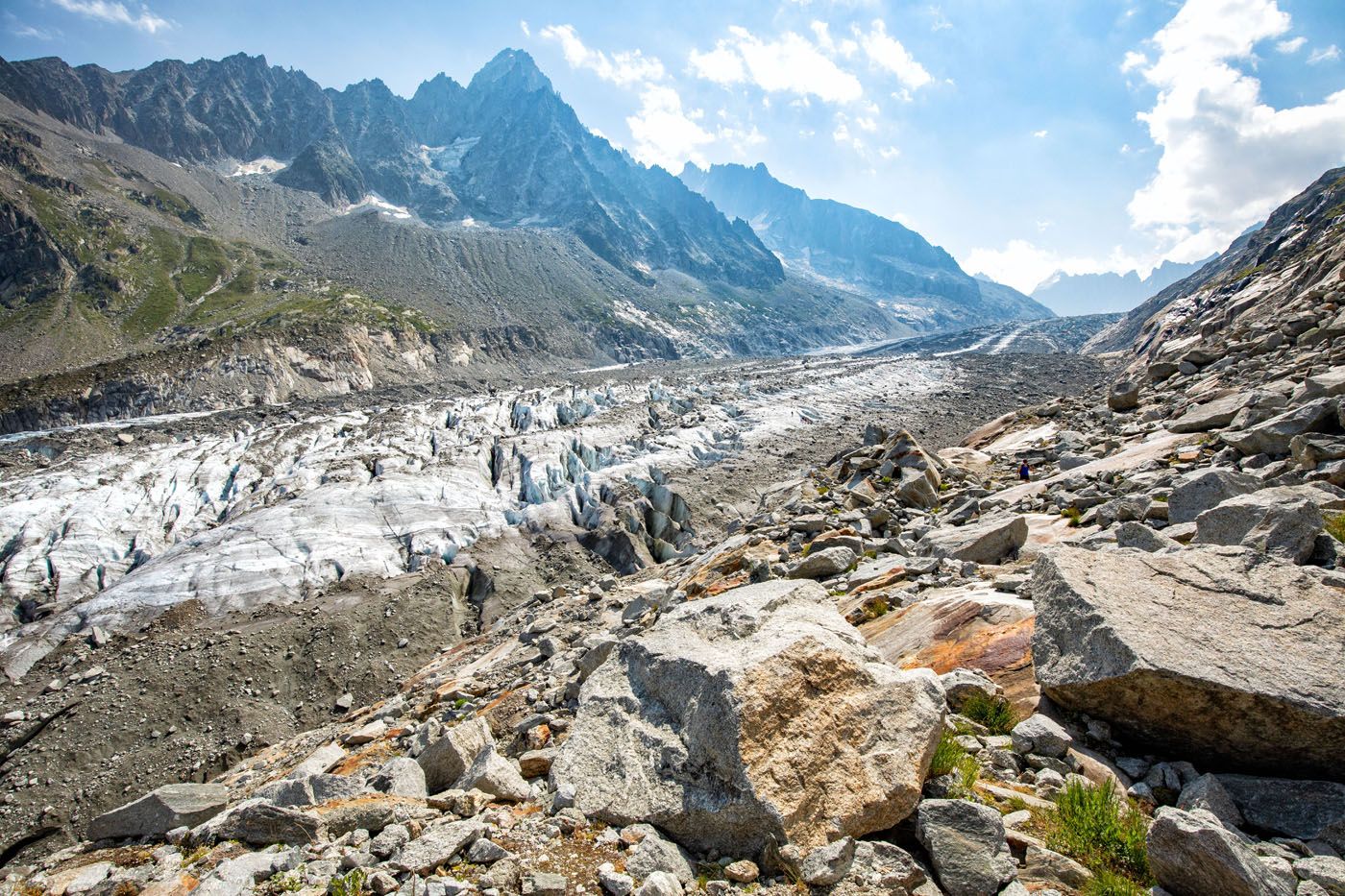
Once you are ready to turn around, backtrack the way you came. Then, you can either head to the Chalet Refuge de Lognan or return to the cable car.
Hike to Chalet Refuge de Lognan
As we headed back downhill, we followed signs for La Croix de Lognan, walking back on a gravel road rather than the narrower ridgeline hiking trail.
Farther down the road was a sign pointing to Chalet Refuge de Lognan and we followed this gravel road all the way to the refuge.
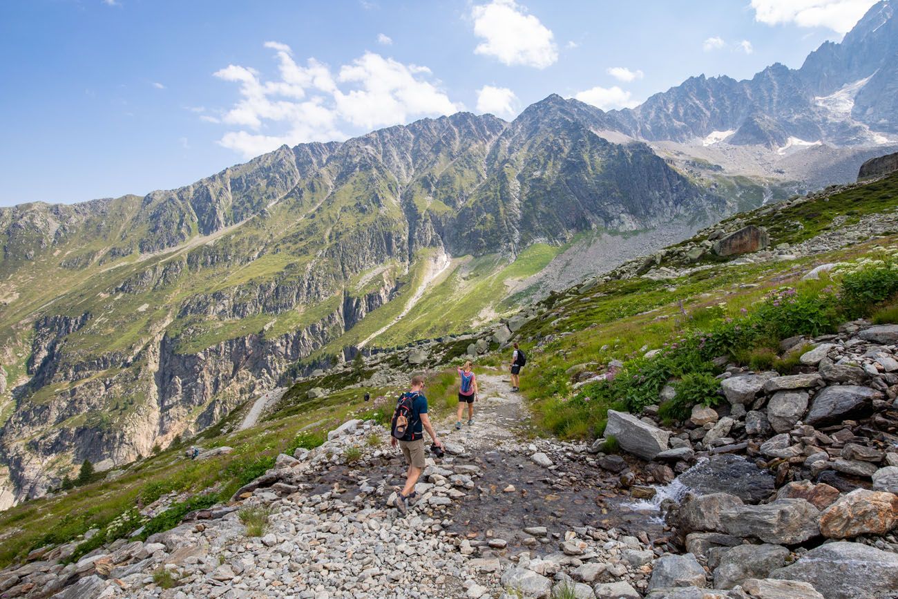
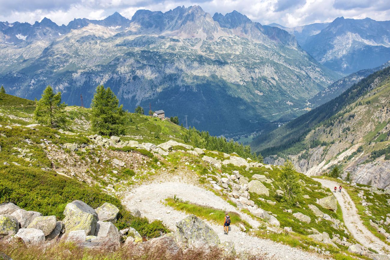
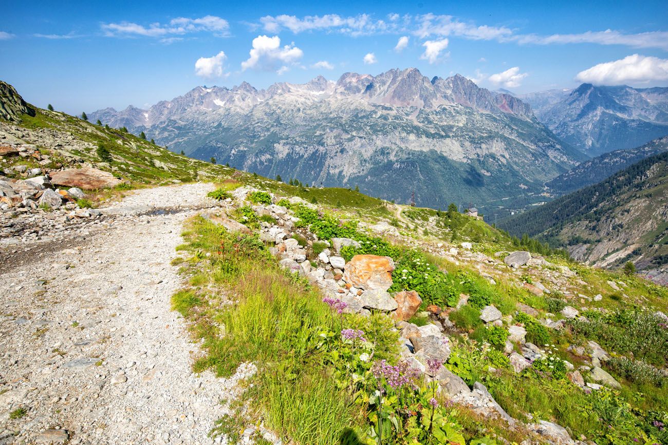
This part of the hike is well worth it. You get a lower view of the Argentière Glacier (la langue du glacier d’Argentiere on Google maps), and we thought it was one of the best of the day.
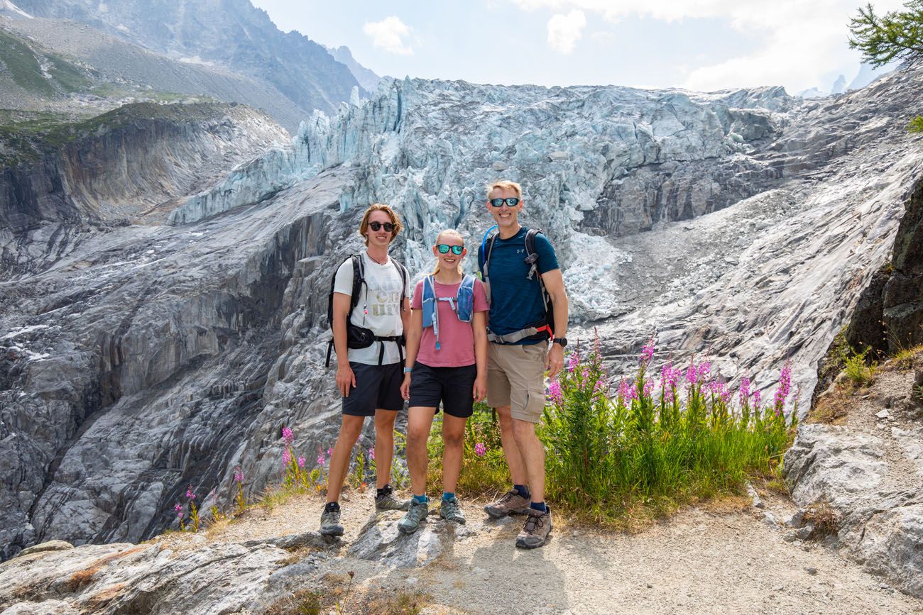
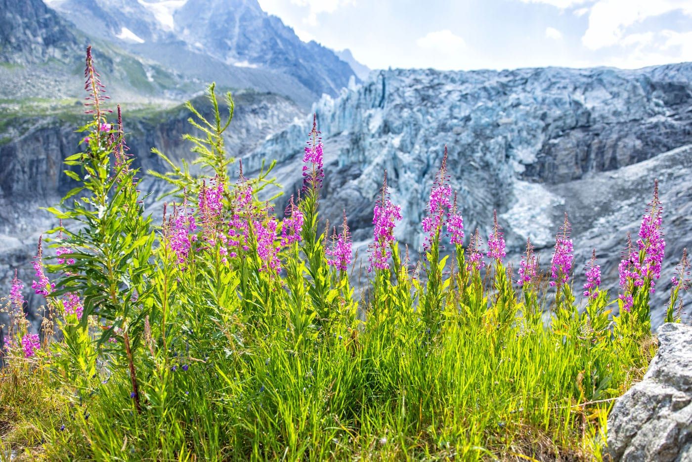
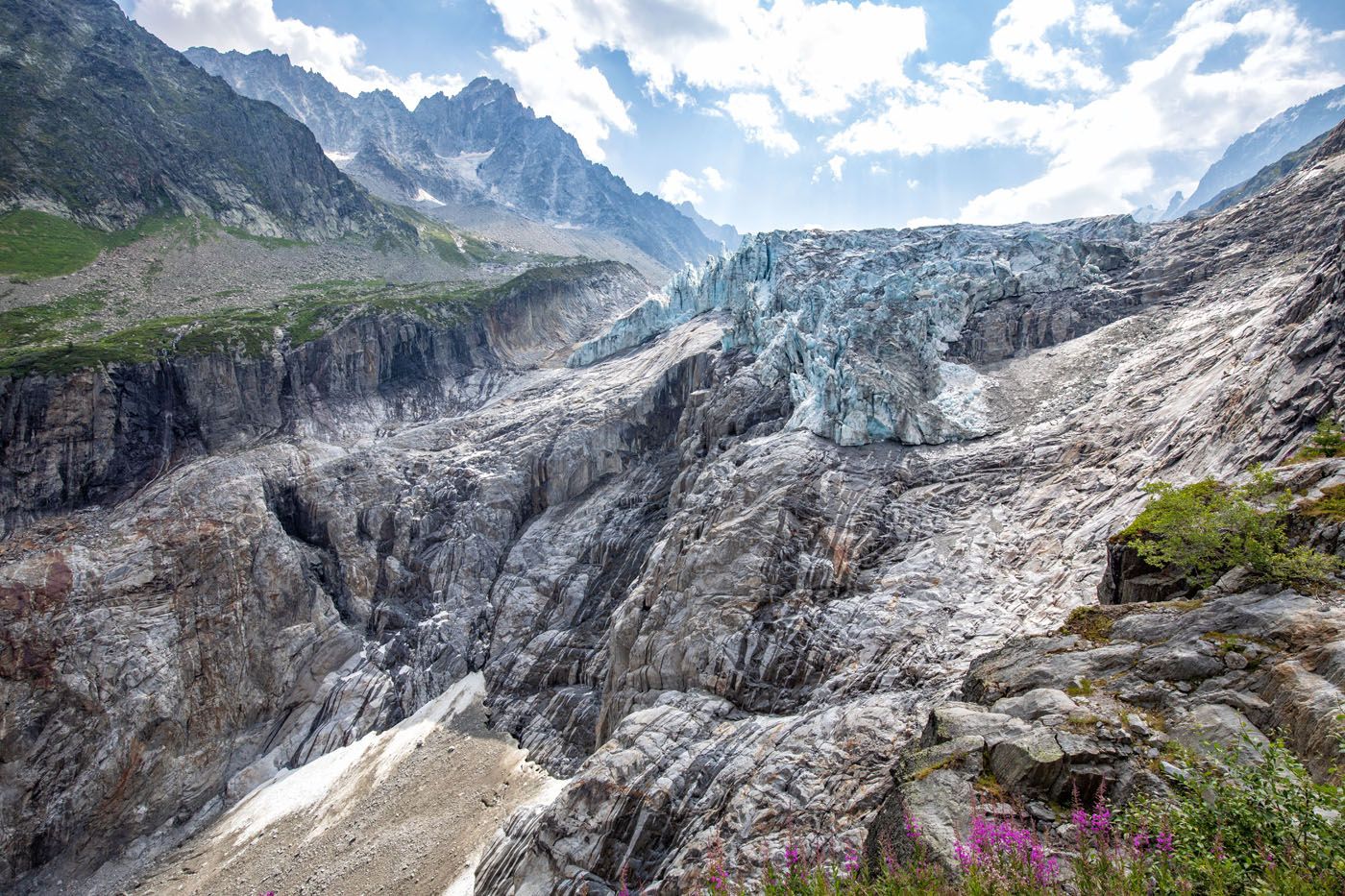
From this viewpoint, it is a 15-minute downhill walk (about 1 km/0.6 miles) on the gravel road to Chalet Refuge de Lognan.
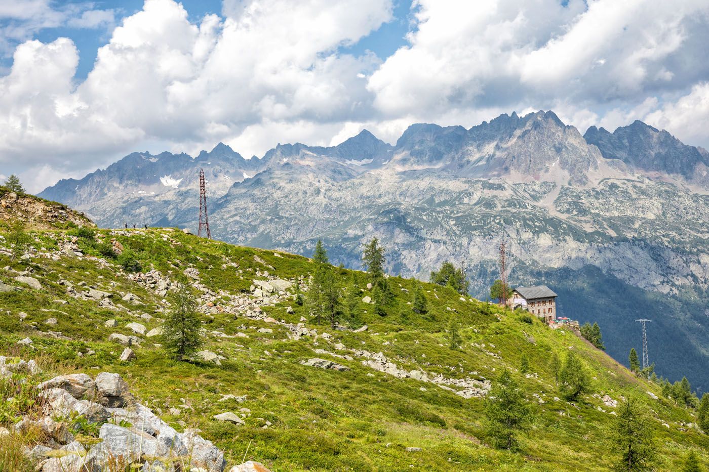
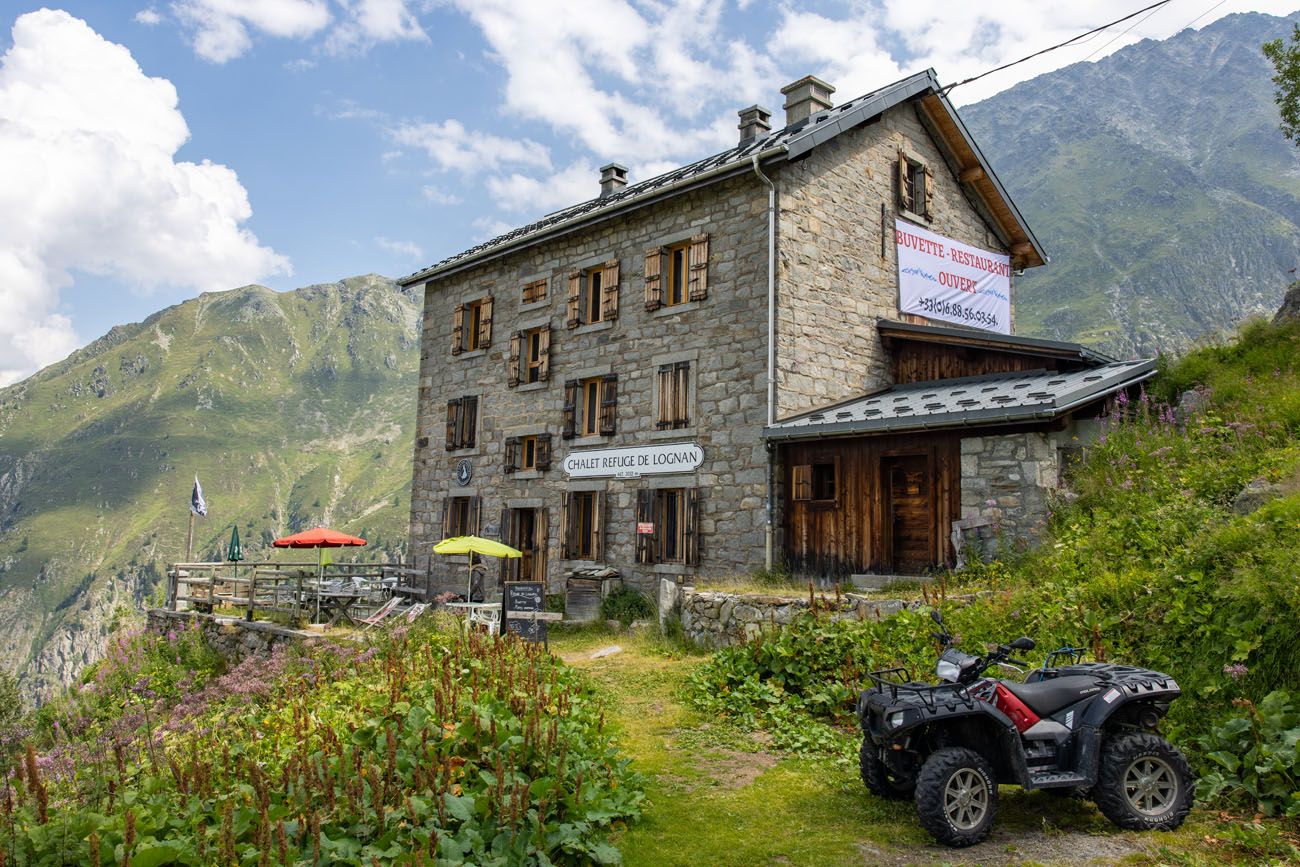
We enjoyed having a rest at this refuge. We ordered two beers and a meat and cheese platter. Delicious!
Return to the Joran Gondola
From the refuge, hike back up the gravel road and follow the trail signs towards La Croix de Lognan.
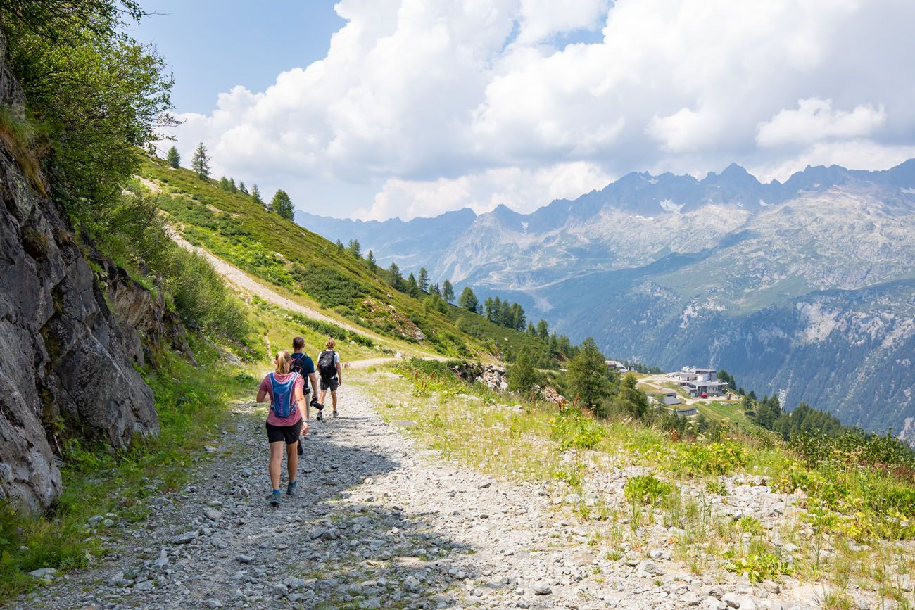
You will come to a trail split and when we did this, there was no trail sign here. If you go left, it is a beast of an uphill hike to get back onto the dirt trail you started on earlier in the day (this is what we did).
If you go right, it’s an easy walk down to the Lognan cable car station (note, this cable car should be opening in 2024, and once it is, this is the BEST way down the mountain). From the Lognan cable car station, it is an easier uphill walk to the Joran gondola, compared to what we did.
I recommend you go right at this trail split, unless you like the idea of an exhausting, steep, uphill hike. Once we were on the upper trail, we could look down on the route that connects the Lognan cable car with the Joran gondola and it looks like a much better way to go.
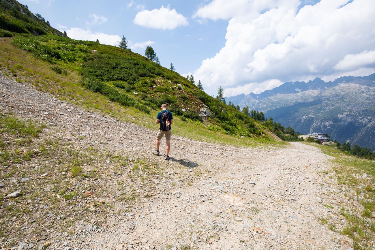
Tim is standing at the trail split. Stay right to continue to the Lognan cable car station. If you go left, it’s a steep uphill walk.
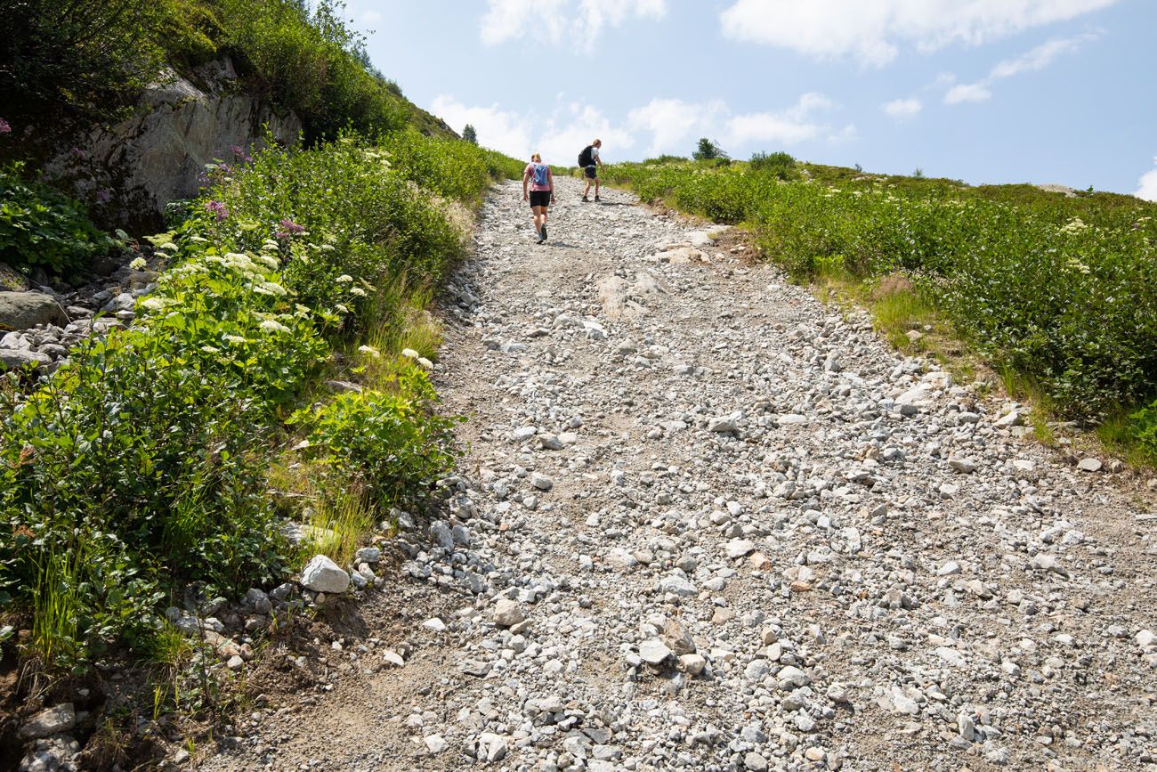
Here is the hill. It doesn’t look too bad in this photo but it is challenging!
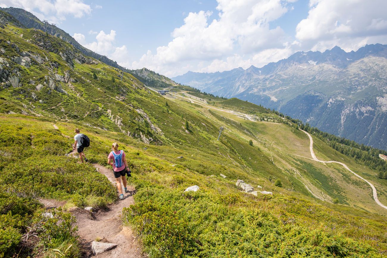
The Joran gondola station is off in the distance. On the right hand side of the photo is the wider, easier trail between the Lognan station and the Joran station.
Once at the Joran cable car, ride it to Argentière and then return to Chamonix (if that is where you are staying).
Hiking Route Modification
Once the Grand Montets cable car reopens, the ideal route is to take this, rather than the Joran gondola. From La Croix de Lognan (the upper cable car station), it will be a shorter hike and the extra amount of trail that you hike from Joran does not add any extra views that are worth the additional distance.
What to Bring on the Hike
Walking shoes or hiking shoes. I recommend wearing hiking shoes, since you will be hiking uphill and downhill on uneven surfaces.
Water. At least 1 liter of water per person. It’s not a long hike, but it can be warm in the summer, and it might be nice to have some cool water to drink during the hike.
Sunscreen, hat, and sunglasses. Most of the trail is fully exposed to the sun.
Essential Hiking Gear: What Should You Bring on a Day Hike?
If you are new to hiking or are curious about what you should bring on a hike, check out our Hiking Gear Guide. Find out what we carry in our day packs and what we wear on the trails.If you have any questions about how to hike to Glacier d’Argentière or if you want to share your experience, let us know in the comment section below.
More Information for Your Trip to Chamonix

Comments 2