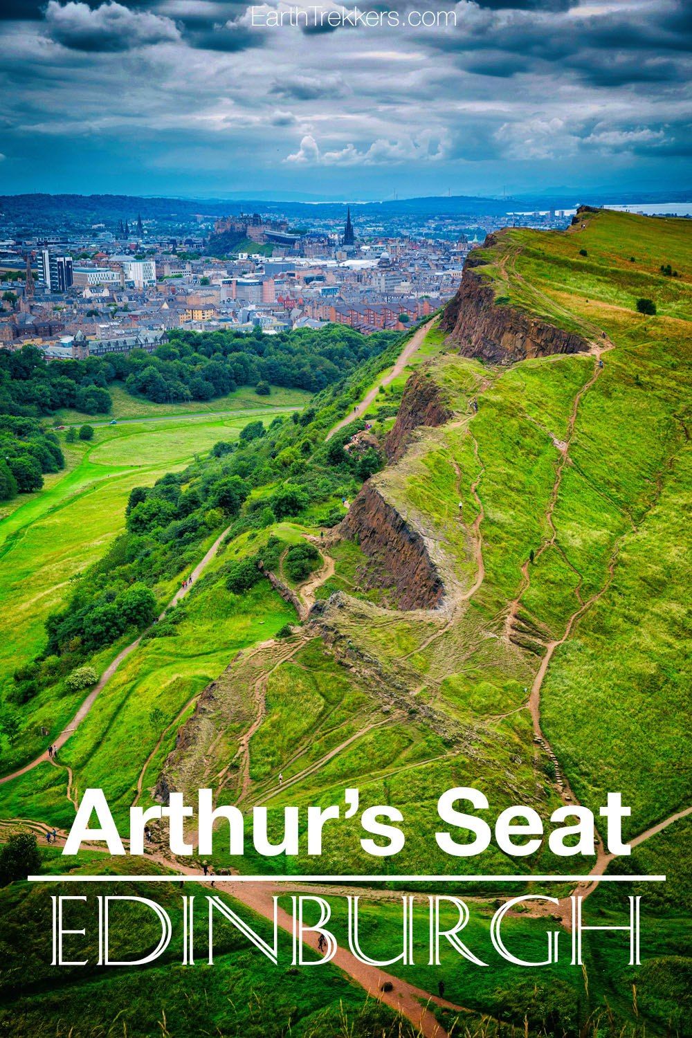
Arthur’s Seat…a jagged, grassy prominence rising up from the urban sprawl of Edinburgh, offers one of the best views of the city. It’s a short, slightly strenuous hike to the highest point, but absolutely worth it to look out over Edinburgh from this vantage point.
There are several different ways to hike to Arthur’s Seat which we share with you in this guide.
What is Arthur’s Seat?
Arthur’s Seat is located in Holyrood Park, at the end of the Royal Mile. This large, grass covered hill is the remains of an extinct volcano that erupted 350 million years ago.
Arthur’s Seat is the highest point of this extinct volcano.
Although the origin of the name is uncertain, some claim that there is a connection between Edinburgh and King Arthur. Arthur’s Seat may have been the location of legendary Camelot.
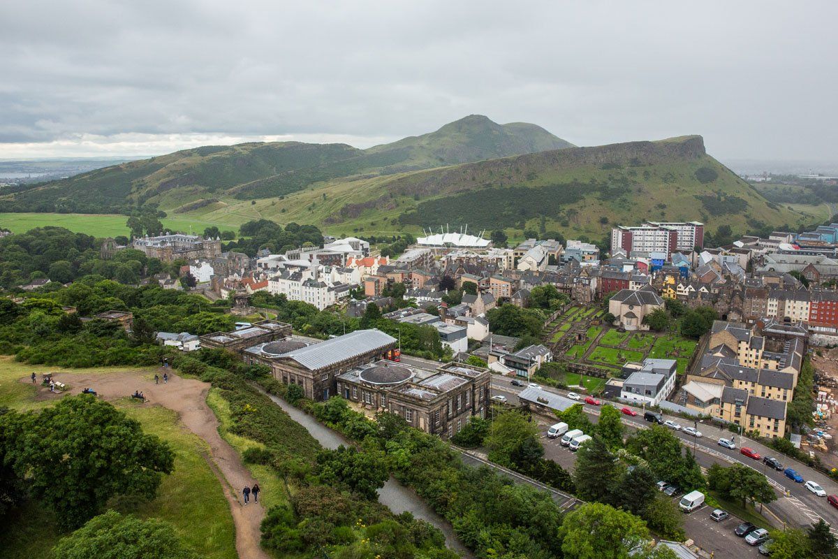
View of Arthur’s Seat from Calton Hill
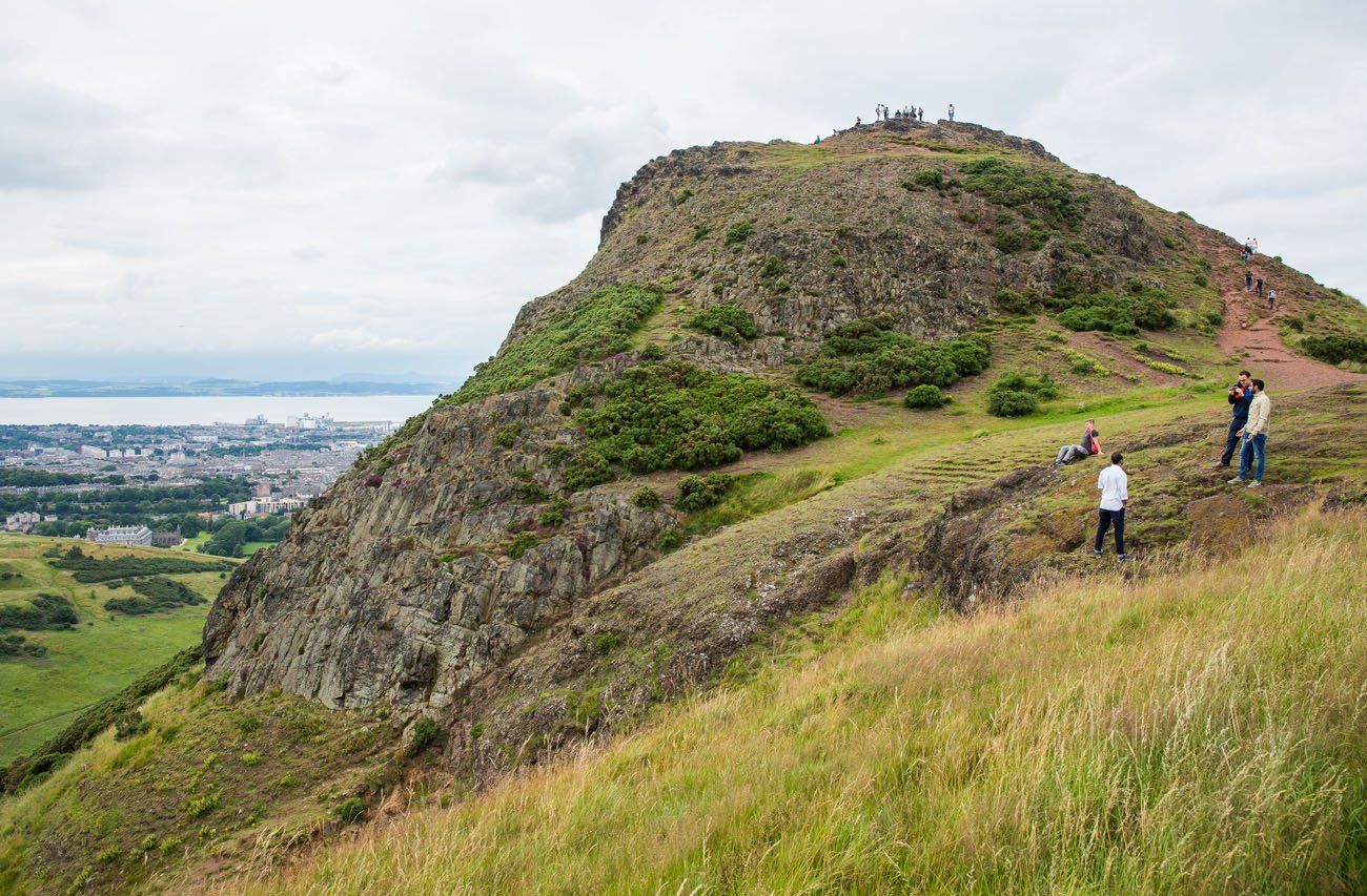
Arthur’s Seat, the highest point in Holyrood Park
How to Hike Arthur’s Seat
There are several options for reaching the summit. For an easy walk with views out over the best of Edinburgh, walk the Salisbury Crags. For more dramatic, panoramic views of the city (and a slightly strenuous hike) climb to Arthur’s Seat.
Below is a color-coded map to help explain the trails in Holyrood Park.
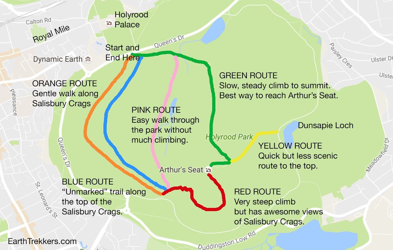
Below is a map of the walking routes on Google Maps. You can save this to your Google account and follow the map while in Edinburgh. The only route that is not indicated on the map is the blue route, which is the hiking trail along the top cliffs of the Salisbury crags.
How to Use This Map: Click the tab in the top left corner of the map to see a list of the points of interest and to turn layers on/off. Click the icons on the map to get more information about each point of interest.
To take this map with you, click the star next to the title of the map which adds it to your Google account. Next, within your Google Maps app, select ‘Saved’ and then select ‘Maps’. This map title will now appear in your list.
Best Route to Arthur’s Seat
Follow this route to experience the best of the park, hike to the summit, and then return via the Salisbury Crags.
Start near Holyrood Palace. If you have a car, park in the car park next to Queen’s Drive, just next to Holyrood Palace. Or walk or take a taxi to this same spot.
Facing the Salisbury Crags, you will see two trailheads. Take the trail to the left (the Green Route) to ascend Arthur’s Peak. After a few minutes of walking, the trail will fork. Take the trail to the left to continue the climb to Arthur’s Seat.
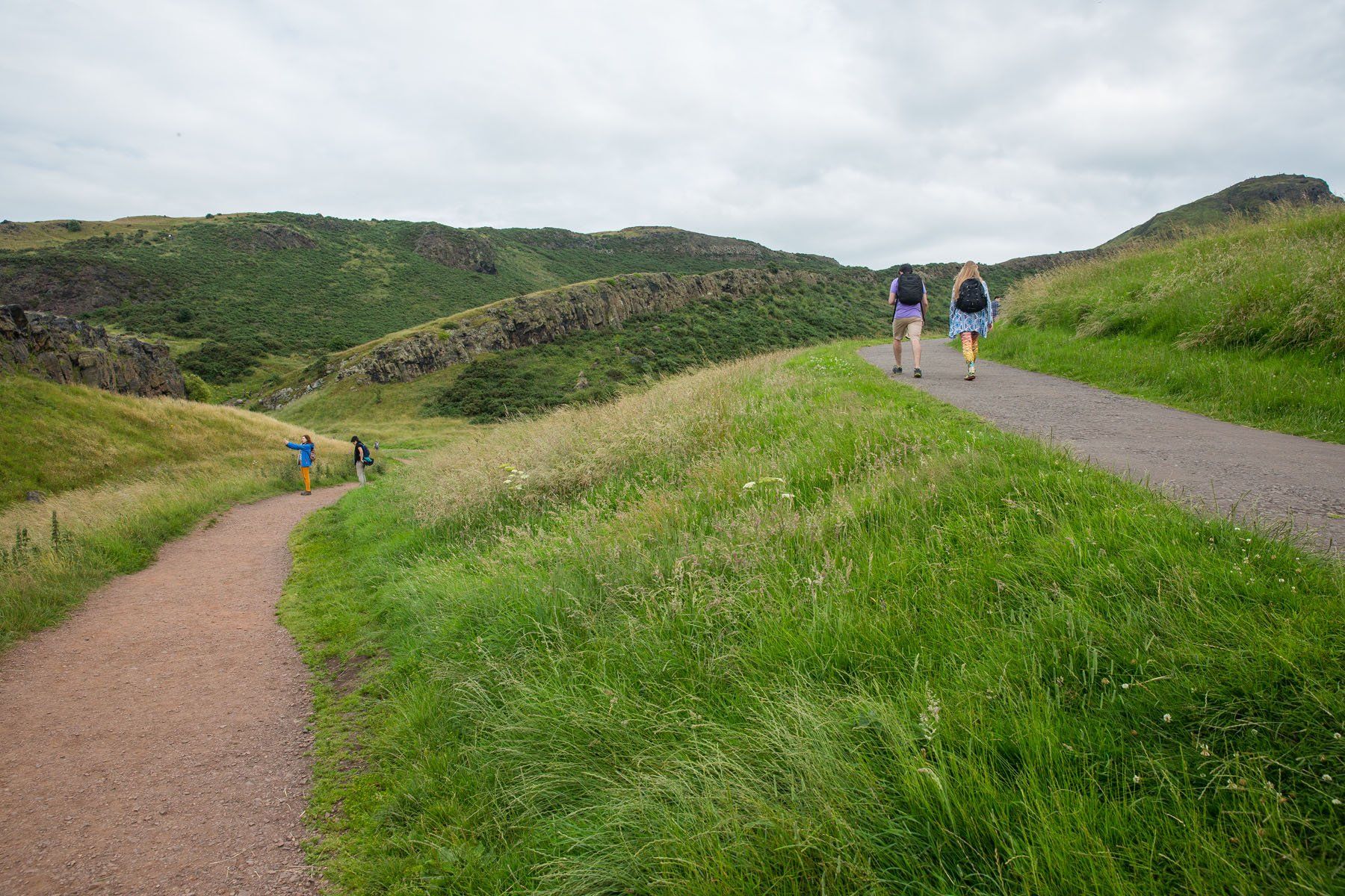
Take the trail on the left to get to Arthur’s Seat. It descends a bit before climbing up to the highest point. The paved trail to the right is an easy walk through the park (the pink route on our map).
The path becomes a dirt, singletrack trail to the peak of Arthur’s Seat. It is a steady, gradual climb and not overly strenuous. Anyone of reasonable fitness, kids included, should be able to do this.
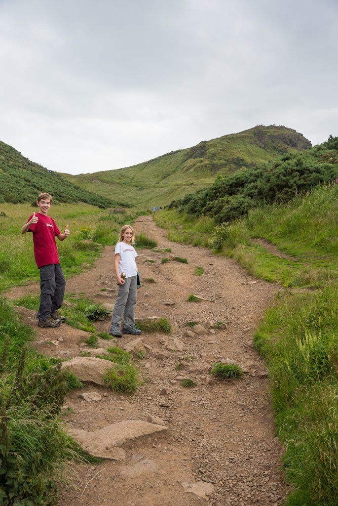
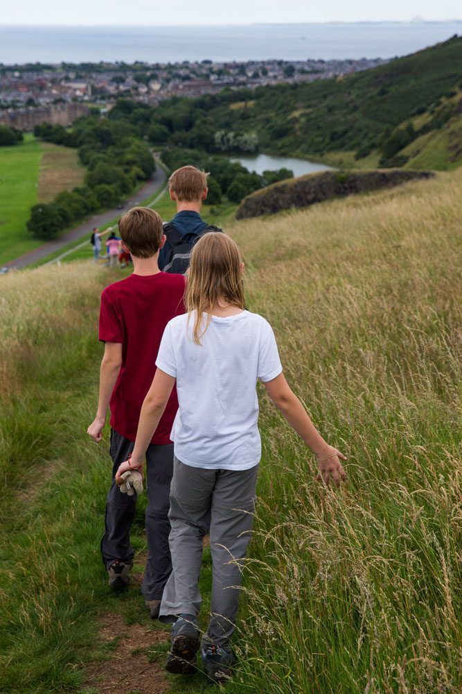
Tyler and Kara on the trail. You can see Arthur’s Seat in the distance.
If you are like us, you can have your youngest carry your backpack to the top. 😊
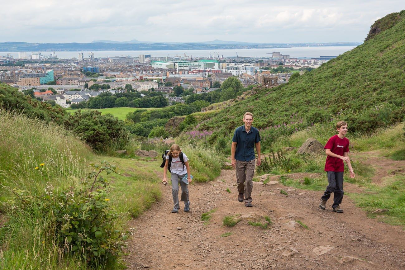
It takes between 30 to 60 minutes to reach the peak on this route.
View From Arthur’s Seat
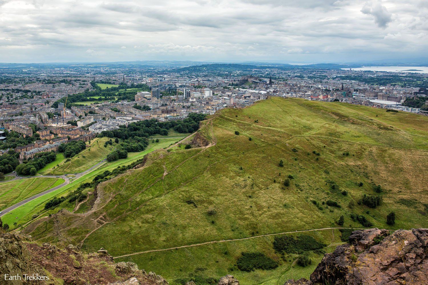
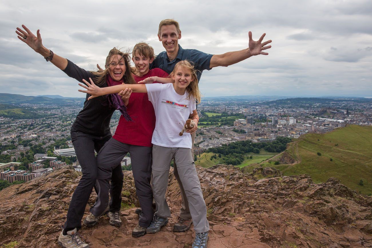
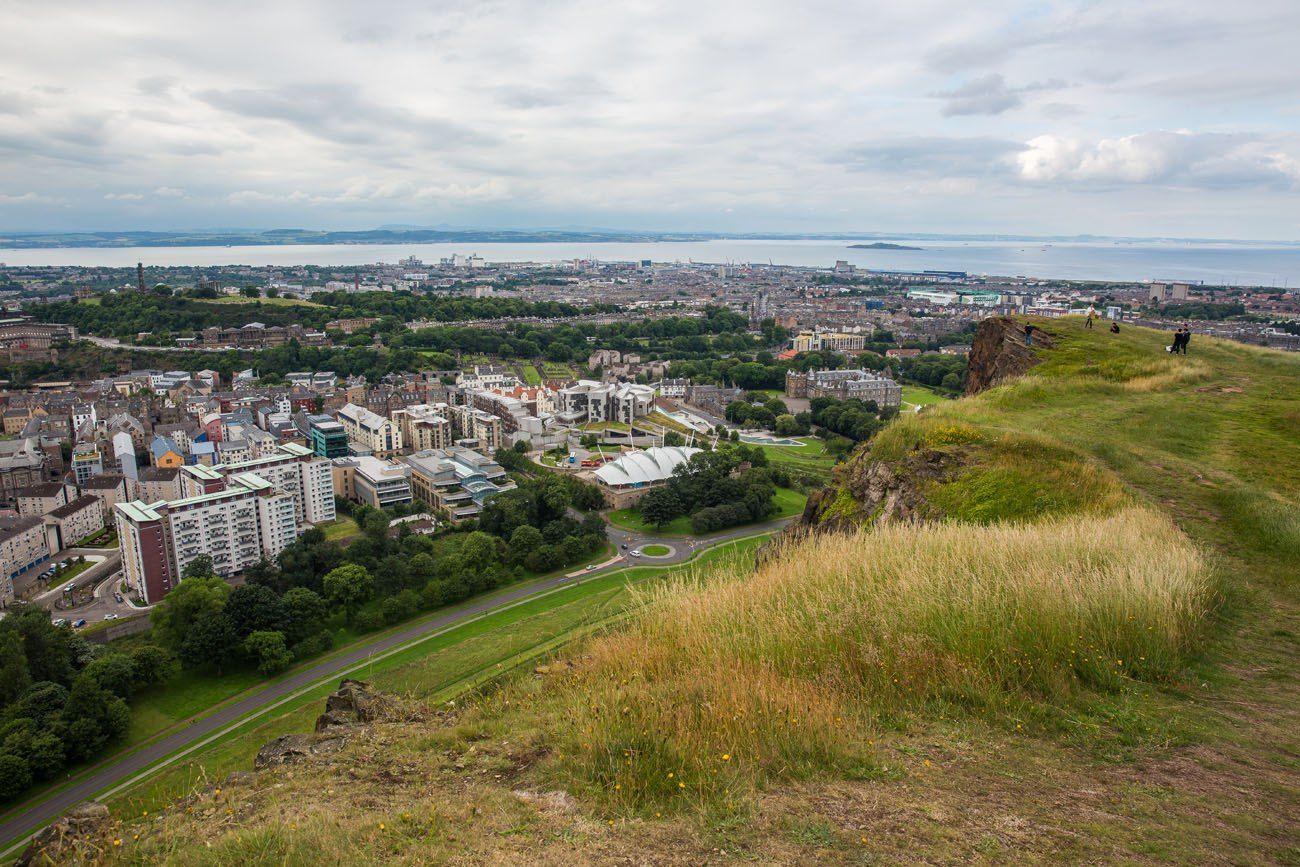
The views from Arthur’s Seat are phenomenal. You will have 360° views of the city. A mile away, sitting on the remains of another extinct volcano, is Edinburgh Castle.
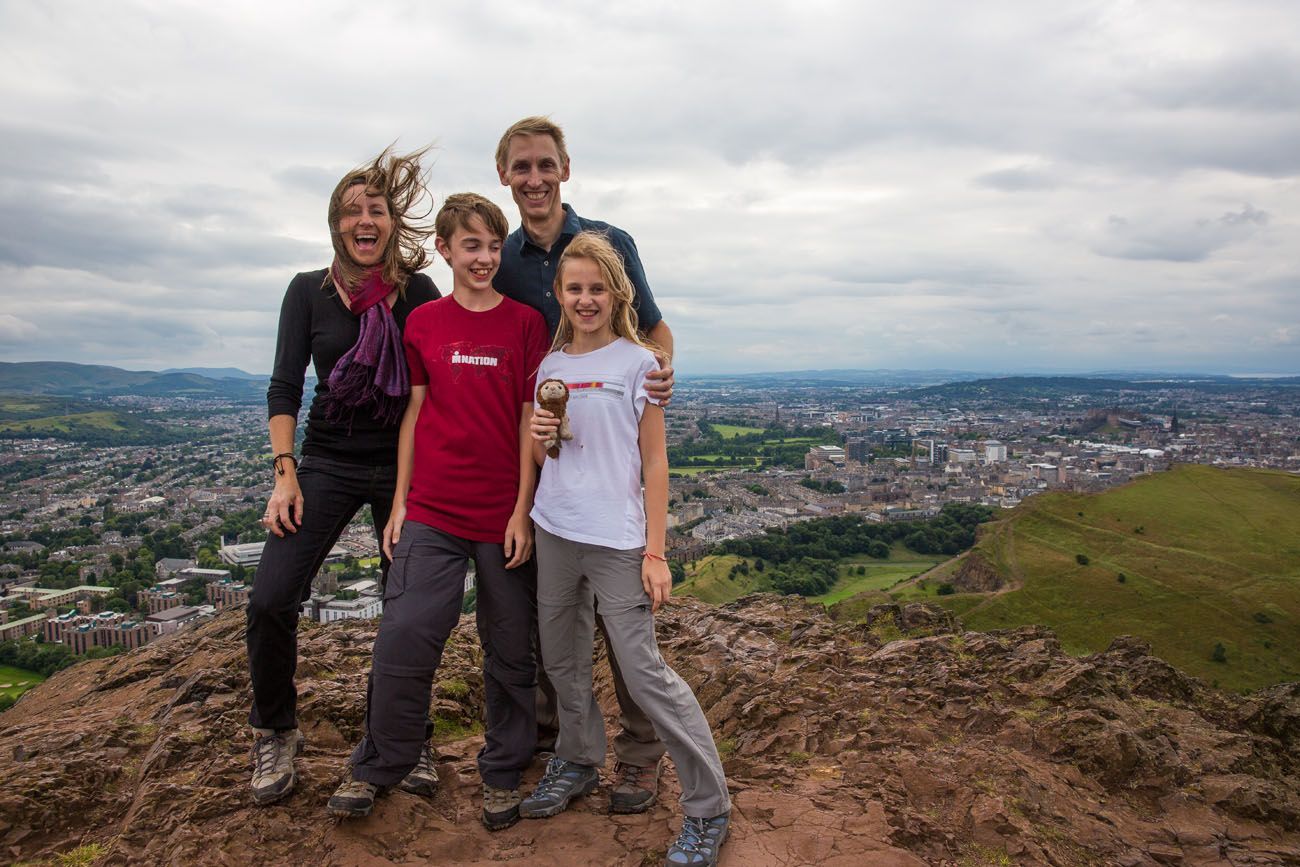
It is very, very windy at the top. Our attempt to take a nice, family photo turned into a goofy, somewhat hilarious photo session.
From Arthur’s Seat, you have several options to continue your journey. Retrace your steps, walking back to Holyrood Palace. Or walk down the very steep trail to get to the Salisbury Crags (red route). This is what we did. There are a few tricky spots, but if you take your time, it is not too difficult.
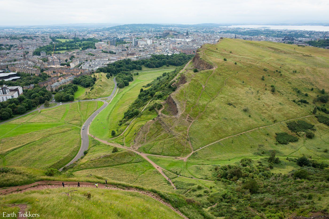
View down from Arthur’s Seat
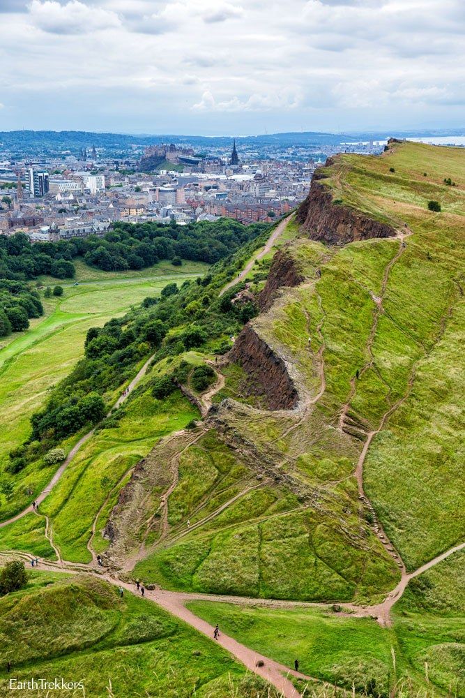
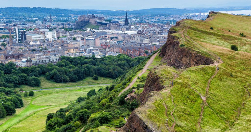
Salisbury Crags with the Edinburgh Castle off in the distance.
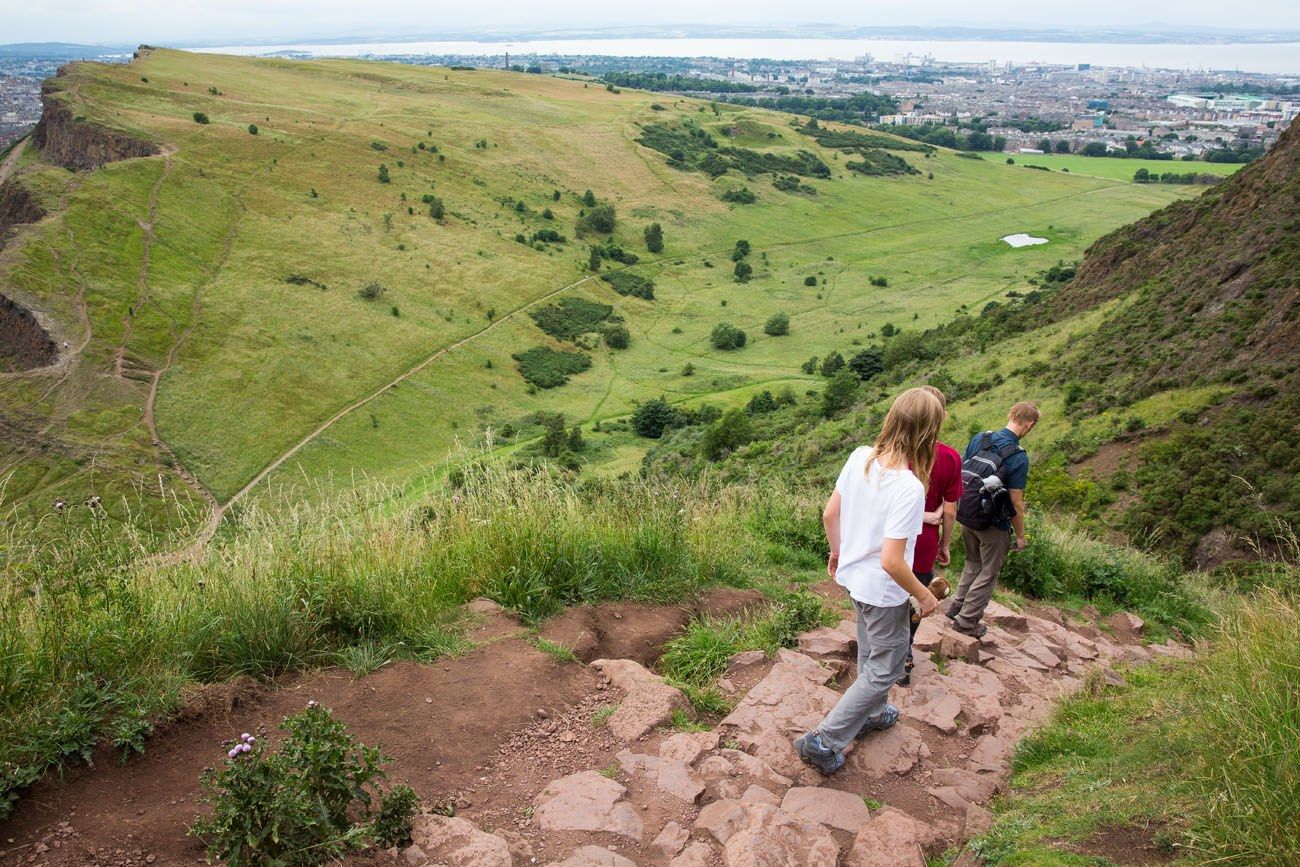
The steep trail down the hillside is a combination of dirt paths and stone steps.
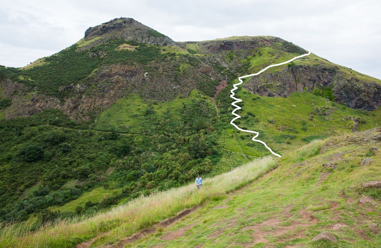
This is the view looking back at the steep trail leading to Arthur’s Seat.
Once at the bottom, you can walk the wide, paved trail along the Salisbury Crags back to the starting point (orange route).
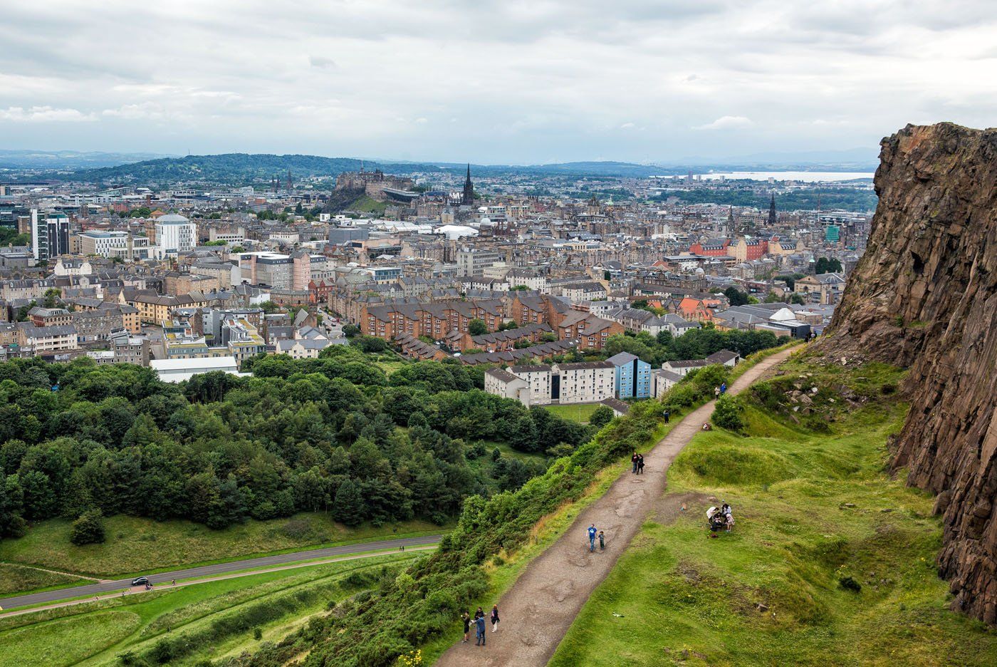
If you want better views, and do not mind more hiking, follow the slightly sketchy, dirt trail along the spine of the Salisbury Crags (the blue route). The views from here are just as good as from Arthur’s Seat. Just do not get too close to the edge. This route takes you along the edge of vertical cliffs. Stick to the trail and you will be fine.
The Easier (but less scenic) Option to Arthur’s Seat
It is possible to drive a portion of the climb. Drive your car (or take a taxi) to Dunsapie Loch and follow the trail to summit (the Yellow Route). This way is less scenic than hiking from Holyrood Palace.
The Least Strenuous Option in Holyrood Park
If you want to enjoy great views of Edinburgh without climbing up to Arthur’s Seat, walk the Salisbury Crags. From Queen’s Street, take the trailhead on the right for the trail along the Salisbury Crags (orange route). From the other side, you can return on the same trail or follow the pink route through the park for different views.
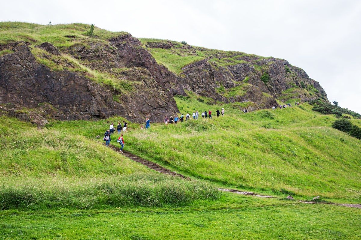
Trail from Queen’s Street leading to the Salisbury Crags
Or, if you want to climb Arthur’s Seat, follow the very steep trail to the top (red route). This is the most difficult route to the summit but some say the most scenic.
Helpful Tips for Visiting Arthur’s Seat
Allow two the three hours for your visit.
Holyrood Park is always open and it is free to visit.
Hiking shoes are not necessary, but if you plan on walking up to the summit, you will need to be wearing a good pair of walking shoes. You will be walking on dirt and stone trails with uneven footing.
Bring water and a snack. A picnic lunch would be nice, too!
It is very windy at the top. Even during the summer months, bring a jacket.
Yes, you can visit Arthur’s Seat in the rain, but a clear day would be ideal.
If you have any questions about Arthur’s Seat, or if you would like to share your experience, let us know in the comment section below.
More Information about Scotland


Comments 42