Where can you go to find that perfect day hike? The hike that leaves you breathless as you climb the summit of the mountain. The hike with the awe-inspiring views. The hike that is so enjoyable because the terrain and its views are always changing. The hike that has you saying “Wow!” over and over again. The hike that looks great in photos but is even better once you are actually there. The hike that you hope to do again someday. Here is our list of the best day hikes in the world.
Some are short, some are long, all of them are amazing. And all of these hikes take just a single day of your time.
The Best Day Hikes in the World
How to Use This Map: Click the icons on the map to get more information about each point of interest. To take this map with you, click the star next to the title of the map which adds it to your Google account. Next, within your Google Maps app, select ‘Saved’ and then select ‘Maps’. This map title will now appear in your list.
1. The Zion Narrows
Location: Zion National Park
Distance: 25.7 km (16 miles) for the top-down route; 3 to 19 km (2 to 12 miles) for the bottom-up route | Difficulty: Moderate to Strenuous | Time: Up to 13 hours
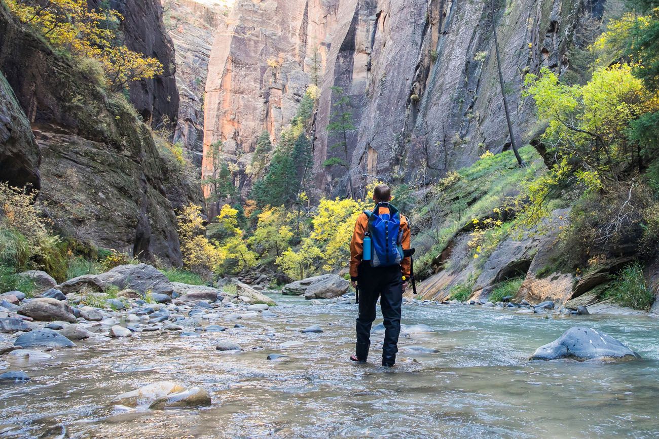
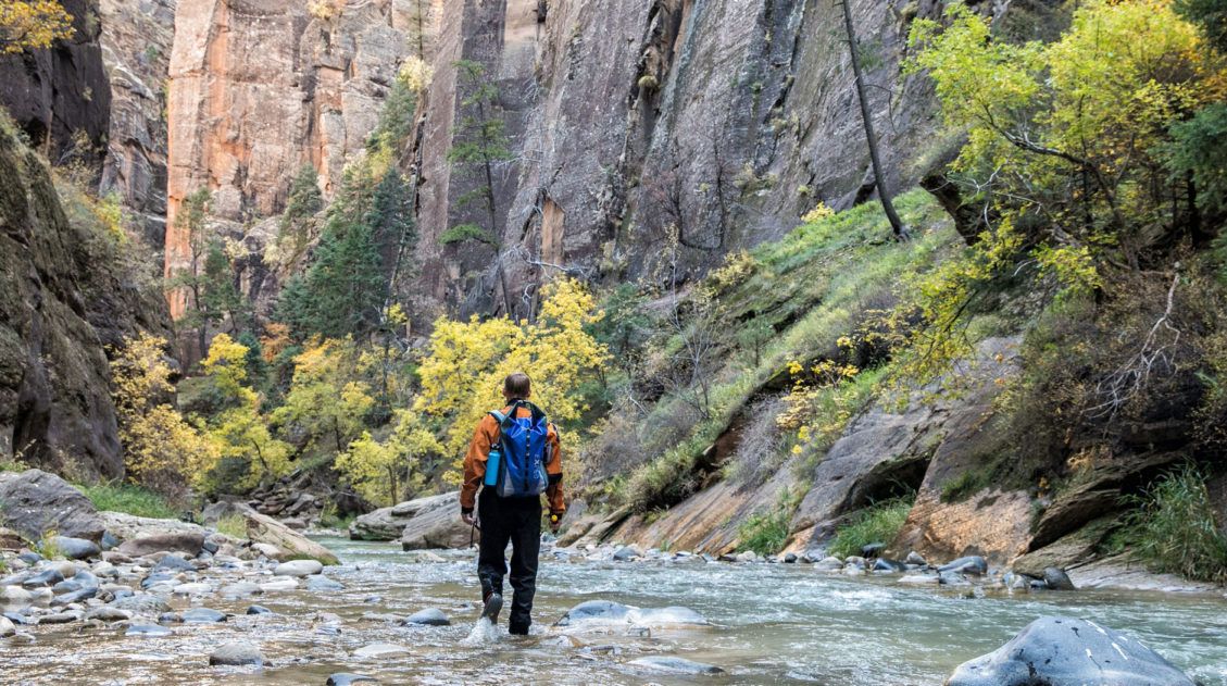
The Zion Narrows
The Narrows is one of Zion’s most popular hikes, for good reason. This is the quintessential slot canyon hike. For miles, you hike in the North Fork of the Virgin River, surrounded by sheer rock walls and amazing beauty. It’s challenging, it’s unique, and it makes for a very memorable experience.
There are two different ways you can hike the Narrows as a day hike. The most popular way to hike the Narrows is from the bottom-up since you do not need a permit and you simply hike as far as you want to go. For an epic hiking experience, you can hike the entire Narrows from the top-down, a 16 mile unforgettable journey.
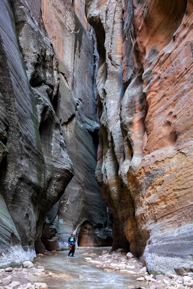
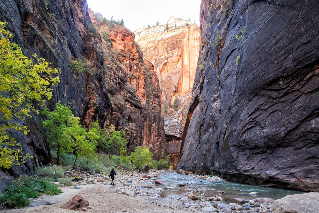
Zion Narrows Top-Down Route: Stats, Map & How to Do It
The complete guide to the top-down route of the Zion Narrows.2. Trolltunga
Location: Norway
Distance: 28 km (17.4 miles) | Difficulty: Strenuous | Time: 10 to 12 hours
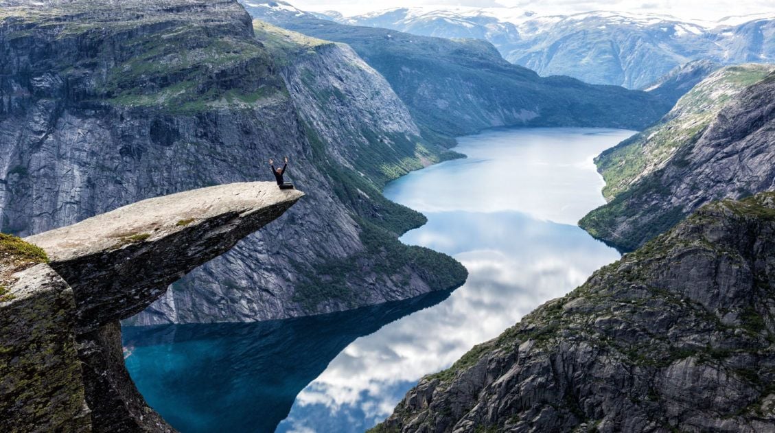
Trolltunga is one of Norway’s most popular hikes for good reason. It is an incredibly scenic hike, ending at the Troll’s tongue, a thin sliver of rock perfect for creative photographs. This is definitely a hike to add to your bucket list.
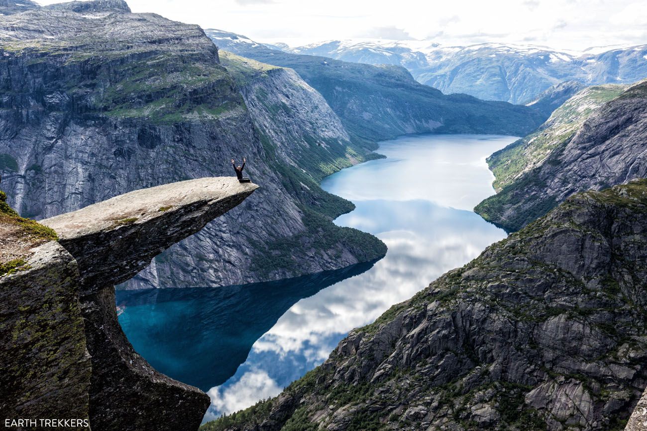
Trolltunga
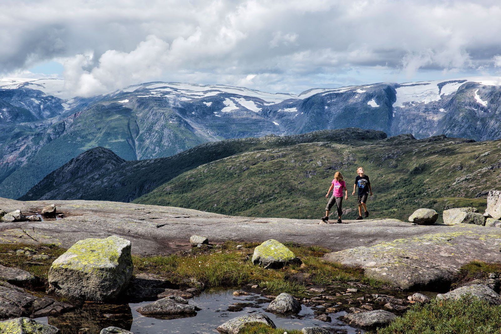
When traveling through Norway, getting to Trolltunga is a little out of the way, but if you are looking for an epic hike, this is worth the drive. It’s one of our absolute favorites. Posing on Trolltunga is a memorable moment, but the entire hike is stunning.
How to Hike Trolltunga: A Step-By-Step Trail Guide
Everything you need to know to hike Trolltunga, including how to get here, trail stats, and photos of the trail.3. Angels Landing
Location: Zion National Park
Distance: 9 km (5.4 miles) | Difficulty: Strenuous | Time: 3 to 5 hours
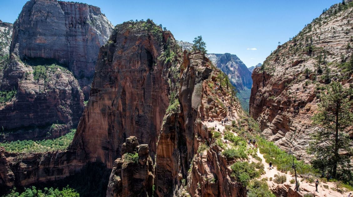
Angels Landing
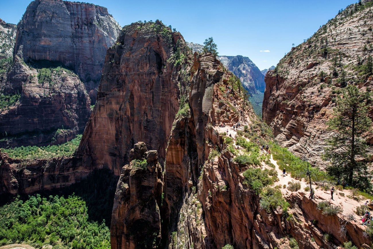
Angels Landing draws thrill-seekers from all around the world. With chain-assisted rock scrambling sections, stunning views, and vertigo-inducing heights, this is an exhilarating hike.
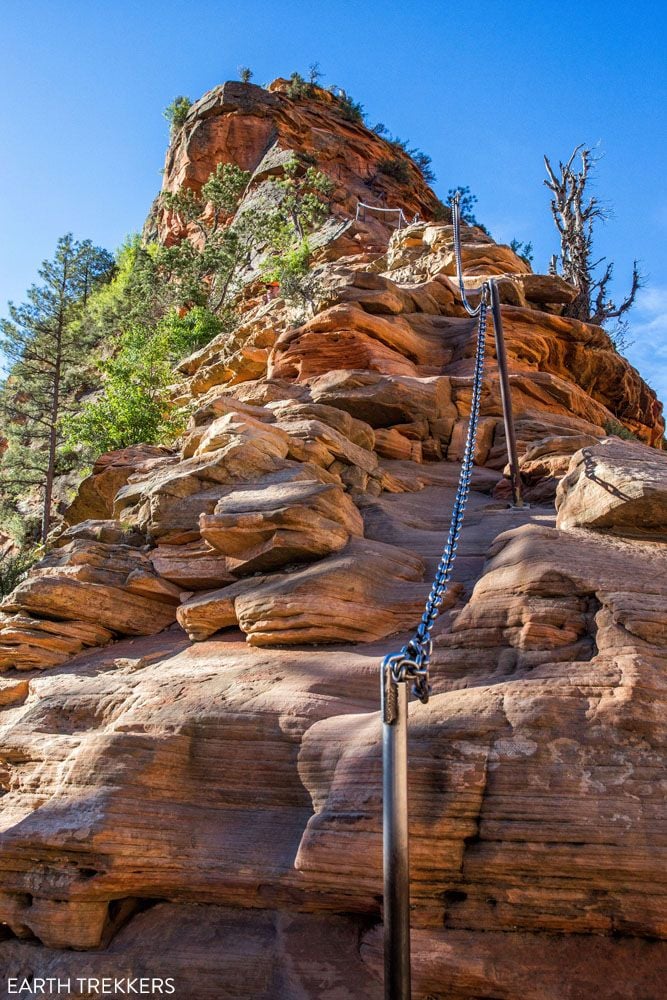
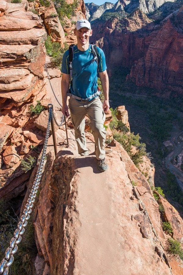
The final half-mile to the top of Angels Landing is along a narrow spine of rock, with 1000 foot drop-offs on either side. Not for the faint of heart, this is definitely a bucket list hike.
How to Hike Angels Landing: Trail Guide & Video
What to expect on the Angels Landing hike plus how to get a permit.4. Inca Trail, Machu Picchu
Location: Peru
Distance: 15 km (9.3 miles) for the one day hike | Difficulty: Moderate | Time: 5 to 7 hours
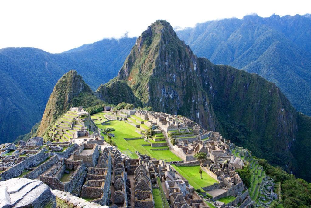
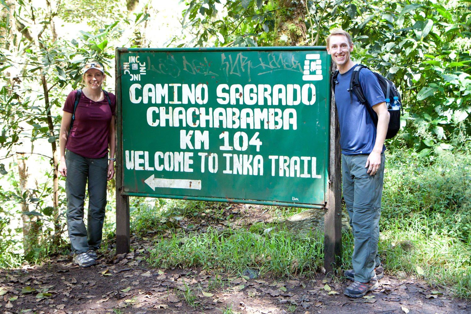
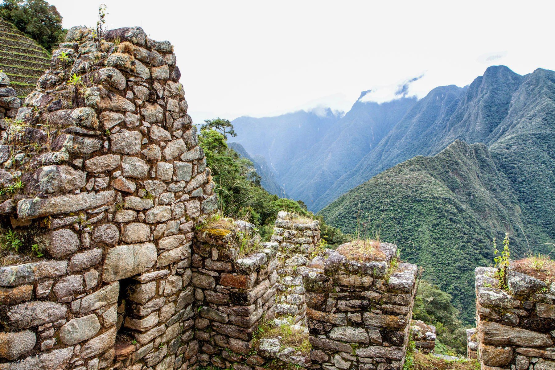
The one day hike to Machu Picchu is an awesome alternative to the very popular four day trek for those who do not have time in their schedule or for those with no desire to do a multi-day hike. A lot of people bash the one day hike, saying it’s just not worth it. We totally disagree.
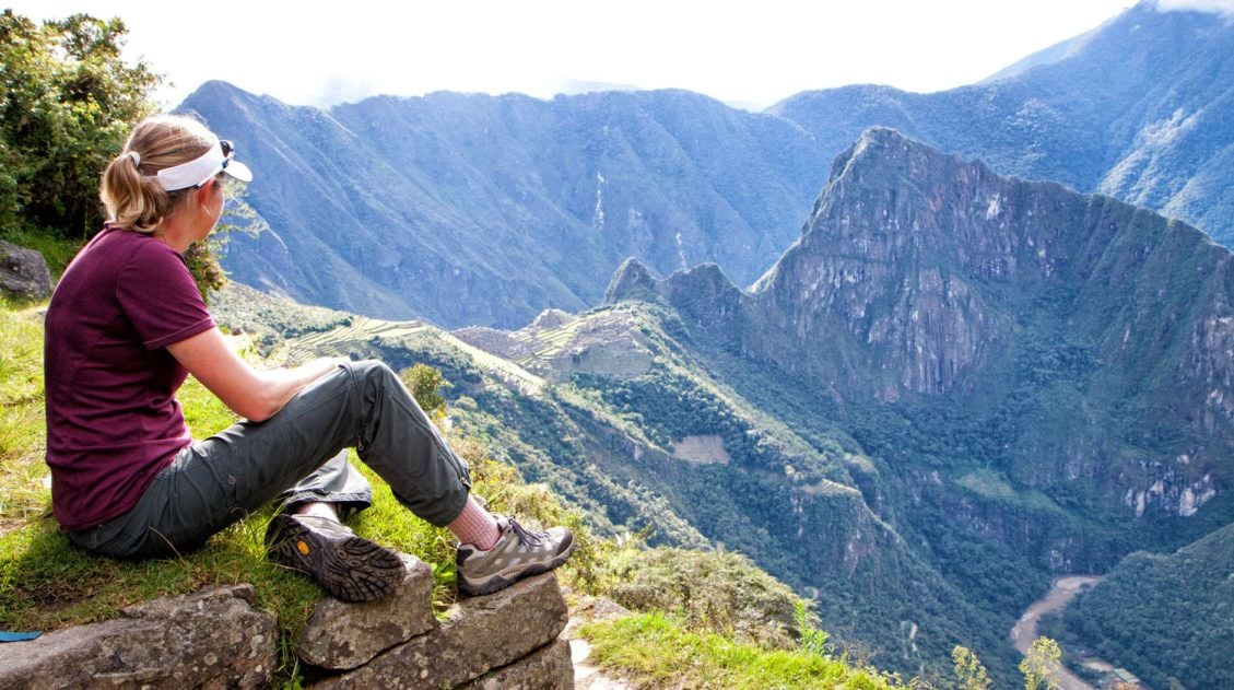
The one day hike allows you to walk the last section of the famous Inca trail, ending at the Sun Gate in the afternoon, for your first views of Machu Picchu. It is so much more rewarding to arrive this way to Machu Picchu than to take the train and bus combo that shuttles you right up to Machu Picchu’s main entrance.
We loved this hike. We hiked through the Andes Mountains, visiting Inca ruins along the way, climbed ancient stone steps, walked through a rainforest, and viewed rainbows over the mountains. The hike culminates at the Sun Gate and its amazing view of Machu Picchu. Before heading down to Aguas Calientes for the night, you get to view Machu Picchu from its famous postcard point and still have the entire next day to explore Machu Picchu.
Don’t let other online reviews keep you from doing this hike. If you only have one day to spare, the one day Inca trail is an excellent alternative to its four day counterpart.
Distance: 15 km
Length of Time: All day. A morning train will drop you off at km 104 of the Inca trail and it takes 4 to 5 hours to hike the trail, arriving at the Sun Gate in the afternoon. From the Sun Gate it is a 45 minute hike down to the Machu Picchu overlook. From here, you take a bus down to Aguas Calientes to spend the night.
The following morning, get up before dawn, take the bus back up to Machu Picchu and watch the sunrise. It’s spectacular!
Hiking to Machu Picchu Along the Inca Trail
What to expect on the one day Inca Trail hike to Machu Picchu.5. Puez-Odle Altopiano, Dolomites
Location: Italy
Distance: 17 km (10.6 miles) | Difficulty: Strenuous | Time: 6 to 9 hours
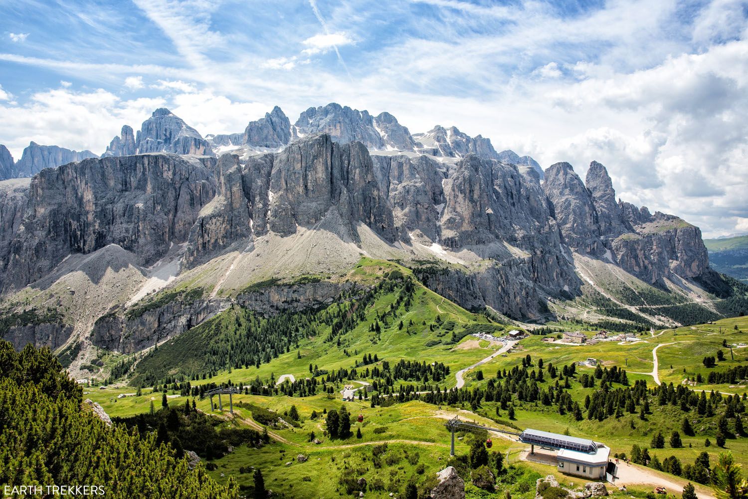
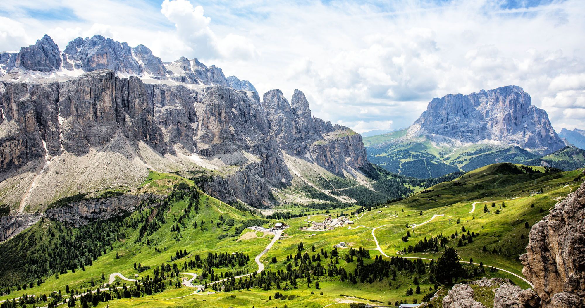
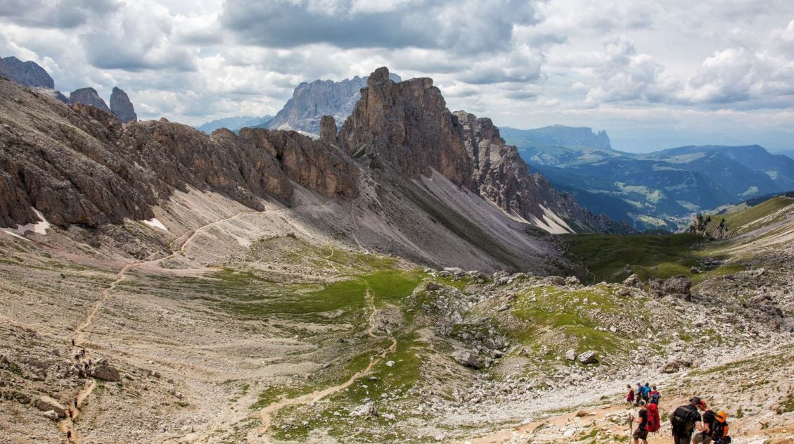
The view from the Puez-Odle Altopiano Trail
The Dolomites are one of our favorite spots in the world to go hiking.
We did three hikes here in 2014 and all of them were unforgettable experiences. In 2022, we returned and spent 9 days hiking here. Photos of the Dolomites, even the good ones, still don’t show you just how stunningly beautiful this area of the world is.
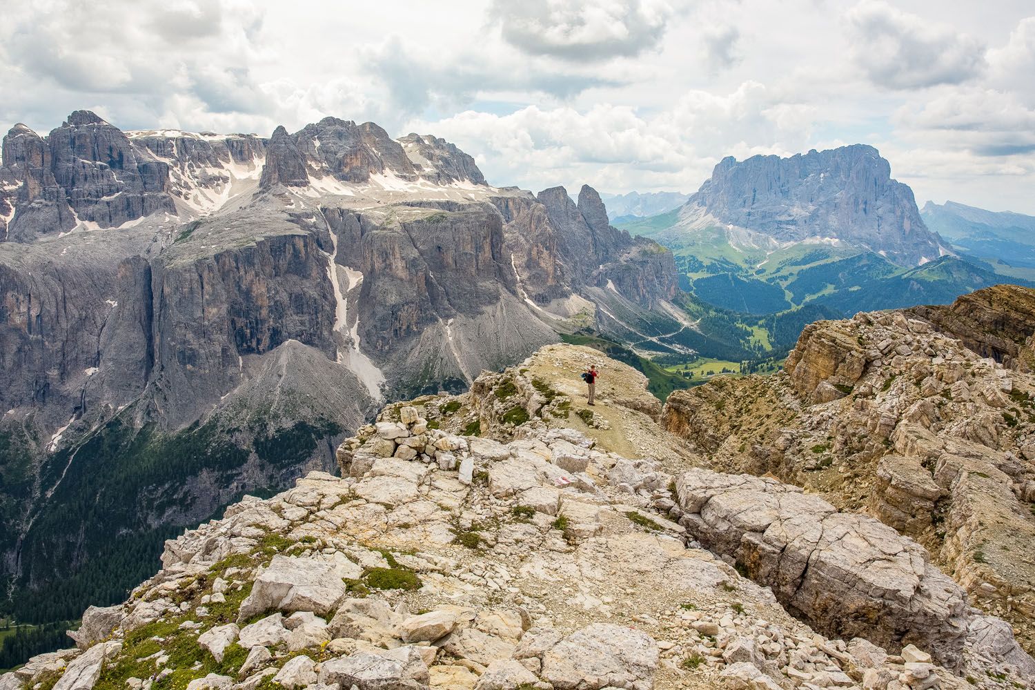
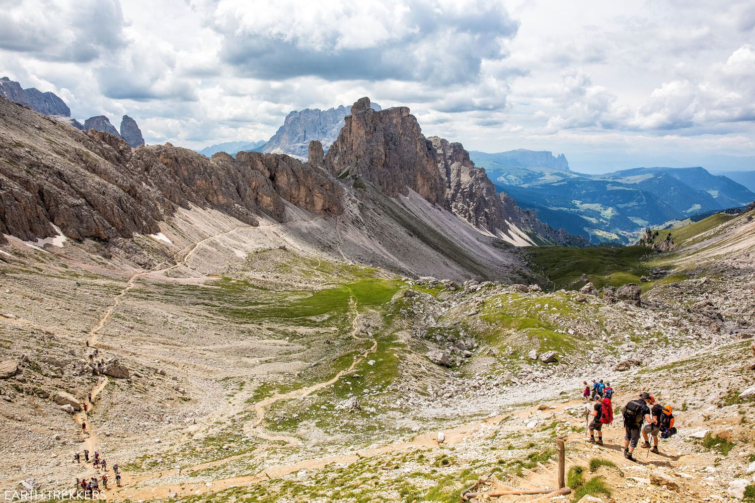
I had to pick just one of our hikes for this article, a tough decision, but hiking the Puez-Odle Altopiano was our favorite in the Dolomites. It’s long, it involves a lot of climbing, but it is worth the effort. This hike takes you to some of the highest peaks in the area, giving you a bird’s eye view of the amazing mountains of the Dolomites. It is worth the effort for these awesome 360° views. For a full list of hikes, check out our Dolomites Hiking Guide.
How to Hike the Puez-Odle Altopiano Trail in the Dolomites
The complete guide to the Puez-Odle Altopiano Trail in the Dolomites.6. Fimmvörðuháls Hike
Location: Iceland
Distance: 25 km (15.5 miles) | Difficulty: Strenuous | Time: 8 to 10 hours
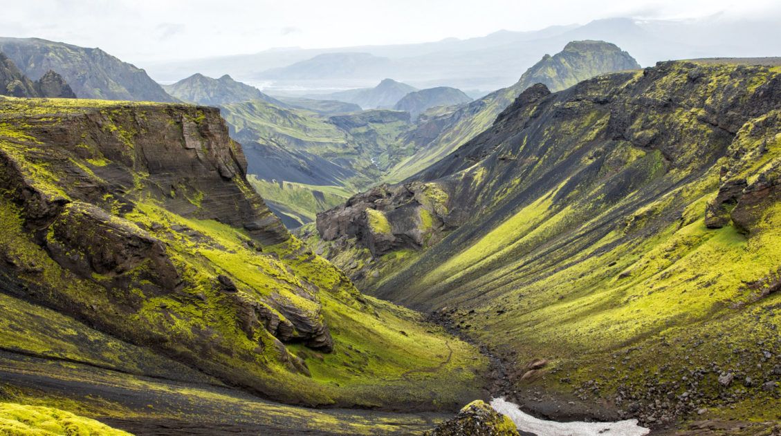
The Fimmvörðuháls hike is Iceland’s best day hike. 26 waterfalls, 1 volcano, 2 glaciers, and 3 unique landscapes all combine for one of the most extraordinary hiking experiences on the planet.
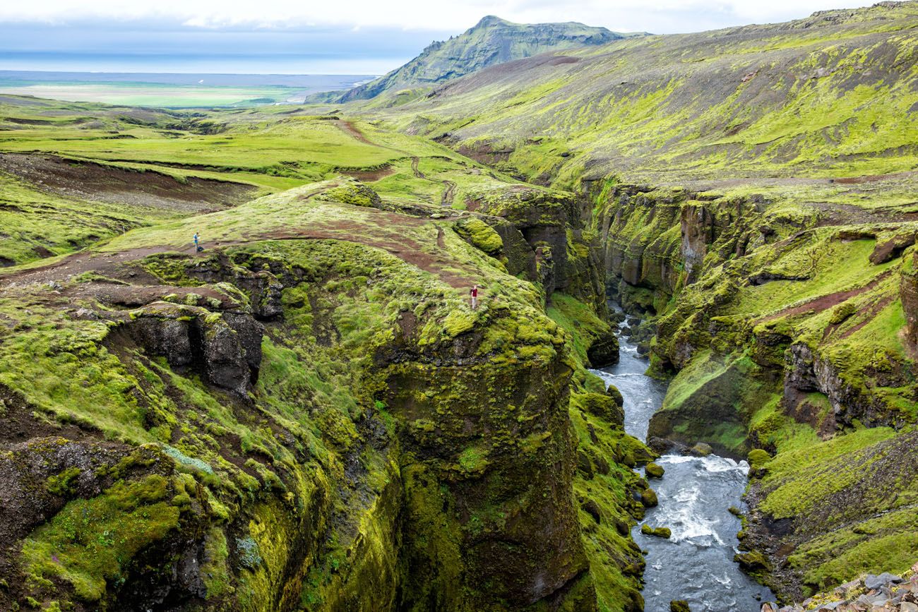
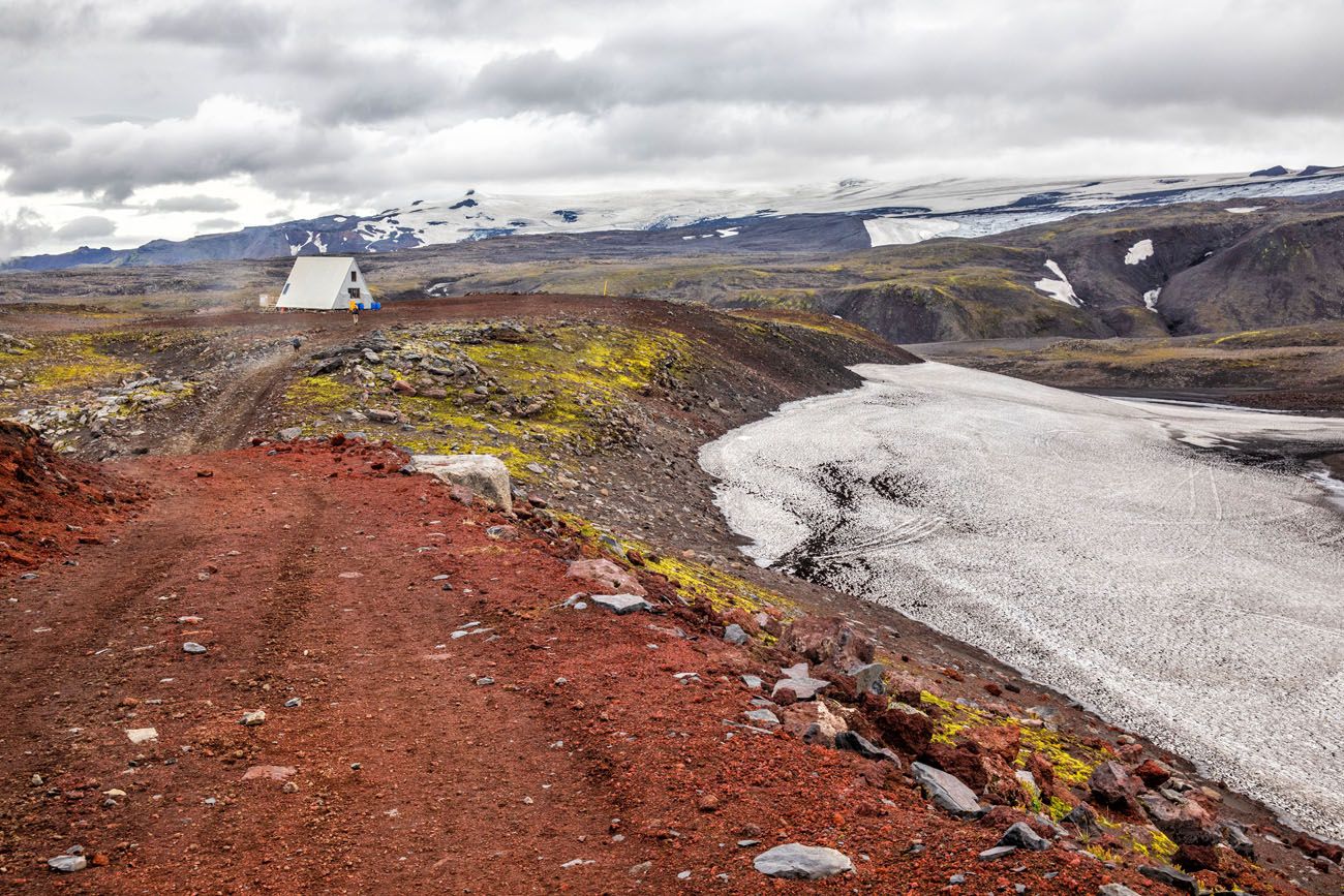
The Fimmvörðuháls Trail | Best Day Hikes in the World
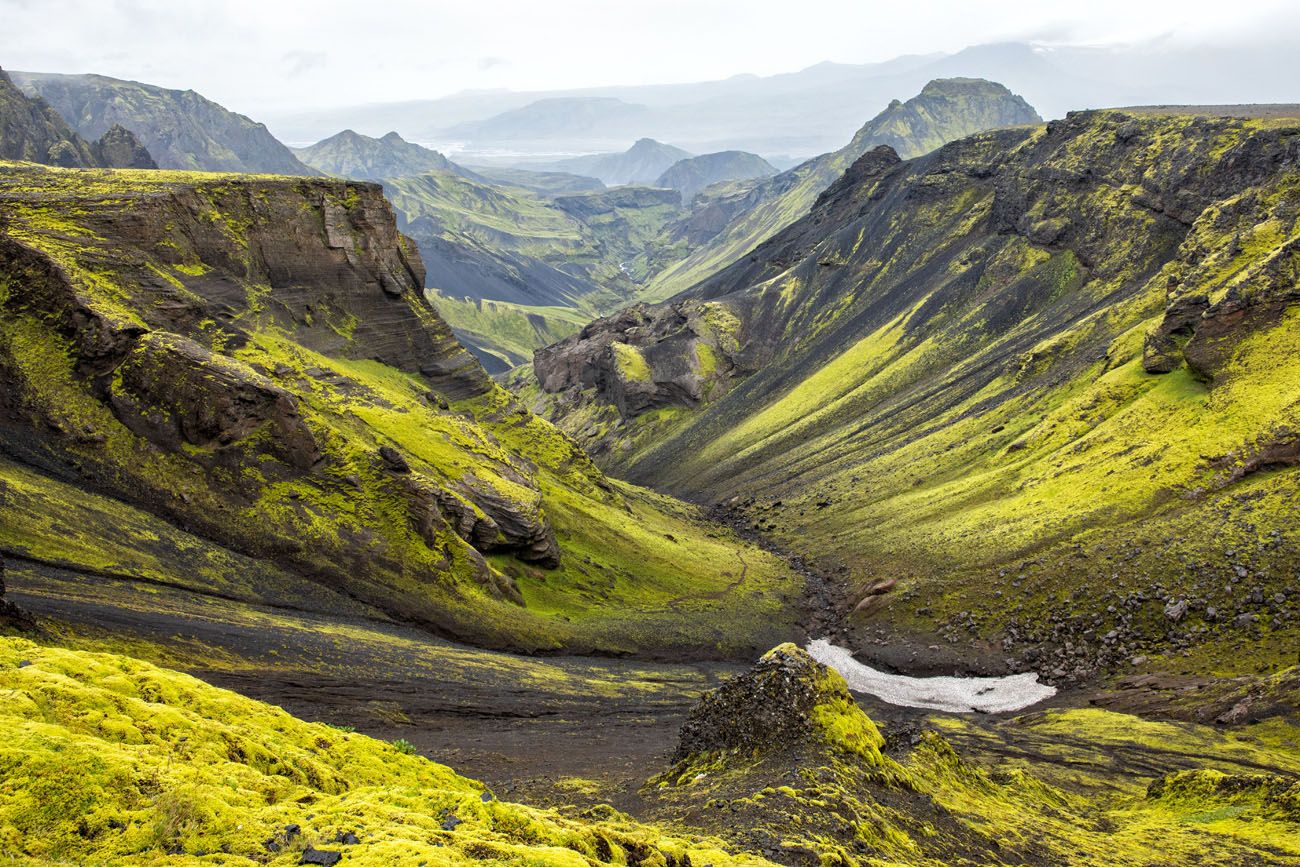
Thórsmörk
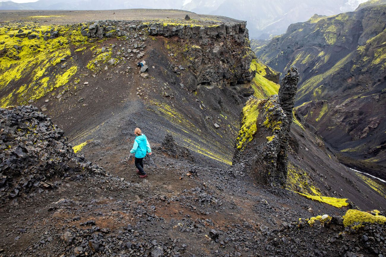
This is a massive hike. It’s 25 km (15.5 miles) in length and done as a point-to-point hike from Skogafoss to Thórsmörk. The logistics can be challenging, but we have a great guide to help you plan your hike.
If you have plans to visit Iceland during the summer months and love hiking, this should be #1 on your Iceland bucket list.
Fimmvörðuháls Hike: A Step-By-Step Guide to Iceland’s Best Day Hike
Everything you need to know to hike the Fimmvörðuháls Trail, from arranging your transportation to what to expect on the trail.7. The Enchantments, Alpine Lakes Wilderness, USA
Location: Washington State
Distance: 31 km (19.25 miles) | Difficulty: Challenging | Time: 8 to 15 hours
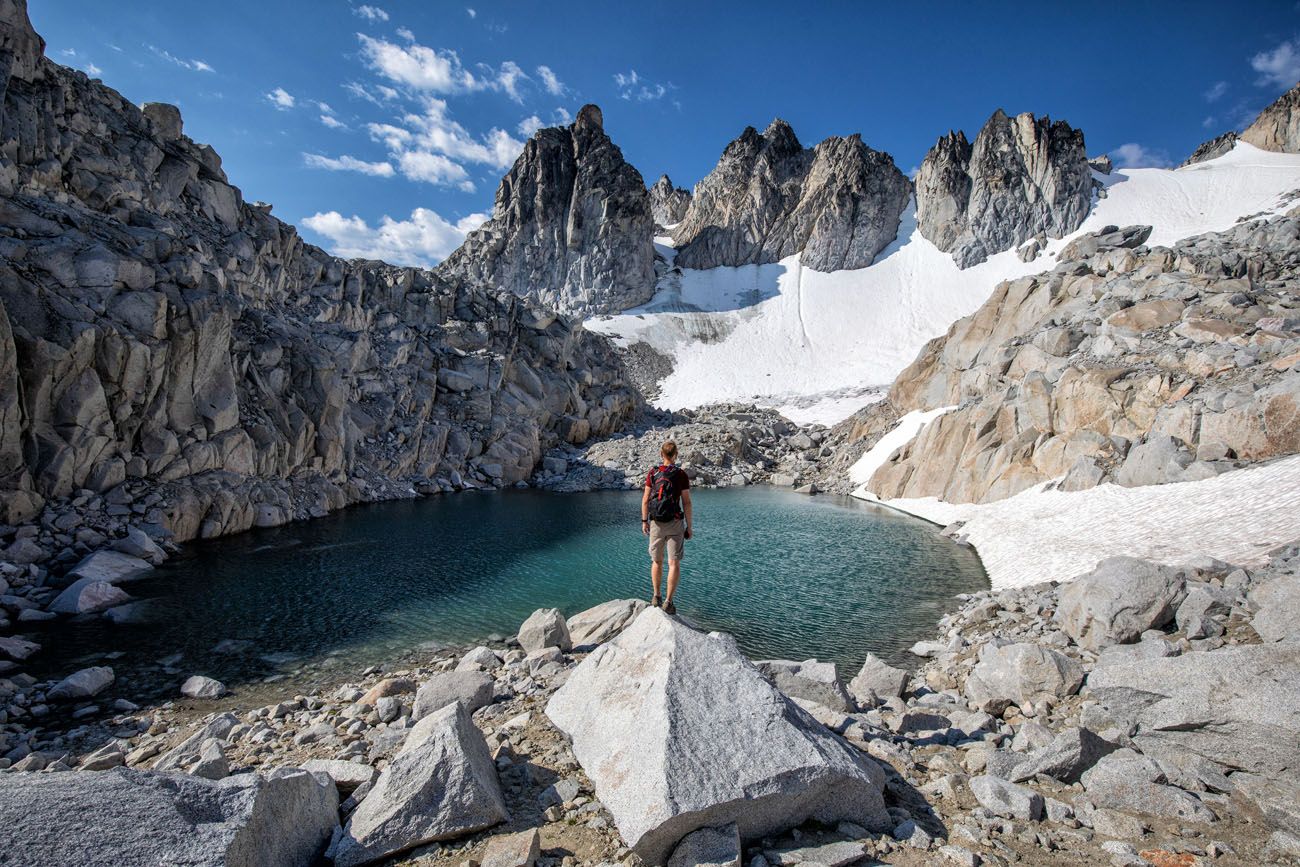
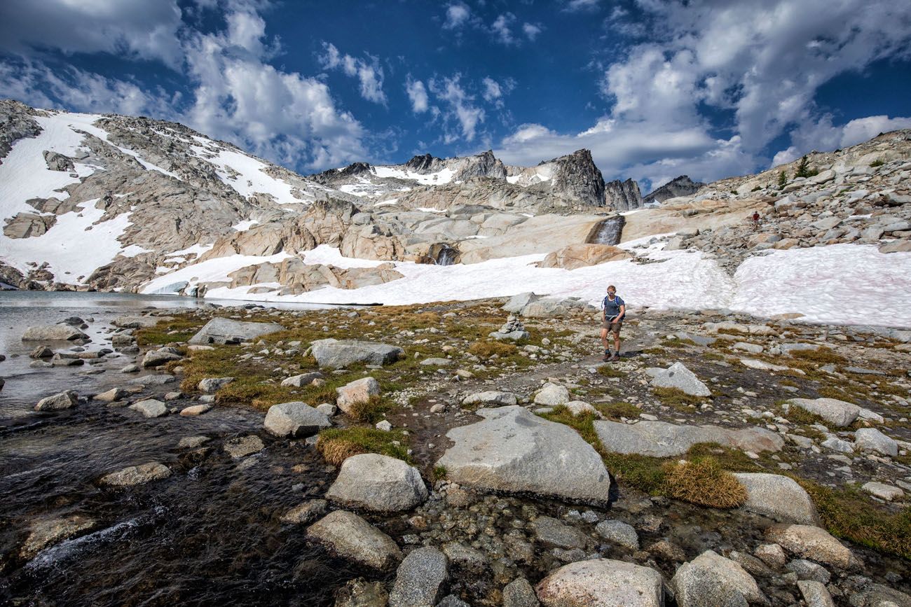
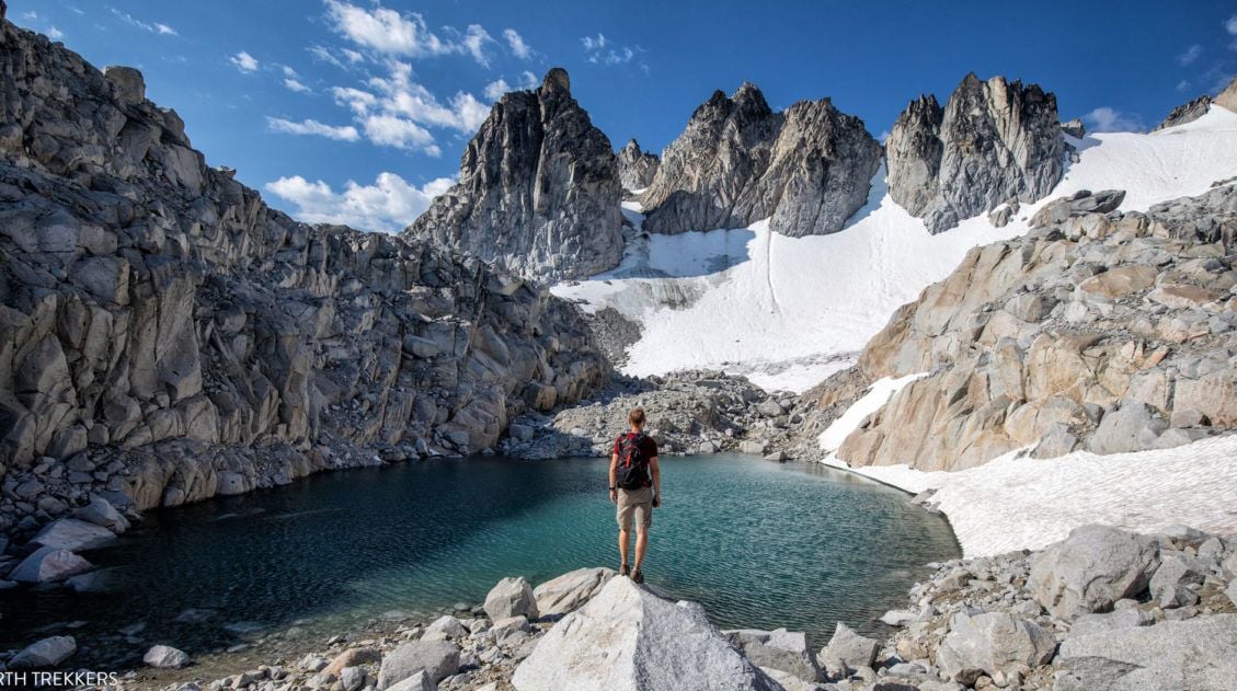
If you are a hiker, the Enchantments are a destination that belongs at the top of your list. Turquoise, emerald, and aquamarine alpine lakes are scattered through the jagged, snow-capped mountain peaks. Wildflowers bloom along the edges of the trail, mountain goats graze on the grasses, and the larches turn brilliantly yellow in the fall months.
On this hike, the landmarks make it sound like you are in a fairytale. It definitely looks like something from another world. You’ll climb over Aasgard Pass, gaze up at Dragontail Peak, and hike past Leprechaun Lake and Sprite Lake.
There are two ways to visit the Enchantments. You can either thru-hike the Enchantments as one massive day hike or you can backpack the Enchantments, spending several nights here. However, to camp in the Enchantments, you must have a permit. Getting a permit takes extremely good luck, which is why most people will visit the Enchantments on a day hike.
It is an absolutely gorgeous hike, but it is also extremely difficult, when done as a day hike. Over the course of almost 20 miles, you will ascend one mile and then drop down another 7,000 feet to finish the hike. It is a long, hard day but one that you will never forget.
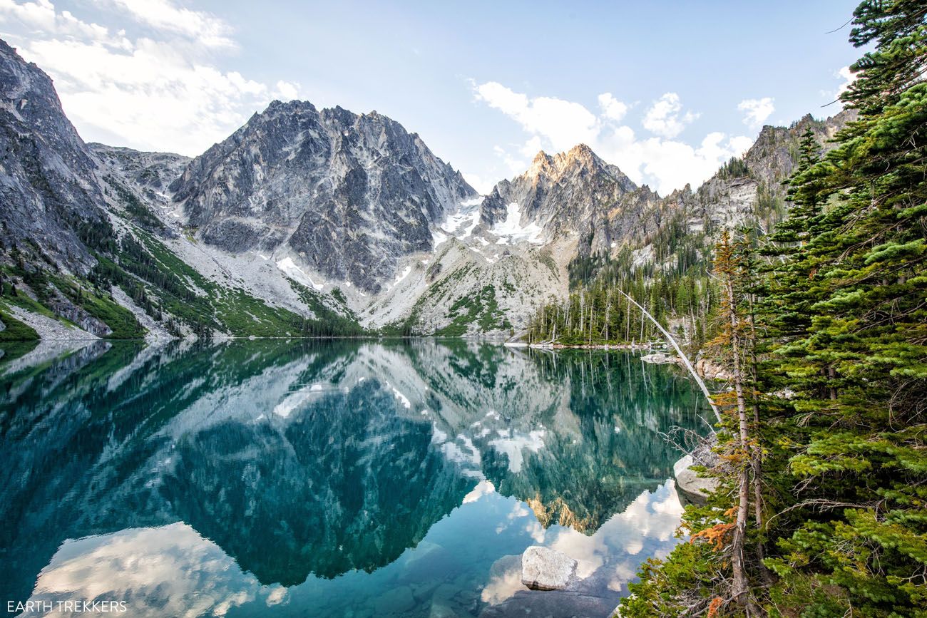
Lake Colchuk
How to Hike the Enchantments in One Day: A Step-By-Step Trail Guide
Exactly how to hike the Enchantments in one day.8. Tongariro Alpine Crossing
Location: New Zealand
Distance: 19.4 km (12 miles) | Difficulty: Moderate to Strenuous | Time: 6 to 8 hours
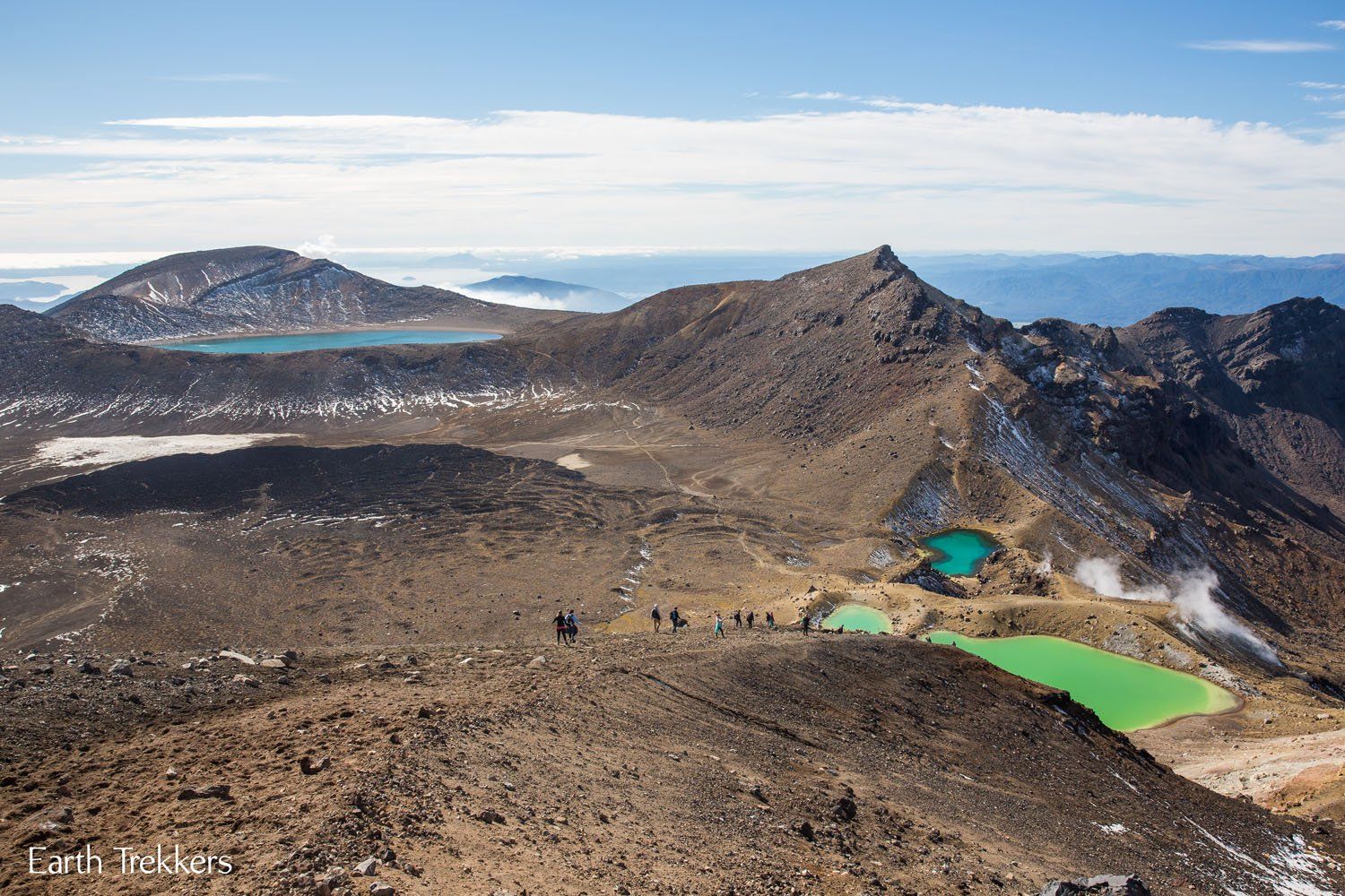
Labeled as the best single day hike in New Zealand, some people even consider this hike to be best single day hike in the world.
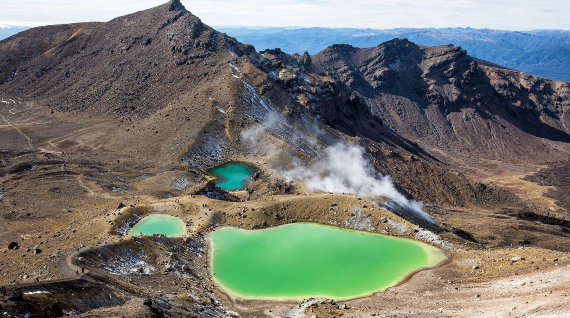
The Tongariro Alpine Crossing | Best Day Hikes in the World
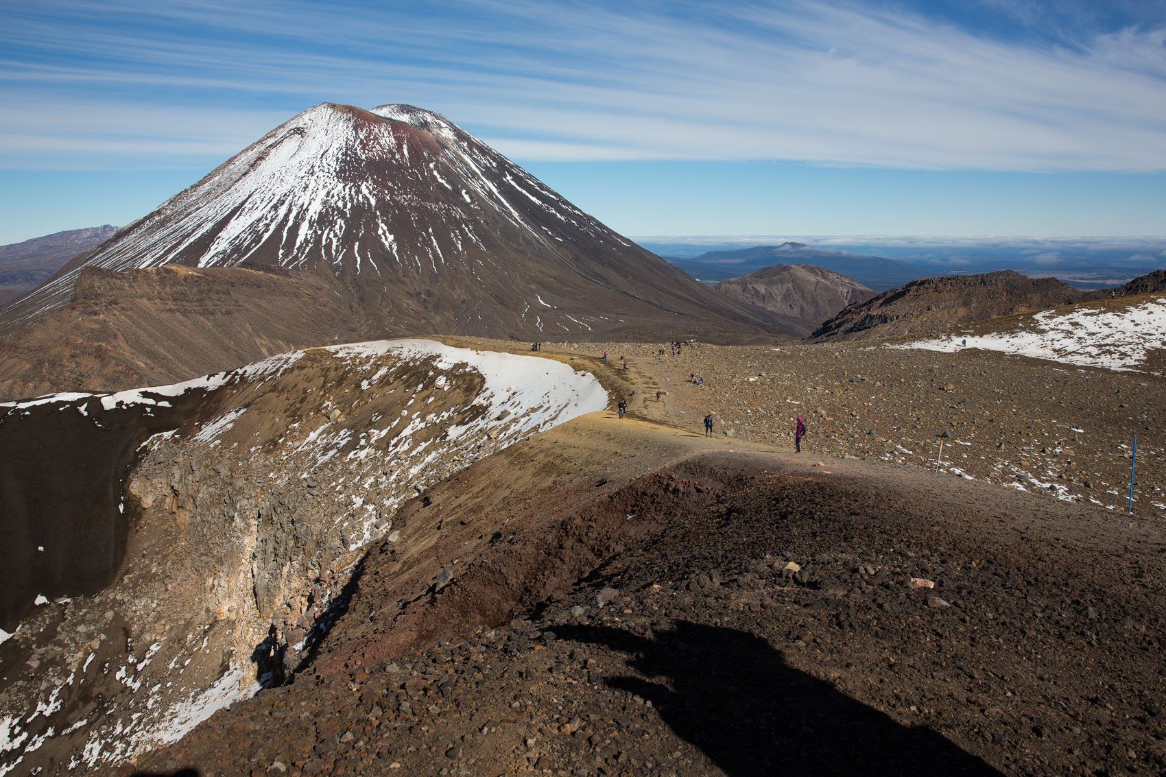
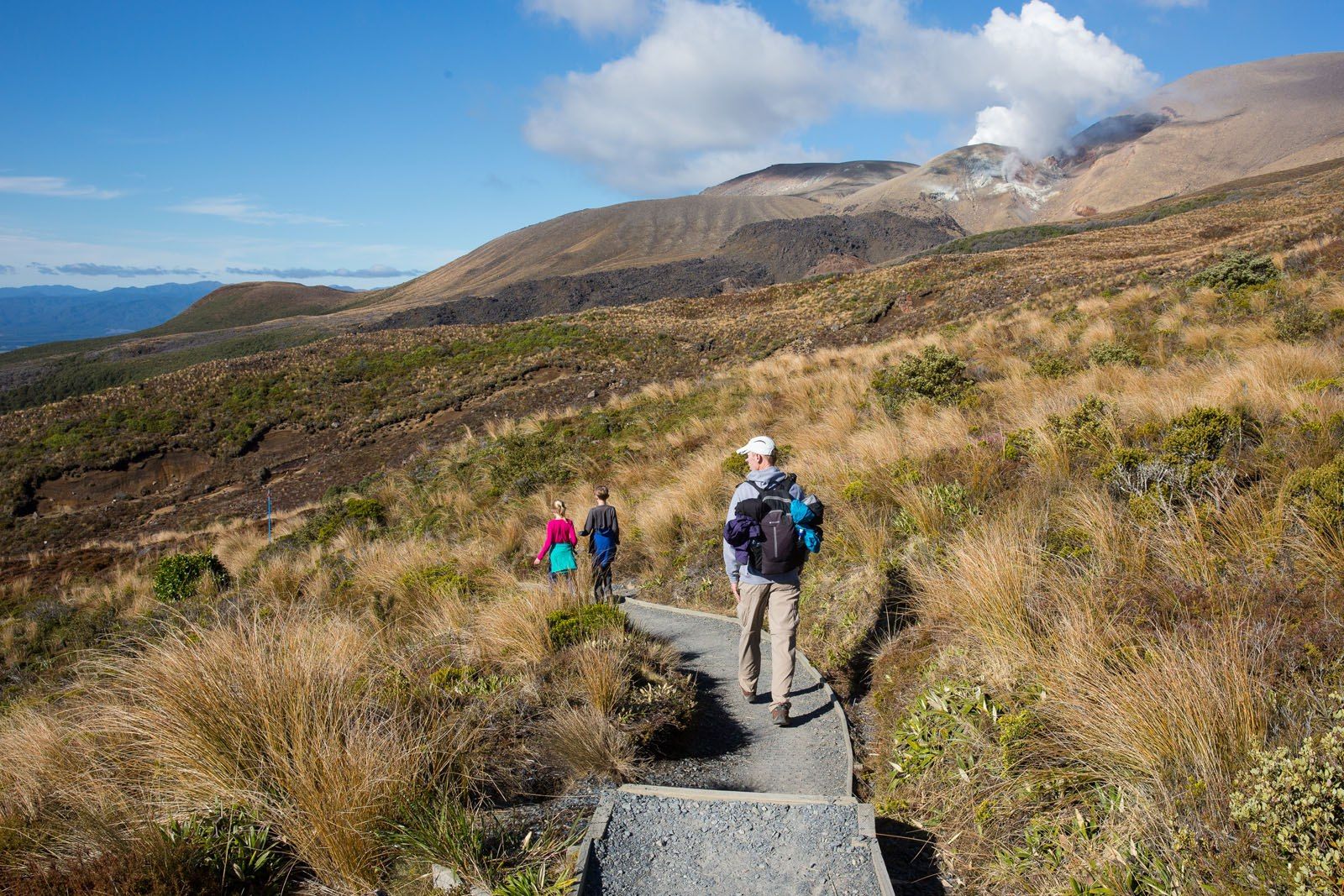
Located on the North Island of New Zealand, the volcanic terrain of Tongariro breaks up the lush, green scenery that is so prevalent in this country. Here is your chance to hike in the shadow of Mt. Doom, walk through an almost lunar landscape, and watch as semi-dormant volcanoes smoke not too far off in the distance.
The Tongariro Alpine Crossing is uniquely beautiful and another one of those hikes where the scenery is constantly changing.
Tongariro Alpine Crossing, A Step-By-Step Guide to New Zealand’s Best Day Hike
Everything you need to know to hike the Tongariro Alpine Crossing, with information on how to arrange your transportation.9. Grand Canyon Rim-to-Rim
Location: Grand Canyon National Park
Distance: 38 km (23.5 miles) | Difficulty: Very challenging | Time: One massive day hike or a 2 to 3-day backpacking trip
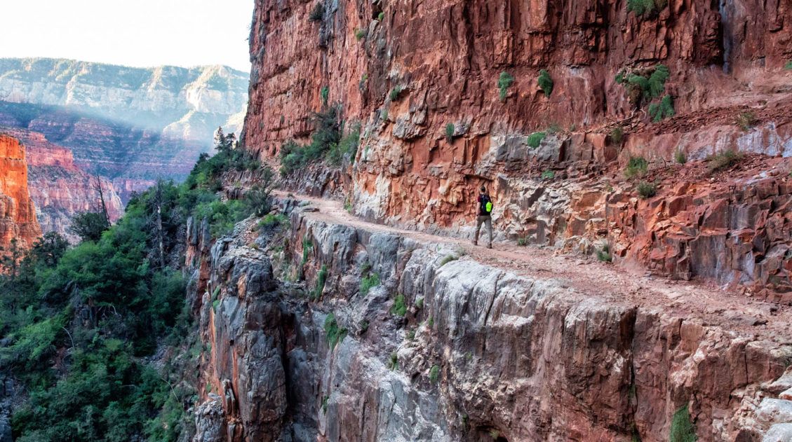
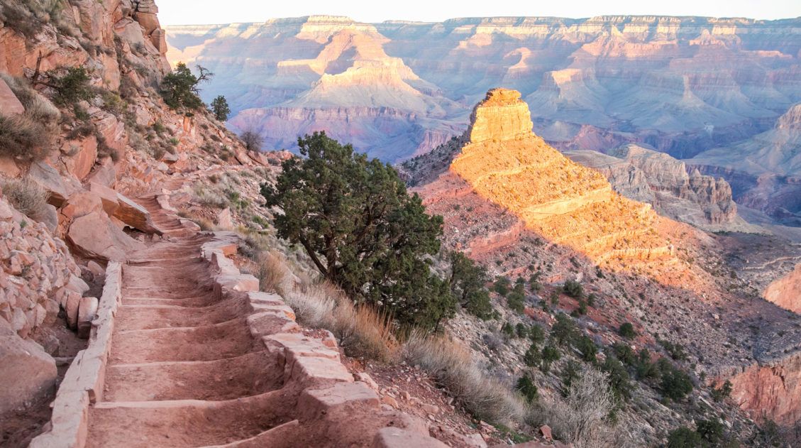
Awe-inspiring, challenging, exhausting, unforgettable…these are all words to describe the trek across the Grand Canyon. If you are up for a big adventure, hiking the Grand Canyon rim-to-rim is one for the bucket list.
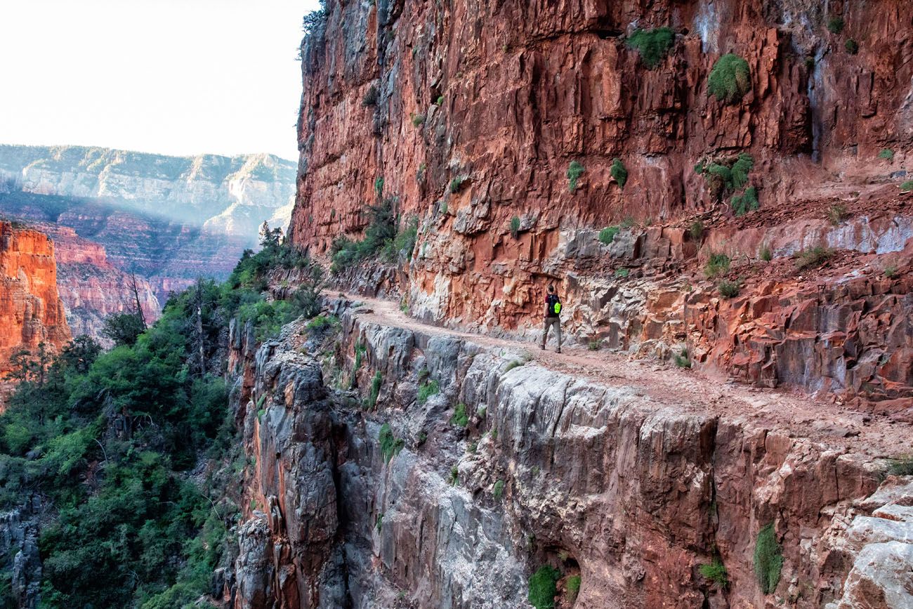
The North Kaibab Trail
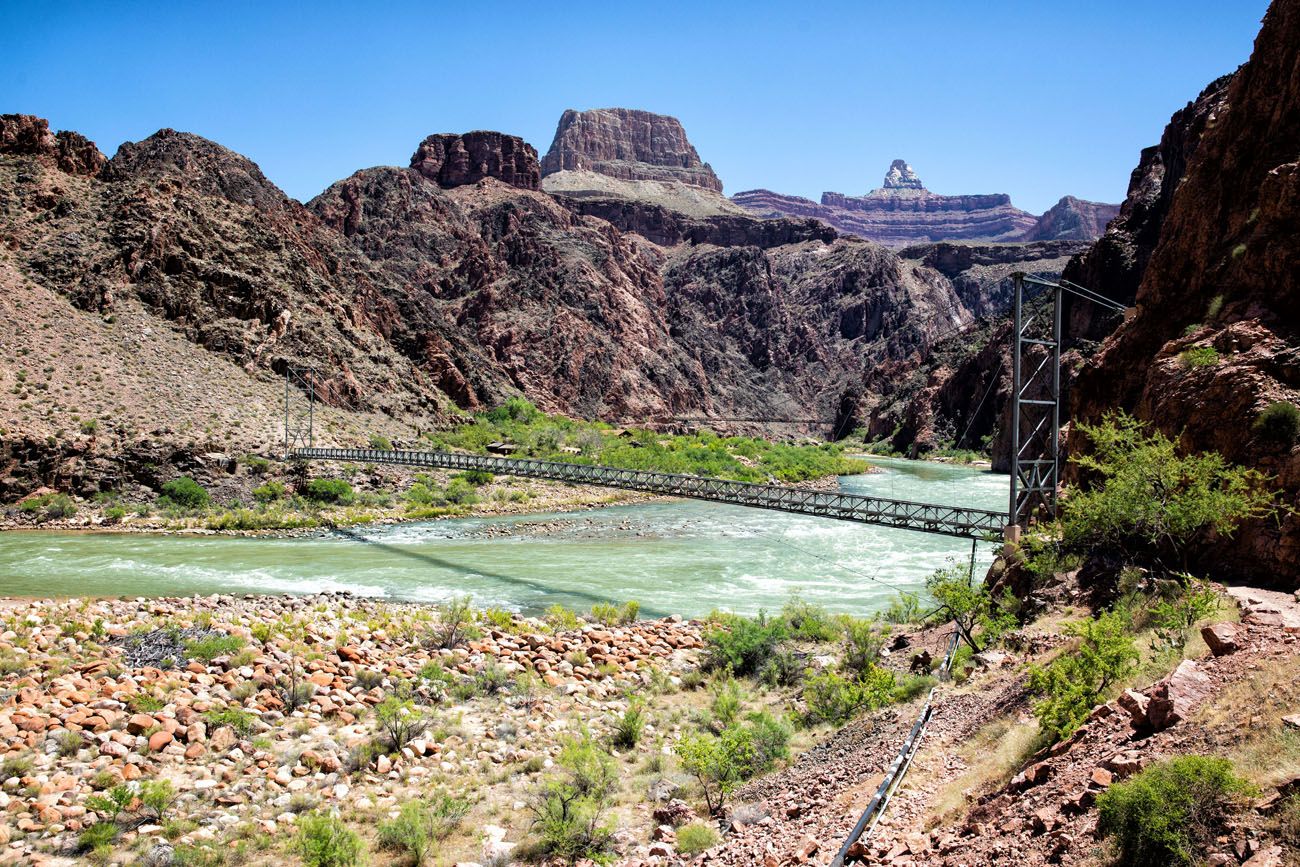
The Colorado River
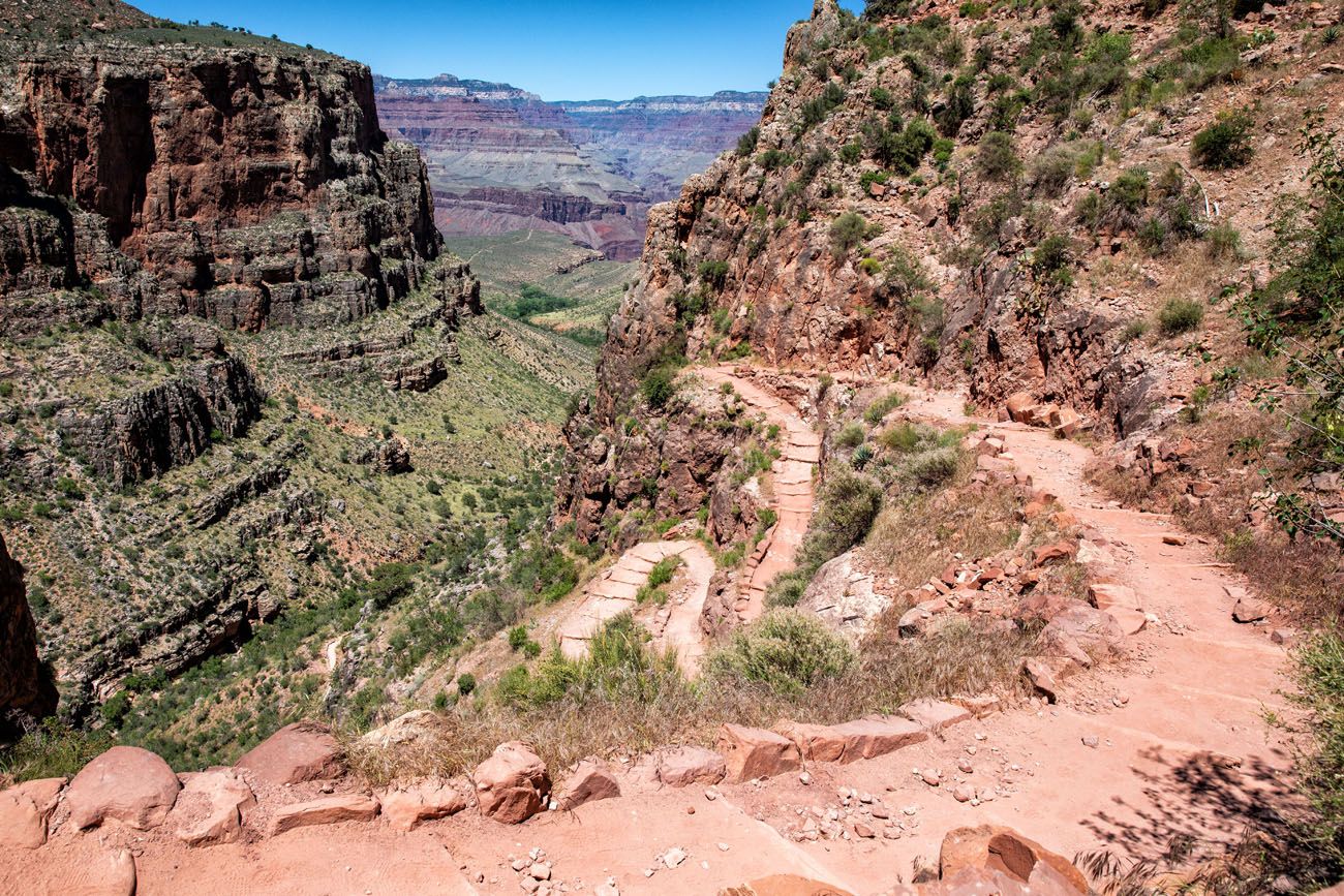
The Bright Angel Trail
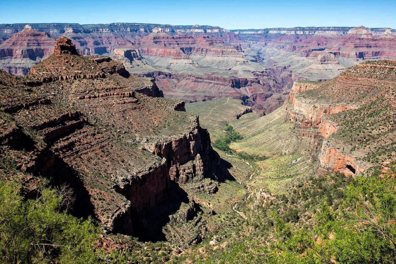
This is the land of extremes. In the summer months, the temperature can fluctuate along the trail as much as 80 degrees in one day. You will descend nearly one mile to the Colorado River and then climb back up the other side.
Along the way, you will face heat, cold, fatigued legs, exhaustion, joy, and maybe even despair. You’ll rejoice at the jaw-dropping views, hike on steep, dusty trails, walk through narrow canyons and shady, lush oases, and thoroughly immerse yourself in one the United States most iconic landscapes.
Once you hike rim-to-rim, you will never look at the Grand Canyon the same way again.
Most people hike rim-to-rim on a two or three-day backpacking trip. If you are extremely fit and fast, it is possible to hike the Grand Canyon rim-to-rim in one day.
10. Love Valley, Cappadocia
Location: Turkey
Distance: 2.4 km (1.5 miles) | Difficulty: Easy | Time: 1 to 1.5 hours
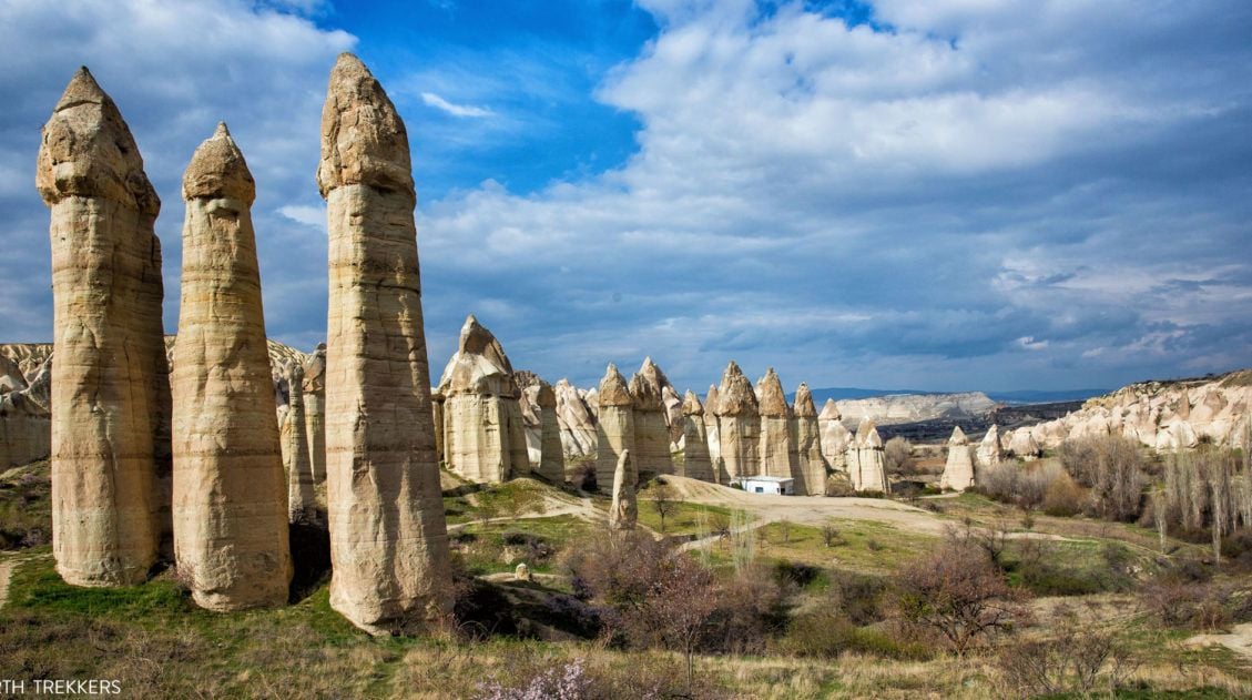
This is a very quick hike, ending at these uniquely shaped spires that gives Love Valley its name.
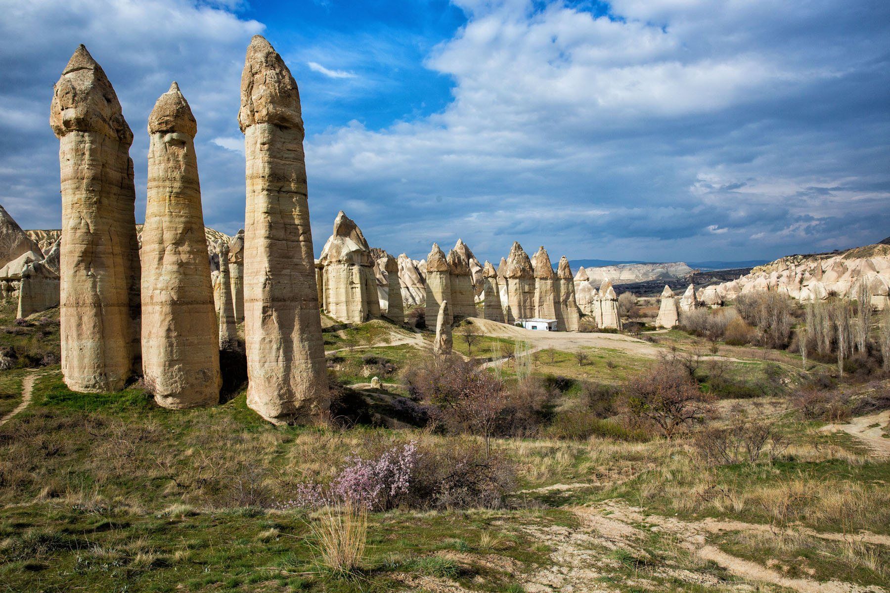
There is more to the Love Valley Hike than the phallic-shaped rock formations at the end. The hike takes you through a very scenic valley with small climbs, caves, and unique vegetation. It is a beautiful hike and will leave you with quite an interesting collection of photographs.
11. Tiger’s Nest
Location: Bhutan
Distance: 6.4 km (4 miles) | Difficulty: Moderate | Time: 5 to 7 hours
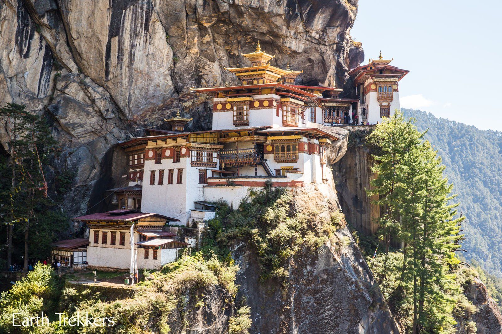
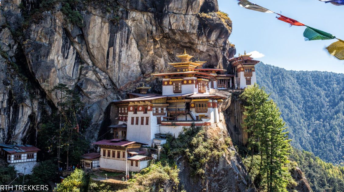
The Tiger’s Nest is a Buddhist monastery perched on the side of a cliff, 900 meters off of the ground. It is a long climb to get here, but oh, what a view. Such a majestic building in a precarious position. Prayer flags are waving in the air and you can smell the incense and hear the Buddhist monks in prayer. It is a once in a lifetime opportunity.
The Ultimate Guide to Hiking to the Tiger’s Nest, Bhutan
Exactly how to hike to the Tiger’s Nest in Bhutan.12. Schynige Platte to Faulhorn to First, Switzerland
Location: Jungfrau Region of Switzerland
Distance: 16 km (10 miles) | Difficulty: Strenuous | Time: 6 hours
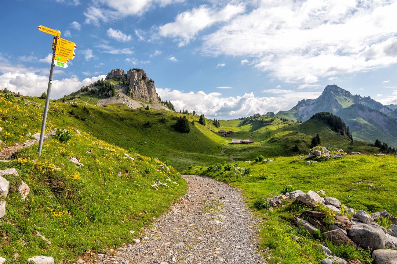
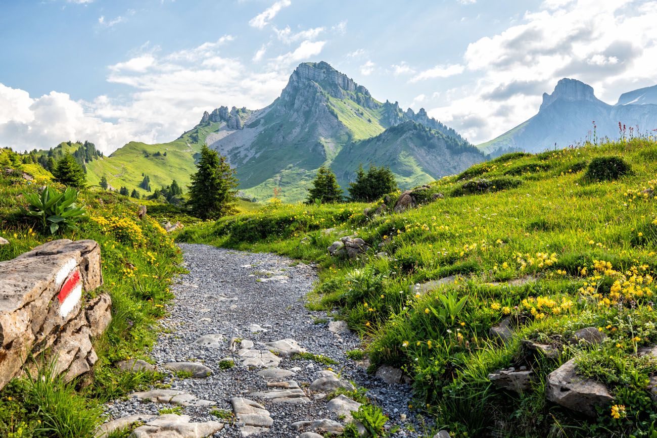
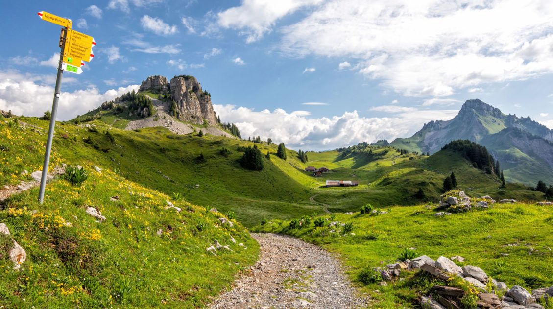
The hike from Schynige Platte to Faulhorn to First is a big day hike in the Jungfrau region of Switzerland, but what a spectacular day. A scenic ride on a cogwheel train, alpine lakes, rustic mountain huts, snow-covered trails, cows and their musical bells, and some of the best views of Swiss Alps…these are just a few highlights of this thrilling hike.
With views of the Jungfrau massif, Lake Brienz, and numerous alpine lakes, this is often labeled as one of the best day hikes to do in the Jungfrau region.
Schynige Platte to Faulhorn to First Hike: Step-By-Step Trail Guide
Everything you need to know to hike from Schynige Platte to Faulhorn to First, a gorgeous hike in the Jungfrau region of Switzerland.13. Half Dome
Location: Yosemite National Park
Distance: 27 km (17 miles) | Difficulty: Challenging | Time: 10 to 14 hours
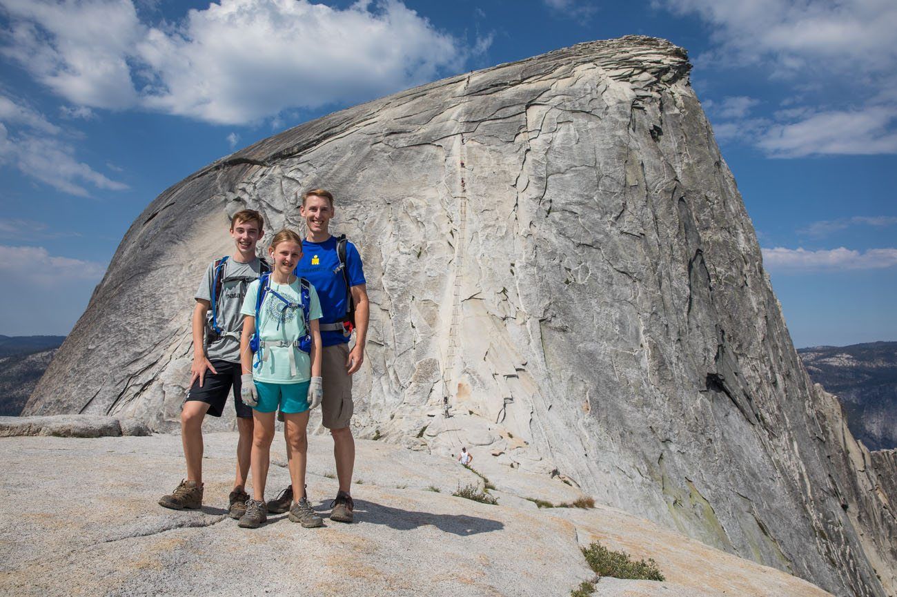
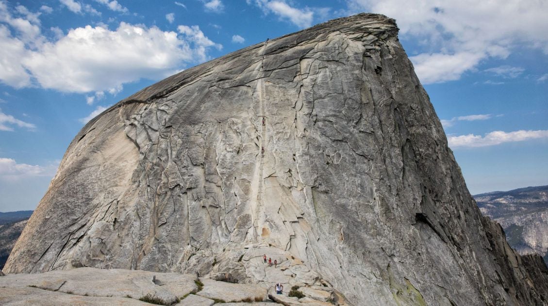
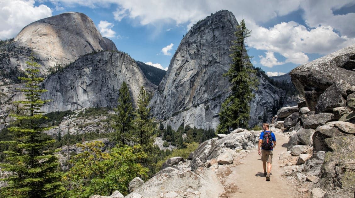
Why is the hike to Half Dome so epic? For one thing, standing on top of Half Dome and looking out over Yosemite National Park is a breathtaking experience. But to get here, you first must climb the Half Dome cables. This thrilling journey involves climbing the steep, slippery granite rock of Half Dome, using the cables for support. It’s a long, challenging hike but it is an amazing journey from start to finish.
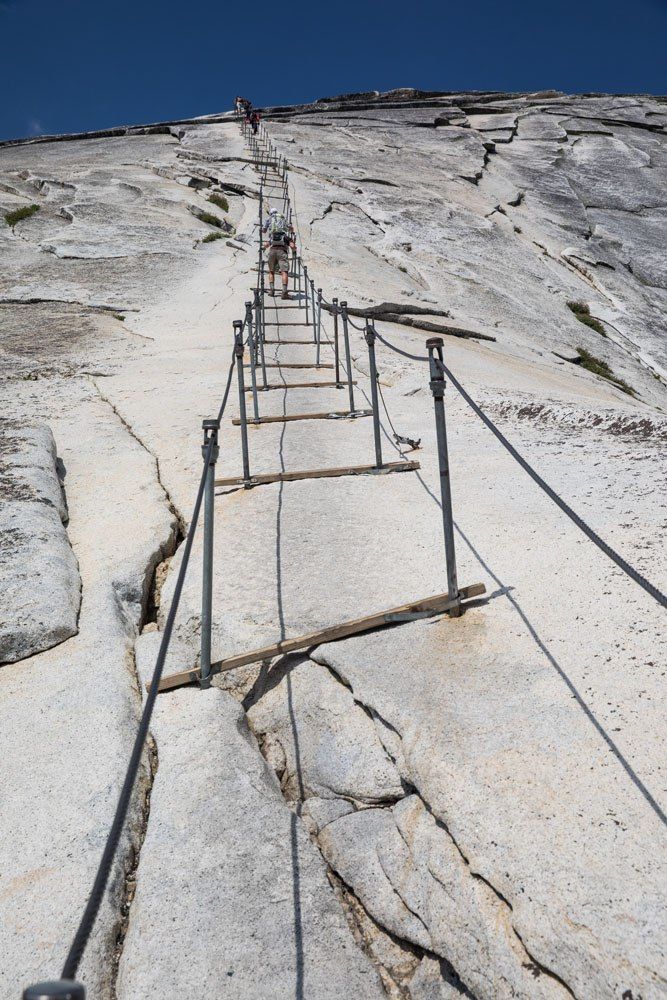
The Half Dome Cables
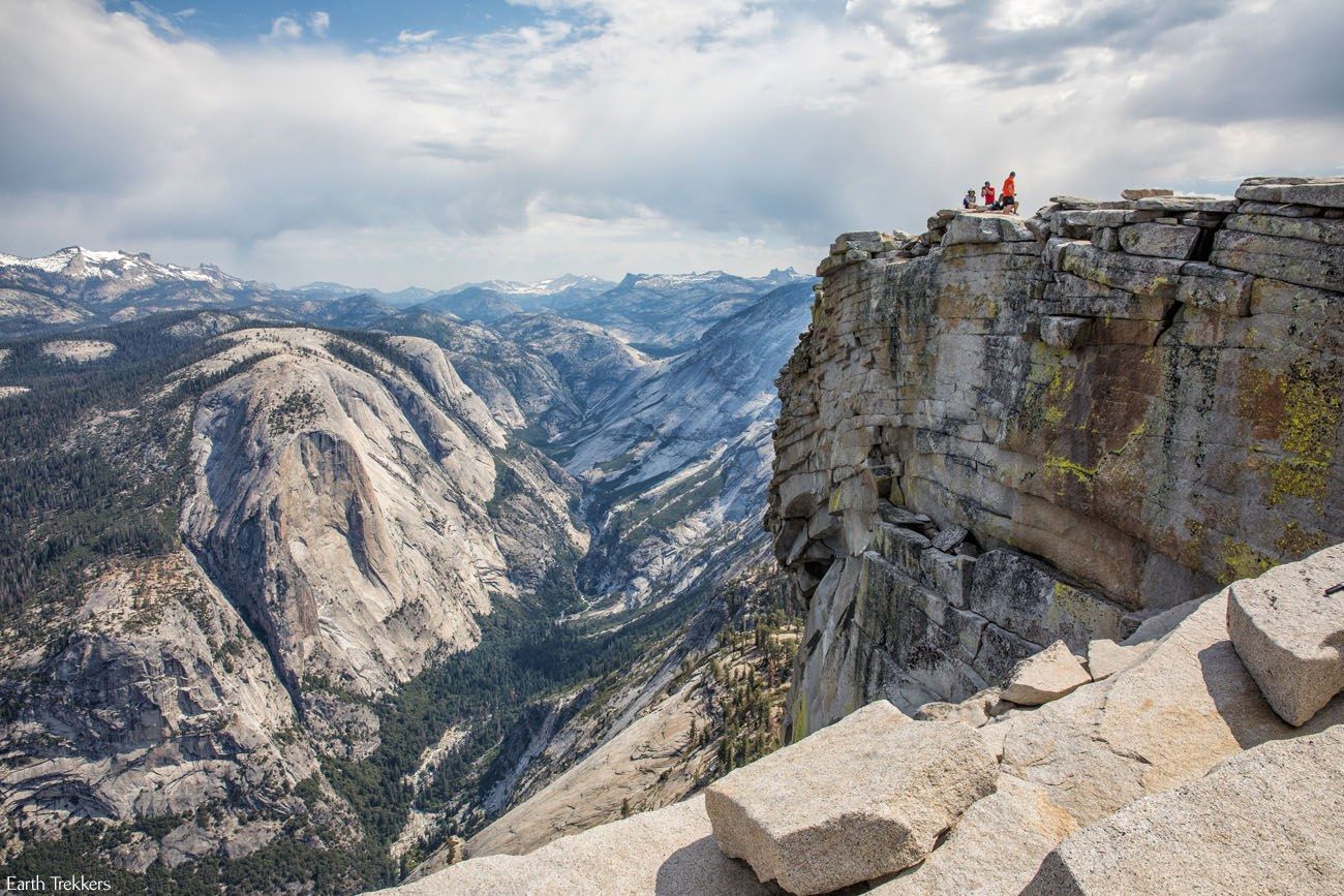
On top of Half Dome | Best Day Hikes in the World
In order to do this hike, you must have a permit to climb the cables.
Half Dome 2025, A Step-by-Step Hiking Guide
Complete trail guide for the epic Half Dome hike in Yosemite.14. Jiankou to Mutianyu, Great Wall of China
Location: China
Distance: 10 km (6.2 miles) Difficulty: Moderate | Time: 4 to 6 hours
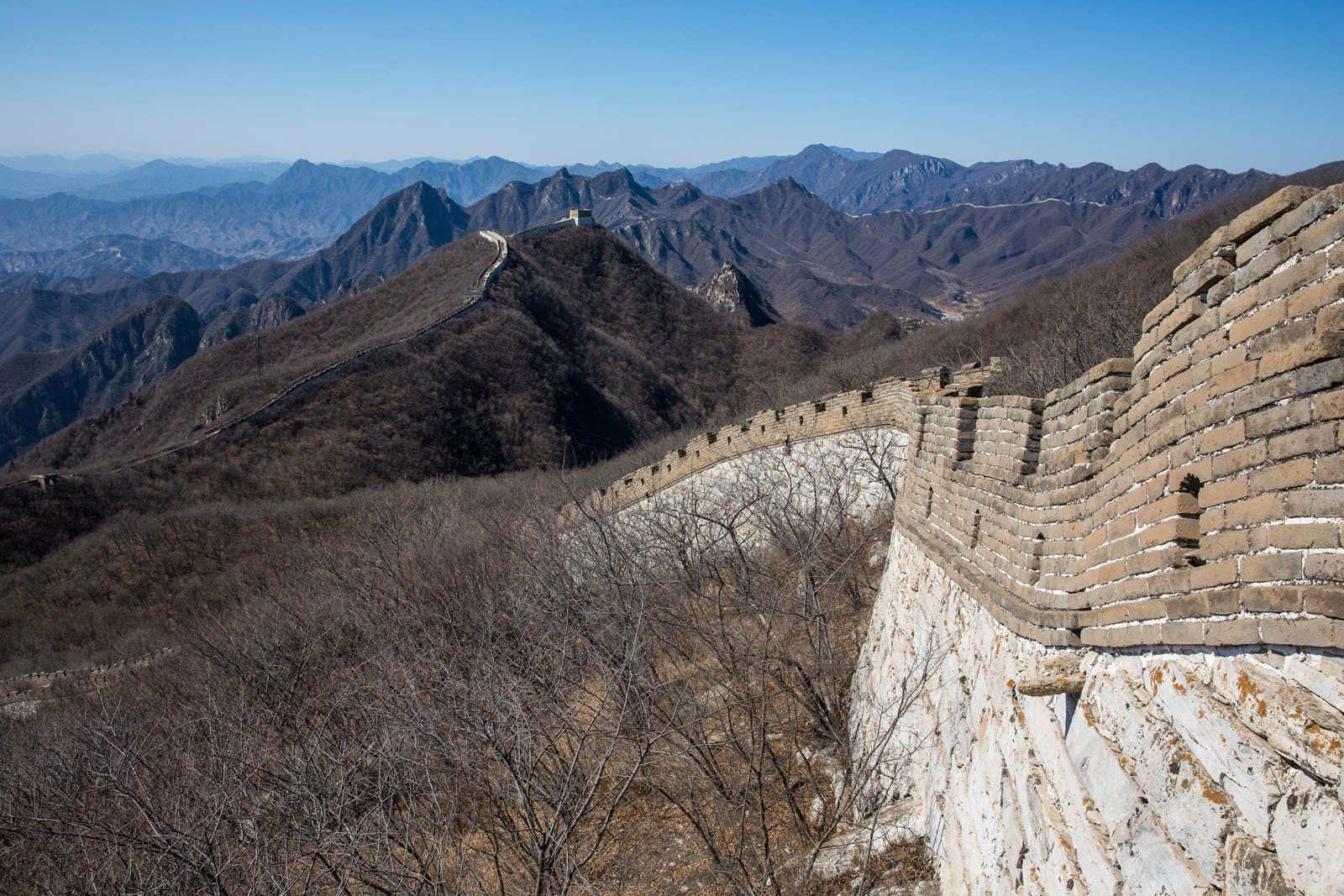
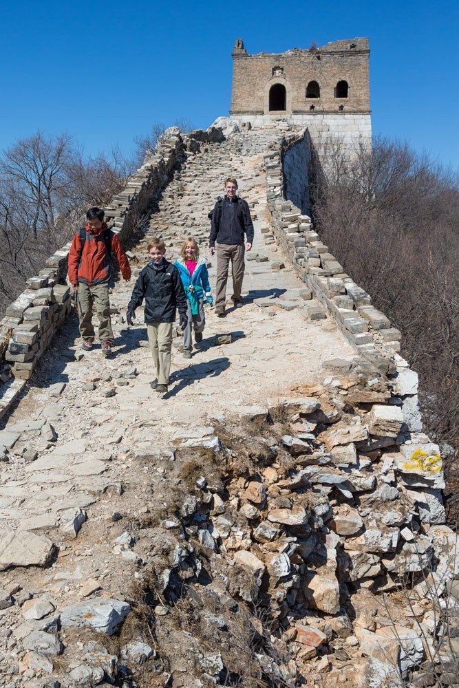
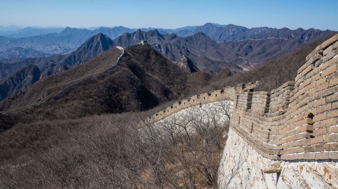
Walking on the Great Wall of China is an amazing experience. Sections of the wall are in perfect condition, having been restored, but there are sections of the wall, now crumbling and in disrepair, that still can be visited. The best part of the Great Wall are these decrepit, neglected sections, now overgrown with vegetation and even small trees, ancient sections of the wall not yet rebuilt or maintained.
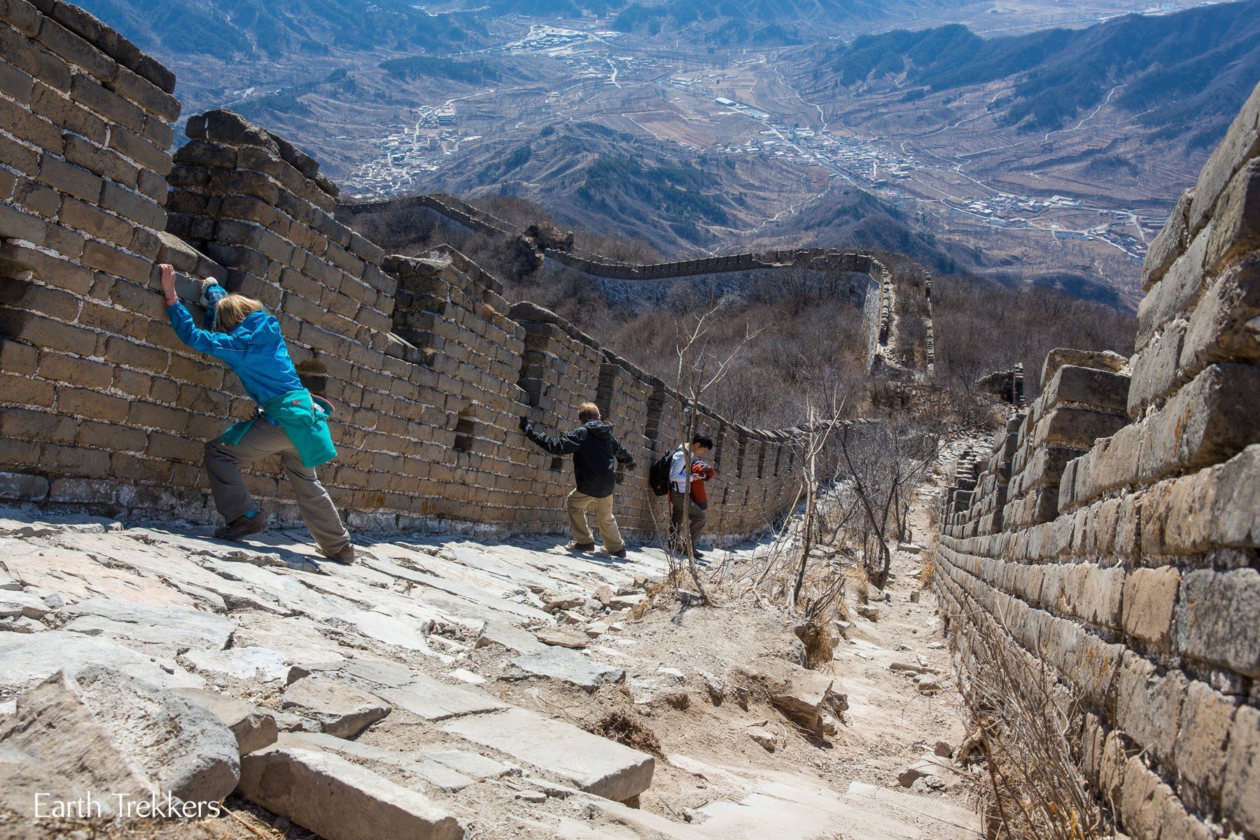
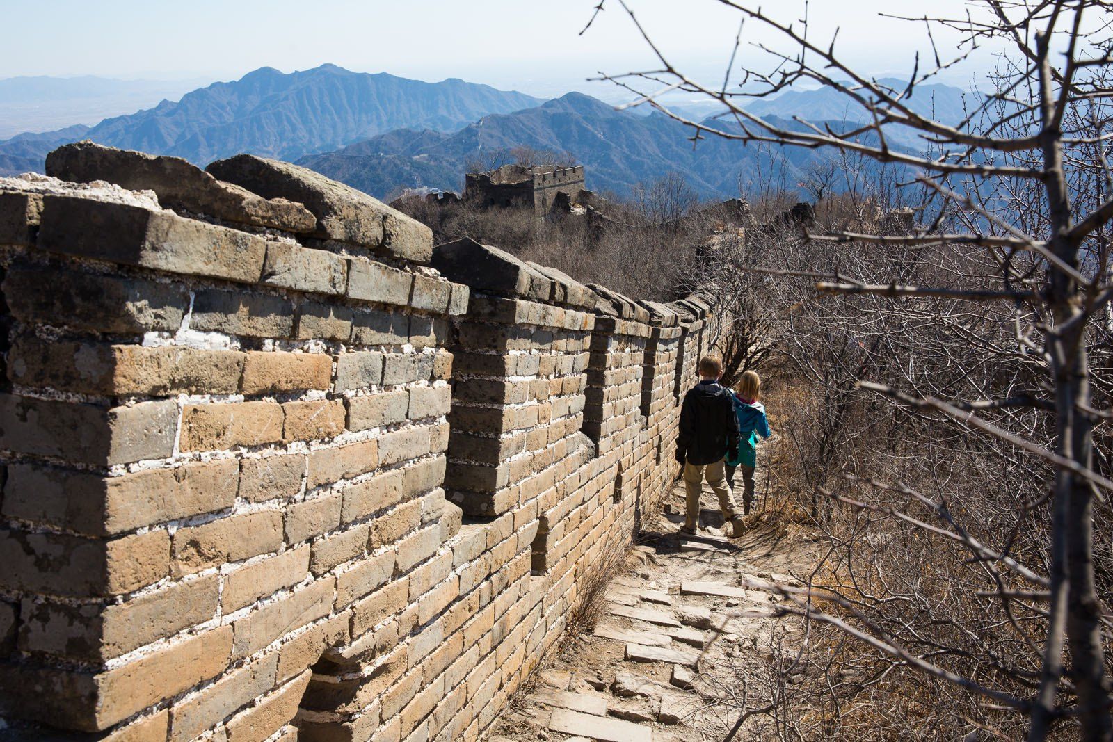
Walking on the unrestored sections is a true adventure. Climb a rickety, wooden ladder to get on the wall, dodge huge potholes and sections crumbling down the mountainside, and look out over China from the watchtowers. The best part was sliding down the steep sections, laughing, falling, all the while being able to enjoy walking on this piece of ancient history.
Hiking Jiankou to Mutianyu on the Great Wall of China
Learn how to hike from Jiankou to Mutianyu, the best way to visit the Great Wall of China.15. King’s Canyon Rim Walk, Australia
Location: Near Uluru, Australia
Distance: 6 km (3.7 miles) | Difficulty: Easy | Time: 2 to 4 hours
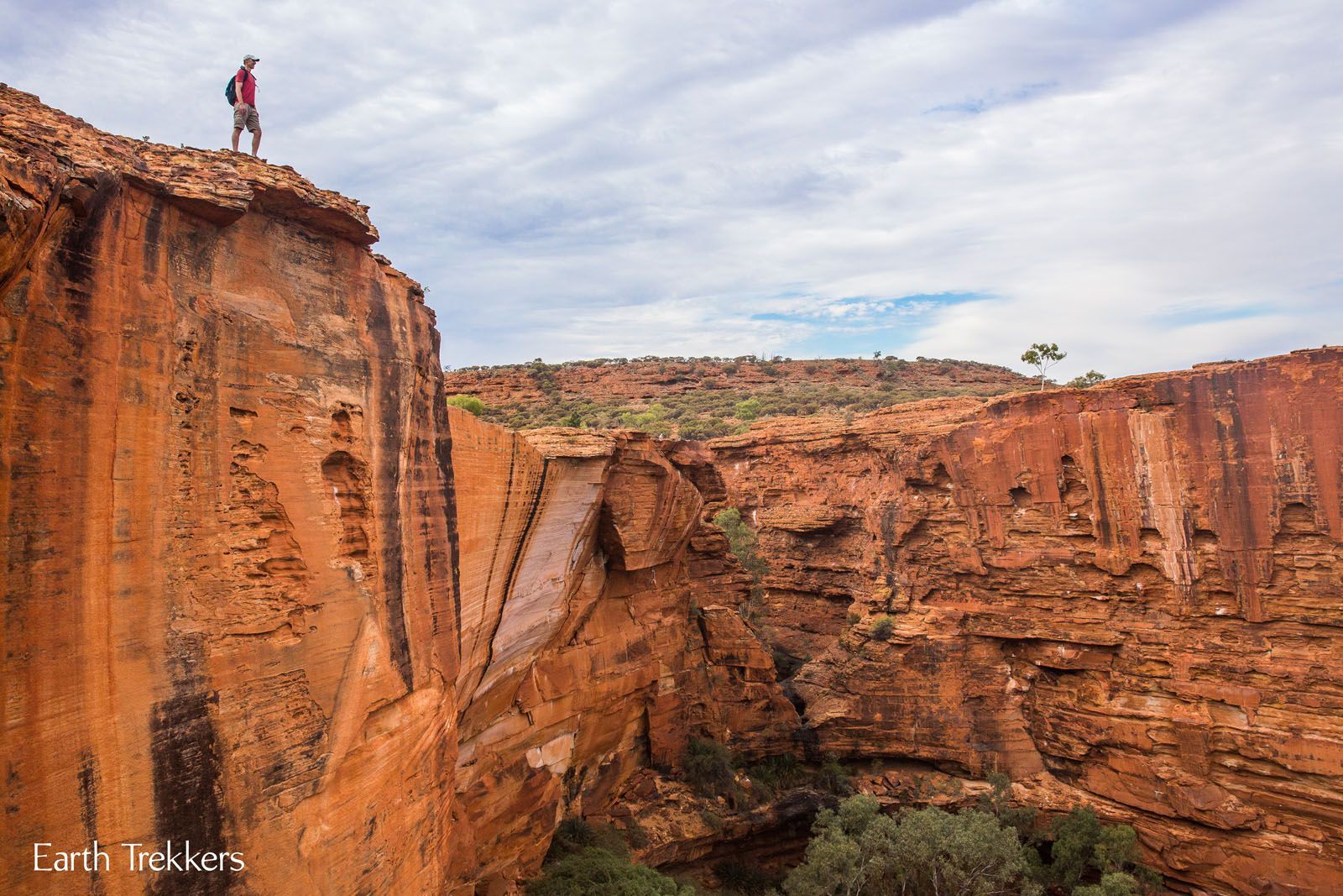
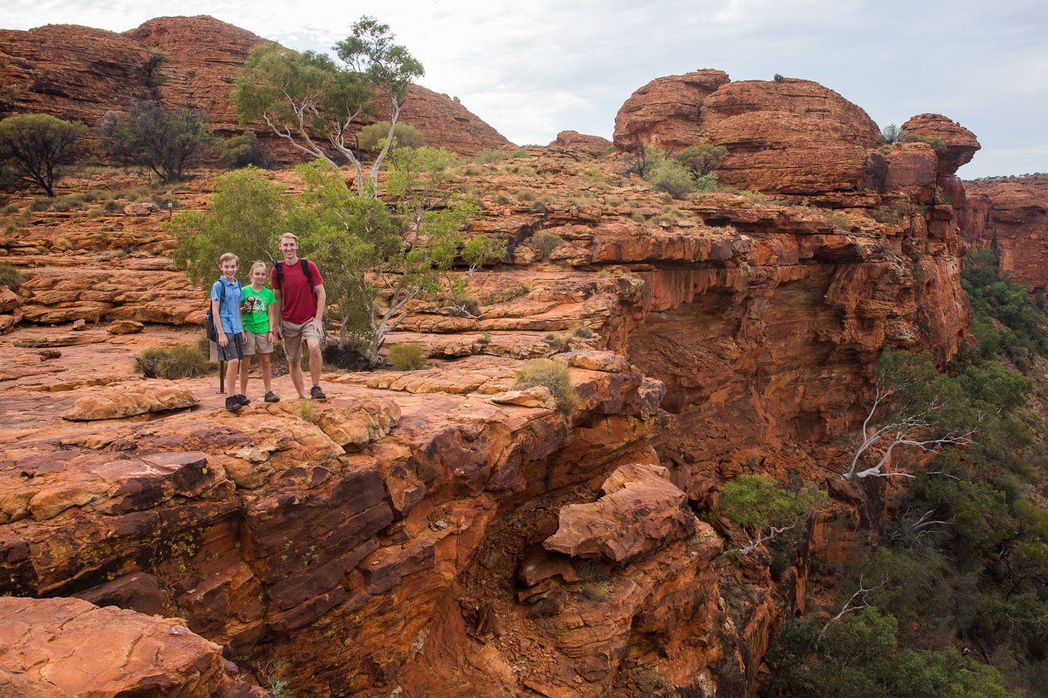
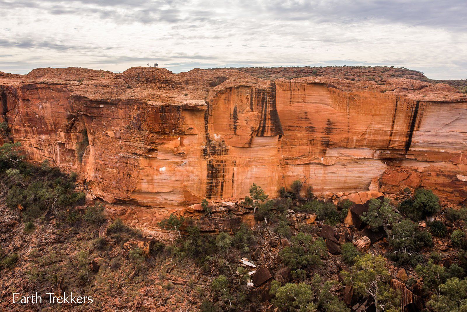
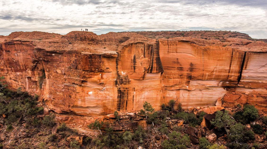
Hiking King’s Canyon is another hike that blew away our expectations. People travel to this area of Australia to visit Uluru. What most people are not aware of is that there is a great hike just a few hours away by car. Being a quick, relatively easy hike, King’s Canyon gives you the biggest bang for your buck in terms of scenery and fun.
How to Hike the Rim Walk at Kings Canyon, Australia
Trail guide for the Kings Canyon Rim Walk in Australia.16. Kjeragbolten
Location: Norway
Distance: 12 km (7.4 miles) | Difficulty: Strenuous | Time: 4 to 6 hours
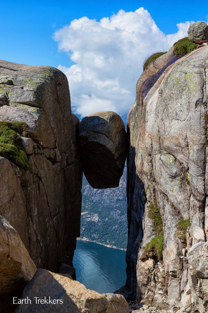
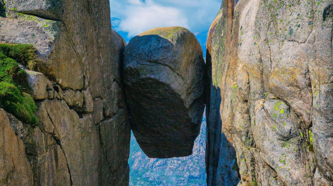
Kjeragbolten
Hiking to Kjeragbolten, this giant boulder wedged between two cliffs, is one of our favorite hikes of all time. Why? It’s not just because you get the chance to do something absolutely crazy, stepping out onto the boulder, it’s also because this hike is just downright fun. From climbing sheer granite faces with the aids of chains, to descending down into valleys inhabited by sheep and their clanging bells, to views out over some of the most spectacular scenery in Norway, this hike is a pure joy.
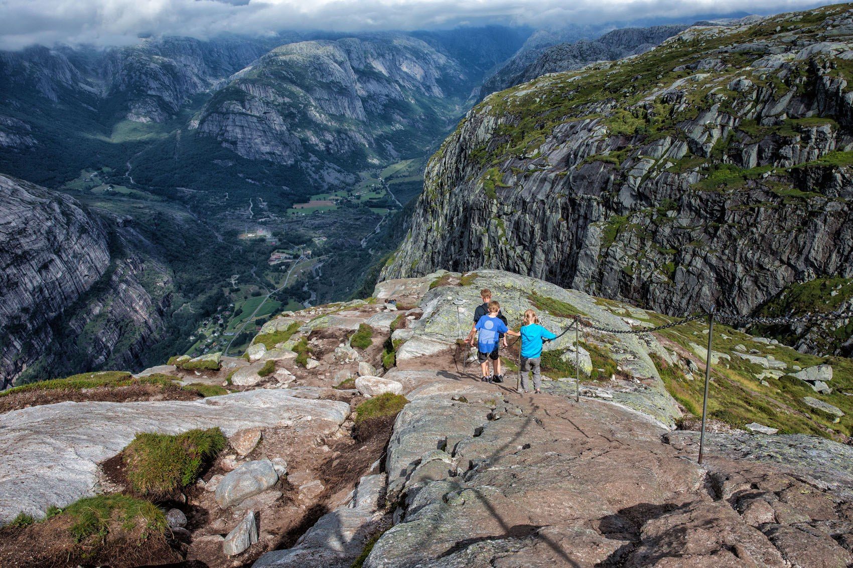
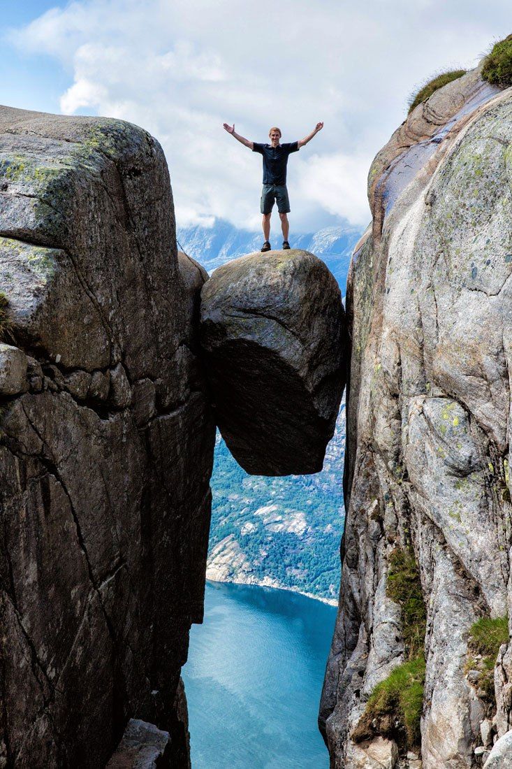
Once at the Kjeragbolten, do you dare step out onto it?
This boulder sits 1000 meters off of the ground. That’s a long way down. And what a cool collection of photographs you will have at the end of the day.
How to Hike to Kjeragbolten: The Complete Guide
Everything you need to know to hike Kjeragbolten: logistics, trail stats, and lots of photos so you know exactly what to expect.17. Routeburn Track
Location: South Island of New Zealand
Distance: 32 km (20 miles) | Difficulty: Strenuous | Time: 9 to 14 hours as a day hike
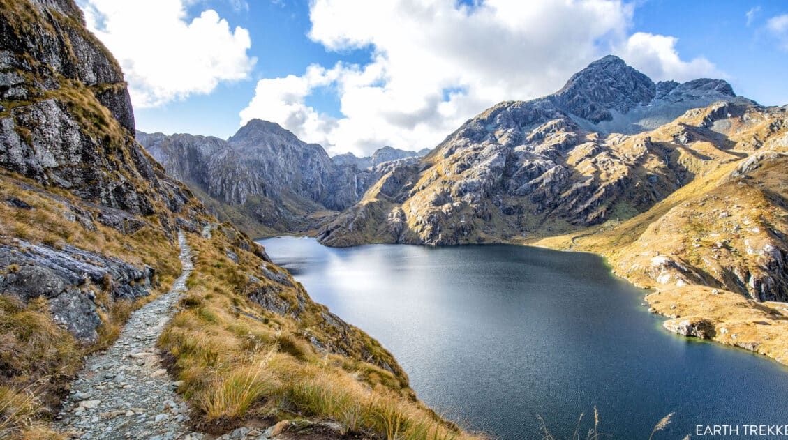
Like the Grand Canyon rim-to-rim hike, the Routeburn Track can be done as a multi-day backpacking trip or as one massive day hike.
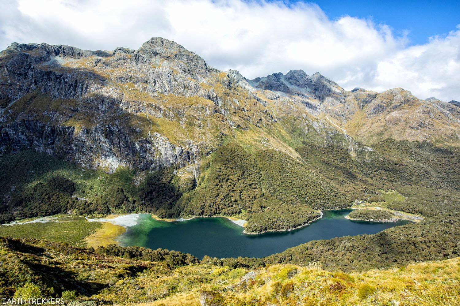
Lake Mackenzie on the Routeburn Track
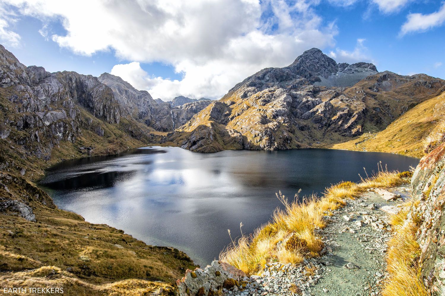
Lake Harris
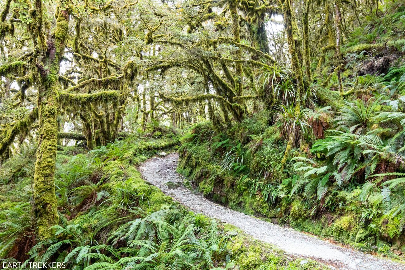
The Routeburn Track is considered one of the best hikes in New Zealand. This trail will take you through lush mossy forests, across rivers, streams, and swing bridges, past pristine alpine lakes, past more waterfalls than you can count, and to jaw dropping vistas of mountains, glaciers, and valleys.
It is a point-to-point hike that connects Fiordland National Park and Mount Aspiring National Park, two gorgeous parts of New Zealand’s South Island. Both parks include portions of the Southern Alps.
Hiking the full length of the Routeburn Track is typically done in two to three days by overnighting at the huts or campsites along the track. But if you are fit and fast, it is possible to go the entire distance in one day.
Exactly How to Hike the Routeburn Track in One Day
The ultimate guide to hiking the Routeburn Track in one day.18. Landmannalaugar
Location: Iceland
Distance, difficulty, and amount of time varies depending on the trail.
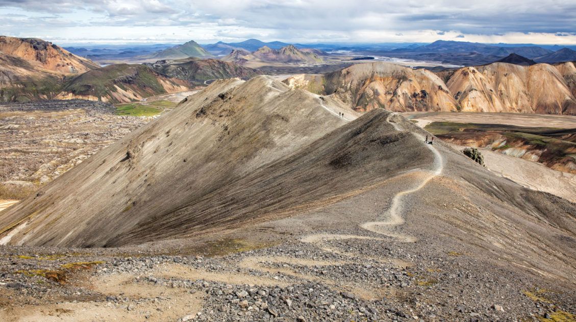
Landmannalaugar is an area in Iceland that is famous for its colorful rhyolite mountains and epic day hikes. Geothermal hot springs, lava fields, and unique hiking trails attract adventurous travelers all summer long.
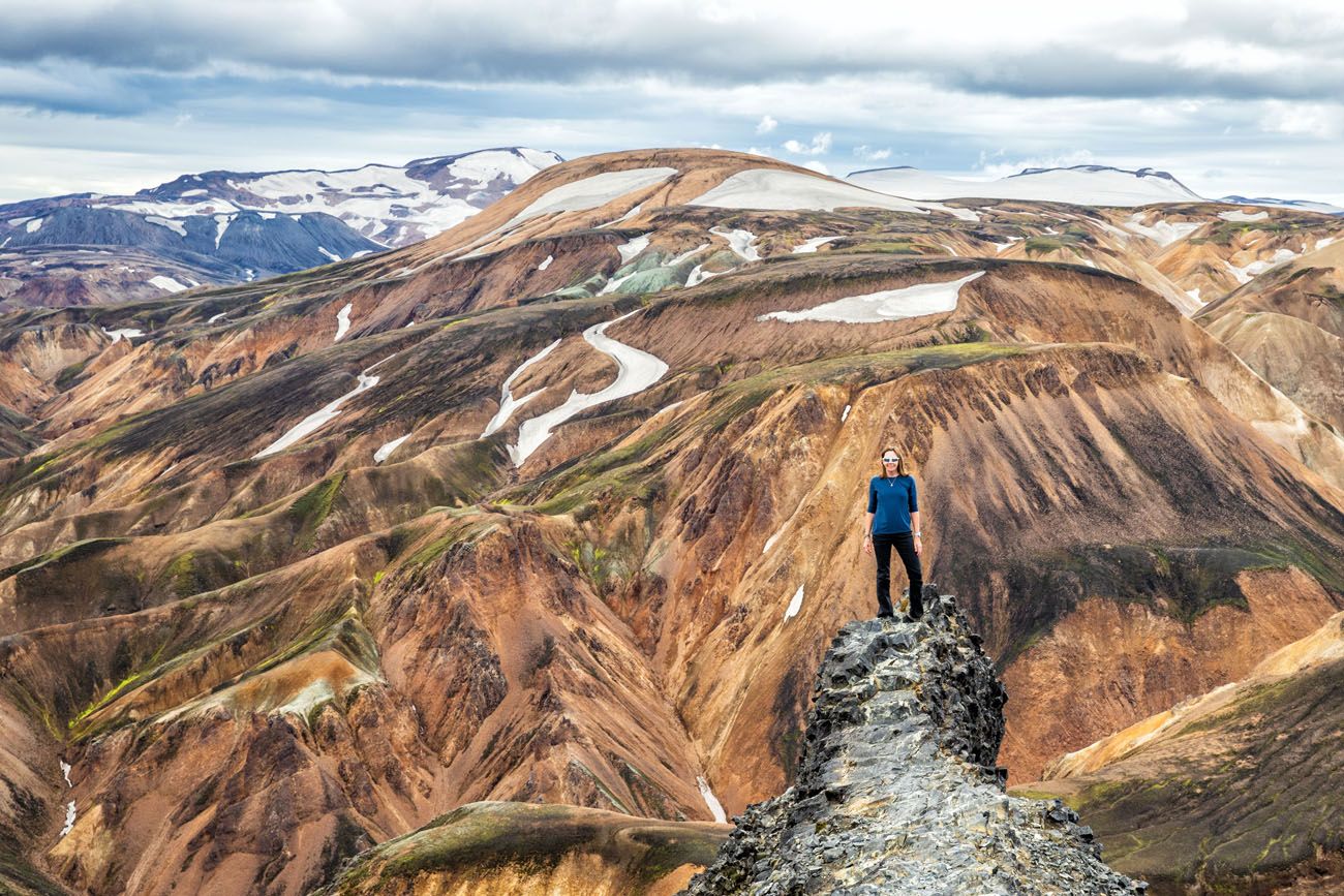
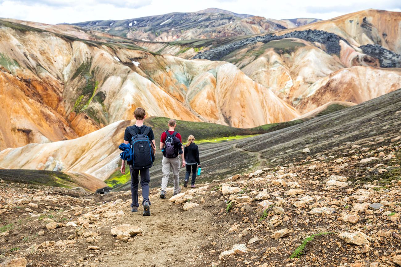
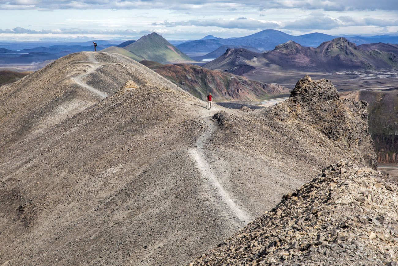
Landmannalaugar is one of Iceland’s best areas for day hikes. Take your pick from short, easy trails or tougher climbs up ancient volcanos for panoramic views over the region.
Our favorite hike is the Blahnúkúr Brennisteinsalda Loop. Walk through the lava fields, past steaming fumaroles, and summit two peaks for unbelievable views over Landmannalaugar.
Hike the Blahnúkúr Brennisteinsalda Loop, Landmannalaugar, Iceland
The Blahnúkúr Brennisteinsalda Loop is the best day hike in Landmannalaugar. Here’s how to do it.19. Robberg Peninsula
Location: Garden Route of South Africa
Distance: 9.2 km (5.7 miles) | Difficulty: Easy | Time: 4 to 5 hours
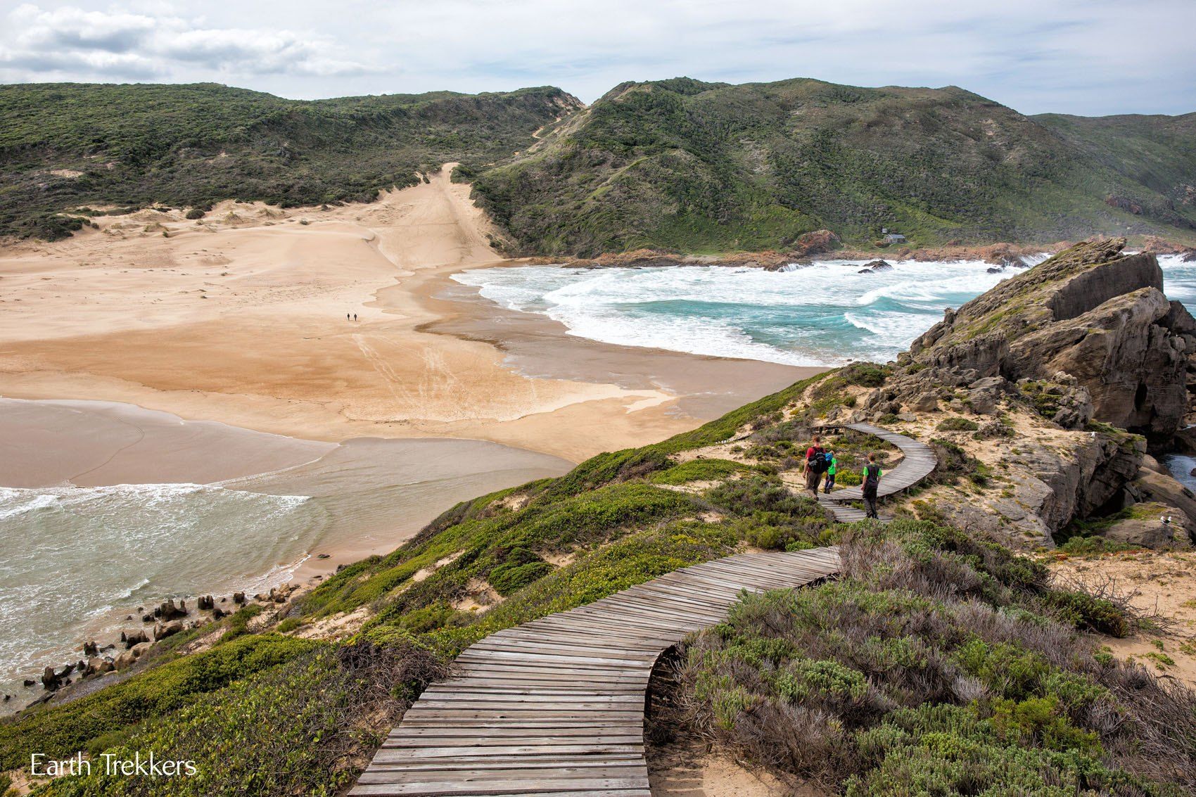
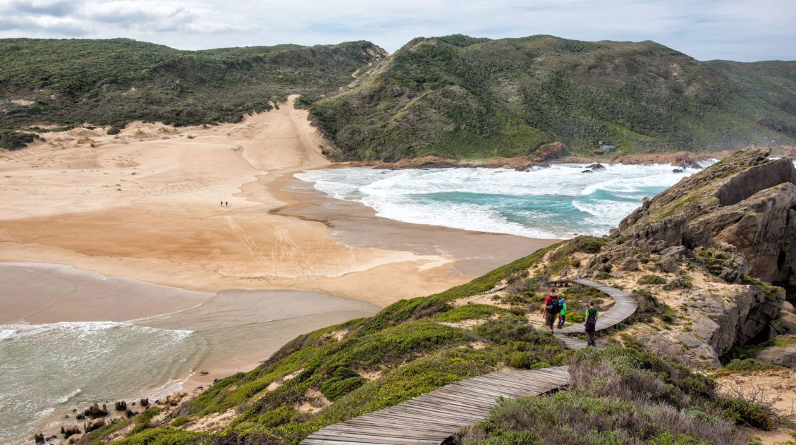
For a hike with always changing terrain and views, this one is perfect. For us, this hike was unexpectedly awesome.
Located in Plettenberg Bay, South Africa, this is a round trip hike around the Robberg Peninsula. Along the way you will have views over the peninsula, watch (and smell) the seals playing by the water’s edge, hike along a rocky coastline, and then walk across a peninsula of sand. Your timing has to be right to walk out across the sand peninsula, since is gets swallowed up for a few hours by high tide.
Hiking Robberg Peninsula in South Africa
How to hike Robberg Peninsula, Garden Route, South Africa.20. Aconcagua Base Camp
Location: Argentina
Distance: 16 km (10 miles) | Difficulty: Moderate | Time: 4 to 6 hours
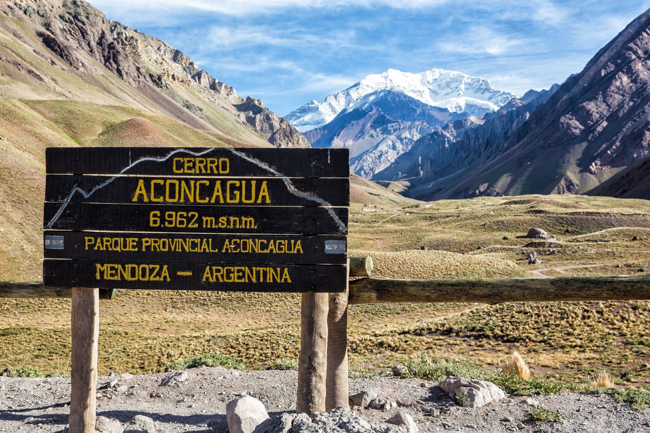
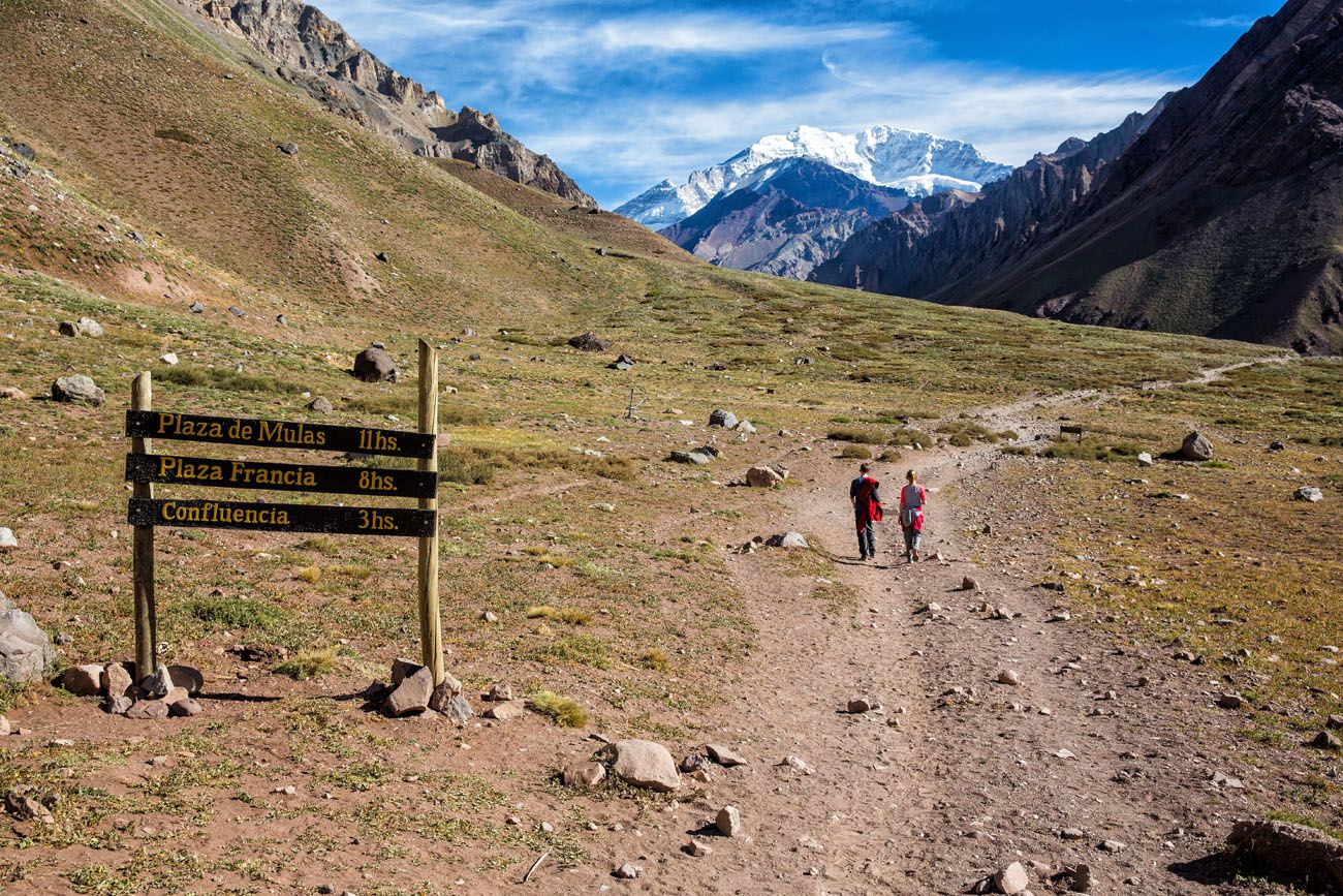
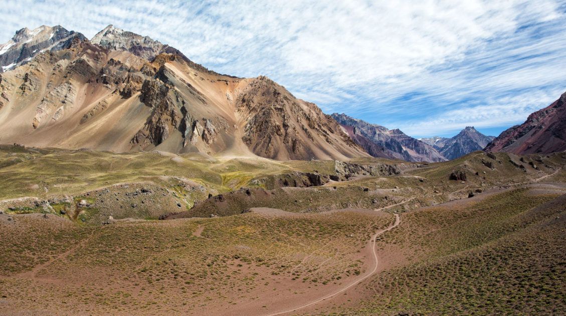
Mount Aconcagua is the tallest mountain in the world outside of Asia. Many people travel to Mendoza, Argentina, to go on mountaineering expeditions to summit Mt. Aconcagua (a journey that takes 18 to 20 days). For those who do not want to go mountaineering, there are shorter treks available to go hiking in the Andes mountains in Argentina.
The shortest hike is the day hike to Confluencia, the first Aconcagua base camp. The hike out and back to Confluencia is gorgeous, with views of Aconcagua and the amazing Andes Mountains.
Hiking to Confluencia, the First Aconcagua Base Camp
Everything you need to know to hike to Confluencia, the first Aconcagua Base Camp.Do you have a favorite day hike in the world that you did not see on this list? Leave a comment below and let us know what you think are the best day hikes in the world!
More Hikes from Around the World



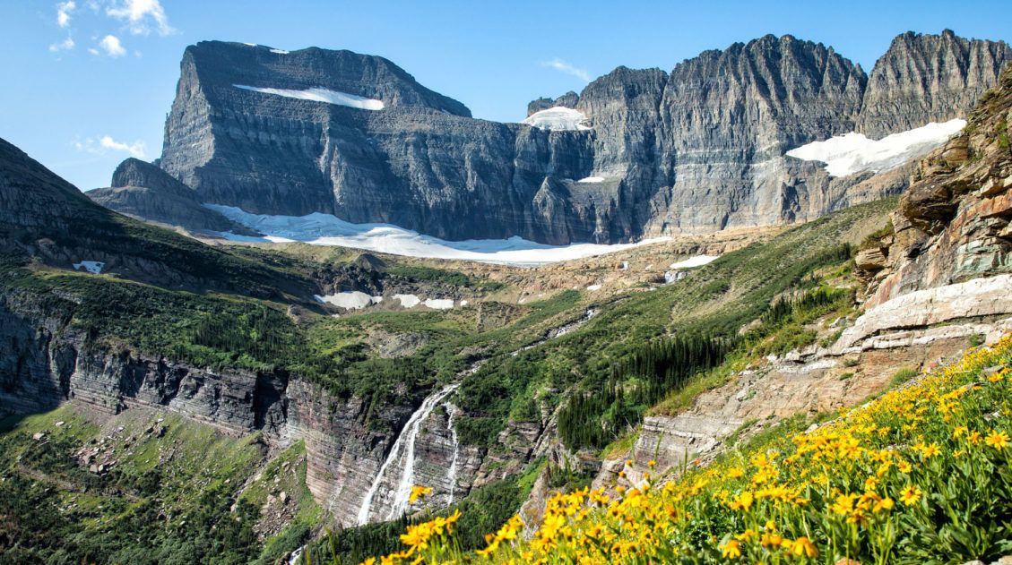
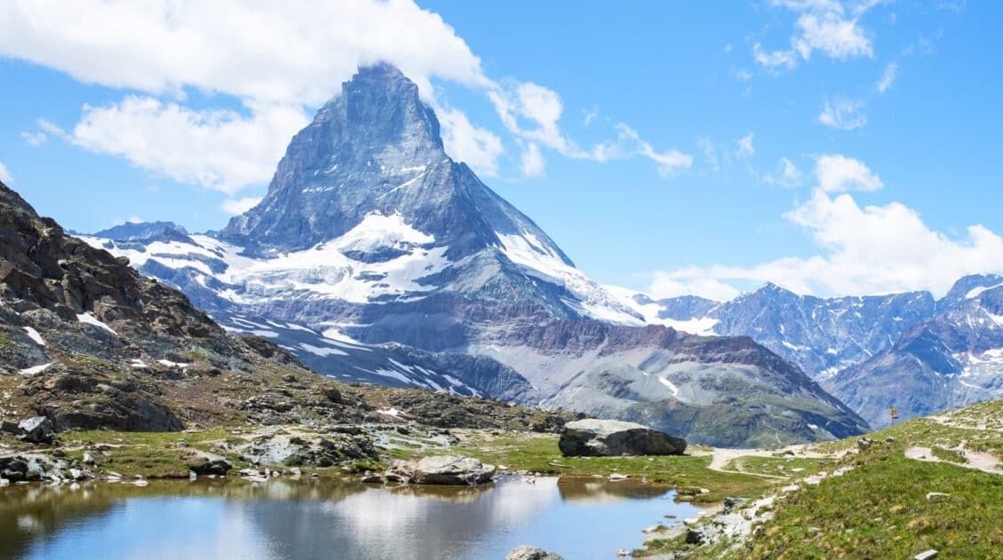
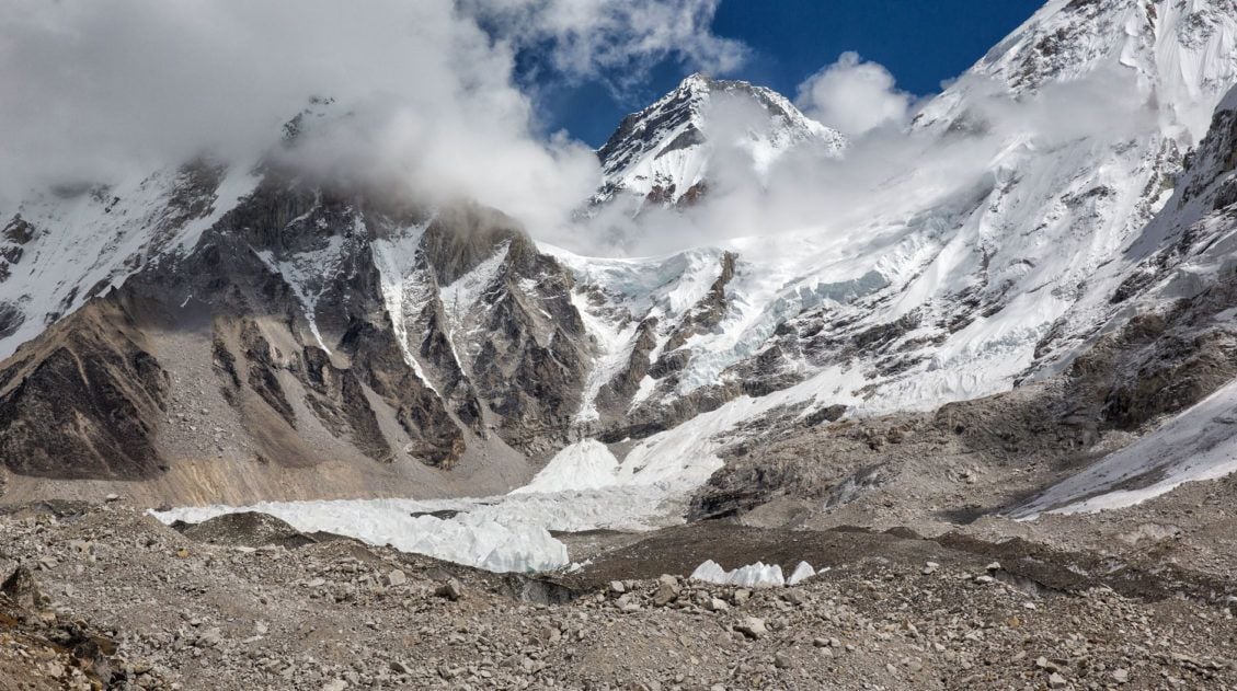
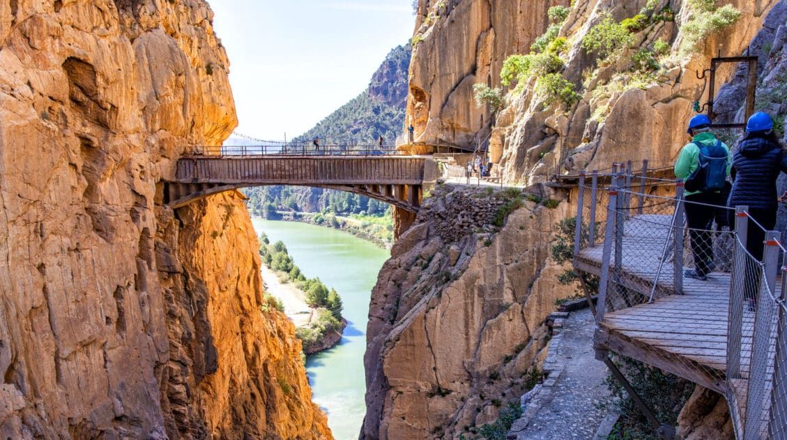
I love hiking and I usually go hiking in the mountains of Gilgit Baltistan. This is the place where the K2 World Second Highest Mountain is located.
But when I saw the images, you shared in this blog there was an enormous difference between the mountains. These pictures really look great and beautiful. I wish to hike in such mountains one day.
You shold visit El Chalten before you can make that kind of list. I have been in all of this places and the best day hike i have ever been to is laguna de los tres. In the right whether it’s definitely one of (if not the) most beautiful day hike
Nice list. Would be good to include a few from Himalayas. No grander mountain landscape than those…..like the Everest Base Camp or Annapurna circuit
We have done the Everest Base Camp trek and loved it, but since it is a multi-day trek, not a day hike, did not include it on this list. Cheers, Julie