Big Bend National Park is a hiker’s paradise. Hiking trails crisscross their way through the Chihuahuan Desert, along hot springs and the Rio Grande, and up and over the Chisos Mountains. Take your pick from short, easy strolls to off-the-beaten-path adventures to challenging mountain summits. Here are 15 of the best hikes in Big Bend National Park.
This list is organized by geographical location. Big Bend is large national park with three distinct areas: Chisos Basin, the Ross Maxwell Scenic Drive region, and the Rio Grande Village.
Note: All hiking distances are round trip.
Best Hikes in Big Bend National Park
Hikes in Chisos Basin
Chisos Basin is one of the most beautiful areas of Big Bend National Park. Rugged, rocky mountains rise up out of the desert. Sitting within this mountain range is the Chisos Basin Village and visitor center. From this point, you can start several epic hikes in Big Bend.
I also include the Balanced Rock hike on this list, since it is just a short drive from Chisos Basin.
IMPORTANT: Starting May 2025, Chisos Basin will be closed for a construction project. This closure could affect some of the trails listed below. Get full details on the National Park Service website.
Lost Mine Trail
The Lost Mine Trail is one of the most popular hikes in the park. Most of the hike is an unexciting, steady uphill walk, with occasional views across the Chisos Mountains. However, once at the top, the views really open up. Your reward is a panoramic view over the mountains and valleys of Big Bend National Park.
We did this during a rain shower but on a sunny day I imagine that the views would be spectacular!
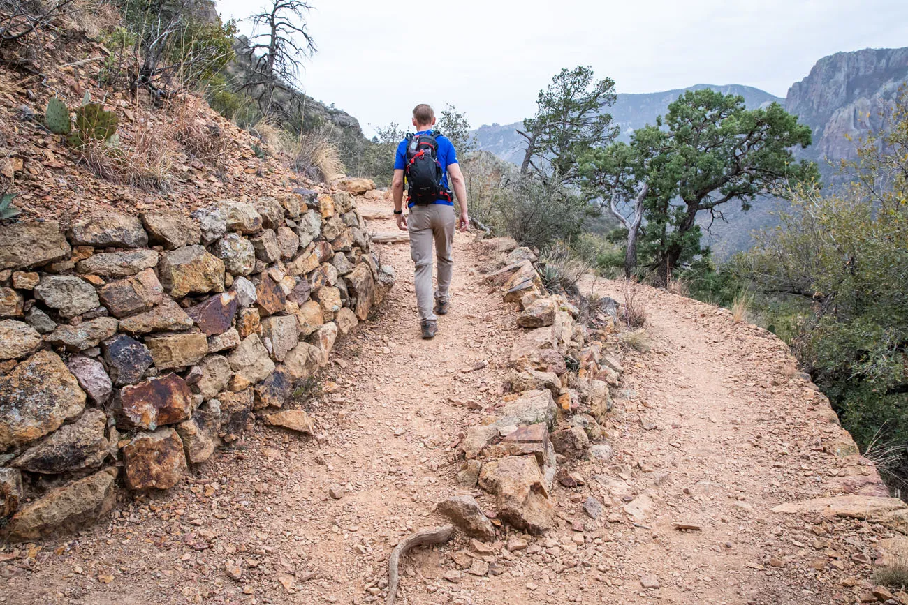
Lost Mine Trail | Best Hikes in Big Bend
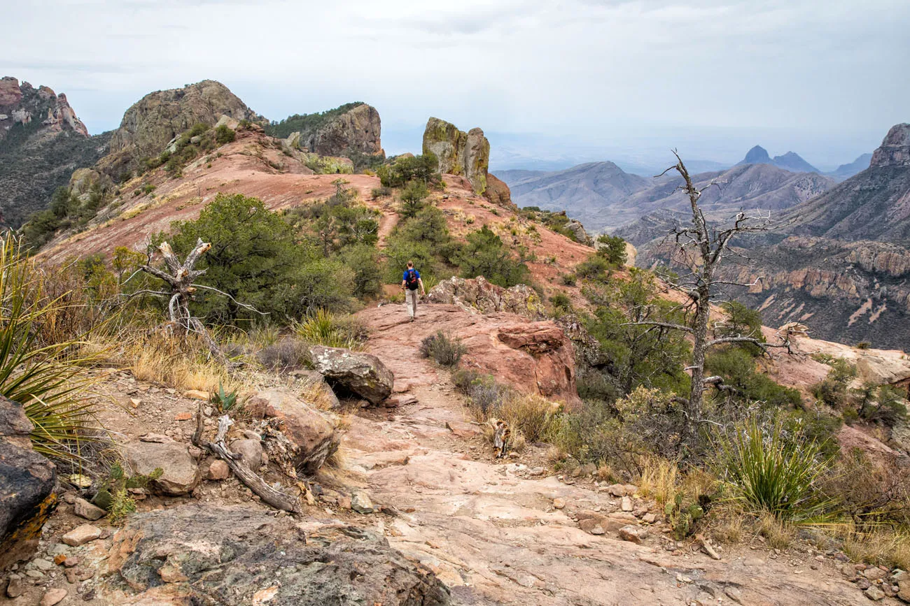
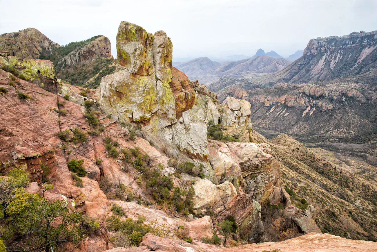
View from the Lost Mine Trail
Lost Mine Trail Hiking Stats
Distance: 4.8 miles
Total Ascent: 1,224 feet
Difficulty: Moderate
Length of Time: 2.5 to 3.5 hours
Trailhead: There is a small parking lot on Basin Junction Road, one mile before you reach the Chisos Basin Village. This parking lot can only fit about 20 cars, so get here early (sunrise is ideal) to make sure you get a space.
Window View Trail
This is the easiest “hike” on this entire list. A 0.3-mile paved path leads to a viewpoint of the Window, a cut-out in the Chisos mountain range that is one of the best sunset points in the park. Expect big crowds at sunset.
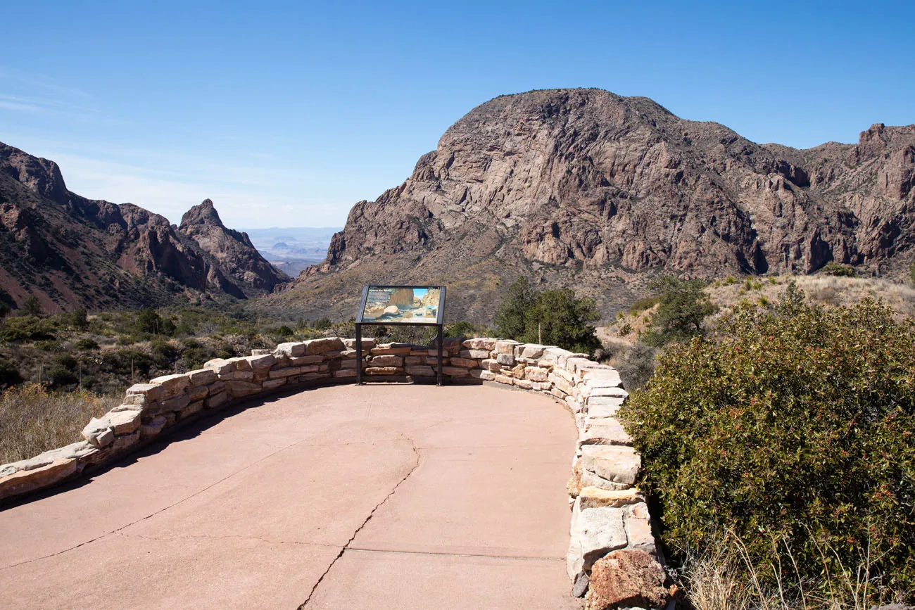
Window View Trail | Best Hikes in Big Bend
Window View Trail Hiking Stats
Distance: 0.3 miles
Difficulty: Easy
Length of Time: 20 minutes
Trailhead: Chisos Basin parking lot
Window Trail
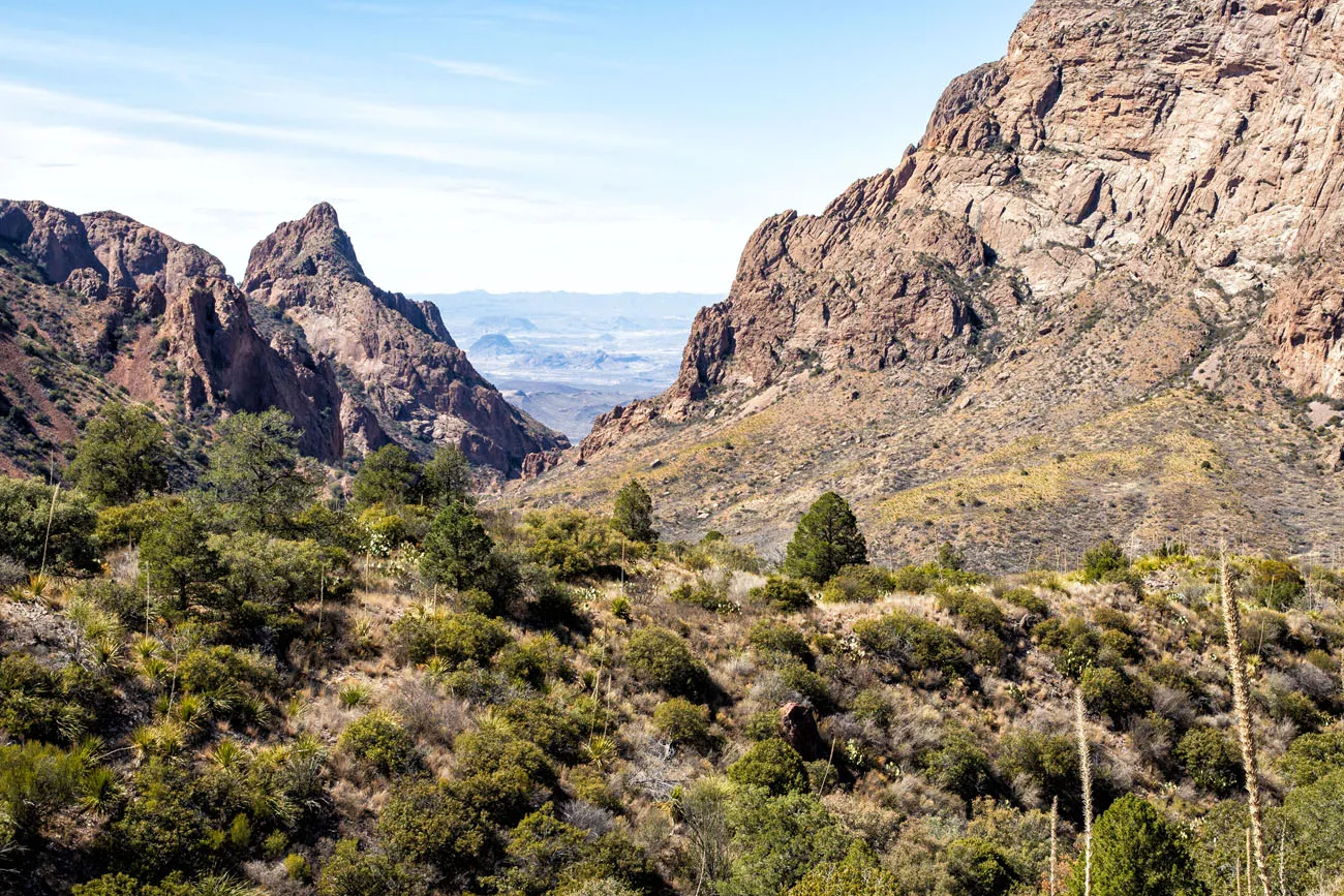
Not to be confused with the Window View Trail, the Window Trail is a moderately strenuous hike that ends at the Window. From here, you have stunning views of Big Bend National Park.
It’s a downhill walk to the Window pour-off, so expect a longer, more difficult walk to get back to the Chisos Basin parking lot.
Window Trail Hiking Stats
Distance: 5.6 miles
Difficulty: Moderate
Length of Time: 3 to 4 hours
Trailhead: Chisos Basin parking lot
Chisos Basin Loop
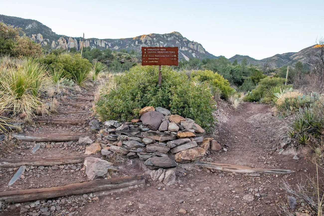
This loop hike weaves its way through the Chisos Basin valley. You will hike in and out of a forest of oak, juniper, and Mexican pine with occasional views of the mountains that surround the basin. If you have plans to hike to the South Rim or Emory Peak, the hike will start on this same trail. Beware of bear and mountain lion.
Chisos Basin Hiking Stats
Distance: 1.8 miles
Difficulty: Easy to moderate
Length of Time: 1 to 2 hours
Trailhead: Chisos Basin parking lot
Emory Peak
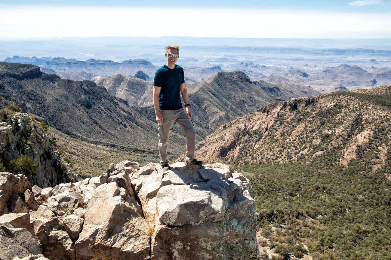
Emory Peak is the highest peak in the Chisos Mountains and Big Bend National Park. It’s a tough hike but the view over the park is unbeatable.
Emory Peak | Best Hikes in Big Bend
There are two different ways to do this hike. The quickest and most direct way is to hike out-and-back to Emory Peak from the Chisos Basin Visitor Center. Option #2, a full day adventure, is to hike the South Rim Trail and add on the detour to Emory Peak.
Emory Peak Hiking Stats
Distance: 10.4 miles
Total Ascent: 2440 feet
Difficulty: Strenuous
Length of Time: 5 to 7 hours
Trailhead: Chisos Basin parking lot
LEARN MORE: How to Hike Emory Peak
South Rim Trail
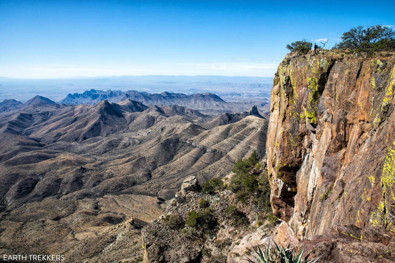
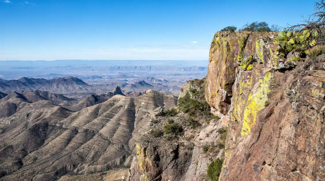
The South Rim Trail is one of the best ways to experience Big Bend National Park. Starting in the Chisos Basin, you will steadily climb up to the South Rim, where jaw-dropping views of the Chihuahuan Desert await. Add on the short but steep climb up Emory Peak for an even more epic experience.
South Rim Trail | Best Hikes in Big Bend
South Rim Trail Hiking Stats
Distance: 12.6 miles
Total Ascent: 2,800 feet
Difficulty: Strenuous
Length of Time: 6 to 8 hours
Trailhead: Chisos Basin parking lot
Emory Peak adds 3 miles and 1.5 hours onto this hike, bringing the grand total distance to 15.6 miles.
Get all of the details on how to do this hike in our post How to Hike the South Rim Trail.
Balanced Rock (Grapevine Hills Trail)
We loved this hike!! It’s short, it’s relatively easy, there is a brief section of rock scrambling that is fun for kids and adults, and it features one of the most unique rock formations in the park.
To get here, you will drive 6.3 miles on a well-maintained gravel road named Grapevine Spring. Park at the small parking lot and hike the Grapevine Hills Trail until you get to Balanced Rock.
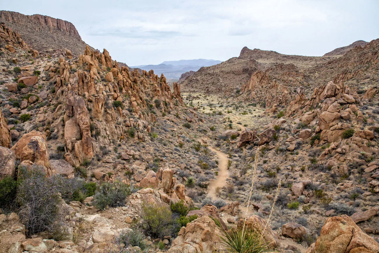
Grapevine Hills Trail | Best Hikes in Big Bend
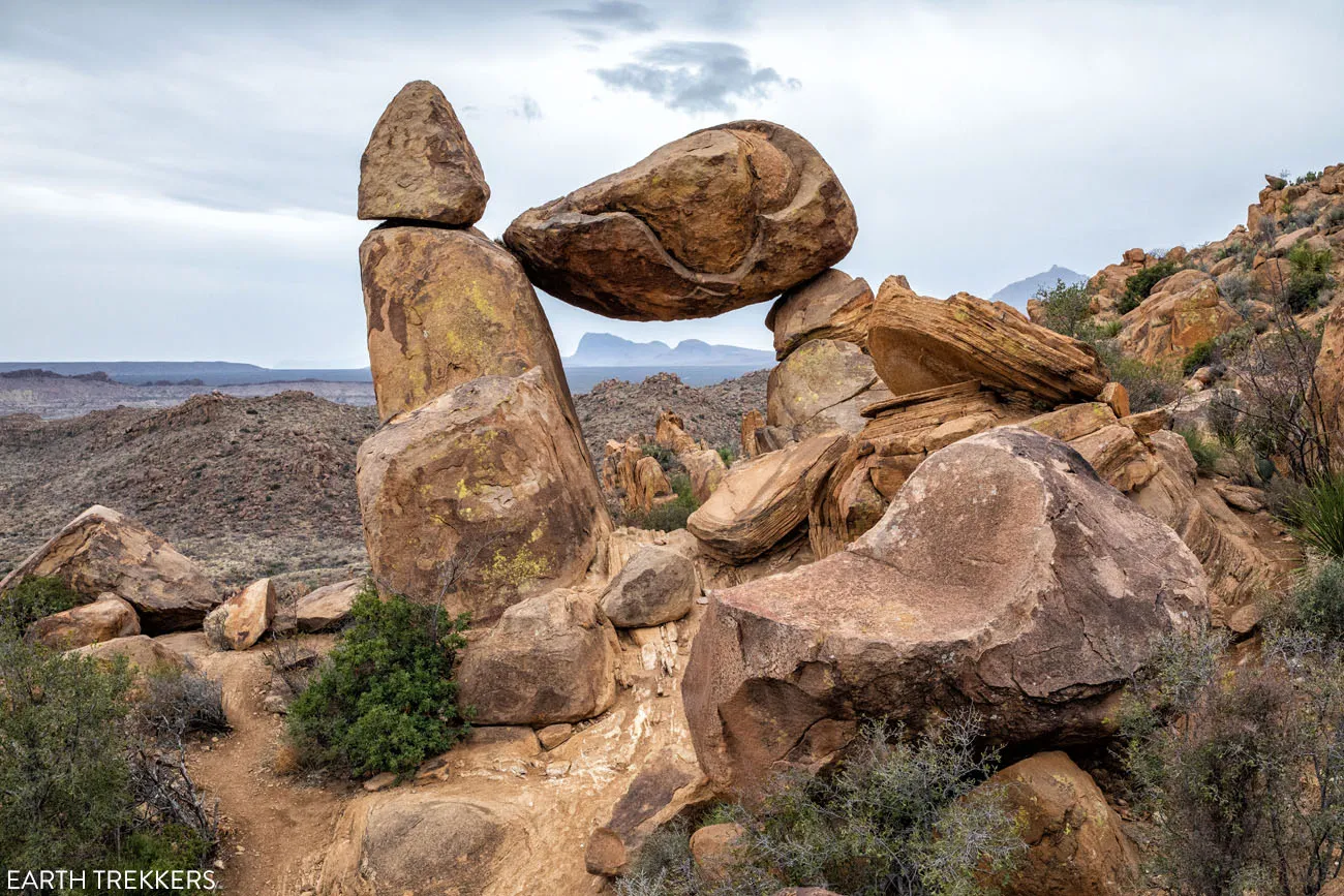
Balanced Rock
Note: This road is suitable for standard cars, however, an SUV or a vehicle with high ground clearance is ideal. The final two miles of this road is very rough. We saw a minivan and a standard car on this road and they were doing just fine, but they had to take things very slowly.
Balanced Rock Hiking Stats
Distance: 2.2 miles
Total Ascent: 311 feet
Difficulty: Easy to moderate
Length of Time: 1 to 2 hours
Trailhead: Grapevine Spring Road
LEARN MORE: Balanced Rock: A Short But Sweet Hike in Big Bend
Ross Maxwell Scenic Drive
Ross Maxwell Scenic Drive is a 30-mile road through some of the most beautiful landscapes in Big Bend National Park. Even if you never got out of your car, this is still one of the best experiences in the park.
This drive starts at Panther Junction Drive and ends at Santa Elena Canyon. Along the way, there are several overlooks and hiking trails if you want to stretch your legs and venture farther into the park.
Santa Elena Canyon
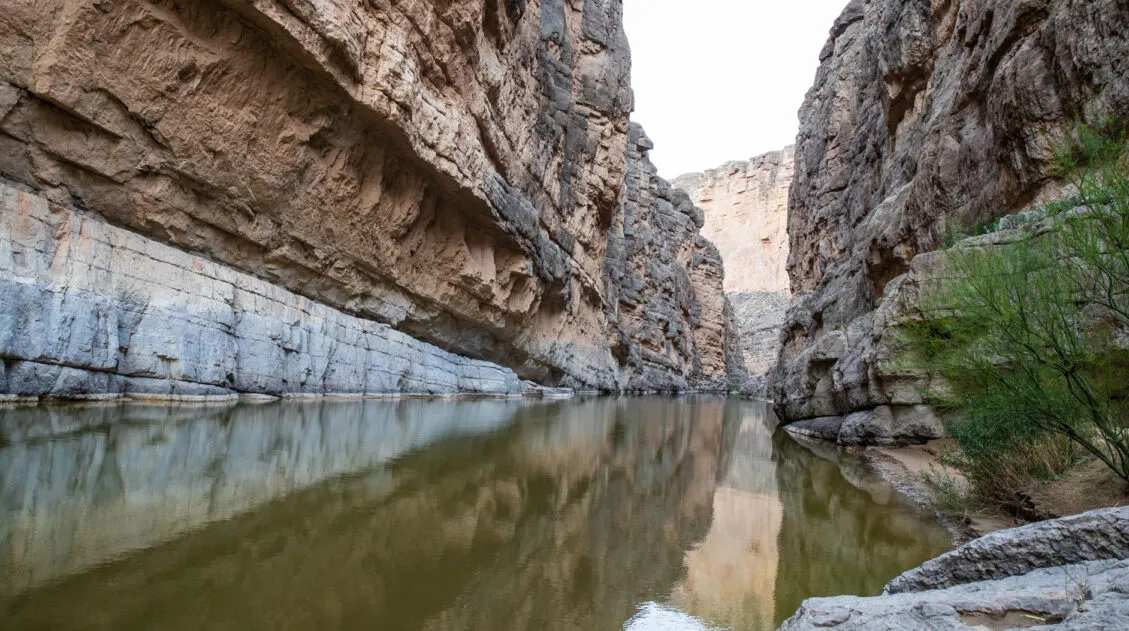
This is one of the best hikes in Big Bend National Park. It’s short, it’s easy, and this is the best up-close experience with the Rio Grande.
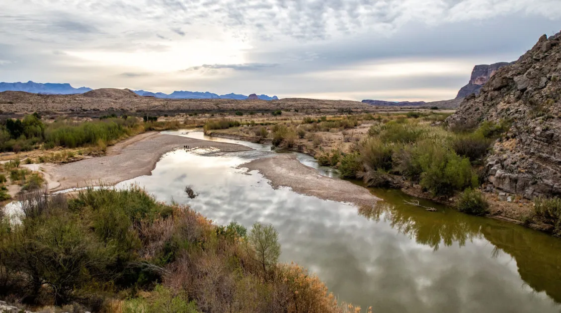
For most of this hike, you walk along the edge of the river. There is one brief climb but it’s worth it…the views over the Rio Grande are breathtaking. The trail ends at a beautiful view into the Santa Elena Canyon.
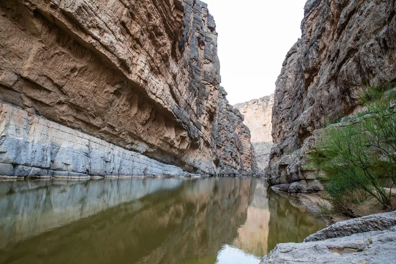
Santa Elena Canyon
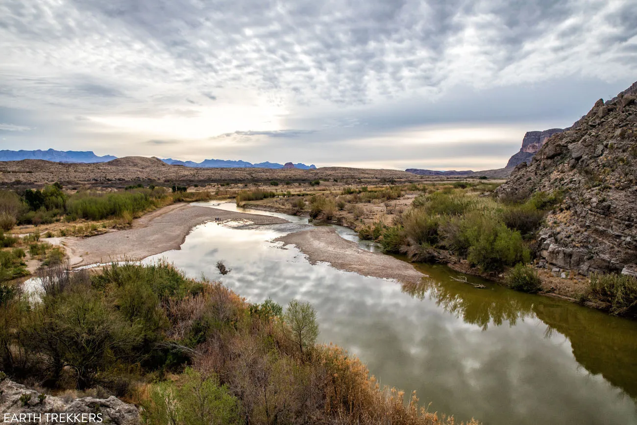
View from the Santa Elena Canyon Trail | Best Hikes in Big Bend
If you want to explore further, consider taking a canoe trip through Santa Elena Canyon.
Santa Elena Canyon Hiking Stats
Distance: 1.7 miles
Difficulty: Easy
Length of Time: 1 to 2 hours
Trailhead: The endpoint of the Ross Maxwell Scenic Drive
Tuff Canyon
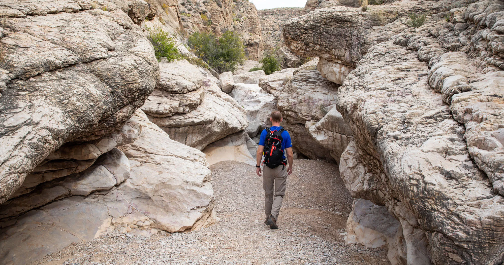
This super easy stroll offers views of Tuff Canyon. You can walk the short loop to overlooks of the canyon, or, take the spur trail and walk through the canyon.
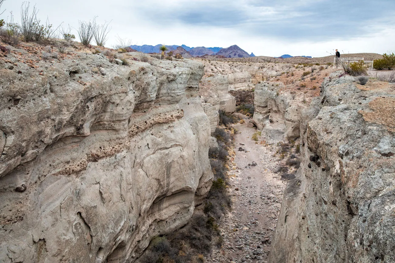
Tuff Canyon | Best Hikes in Big Bend
Tuff Canyon Hiking Stats
Distance: 0.75 miles
Difficulty: Easy
Length of Time: 30 minutes
Trailhead: Tuff Canyon Overlook on Ross Maxwell Scenic Drive
Mule Ears Spring Trail
The Mule Ears are a unique rock formation that looks like, you guessed it, mule ears. You can see the Mule Ears from an overlook along Ross Maxwell Scenic Drive but for a closer view, hike the Spring Trail. This trail ends a spring, so it does not take you all of the way to the Mules Ears.
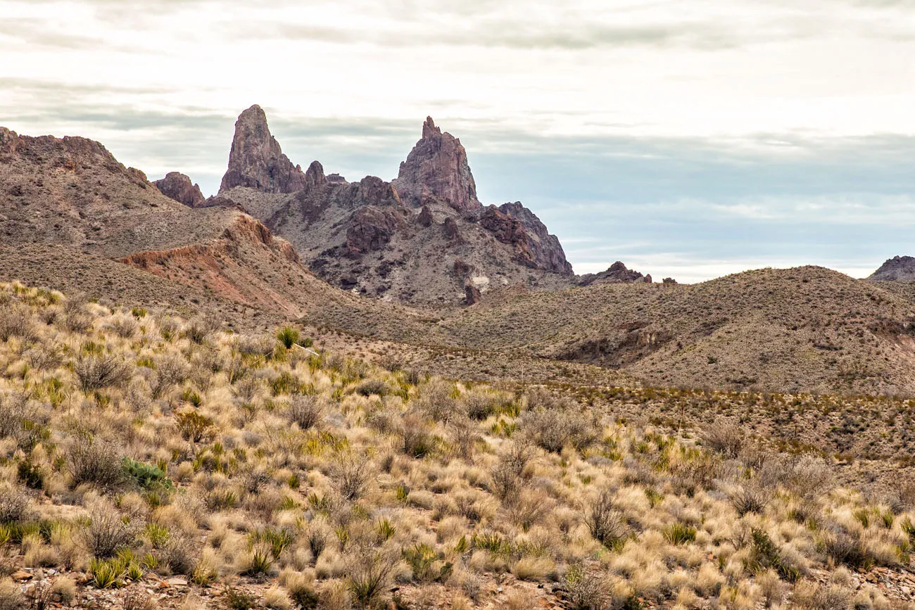
Mules Ears Hiking Stats
Distance: 3.8 miles
Difficulty: Moderate
Length of Time: 2 to 3 hours
Trailhead: Mule Ears Overlook parking lot
Lower Burro Mesa Pour-Off
This pretty like hike wanders through a large canyon, ending at the base of a giant cliff. At the end of the trail, you are standing at the base of Burro Mesa and the spot where the water pours off of the cliff during rainstorms.
This is an easy, mostly flat hike, but part of the trail is through gravel and sand, which can make walking feel more difficult in these sections.
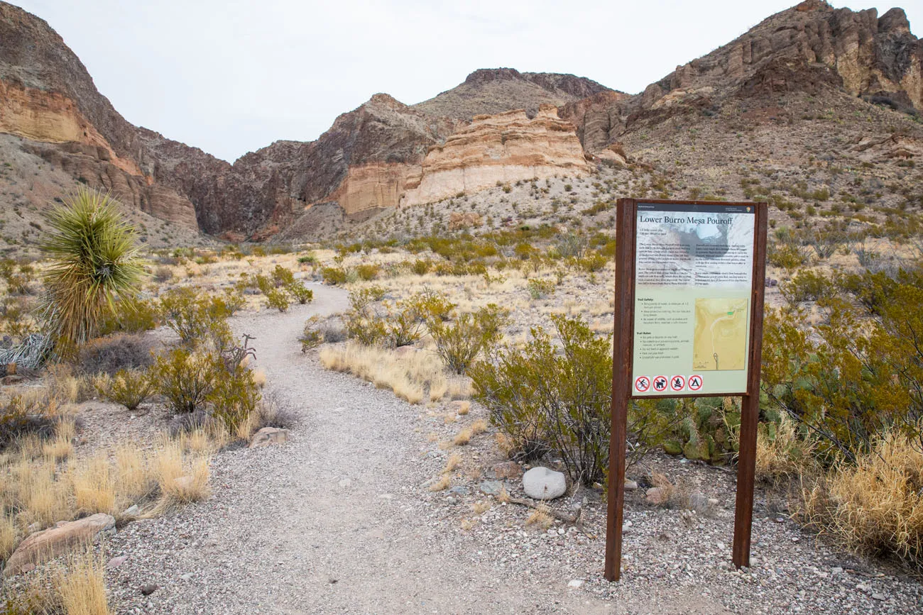
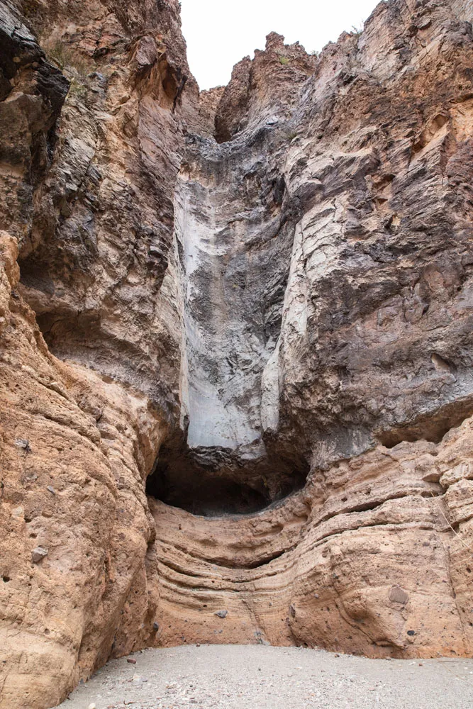
Lower Burro Mesa Hiking Stats
Distance: 1 mile
Difficulty: Easy
Length of Time: 45 minutes
Trailhead: The end of Burro Mesa Spur Road

Rio Grande Village
The Rio Grande Village is located at the far eastern side of Big Bend National Park. This area is well-known for its hot springs, views of the Rio Grande, and the opportunity to cross the Rio Grande, in order to visit the Mexican town Boquillas del Carmen.
Hot Springs Historic Trail
This short, easy hiking trail takes you to the 105°F hot springs, one of the most popular things to do on this side of Big Bend National Park.
Hot Springs Hiking Stats
Distance: 1 mile
Difficulty: Easy
Length of Time: 30 minutes, longer to relax in the hot springs
Trailhead: Hot Springs parking lot
Rio Grande Village Nature Trail
This short hiking trail loops through a marshy area on the edge of the Rio Grande. This is a great place for wildlife viewing, with the chance to see fish and birds.
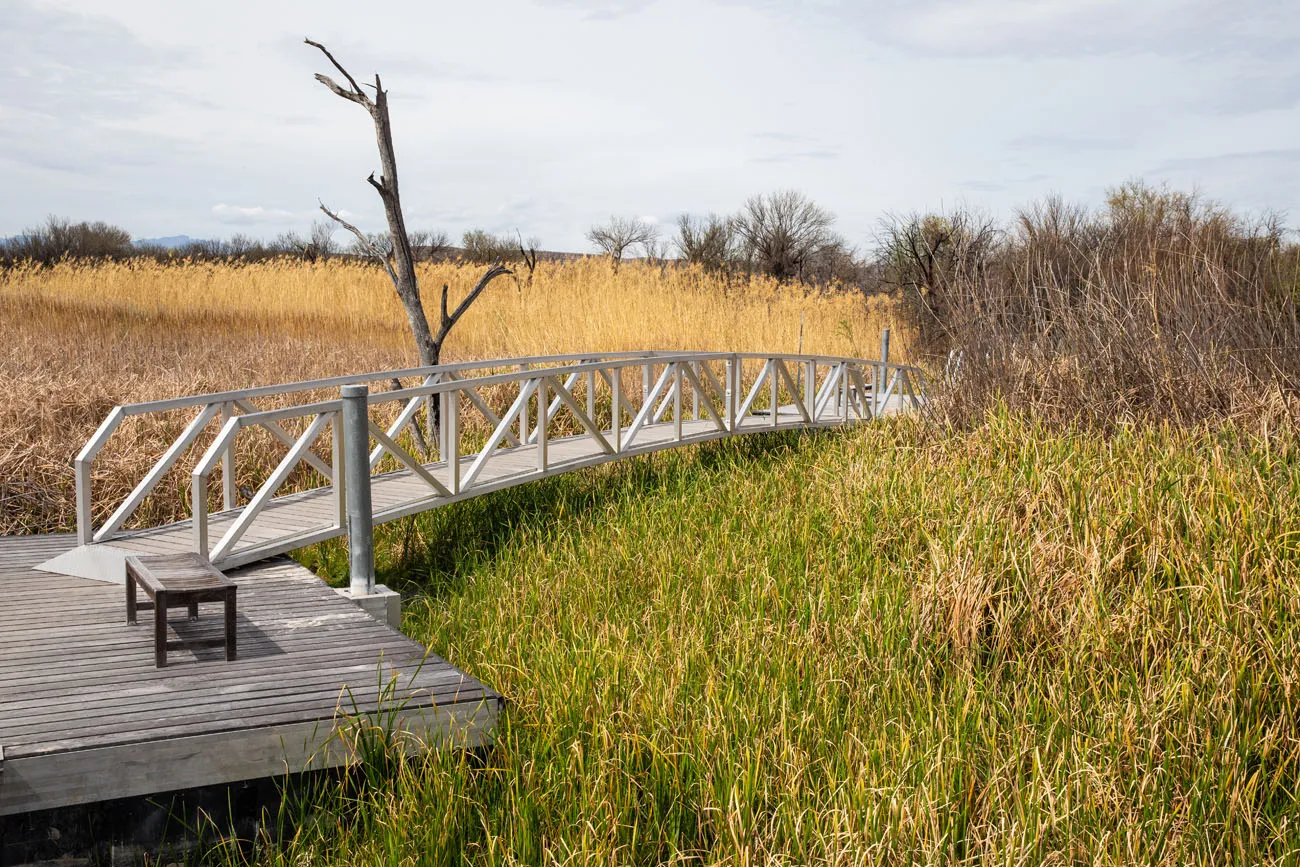
Rio Grande Nature Trail Hiking Stats
Distance: 0.75 mile
Difficulty: Easy
Length of Time: 30 minutes
Trailhead: Rio Grande Village campground
Boquillas Canyon Trail
This trail is similar to Santa Elena Canyon in that it follows along the edge of the Rio Grande. The start (and end) of this hike is the most challenging, with a steep but brief climb up and over a good-sized hill (enjoy the view…it’s a better view than what you get at the nearby Boquillas Canyon Overlook). Then, it is a mostly flat and scenic walk along the river.
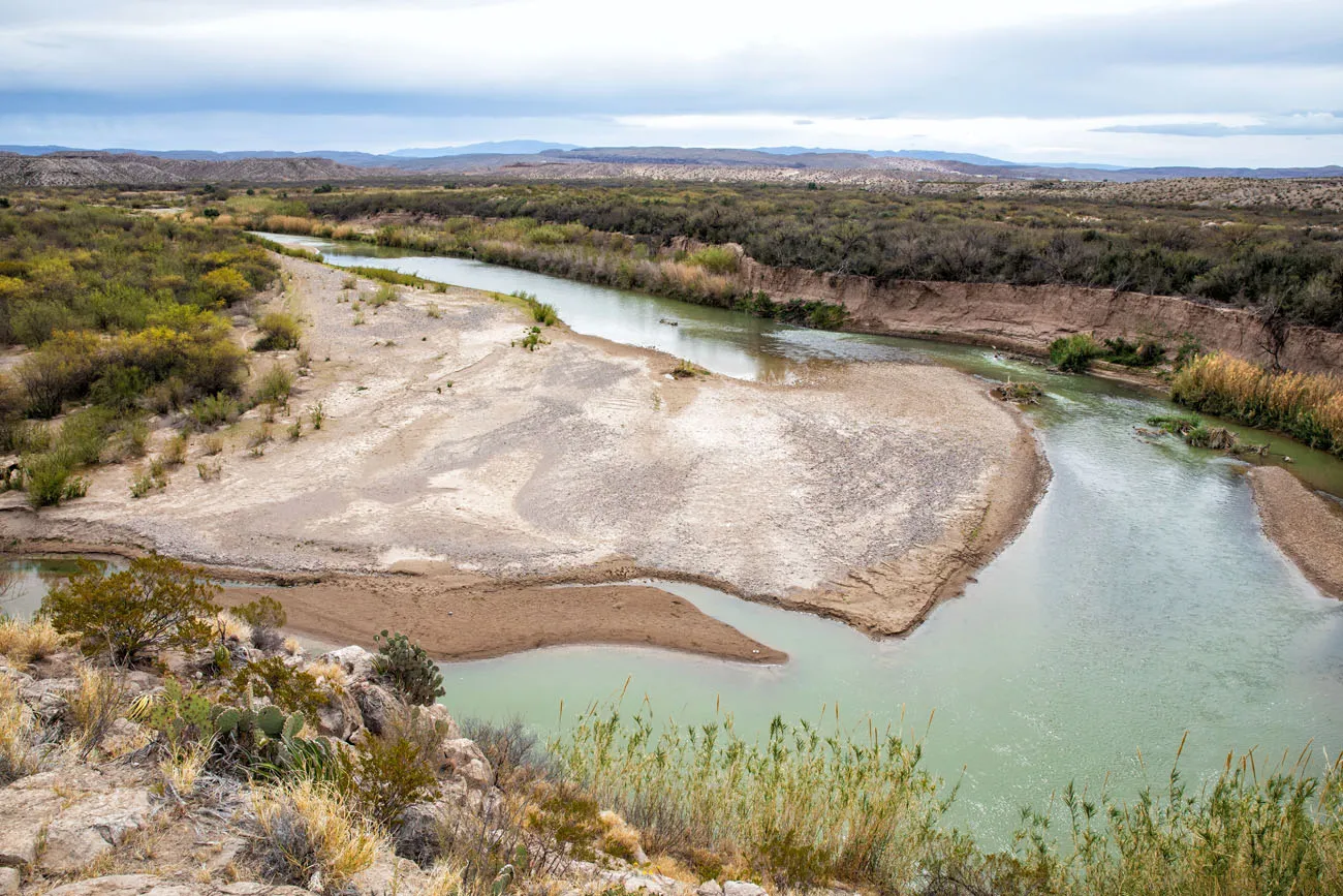
Boquillas Canyon Trail | Best Hikes in Big Bend
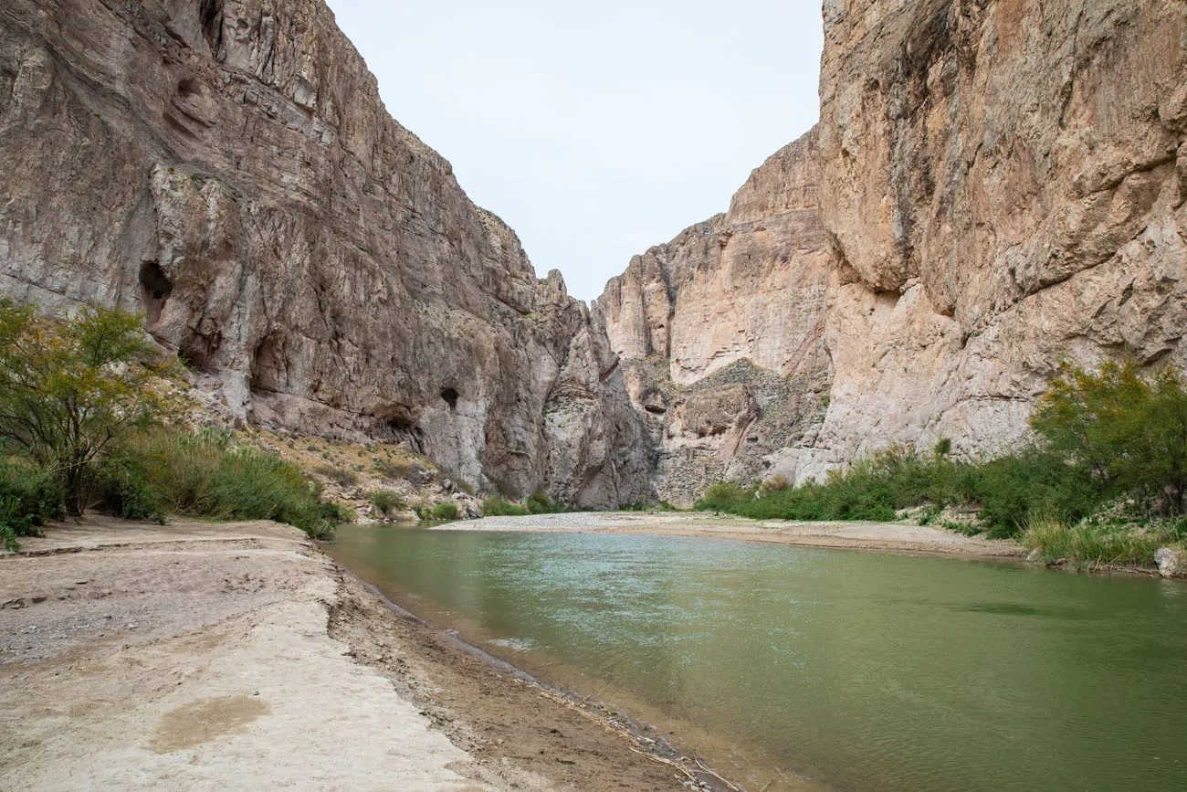
Boquillas Canyon | Best Hikes in Big Bend
Boquillas Canyon Hiking Stats
Distance: 1.6 miles
Total Ascent: 215 feet
Difficulty: Easy to moderate
Length of Time: 1 to 1.5 hours
Trailhead: End of Boquillas Canyon Road
Ernst Tinaja Trail
This is arguably one of the best hikes in Big Bend National Park, if not one of the best all-around experiences.
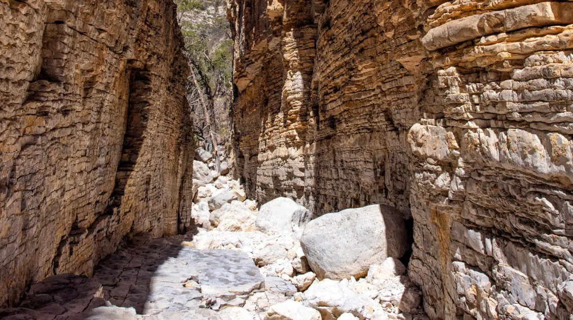
This is a short, easy trail through a slot canyon, featuring a series of waterholes located within colorful layers of limestone rock. Those looking for a little more adventure can continue the hike past the water-filled pools and rock scramble their way to the back of the canyon.
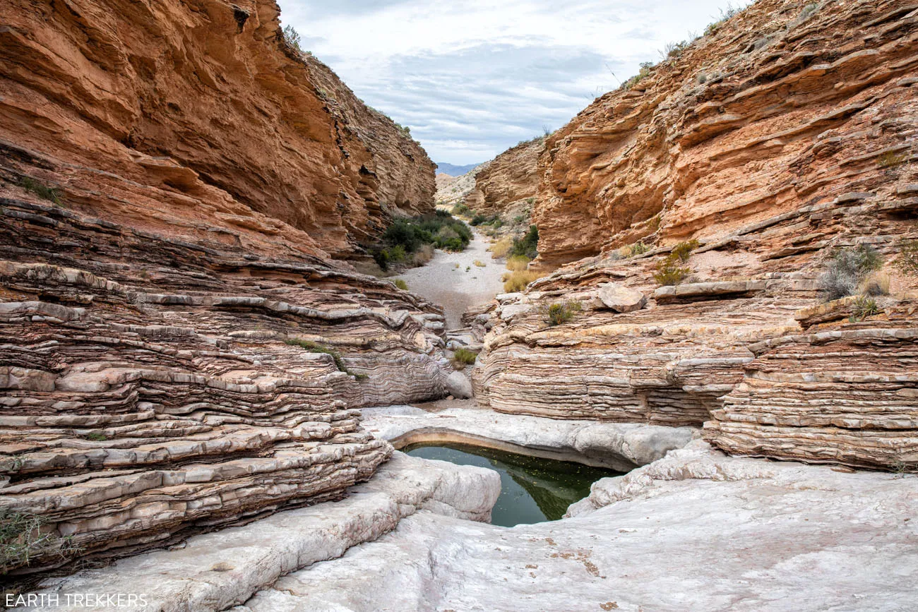
Ernst Tinaja Trail | Best Hikes in Big Bend
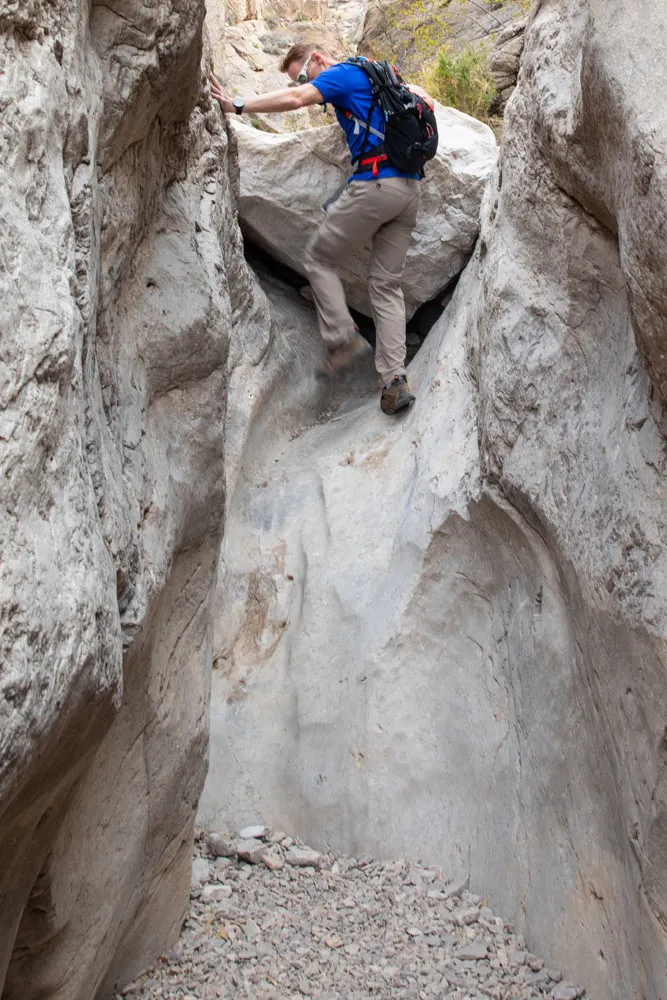
Ernst Tinaja Trail
Getting here can also be an adventure. The Ernst Tinaja trail is located on Old Ore Road, a rough, gravel road that is only suitable for high-clearance vehicles with four-wheel drive. So, in order to do this hike, you will need a 4WD vehicle.
LEARN MORE: How to Hike the Ernst Tinaja Trail
Ernst Tinaja Hiking Stats
Distance: 1.6 miles
Total Ascent: 195 feet
Difficulty: Easy to Ernst Tinaja, moderate to challenging if you continue past Ernst Tinaja to go rock scrambling
Length of Time: 1 to 1.5 hours
Trailhead: Old Ore Road
Best Hikes in Big Bend: On a Map
How to Use This Map: Click the icons on the map to get more information about each point of interest. To take this map with you, click the star next to the title of the map which adds it to your Google account. Next, within your Google Maps app, select ‘Saved’ and then select ‘Maps’. This map title will now appear in your list.
When to Go Hiking in Big Bend
You can hike Big Bend National Park year round, but for cool temperatures and the best weather conditions, plan your visit between October and April. March, especially during Spring Break in Texas, is peak season in the park.
We visited Big Bend in early March.
Before you go, get updates on conditions and trail closures on the official National Park Service website.
Please practice the seven principles of Leave No Trace: plan ahead, stay on the trail, pack out what you bring to the hiking trail, leave areas as you found them, minimize campfire impacts, be considerate of other hikers, and do not approach or feed wildlife.
Top Hikes in Big Bend: Our Recommendations
Our favorite hikes are the Ernst Tinaja Trail (the drive, the stunning walk through the canyon, and the rock scrambling all combine to make this one of Big Bend’s best experiences), Balanced Rock (short, fun hike with a cool rock formation), Lost Mine Trail (great views with relatively minimal effort), Santa Elena Canyon (best Rio Grande hike), and the combo hike of the South Rim plus Emory Peak (unbeatable full-day experience in Big Bend).
If you are looking for a short, easy hike, our top picks are Santa Elena Canyon, Balanced Rock, and the Lower Burro Mesa Pour Off.
If you want to leave the crowds behind, your best bets are Ernst Tinaja, Balanced Rock, and Mule Ears Spring Trail. The South Rim Trail also joins the list, since its longer distance discourages many hikers.
If you have limited time in the park and can only choose a few trails, I recommend Santa Elena Canyon (great little hike and it includes the full length of the Ross Maxwell Scenic Drive to get here) and either Emory Peak (360° views over the entire park) or the Lost Mine Trail (more great views but it’s easier and takes a lot less time than Emory Peak). If you can add on Balanced Rock, do it. Can you tell that I really liked this hike? 🙂
If you are short on time, skip the Rio Grande area of Big Bend and put your time into Chisos Basin and the Ross Maxwell Scenic Drive areas. Tim and I thought the scenery in these two sections was amazing and you have miles of hiking trails to choose from.
What do you think are the best hikes in Big Bend National Park? Let us know in the comment section below.
More Information about Big Bend National Park & Texas
Read all of our articles about Texas in our Texas Travel Guide and the United States in our United States Travel Guide.

Comments 6