One of the best ways to explore Joshua Tree National Park is on foot. Hike to the highest peaks, learn about the Joshua Trees and Cholla cacti on the nature trails, explore hidden slot canyons, and hike to remote oases. In this guide, we share the best hikes in Joshua Tree National Park.
About the Hikes on this List
These hikes are listed by difficulty. We start with the shortest, easiest hikes in the park and end with the most challenging. All of the hikes on this list are day hikes.
Most of the hikes on this list are in the short, easy category. In fact, nine of them are easy hikes that are less than 2.5 miles. And all but 1 of these hikes is 6 miles or less. That makes Joshua Tree National Park a great hiking destination for families, those who are new to hiking, and people of all ages and ability levels.
If you have plans to visit Joshua Tree National Park during the summer months, be aware that it gets very hot here. The average daytime high temperature is 98°F in July and August and it is not unusual for temperatures to climb even higher than this. Stay safe and avoid hiking midday during the summer months.
Best Hikes in Joshua Tree
1. Cholla Cactus Garden
Distance: 0.25-mile loop | Difficulty: Easy | Total Ascent: Minimal | Time: 30 minutes
This “hike” is really just a flat, easy walk along a nature trail. This walking trail weaves its way through the Cholla Cactus Garden, giving you a chance to get up close with these unique plants.
Cholla cactus are found throughout the deserts in the American southwest and there are many different species. At the Cholla Cactus Garden, the teddybear cholla is what you will see. They look soft and fluffy but they are covered with hundreds of thorns.
This hike is great to do all day but for the best lighting, go at sunrise or sunset.

Cholla Cactus Garden Trail
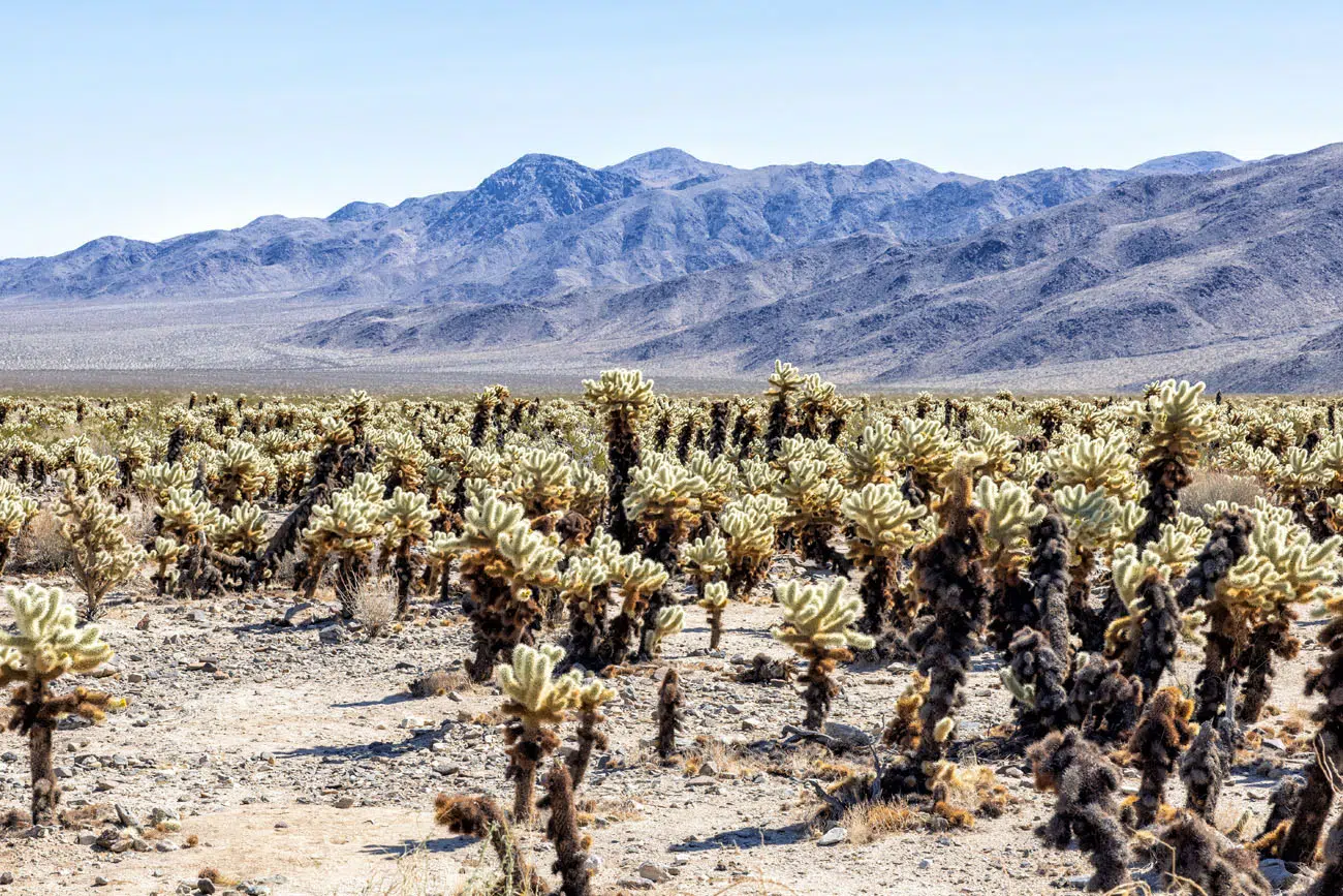
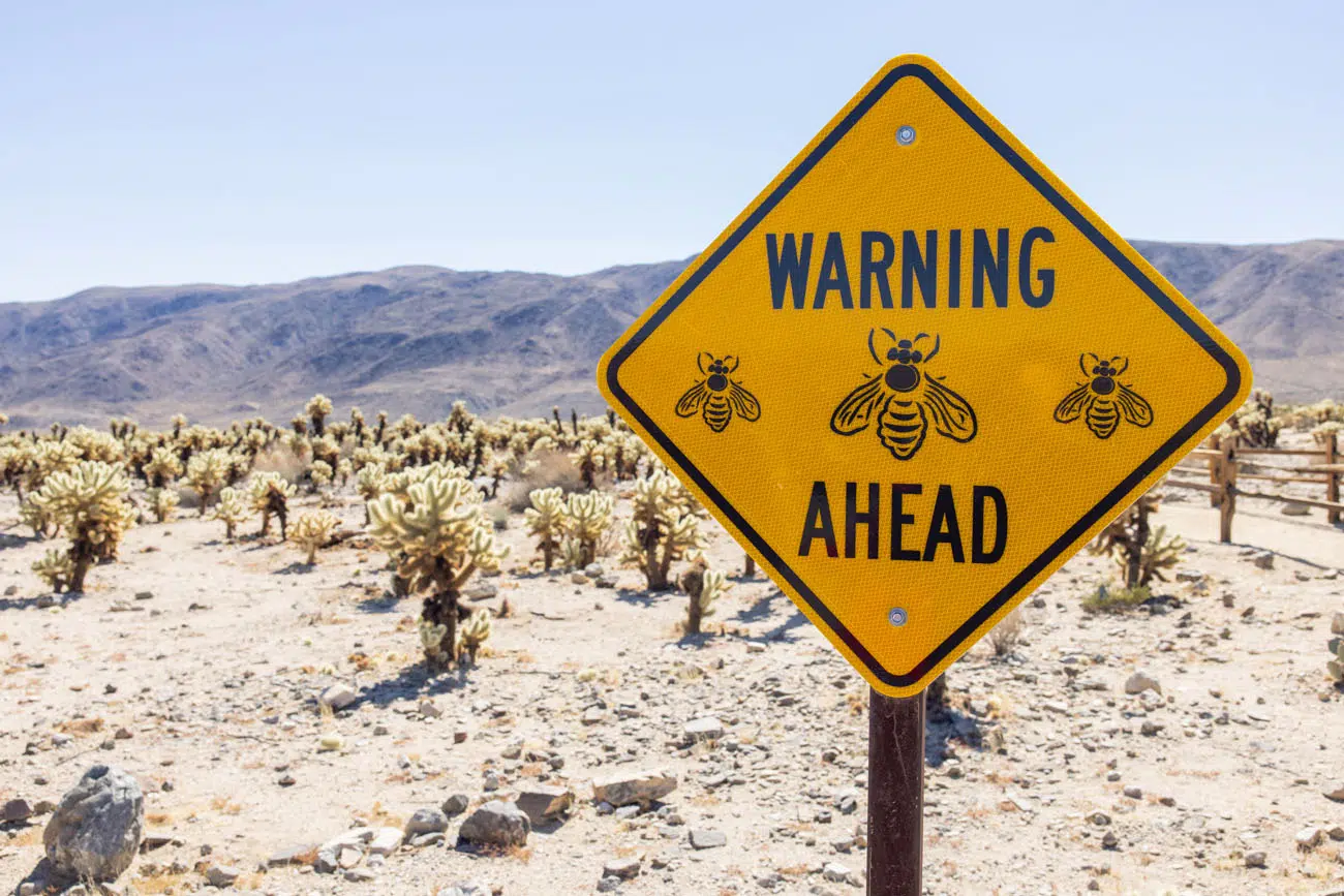
LOCATION: Pinto Basin Road. It is a 15-minute drive to get here from Park Boulevard. This is a good hike to do while driving between Park Boulevard and Cottonwood Spring.
2. Keys View
Distance: 0.25-mile loop | Difficulty: Easy | Total Ascent: 25 feet | Time: 30 minutes
It’s hard to classify this next one as a hike since it is just a short walk on a paved trail, but since it is listed as a hike on the National Park Service website, I am including it on this list.
From the parking lot, it is a short, uphill walk to the overlook. As you walk up the trail, there is a lone Joshua Tree that you can photograph with the backdrop of the Santa Rosa Mountains.
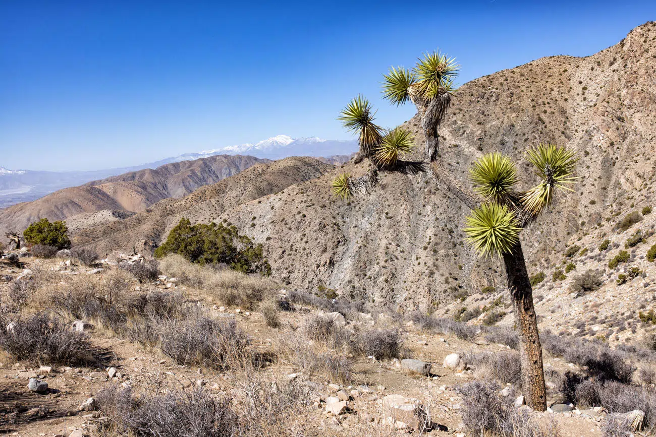
Once at the overlook, you have a panoramic view of the Santa Rosa Mountains, San Jacinto Mountain, Coachella Valley, and Palm Springs. The San Andreas Fault, which runs from San Francisco to the Gulf of California, runs through the valley below.
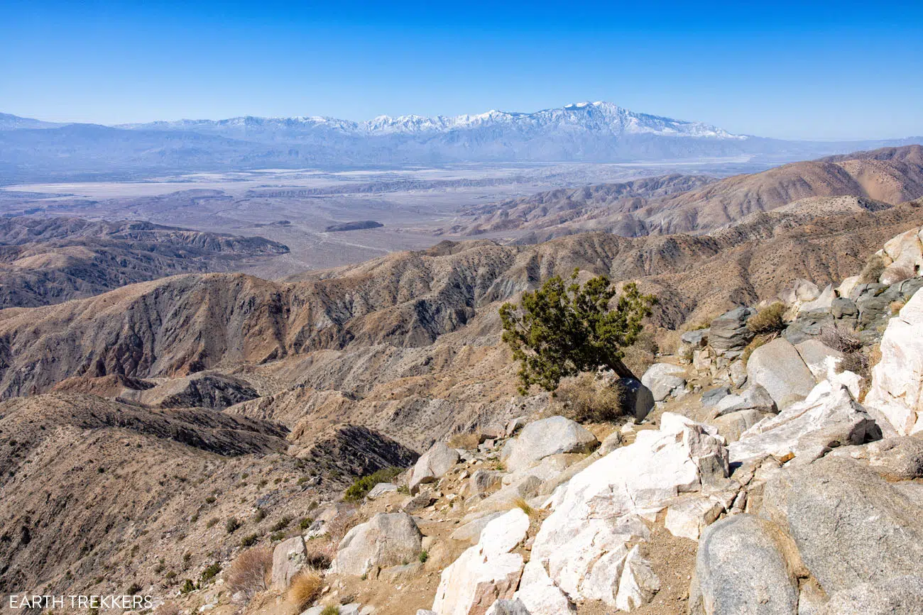
Keys View
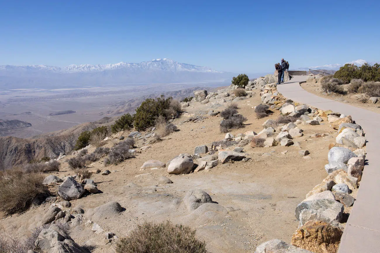
Keys View Trail
LOCATION: Keys View is located at the end of Keys View Road.
3. Cap Rock Nature Trail
Distance: 0.4-mile loop | Difficulty: Easy | Total Ascent: Minimal | Time: 30 minutes
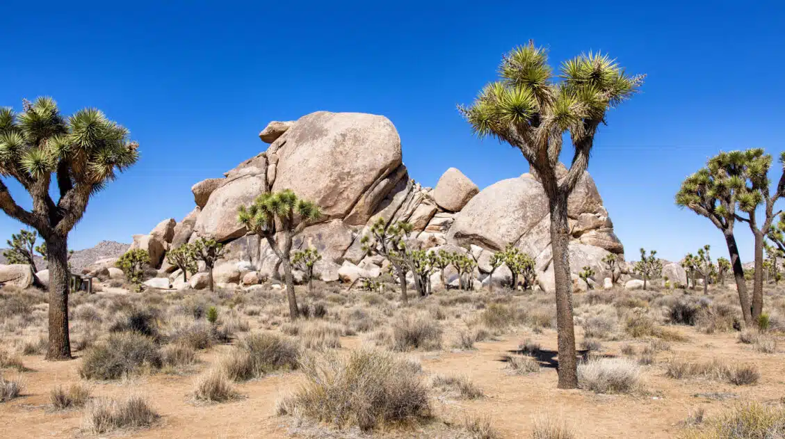
This short nature trail is flat and great for all ages and ability levels. Signs along the trail identify the plants that live and thrive in the Mojave Desert.
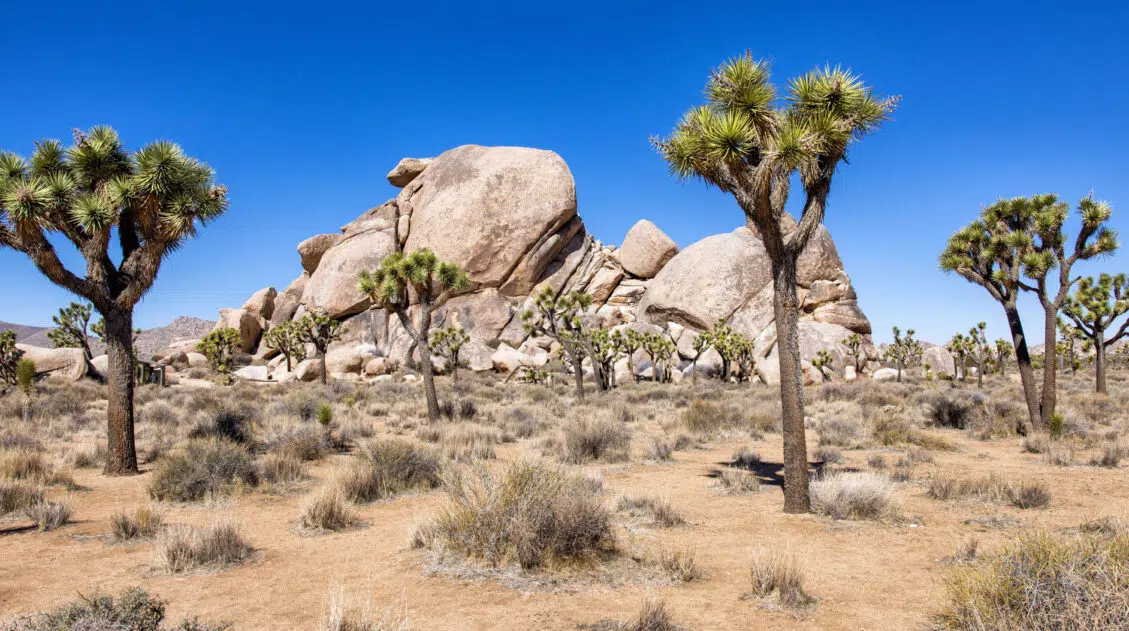
It’s a beautiful hike to add to your to-do list, especially if you want to get great photos of the Joshua trees. This trail and the Hall of Horrors trail are two of the best places in the park to photograph the Joshua Trees.
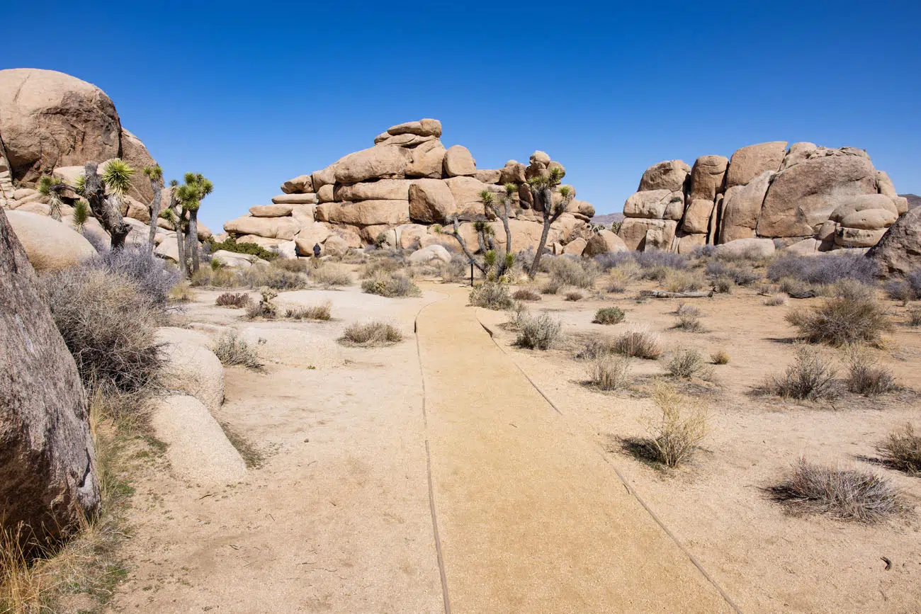
Cap Rock Nature Trail | Best Hikes in Joshua Tree
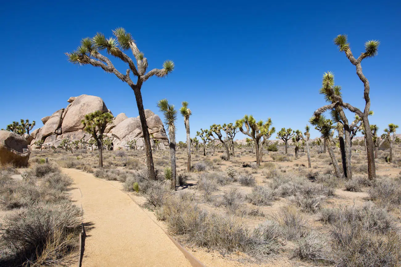
LOCATION: Keys View Road near the intersection with Park Boulevard. Hike the Cap Rock Nature Trail before or after the visit to Keys View.
4. Hall of Horrors
Distance: 0.8-mile loop | Difficulty: Easy to moderate | Total Ascent: 100 feet | Time: 1 to 1.5 hours
The Hall of Horrors is one of the best hikes in Joshua Tree National Park. It’s short, it’s scenic, and adding on the slot canyon is one of the most thrilling experiences in the park.
The hiking trail loops around several enormous boulder piles. Like the Cap Rock Nature Trail, the hike is flat and great for all ages and ability levels. It’s also a great spot to photograph the Joshua Trees.
The Hall of Horrors is a short slot canyon that is located in the giant stacks of boulders in the Hall of Horrors area. Getting to this slot canyon requires rock scrambling and finding the slot canyon is sometimes the trickiest part of the experience.
How to Hike the Hall of Horrors | Joshua Tree National Park
For full details on how to do this hike, and find the slot canyon, read our Hall of Horrors Hiking Guide.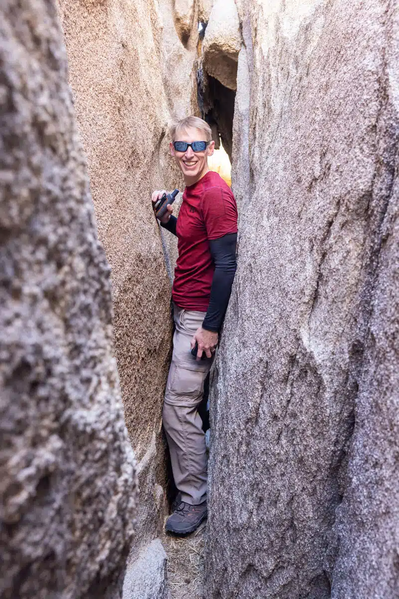
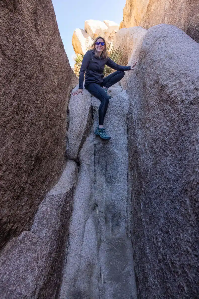
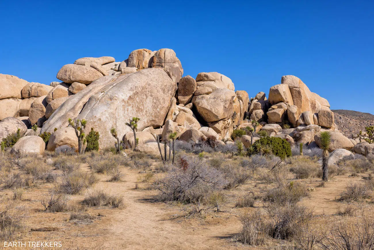
LOCATION: Park Boulevard.
5. Hidden Valley
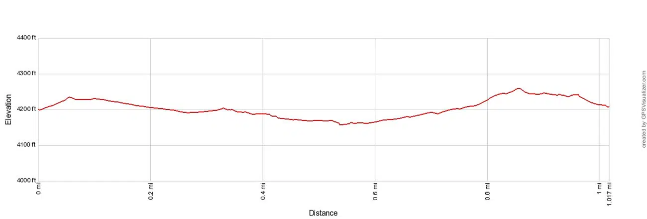
Distance: 1.0-mile loop | Difficulty: Easy | Total Ascent: 150 feet | Time: 30 to 60 minutes
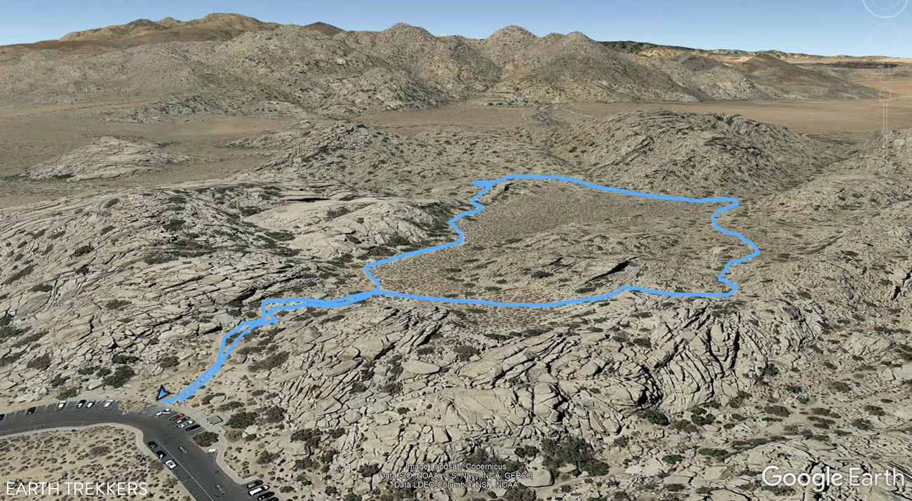
Hidden Valley Trail Map
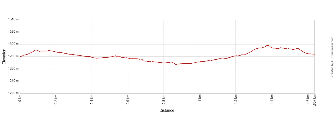
Hidden Valley Trail Elevation Profile
Hidden Valley is one of the most popular hikes on this list. Expect lots of people on this trail and getting a parking spot midday can be challenging.
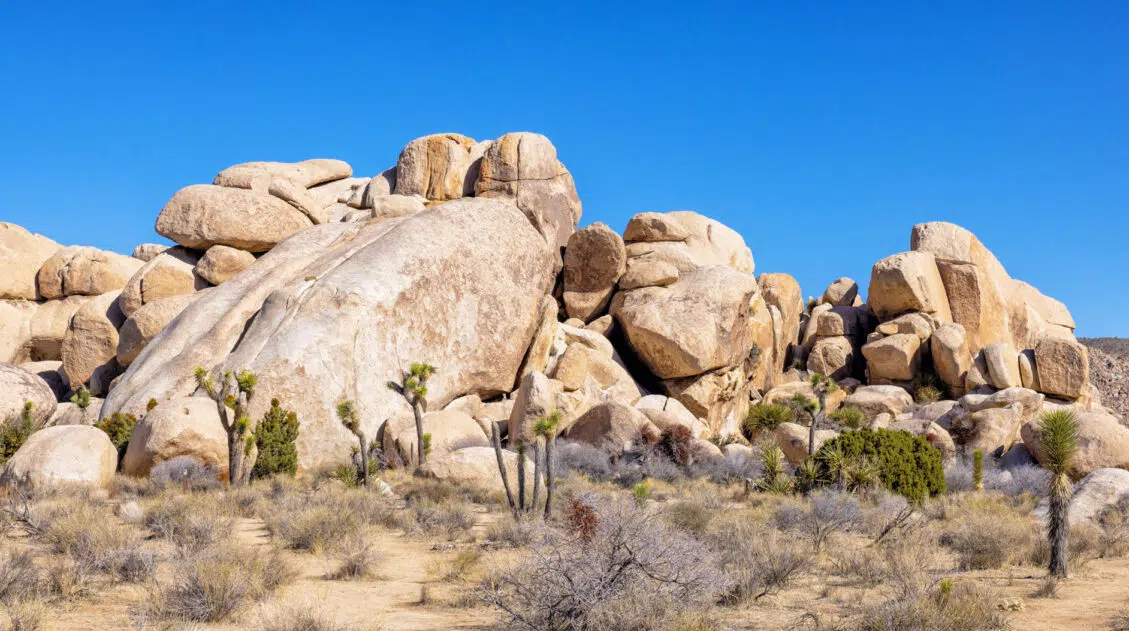
Hidden Valley is one of the most picturesque areas of Joshua Tree National Park.
This small valley is located in a “bowl.” Giant stacks of boulders form the outer perimeter and the trail makes a loop around the inside of this bowl. For the entire hike, you are surrounded by rocky walls and desert plant life.
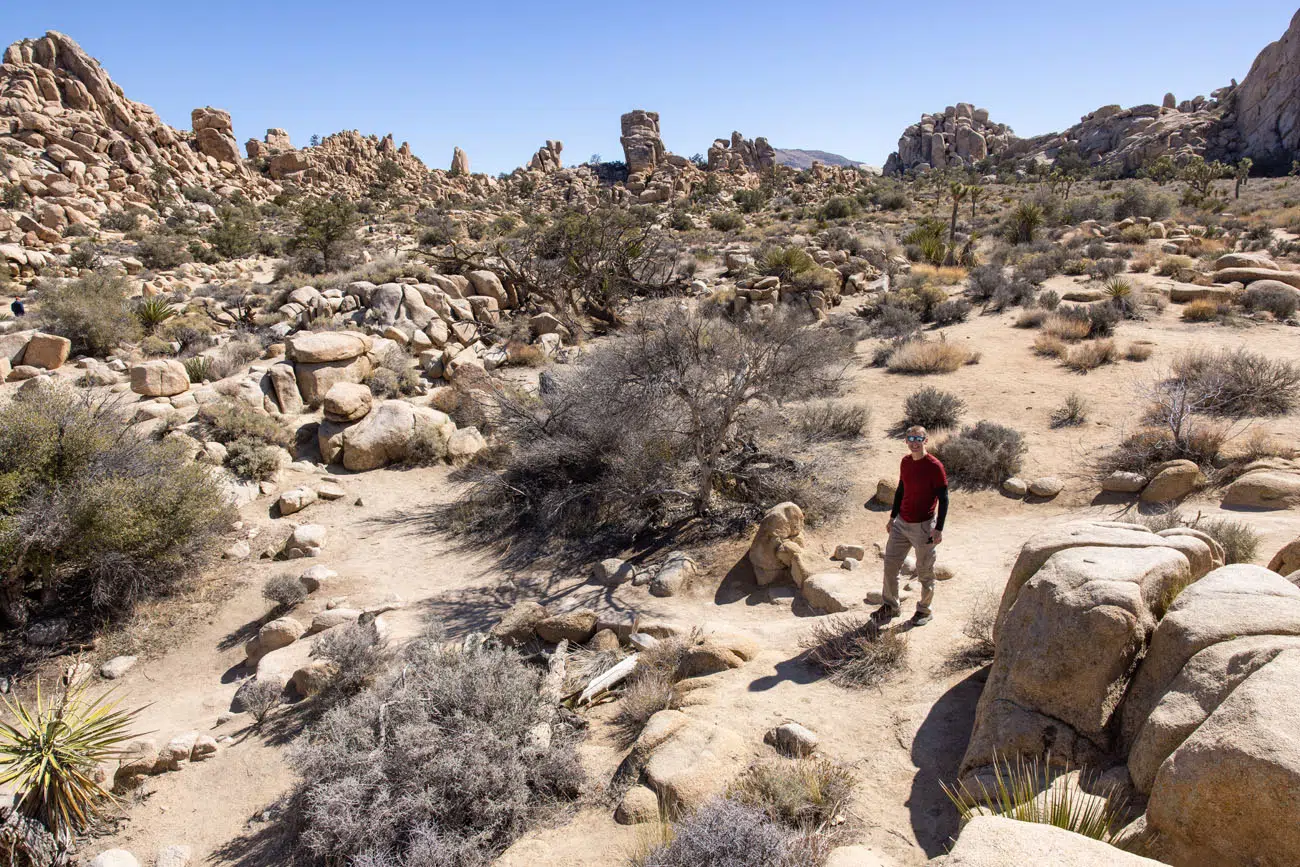
Hidden Valley | Best Hikes in Joshua Tree
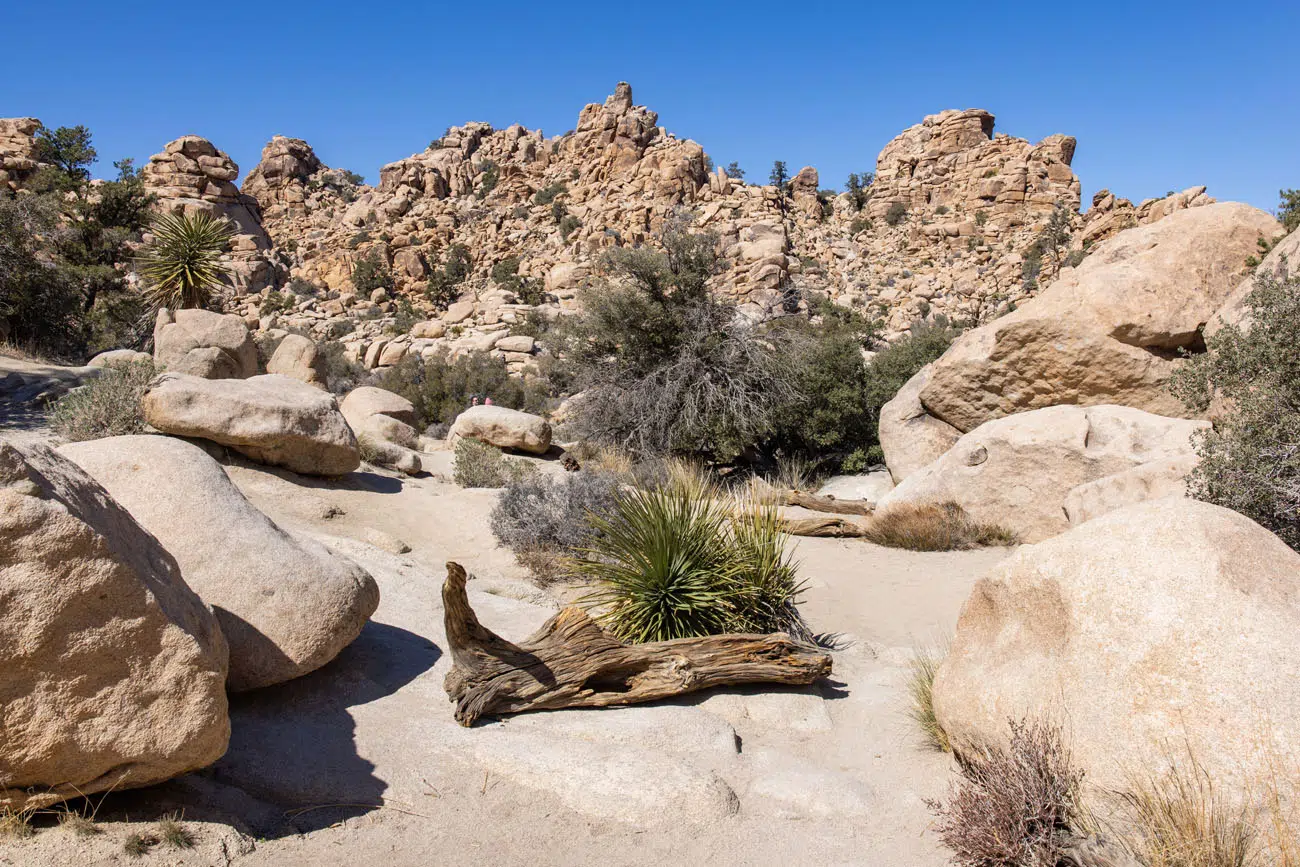
Hidden Valley Trail
LOCATION: Hidden Valley Picnic Area, located near the junction of Park Boulevard and Barker Dam Road.
6. Barker Dam Nature Trail
Distance: 1.25-mile loop | Difficulty: Easy | Total Ascent: 120 feet | Time: 30 to 60 minutes
This short hike is worth it if Barker Dam is filled with water. The trail makes a loop and on the far end of the loop is the dam. When the basin is filled with water, this is a beautiful spot to visit.
When we did this, the basin was dry and the hike was not worth the effort, especially with so many other great hikes on this list. We recommend getting an update at the visitor center about the water level before taking the time to do this hike.
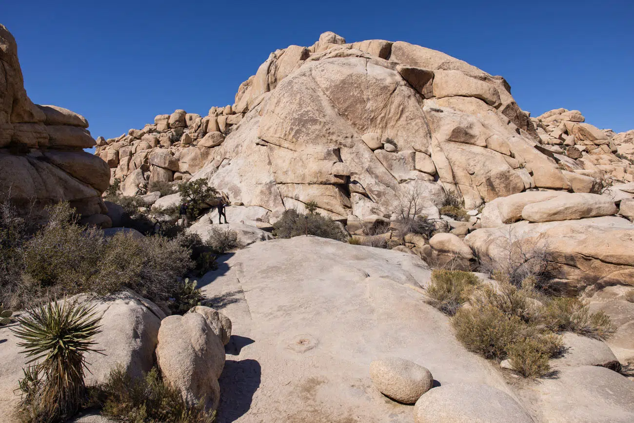
Barker Dam Nature Trail
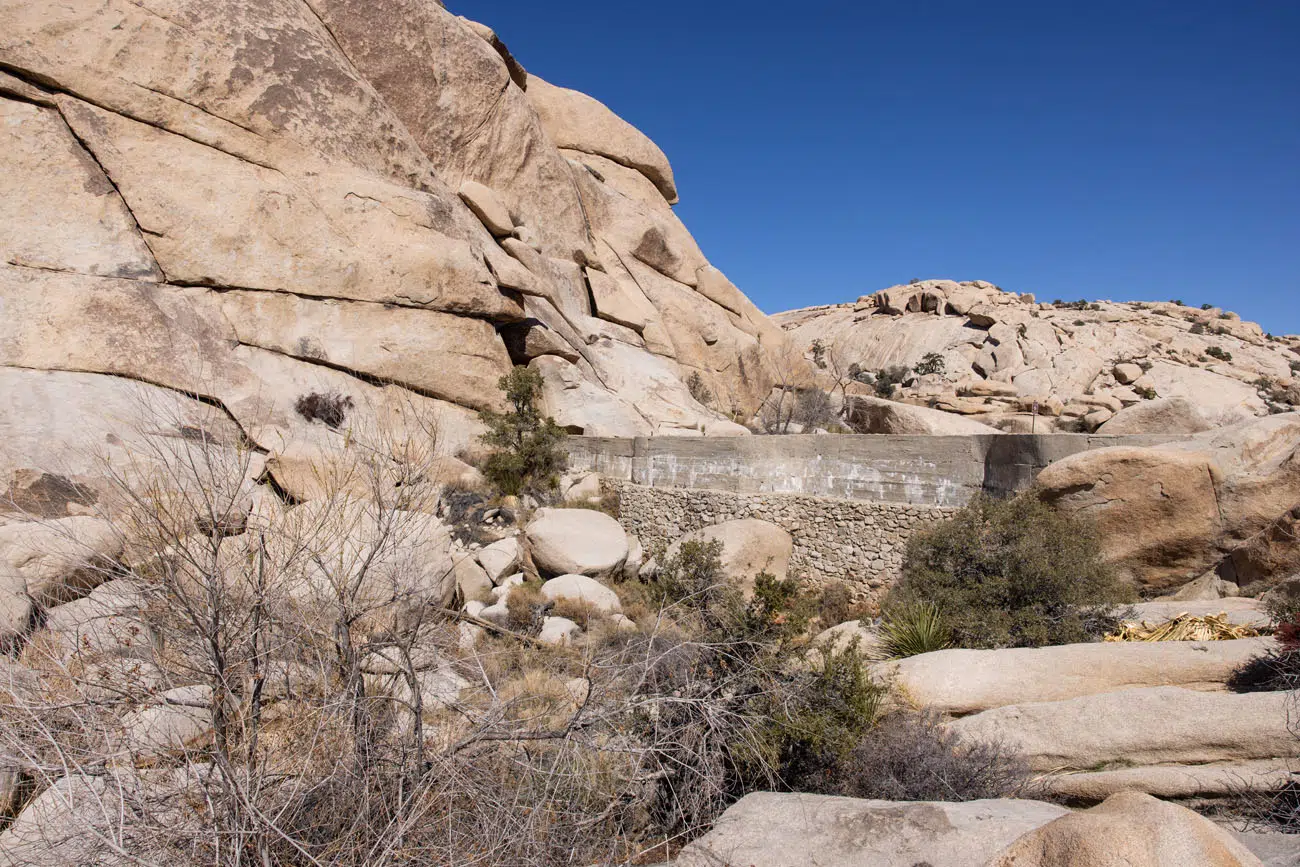
Barker Dam
LOCATION: Barker Dam Road. This is a popular hike and the parking lot is small. If you can’t get a space here, there is overflow parking at the Echo T Parking Lot. This lot is 1 mile away from the trailhead, so parking here adds on 2 miles round trip to the hiking stats above.
7. Skull Rock Trail
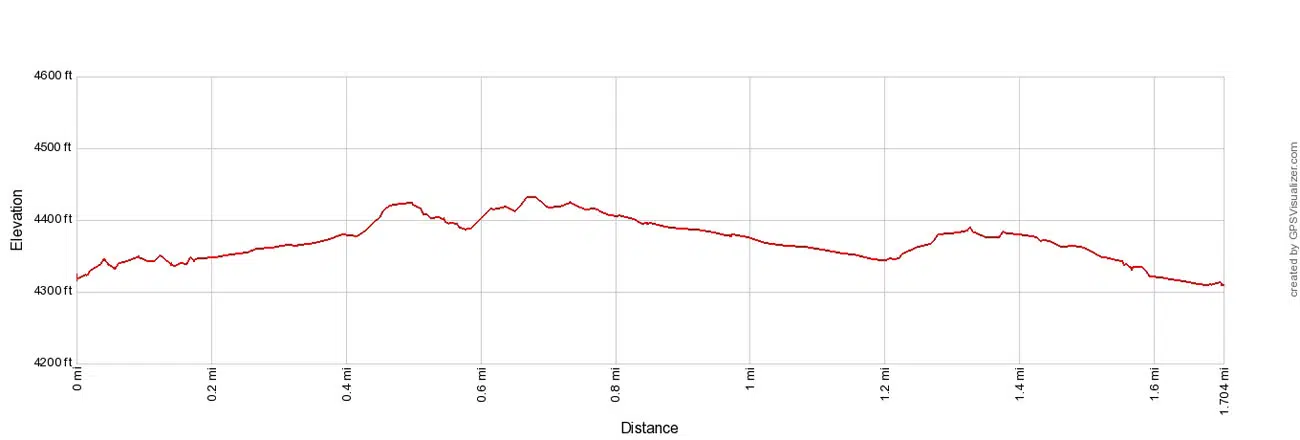
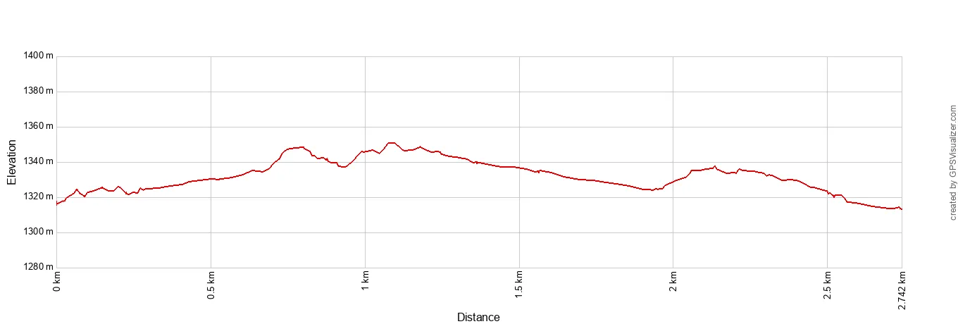
Distance: 1.7-mile loop | Difficulty: Easy | Total Ascent: 250 feet | Time: 1 to 2 hours
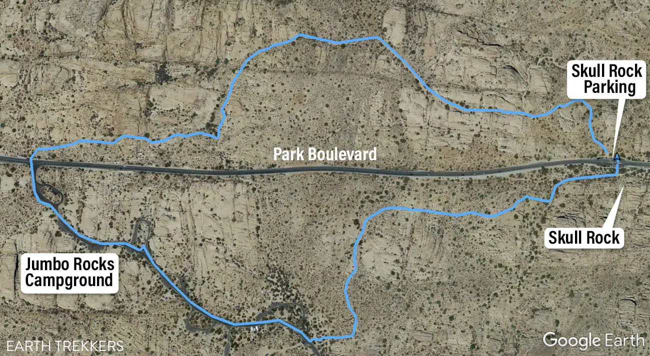
Skull Rock Trail Map
Skull Rock Trail Elevation Profile
The Skull Rock Trail is another essential hike to do in Joshua Tree National Park.
This hike is done as a loop and it can be started from several different places. We parked on Park Boulevard next to Skull Rock, but you can also park and start this hike next to Jumbo Rocks Campground.
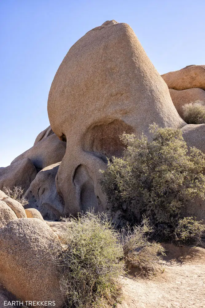
Skull Rock
We did the loop in a counter-clockwise direction but you can go either way.
From Skull Rock, cross Park Boulevard. You will see several trail signs here. The trail for Skull Rock leads to the left. If you go right, you will hike the Discovery Trail (which we did not do). This spot also gives you a great view of Skull Rock. Climb up onto the rocks for this view:
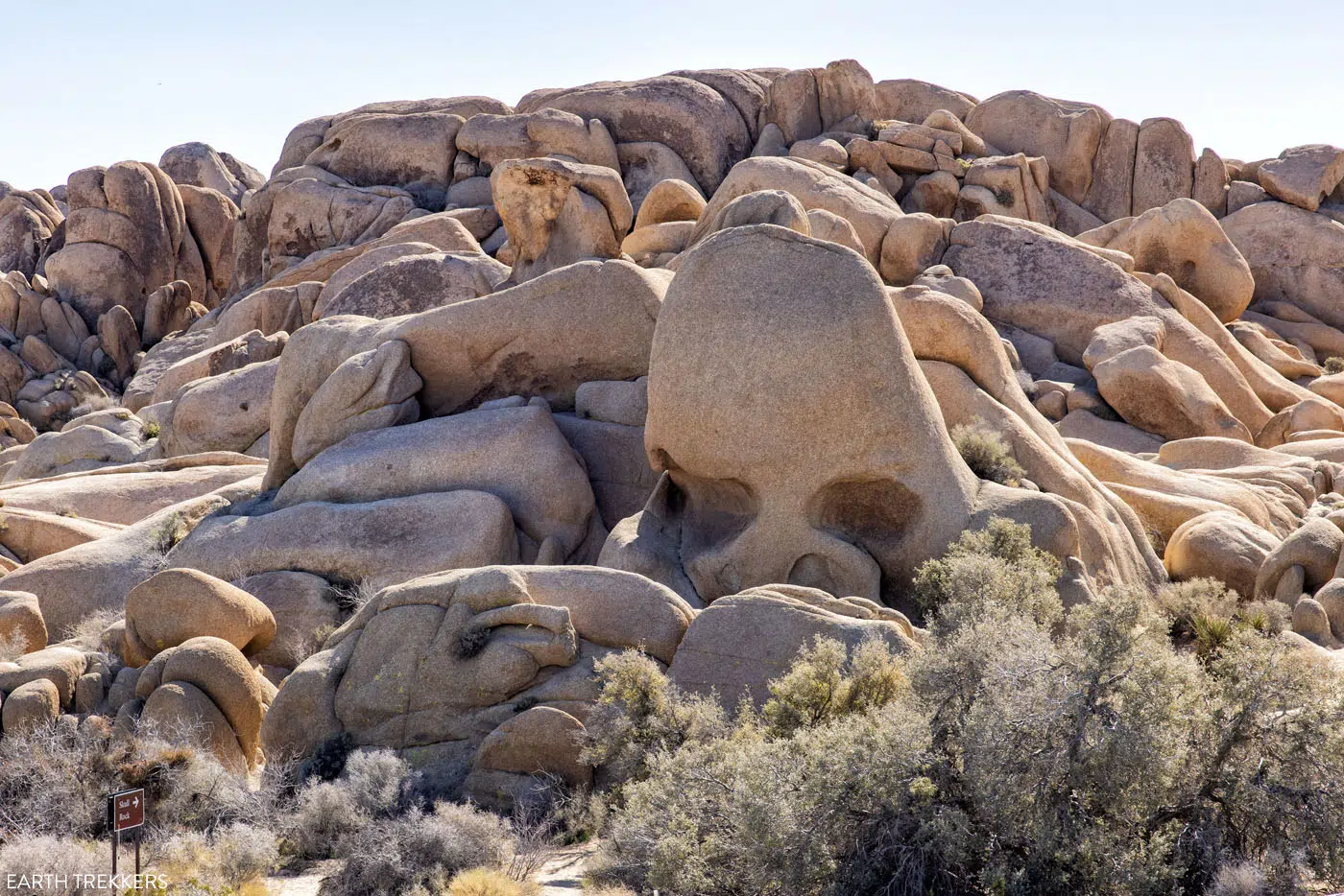
Skull Rock | Best Hikes in Joshua Tree
For 0.7 miles, the trail heads through giant stacks of boulders. The views are great and there are places along the trail where you can do some rock scrambling.
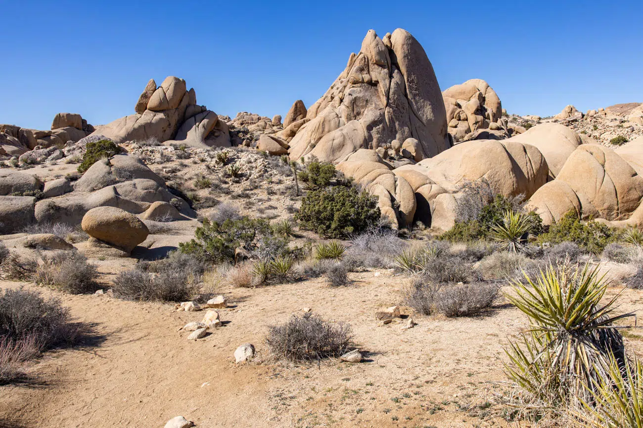
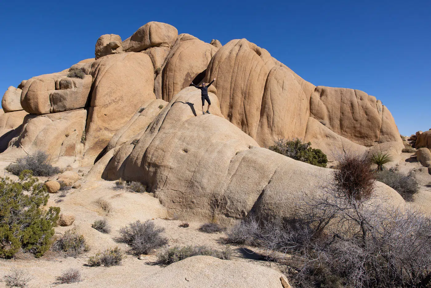
The Skull Rock Trail crosses Park Boulevard and for half of mile, you walk along the road in Jumbo Rocks Campground.
The final 0.5 miles is great…more views of rock piles and Joshua trees. Once back at Skull Rock, you can rock scramble up onto the boulders for great views of the area.
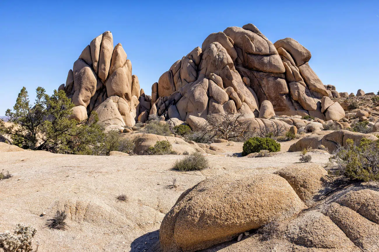
Skull Rock Trail | Best Hikes in Joshua Tree
LOCATION: Park Boulevard and Jumbo Rocks Campground.
8. Arch Rock Trail (with Heart Rock)
Distance: 1.8-mile loop | Difficulty: Easy | Total Ascent: 210 feet | Time: 1 to 2 hours
To see several of the most unique rock formations in Joshua Tree National Park, put the Arch Rock Trail on your list. We loved this wonderful gem of a hike.
Arch Rock Trail is located next to White Tank Campground, but you can only park here if you have a campsite here. The parking lot for this trail is located on Pinto Basin Road, and on Google Maps it is called “Arch Rock Nature Trail.”
From the Arch Rock Nature Trail parking lot, there is an “access trail” that crosses Pinto Basin Road and connects to the Arch Rock Nature Trail loop. This access trail is 0.6 miles one-way, so most of the hike is just getting from the parking lot to the main trail.
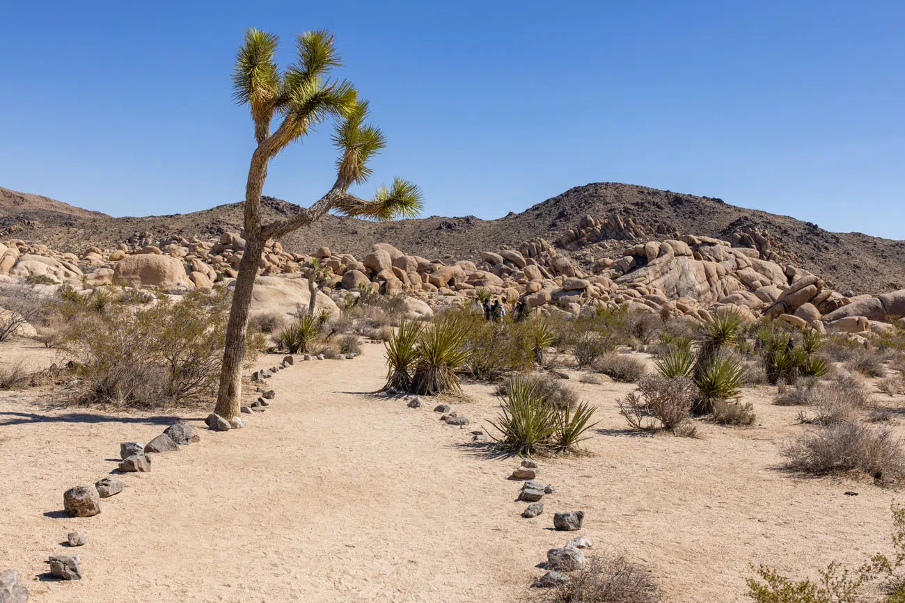
Arch Rock “Access Trail”
Once you reach the Arch Rock Trail, there are two things to do: hike the loop and add on the spur to Heart Rock. We hiked to Heart Rock first.
Heart Rock was once a “secret spot” in Joshua Tree National Park, but there is now a maintained trail to this rock.
The trail to Heart Rock is located next to the junction with the access trail. There are signs directing you to Heart Rock. It is about a tenth of a mile one-way to get to Heart Rock.
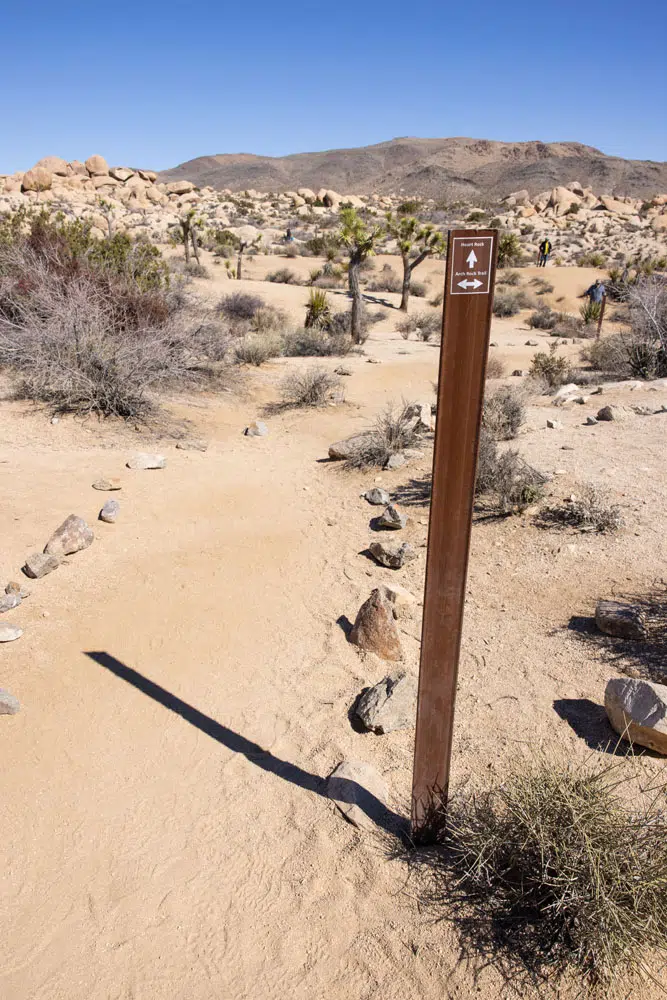
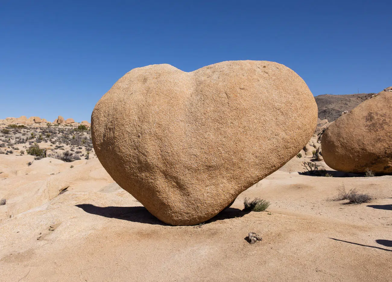
Heart Rock
After seeing Heart Rock, hike the Arch Rock Trail loop. As you hike the loop, keep an eye out for the sign pointing to Arch Rock (it can be easy to miss) or follow the line of people.
Arch Rock is popular photo spot and you will have to do some rock scrambling to get up to it. Your photographer will have to rock scramble up onto the rocks on the opposite side in order to get your photo.
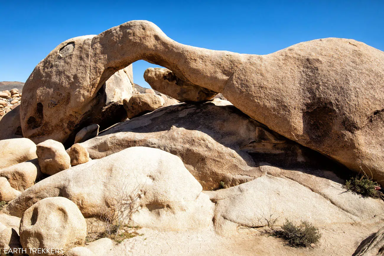
Arch Rock
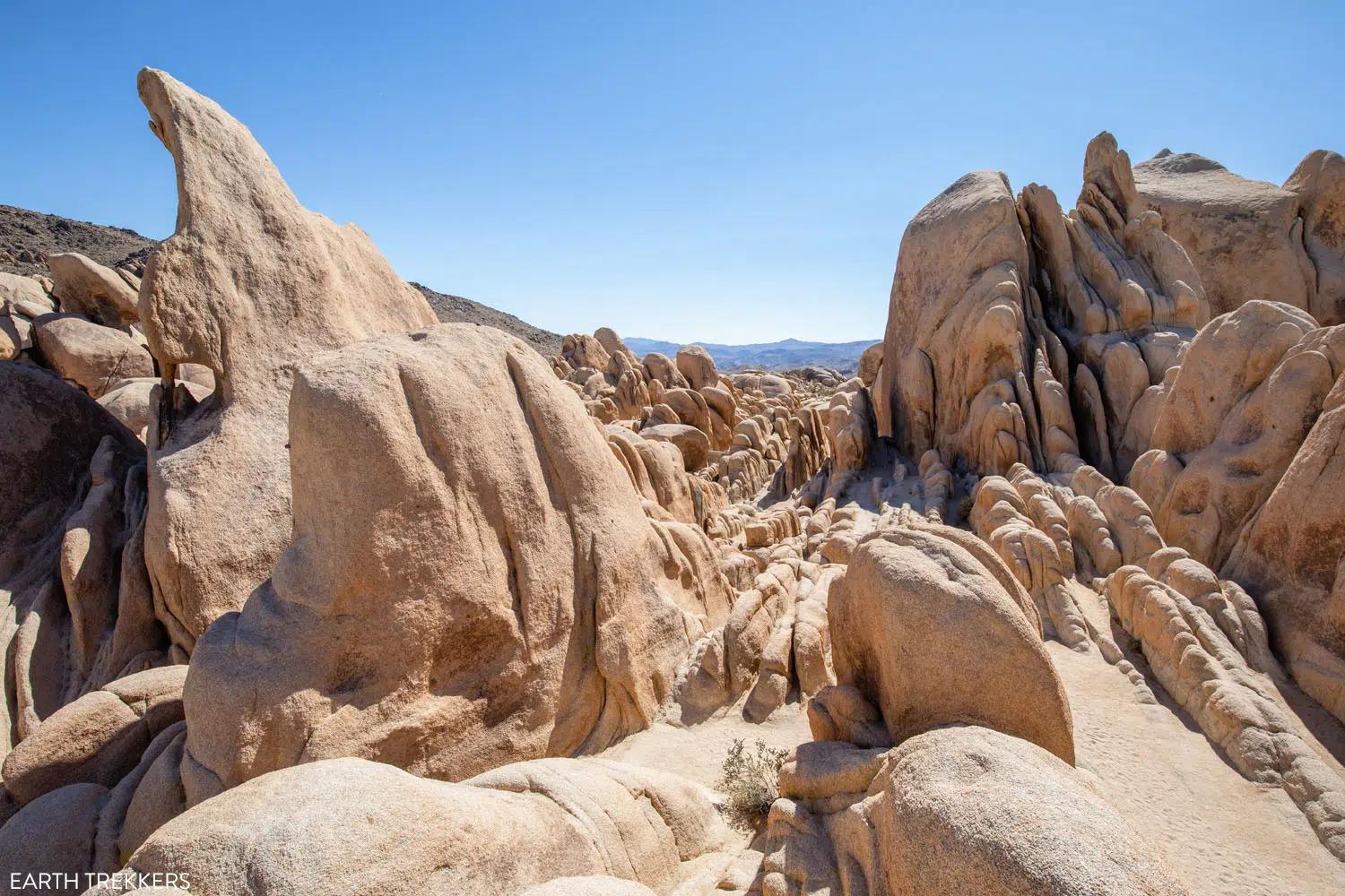
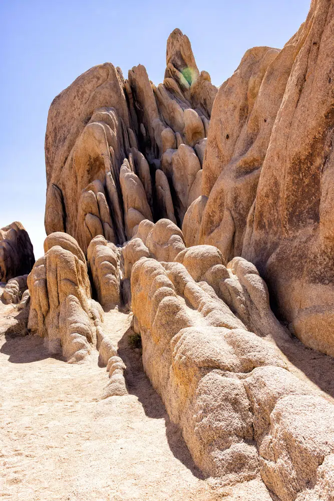
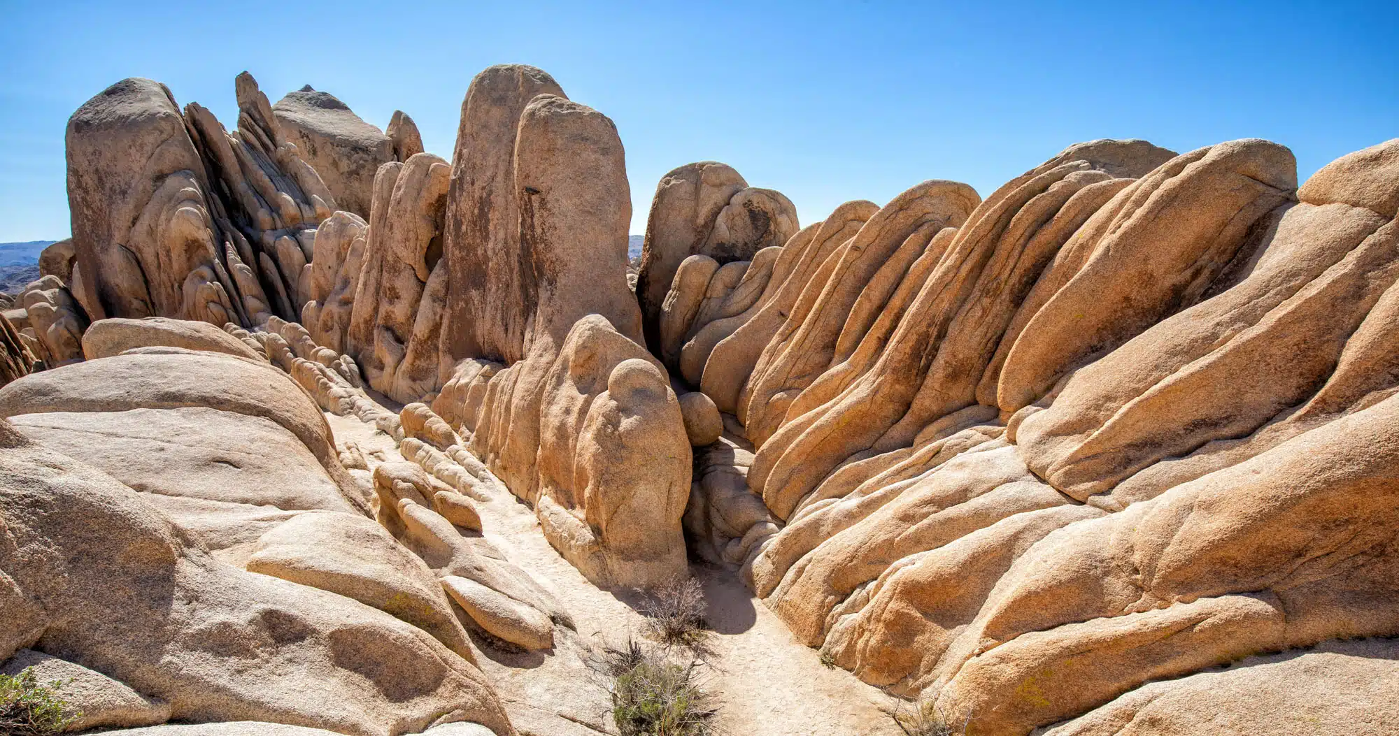
Arch Rock is beautiful, but I think the most spectacular part of this trail are the rocky formations that sit just to the right of Arch Rock. Climb up onto the rocks for this view (this view is also the cover photo for this guide):
LOCATION: Pinto Basin Road near Park Boulevard.
9. Wall Street Mill
Distance: 2.4 miles out-and-back | Difficulty: Easy | Total Ascent: 100 feet | Time: 1.5 to 2.5 hours
This flat, easy trail leads to an abandoned gold ore crushing mill. The mill was built by Bill Keys and is now on the National Register of Historic Places. You will also see abandoned, rusted cars and a marker identifying the spot where Bill Keys shot and killed Worth Bagley in 1943.
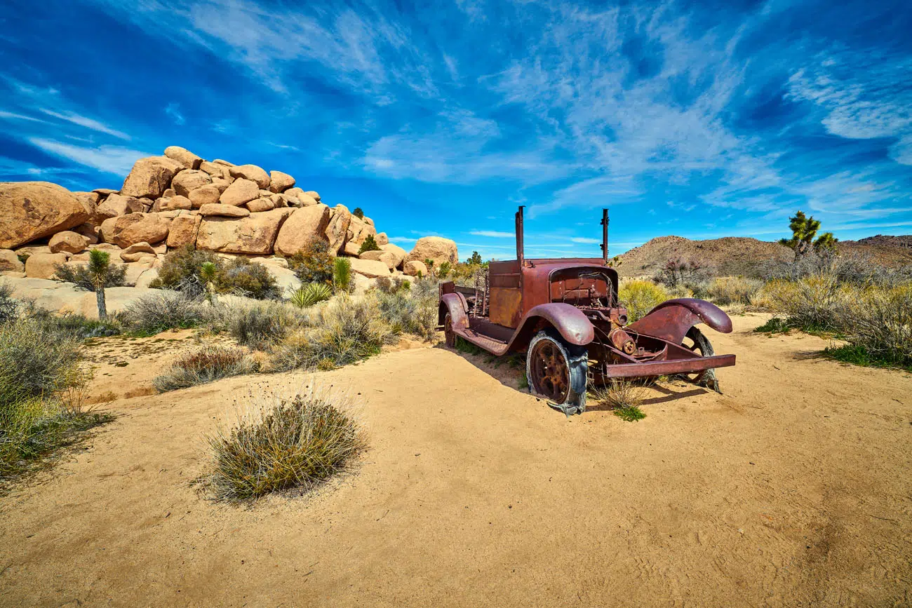
shutterstock.com/Patrick Jennings
LOCATION: The trailhead is located on Queen Valley Road, very close to the Barker Dam Nature trailhead. To get to the trailhead, it is a short drive on a gravel road. There is a small parking lot with a vault toilet.
10. Mastodon Peak Loop Trail
Distance: 2.5-mile loop | Difficulty: Moderate | Total Ascent: 600 feet | Time: 1 to 2 hours
Mastodon Peak Loop Trail Elevation Profile
This is a cool hike to do in Joshua Tree National Park.
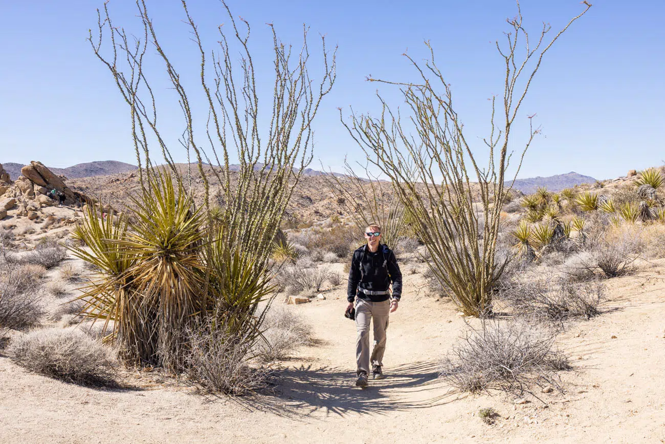
It is located near the Cottonwood Visitor Center in the southern section of the park. The landscape looks much different here than around Park Boulevard. You won’t see Joshua trees here, but you will see tons of ocotillo.
This hike starts at the Cottonwood Spring. It is done as a loop and most people, including us, hike it in a counter-clockwise direction.
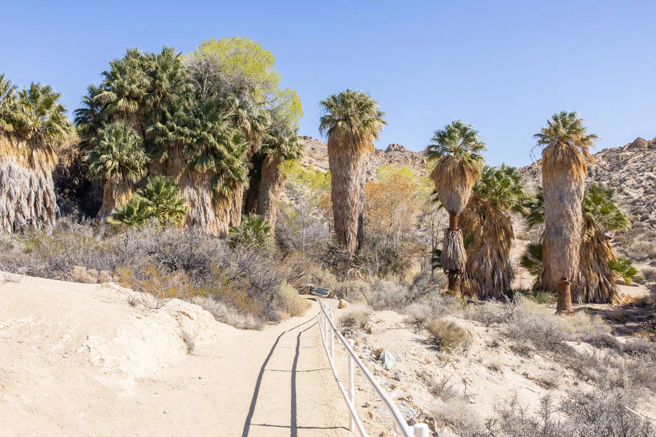
Cottonwood Spring
As the trail heads uphill, you get to see those ocotillo I just mentioned and you have beautiful views back to the Cottonwood Oasis.
The trail climbs up to Mastodon Peak. To get on top of Mastodon Peak you will have to do some easy to moderate rock scrambling. The views from the top are spectacular!
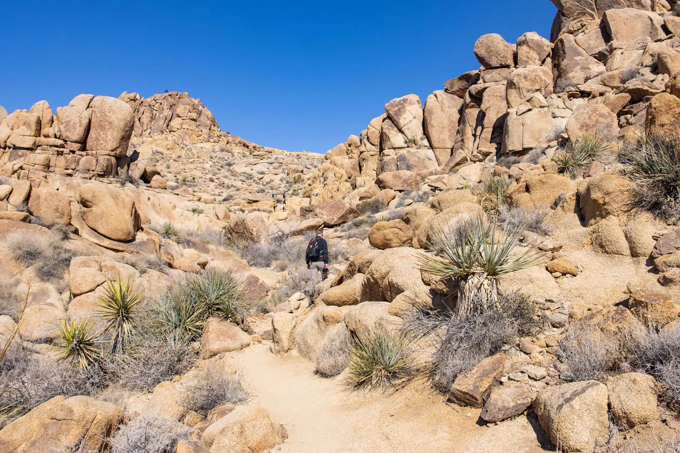
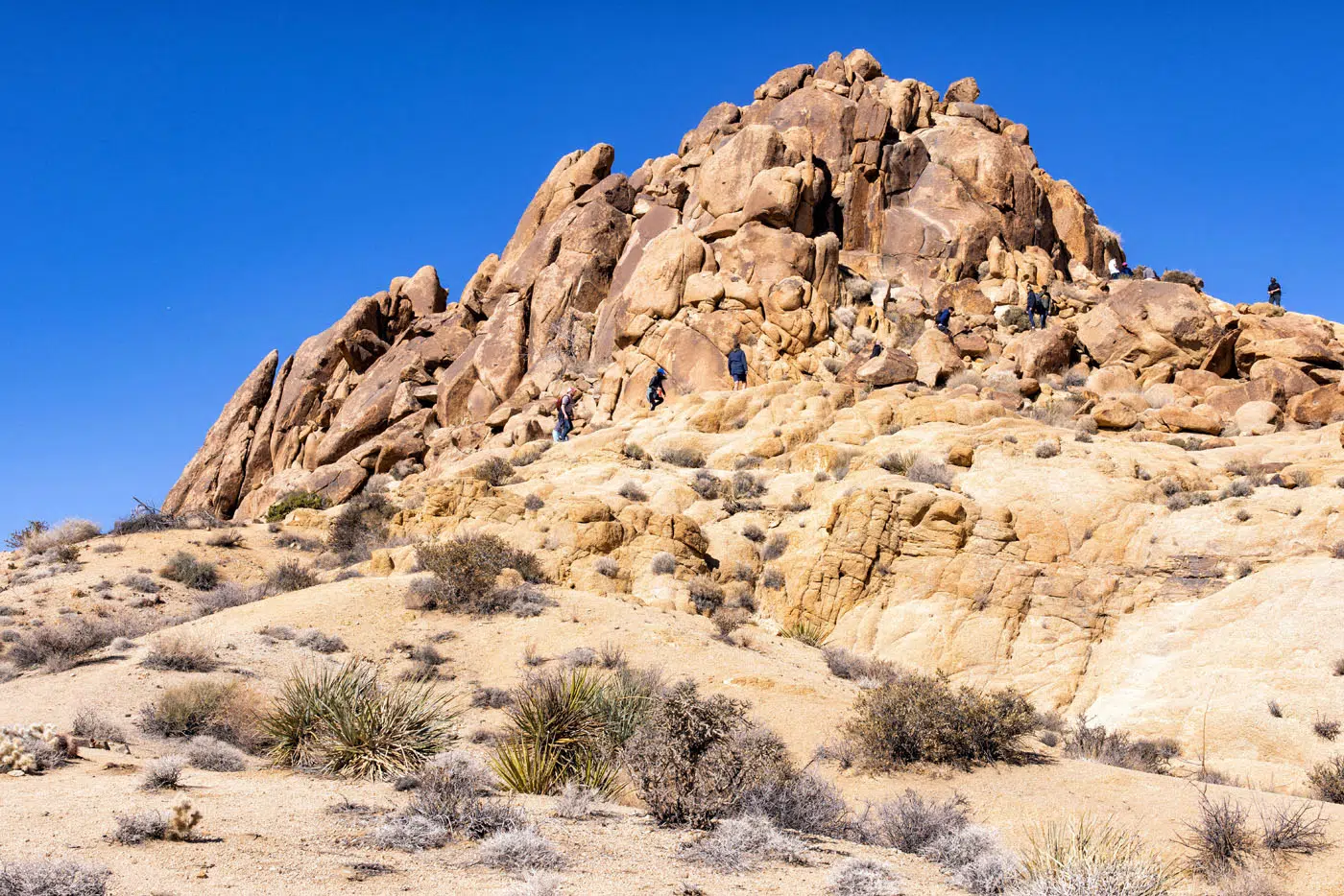
Mastodon Peak | Best Hikes in Joshua Tree
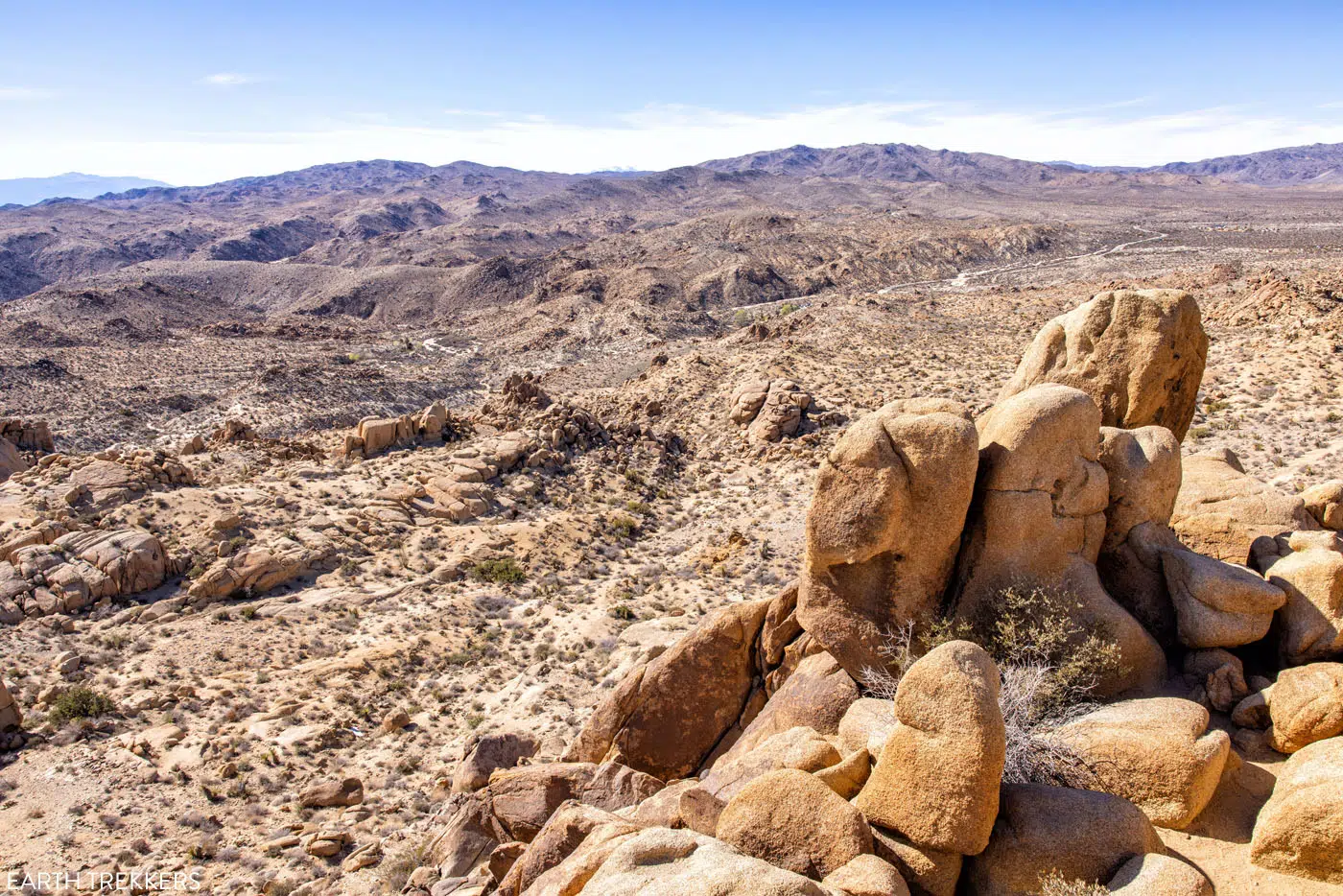
Mastodon Peak View | Best Hikes in Joshua Tree
As you descend Mastodon Peak, you will hike past an abandoned mine and then the trail works its way back to Cottonwood Oasis.
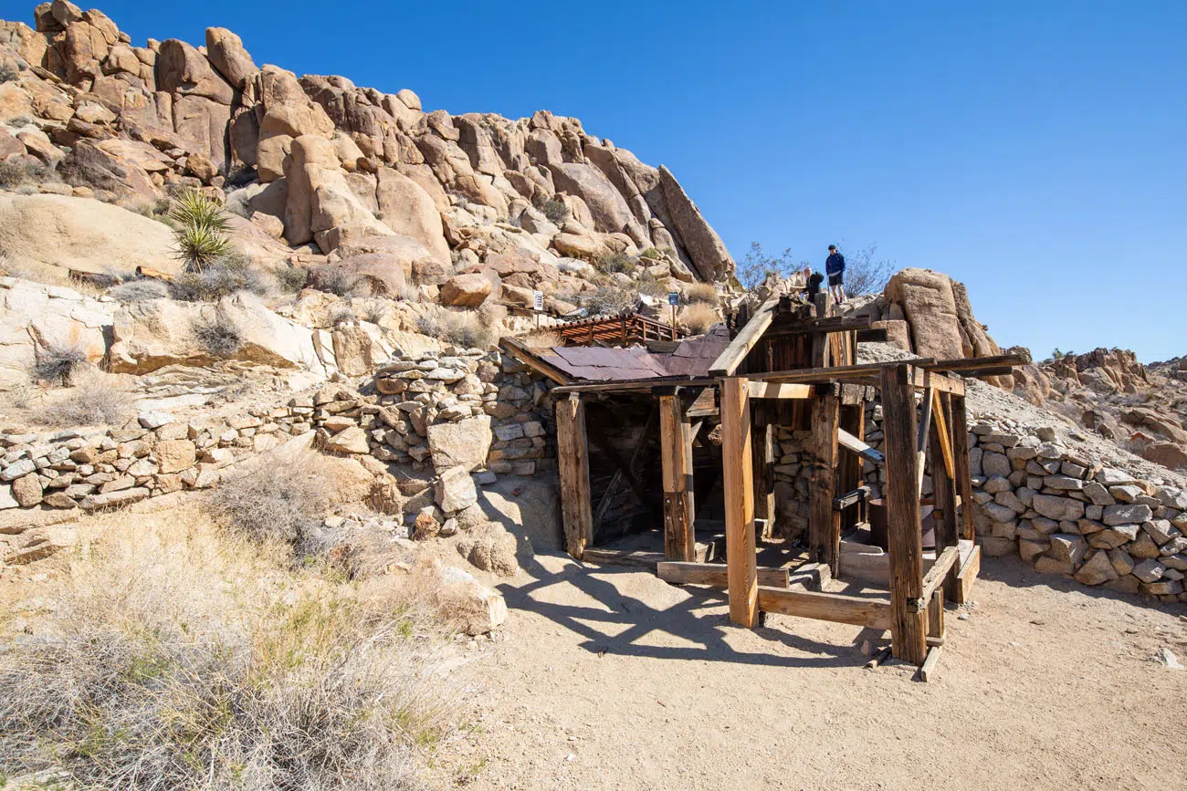
LOCATION: Near Cottonwood Visitor Center and the southern entrance to Joshua Tree National Park on Cottonwood Springs Road.
11. Fortynine Palms Oasis
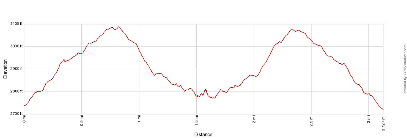
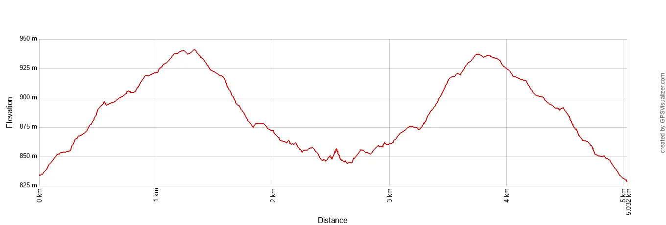
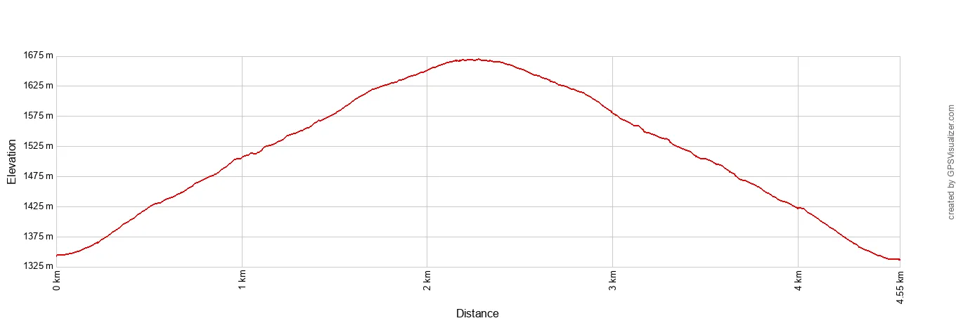
Distance: 3.2 miles | Difficulty: Moderate | Total Ascent: 775 feet | Time: 2 to 3 hours
Fortynine Palms Oasis Elevation Profile
Hiking to an oasis is one of the best things to do in Joshua Tree National Park. There are several oases to choose from and this one is our favorite.
The trail starts on the northern border of the park, near Twentynine Palms.
To get to the oasis, you will hike up and over a rocky mountain to get to this hidden, beautiful oasis. From the highest point along the trail, you also are treated to panoramic views of the town of Twentynine Palms.
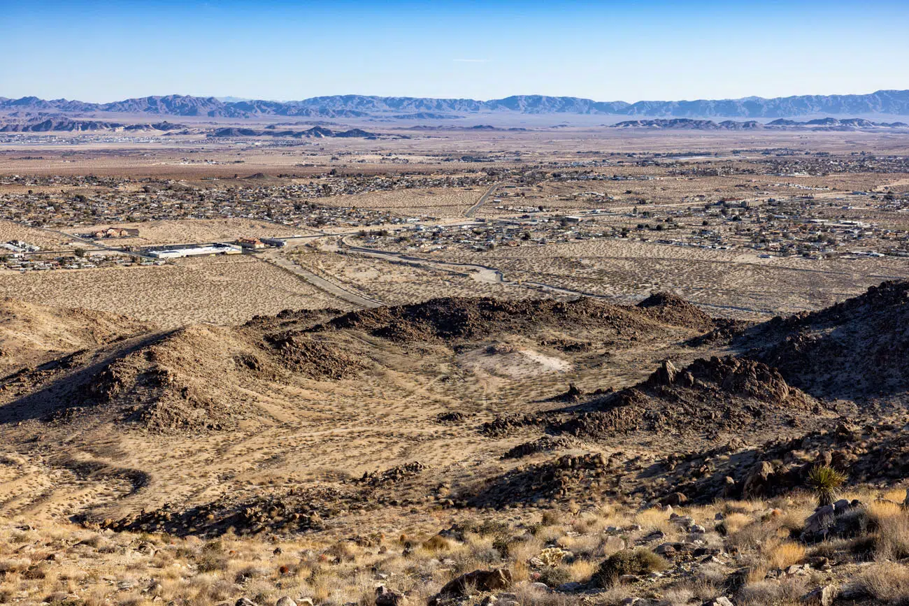
Twentynine Palms
On the opposite side of the mountain, the trail drops down into the oasis. There are several sections to this oasis. First you will see a small group of palm trees at the end of the trail.
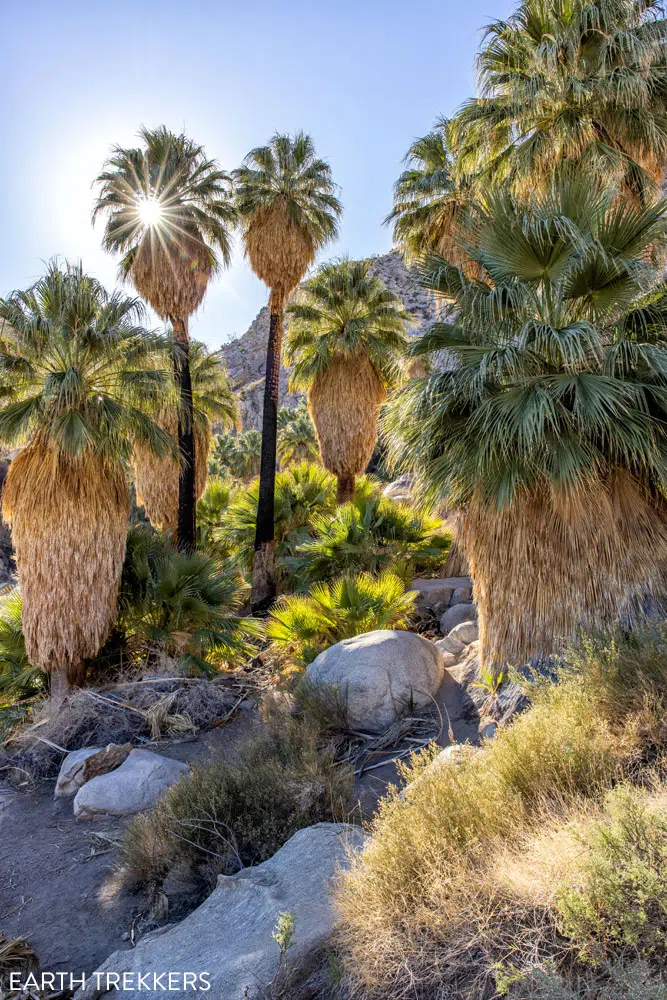
Fortynine Palms Oasis | Best Hikes in Joshua Tree
If you rock scramble up onto the boulders at the end of the trail, you get a great view of the small oasis and a view of the much larger one next to it.
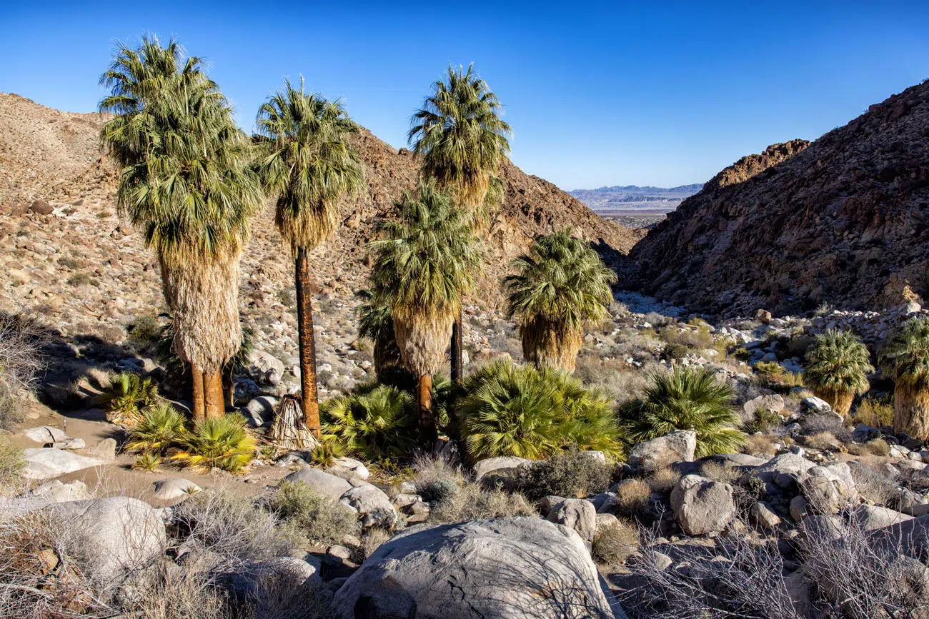
View of the smaller oasis

View of the larger oasis
LOCATION: This hike is located near the northern border of Joshua Tree National Park, near the town of Twentynine Palms. From Twentynine Palms Highway, turn onto Canyon Road and this becomes Fortynine Palms Canyon Road, which dead-ends at the parking lot and trailhead. There is a vault toilet at the trailhead.
12. Ryan Mountain
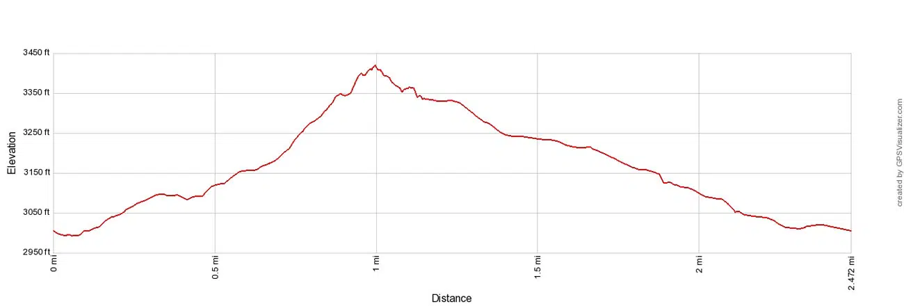
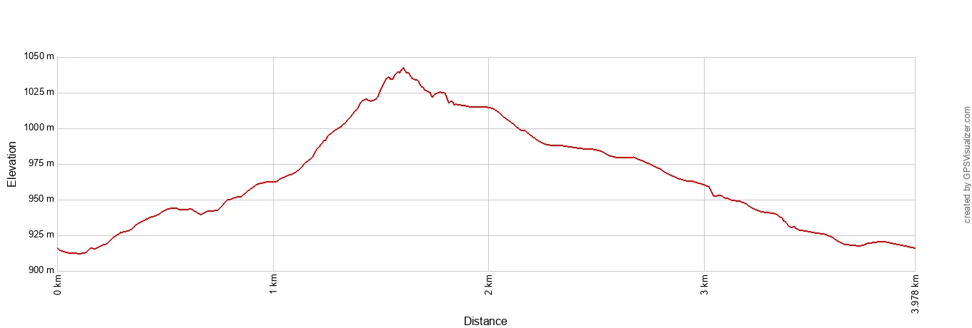
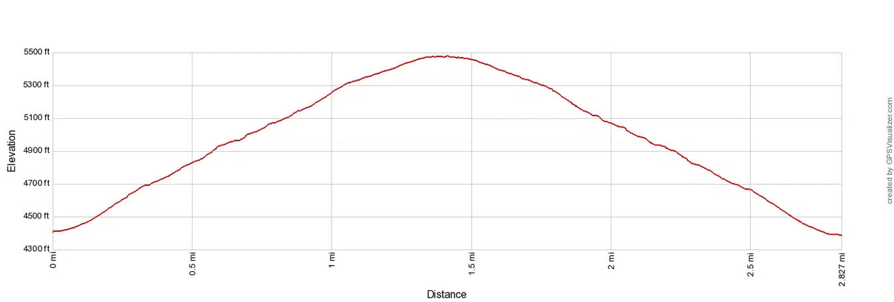
Distance: 2.9 miles out-and-back | Difficulty: Strenuous | Total Ascent: 1,075 feet | Time: 1.5 to 3 hours
Ryan Mountain Elevation Profile
This short, tough hike takes you to a panoramic viewpoint over the heart of Joshua Tree National Park.
From the trailhead, it is an uphill walk the entire way to the summit Ryan Peak. I would not call this a fun hike…the main reason to do it is for 360° views of the park.
Due to its challenging nature, this is a hike to skip during hot conditions. There is zero shade along the trail and since it is a steady, uphill hike, you will heat up fast.

Ryan Mountain Trail
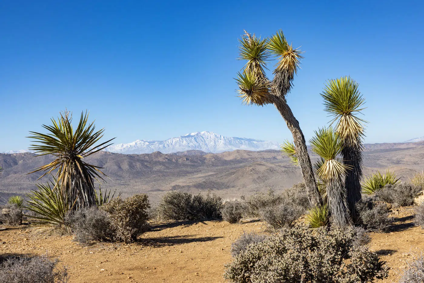
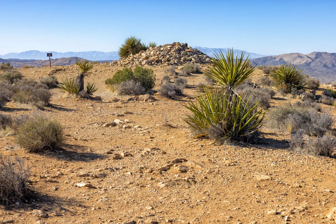
Ryan Mountain Peak | Best Hikes in Joshua Tree
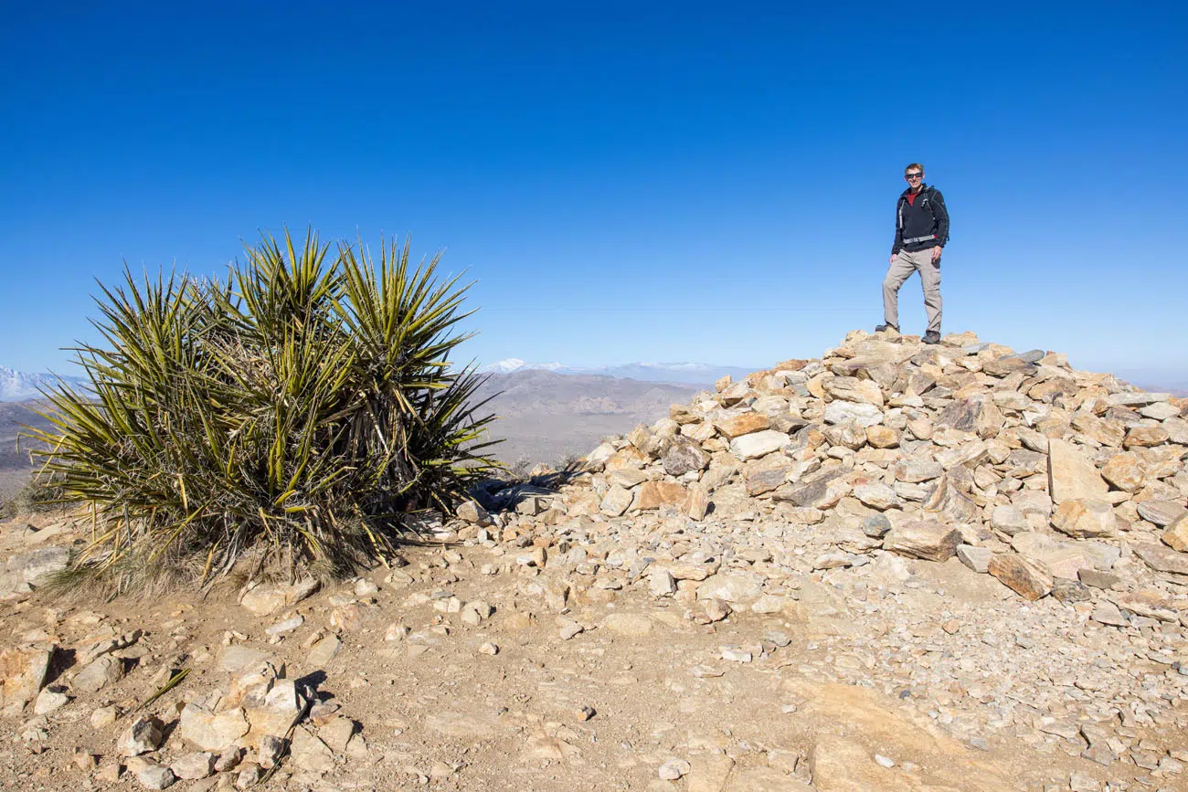
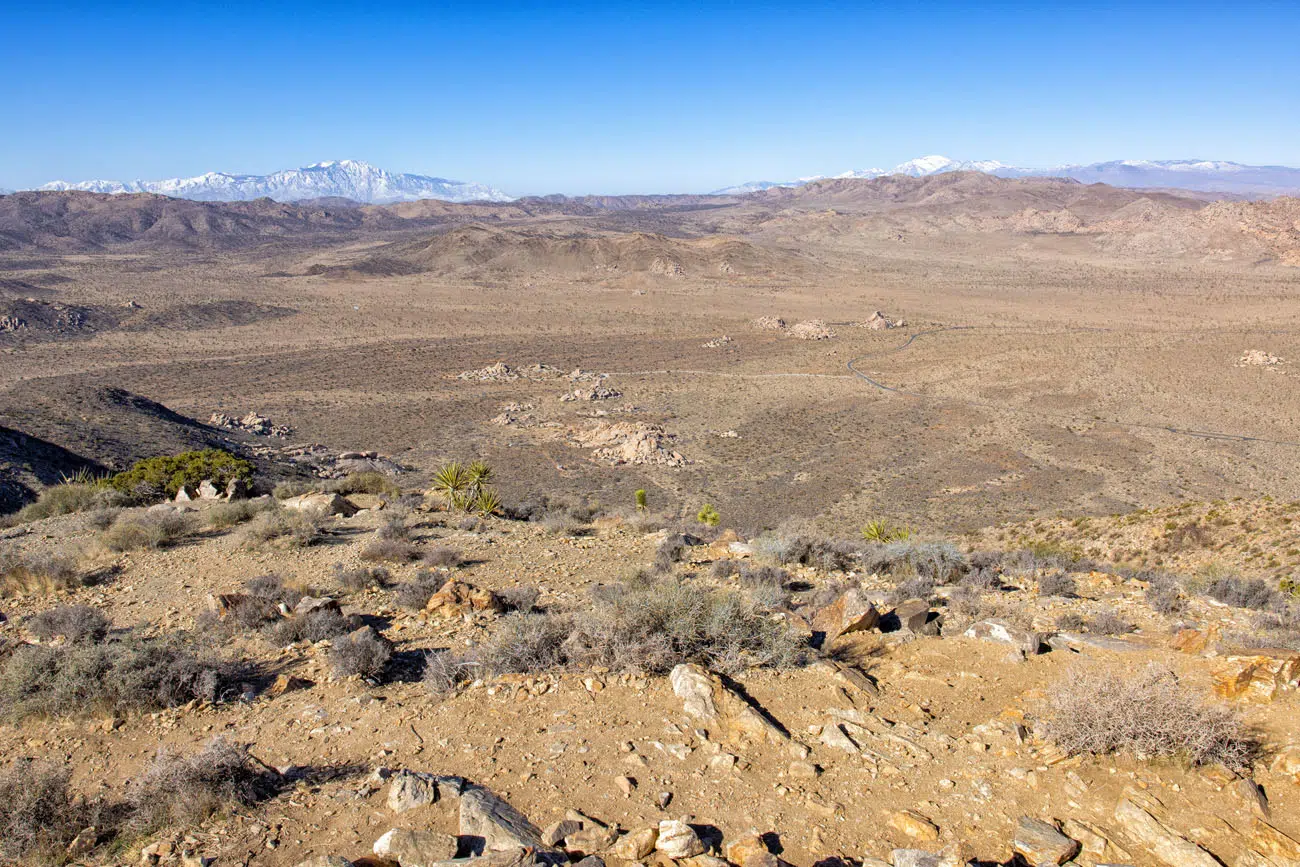
View from Ryan Mountain
LOCATION: Park Boulevard
13. Warren Peak
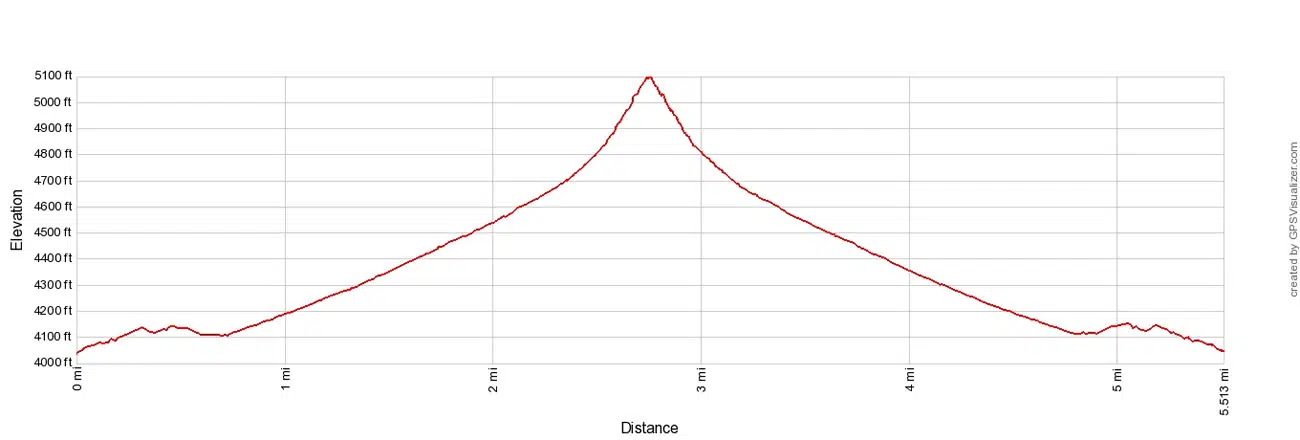
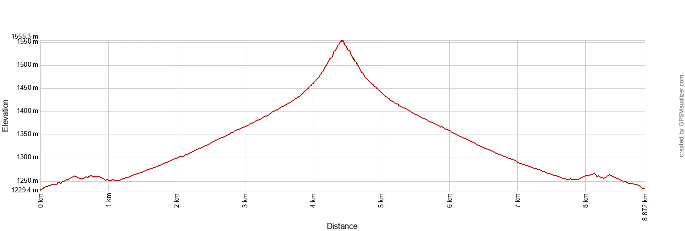
Distance: 5.5 miles | Difficulty: Strenuous | Total Ascent: 1,210 feet | Time: 2 to 4 hours
Warren Peak Elevation Profile
This is the quietest trail that we hiked in Joshua Tree National Park. Its remote location and challenging nature helps keeps crowds low, so if you are looking for some solitude, this is one of the best hikes in Joshua Tree National Park. The views are pretty sweet, too.
Starting at Black Rock Canyon Campground, the trail starts off flat, as you hike past tons of Joshua trees.
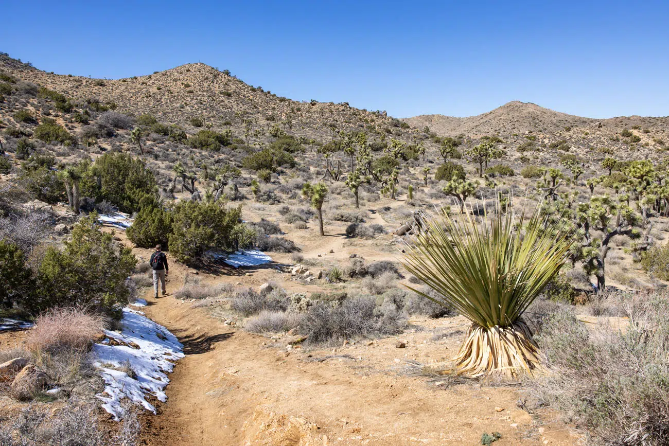
At roughly the 1-mile point, the trail widens and steadily heads uphill. It’s nothing too challenging, just a gradual incline and steady gain of elevation. The views along this part of the hike are nothing special and this is the most boring section of the hike.
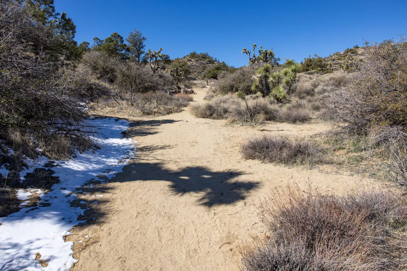
Just past the 2-mile point, the hike gets harder. The trail gets steeper as it approaches the Warren Peak summit.
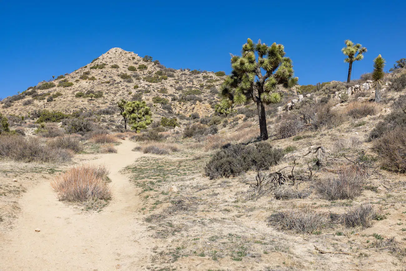
Warren Peak
But it’s worth it. The views from Warren Peak are some of the best in Joshua Tree National Park. From here, you are treated to panoramic views across the San Bernardino Mountains to San Jacinto and the Santa Rosa Mountains.
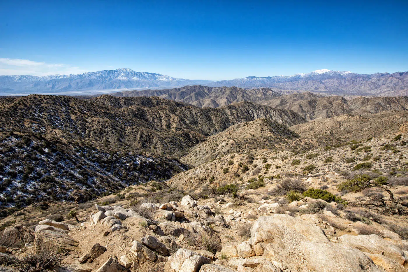
View from Warren Peak
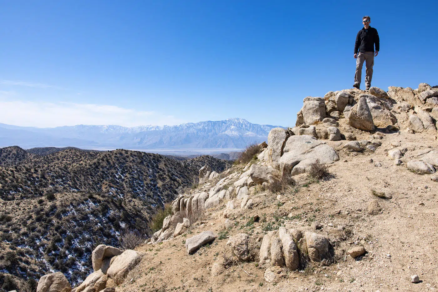
Since this is an out-and-back hike, you will follow the same trail back to the trailhead.
LOCATION: Black Rock Canyon Campground, which is in the northwestern corner of Joshua Tree National Park.
14. Boy Scout Trail
Distance: 8 miles one-way | Difficulty: Strenuous | Total Ascent: 1,200 feet | Time: 4 to 6 hours
This is a hike that we did not do but it sounds wonderful, so I couldn’t leave it off of this list.
Since this hike is 8 miles point-to-point, you need some sort of shuttle to do this hike (or make it 16 miles out-and-back). That means you need to have two cars or a friend or family member to drop you off and pick you up.
This trail runs from Park Boulevard to Indian Cove. Along the trail, you head through the wonderland of rocks and have great views of Joshua trees and boulder piles.
Please practice the seven principles of Leave No Trace: plan ahead, stay on the trail, pack out what you bring to the hiking trail, leave areas as you found them, minimize campfire impacts, be considerate of other hikers, and do not approach or feed wildlife.
Best Hikes in Joshua Tree: On a Map
How to Use This Map: Click the icons on the map to get more information about each point of interest. To take this map with you, click the star next to the title of the map which adds it to your Google account. Next, within your Google Maps app, select ‘Saved’ and then select ‘Maps’. This map title will now appear in your list.
Best Hikes in Joshua Tree: Our Recommendations
From the list of 14 trails, here are our 8 favorite hikes in Joshua Tree National Park.
- Hall of Horrors
- Skull Rock Trail
- Arch Rock Trail
- Fortynine Palms Oasis
- Mastodon Peak
- Warren Peak
- Cap Rock Nature Trail
- Cholla Cactus Garden
Best Short, Fun Hikes in Joshua Tree
The Hall of Horrors is our favorite hike in Joshua Tree. It’s short, it’s relatively easy, and searching for and then hiking through the slot canyon is tons of fun. From the Skull Rock Trail you get great viewpoints of the giant piles of boulders and along the trail there are spots to go rock scrambling. On Arch Rock Trail you get to see Heart Rock and scramble up to Arch Rock. Finally, the Cap Rock Nature Trail is quick and easy to do and a great place to see and learn about Joshua trees.
Best Hikes in Joshua Tree to Escape the Crowds
The hike to Warren Peak was the least crowded trail we hiked in Joshua Tree. We had the summit all to ourselves and saw just a handful of people on the trail. The Boy Scout Trail also tends to have low crowds, since it is a long, point-to-point hike.
If You Can Only Do One Hike…
I recommend the Skull Rock Trail since you get to see Joshua trees and boulder piles, which are both iconic sights in Joshua Tree National Park. This hike also has a great location on Park Boulevard.
Frequently Asked Questions
When is the best time to go hiking is Joshua Tree?
The best time to visit Joshua Tree is from late February through April and October and November, when the temperatures are mild. During these months, the high temperatures range from 60 to 80°F and the low temperatures are above freezing. During the summer months, it can get over 100°F, making this a dangerous time to hike in Joshua Tree. If you don’t mind chilly temperatures, winter is an option. Daytime highs during this time are in the upper 50’s.
What should you not miss in Joshua Tree?
Here is a list of the top experiences in Joshua Tree National Park. To learn more, read our article Top 10 Things to Do in Joshua Tree.
- Hike the Hall of Horrors
- Explore Hidden Valley
- Hike to Arch Rock and Heart Rock
- See Skull Rock
- Drive Geology Tour Road
- Go rock climbing
- Visit the Cholla Cactus Garden
- Hike to a hidden oasis
- Enjoy the view from Keys View
How many days do you need in Joshua Tree?
If you only want to see the highlights, then you only need one day in Joshua Tree. Drive Park Boulevard and hike the Skull Rock Trail, hike the Hall of Horrors, see Keys View, visit the Cholla Cactus Garden, and add on another hike like Hidden Valley or Arch Rock. Each additional day you add gives you time for more hikes and to explore more remote areas of the park, such as Berdoo Canyon, Fortynine Palms Oasis, and Black Rock Canyon.
If you have any questions about the best hikes in Joshua Tree National Park, let us know in the comment section below.
More Information about California
CALIFORNIA: To read all of our articles about California, check out our California Travel Guide.

Comments 11