The Ekblom Trail and Big Plateau Loop is one of the best hikes to do in Theodore Roosevelt National Park. Along this hike, you have numerous chances to spot wildlife, gaze out across the grasslands and colorful badlands, and get up close to the Little Missouri River.
When we did this, we saw mule deer, two coyotes, a feral horse, and more prairie dogs than we could count. It was one of our best wildlife experiences in the park. Crossing the Little Missouri River was lots of fun and we loved the varied terrain along the trail.
If you are looking for an interesting hike to do in the South Unit of Theodore Roosevelt National Park, this is one to consider.
Ekblom Trail & Big Plateau Loop Hiking Stats
Distance: 5.2 miles
Difficulty: Moderate
Total Ascent: 565 feet
Length of Time: 2 to 3 hours
When to Go: The best time to do this hike is in the spring and fall, when temperatures are mild. In the summer, very hot temperatures are likely, as are violent thunderstorms. During the winter, snow and extremely cold temperatures are likely.
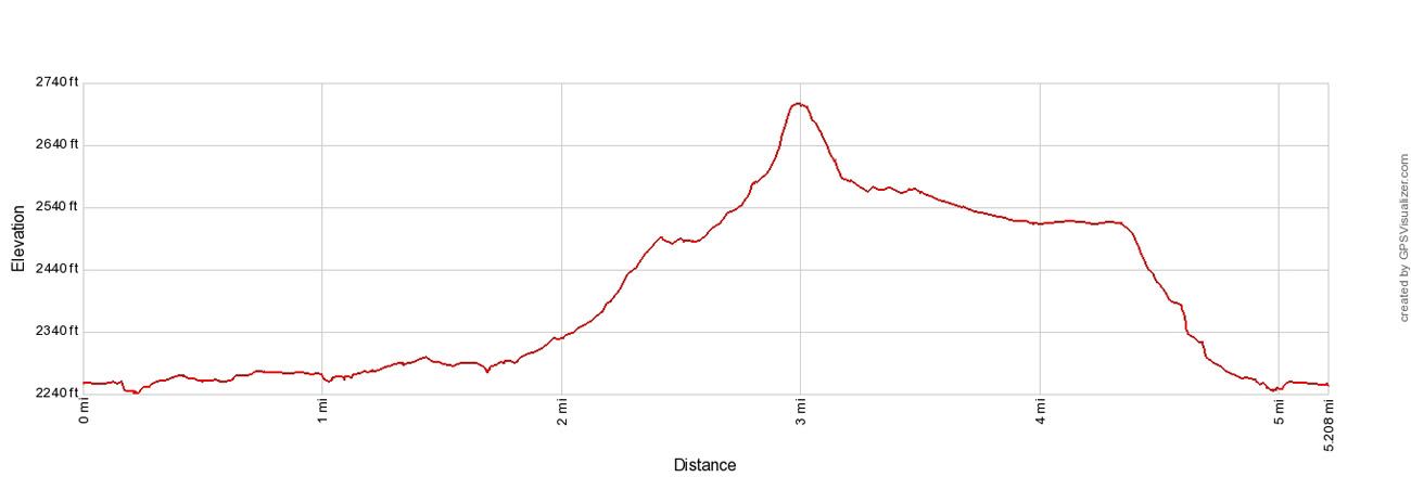
Elevation profile of the hike in a clockwise direction: Ekblom Trail → Maah Daah Hey Trail → Big Plateau Trail → Ekblom Trail
Please practice the seven principles of Leave No Trace: plan ahead, stay on the trail, pack out what you bring to the hiking trail, properly dispose of waste, leave areas as you found them, minimize campfire impacts, be considerate of other hikers, and do not approach or feed wildlife.
Hiking the Ekblom Trail and Big Plateau Loop
Step-By-Step Trail Guide
Overview
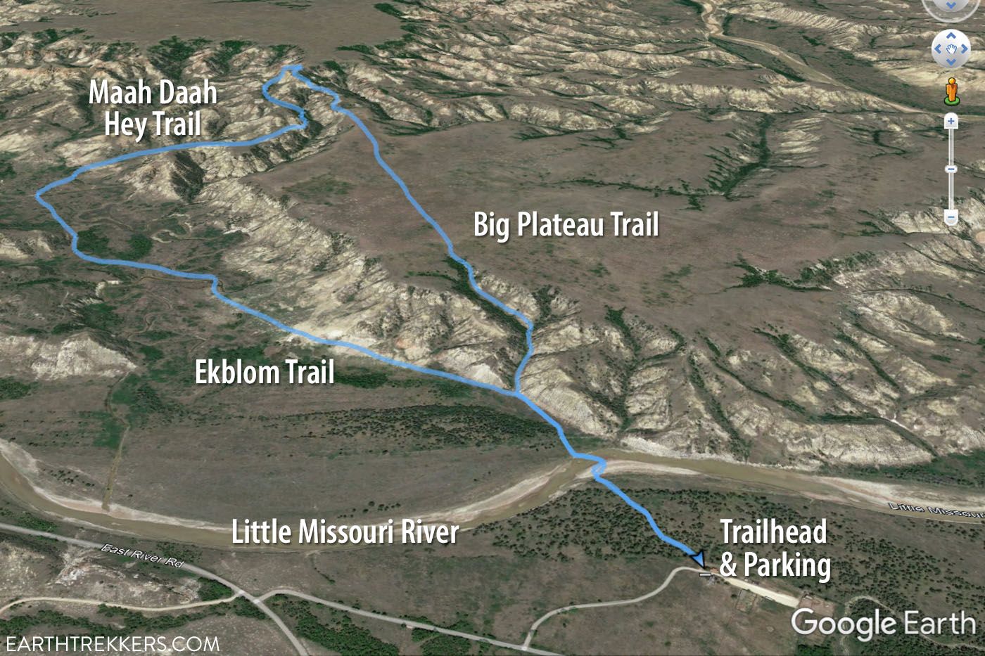
Since this hike is a loop, you can do it in either direction. The trail starts at the Peaceful Valley Ranch, crosses the Little Missouri River, and just beyond this is the loop.
If you do this in a clockwise direction (how it is described in this guide, since that is the direction that we did it), it will be a gradual climb up onto Big Plateau and then a very short, steep descent back to the Little Missouri River.
If you do this in a counter-clockwise direction, you will have a very steep climb at the beginning of the loop, followed by the flat walk across Big Plateau, and then you will gradually descend as you walk back to the Little Missouri River.
Getting to the Trailhead
The Ekblom Trail and Big Plateau Loop starts at Peaceful Valley Ranch.
From the South Unit Visitor Center, take East River Road 6.6 miles. Turn left to go to Peaceful Valley Ranch and park in the small parking lot. The trailhead is located in this parking lot. Here are the GPS coordinates of the parking lot and trailhead: 46°57’32.7″N 103°30’15.5″W
Ekblom Trail
At first, it is a flat, easy walk through a forest. At 0.25 miles, you reach the Little Missouri River.
When we did this (early October), water levels were low and there was a small series of stepping stones that we used to cross the river. There were a few spots where our shoes slipped off of the rocks into the river, but it wasn’t very deep and our feet stayed dry. If you have waterproof hiking shoes or boots, bring them for this hike.
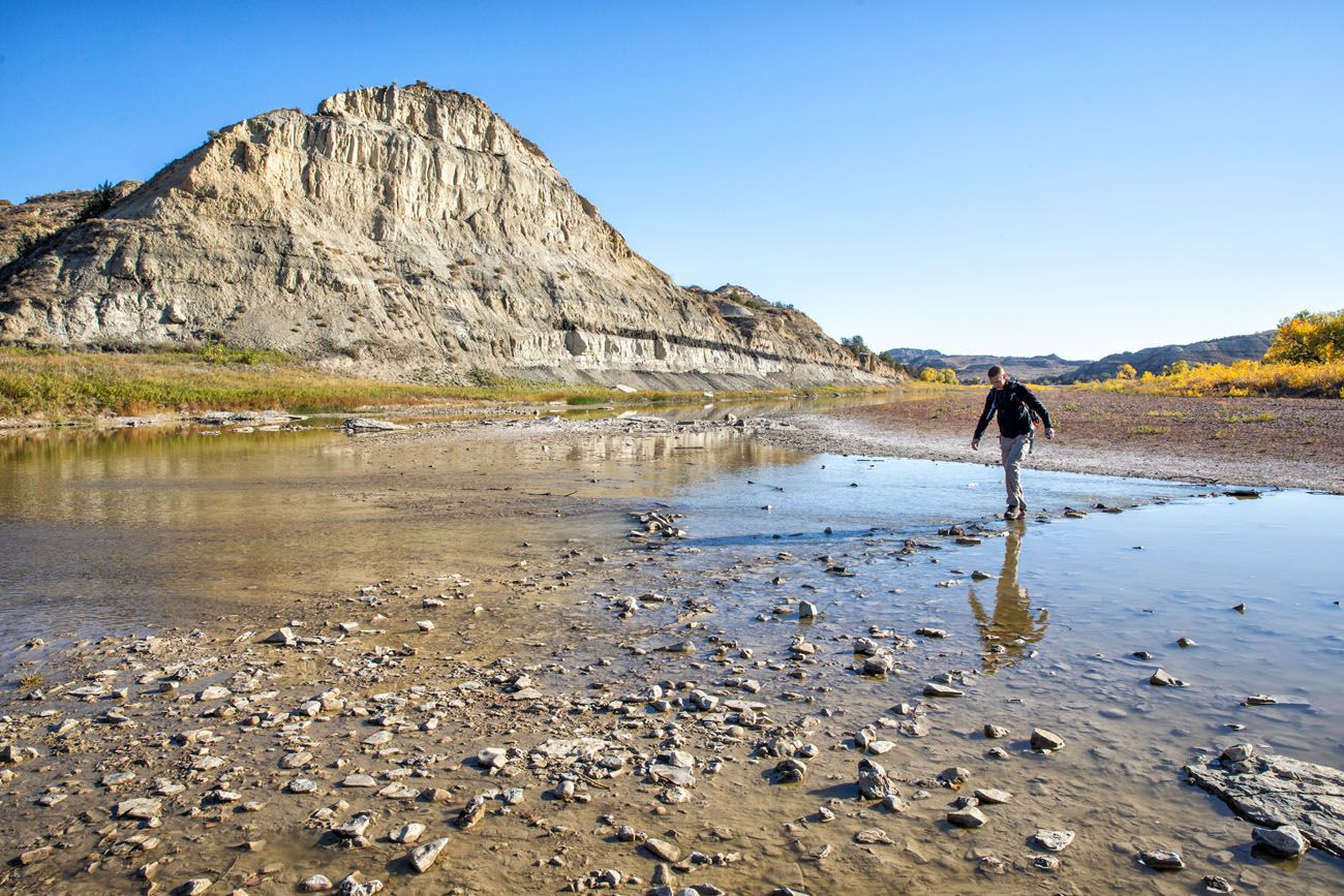
If water levels are high and this “bridge” is not here, then you will need to remove your shoes to cross to the other side. And just so you are aware, you will repeat this river crossing at the end of the hike, too.
In about another quarter mile (roughly 0.5 miles into the hike) you reach the first trail junction.
To do the loop in a counter-clockwise direction (how this hike is described in this guide), go left to stay on the Ekblom Trail. If you go right, you will be on the Big Plateau Trail and almost immediately you will start the very steep hike onto the plateau.
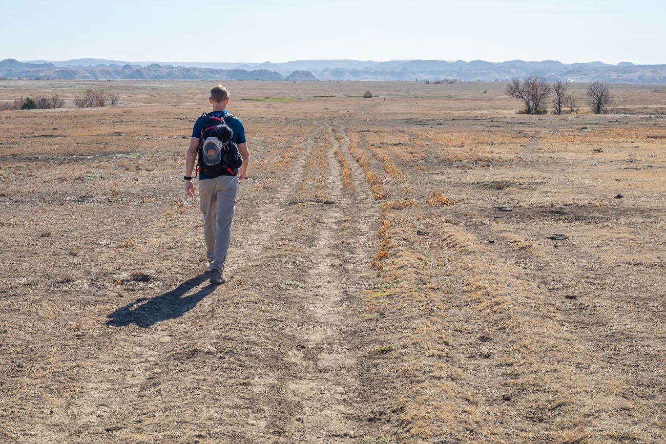
Beyond the Little Missouri River, the Ekblom Trail is mostly flat. You will walk through an enormous prairie dog town and keep an eye out for other wildlife. We saw coyote and mule deer here.
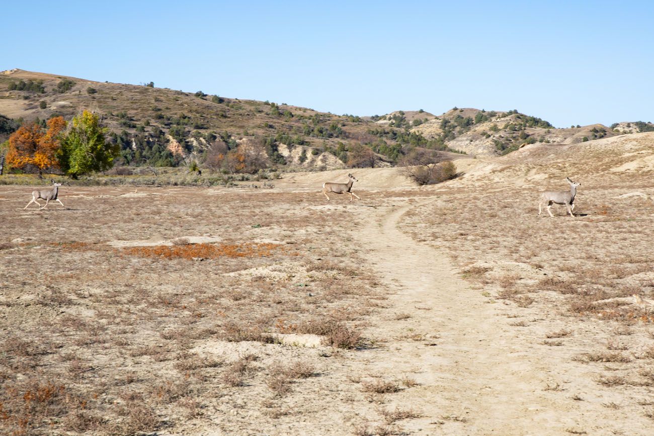
Mule Deer
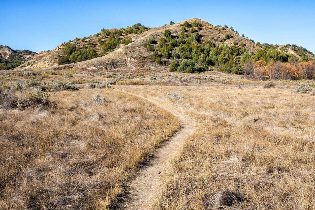
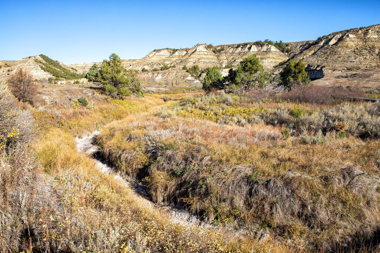
View from the Ekblom Trail
Maah Daah Hey Trail
About 1.5 miles into the hike, turn right to take the Maah Daah Hey Trail. For 1.3 miles, this trail steadily climbs up onto Big Plateau. The terrain, and the views, are constantly changing, which keeps this part of the hike interesting.
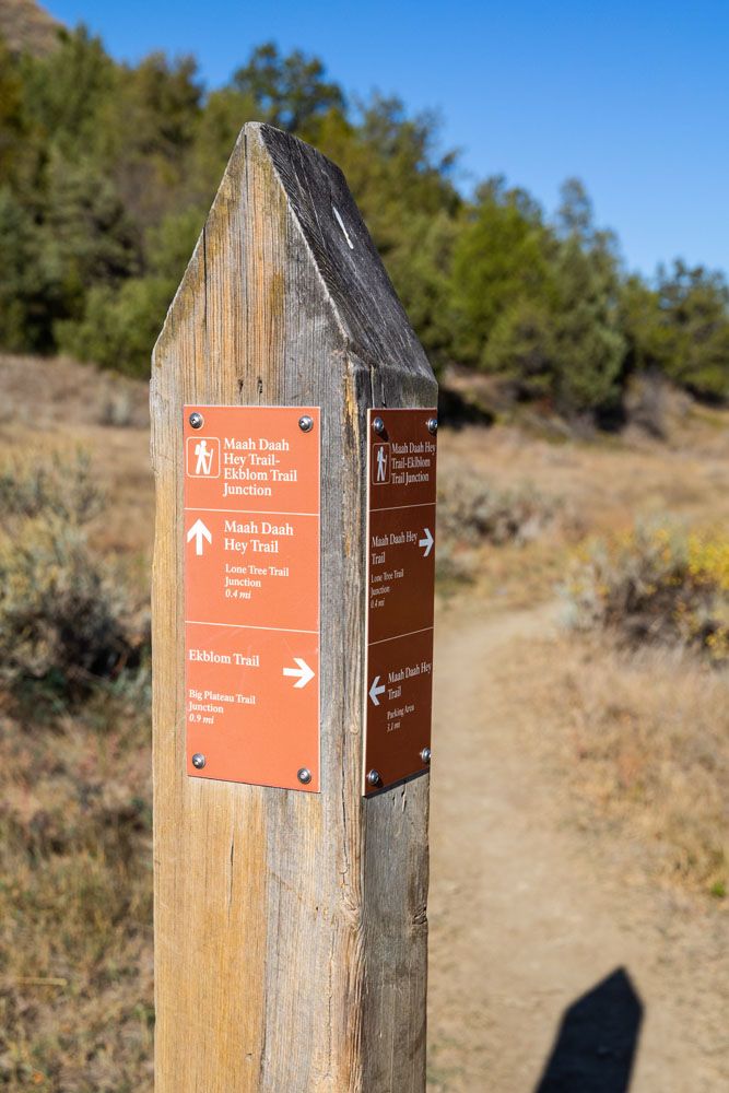
Maah Daah Hey Trail Junction sign
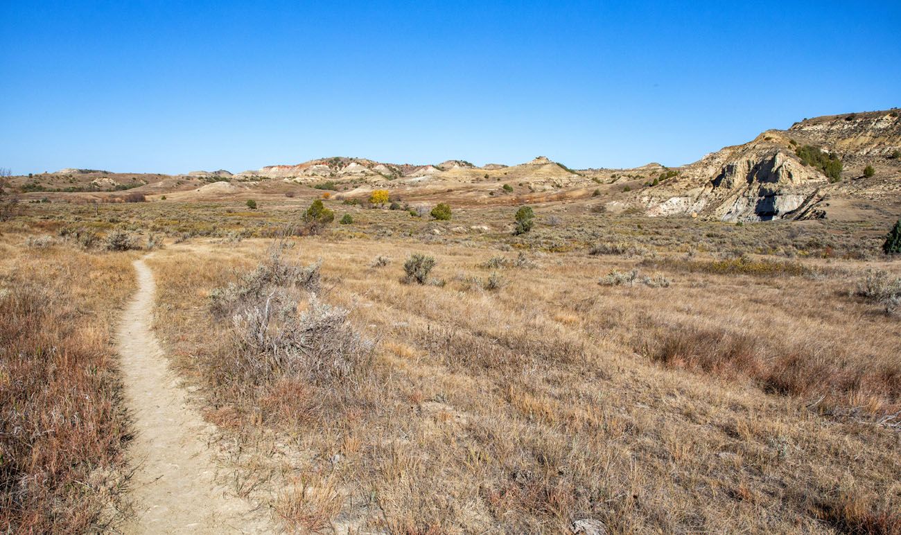
Maah Daah Hey Trail
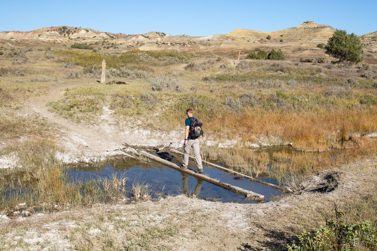
Just before the junction with Lone Tree Trail, there will be another water crossing.
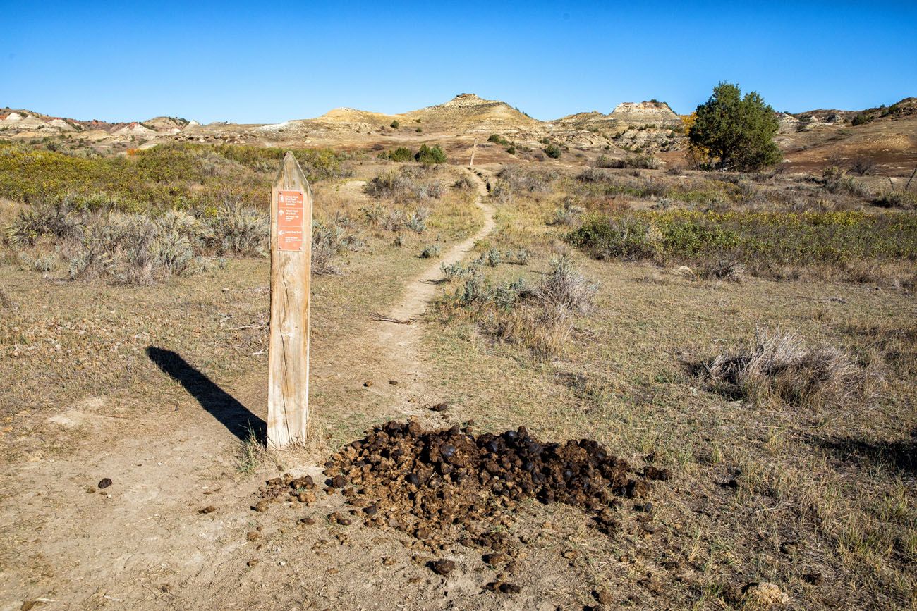
Trail junction with Lone Tree Trail. Continue to follow signs for the Maah Daah Hey here. We saw huge piles of horse poop like this all along this part of the hike.
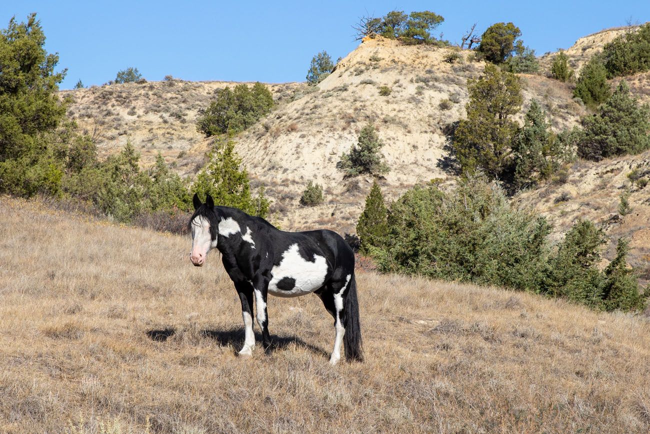
Feral horse.
There will be one short and very steep climb to get up onto the plateau, but from here, it’s a mostly downhill walk for the rest of the hike. From the top of the plateau, you get to enjoy 360° views of Theodore Roosevelt National Park.
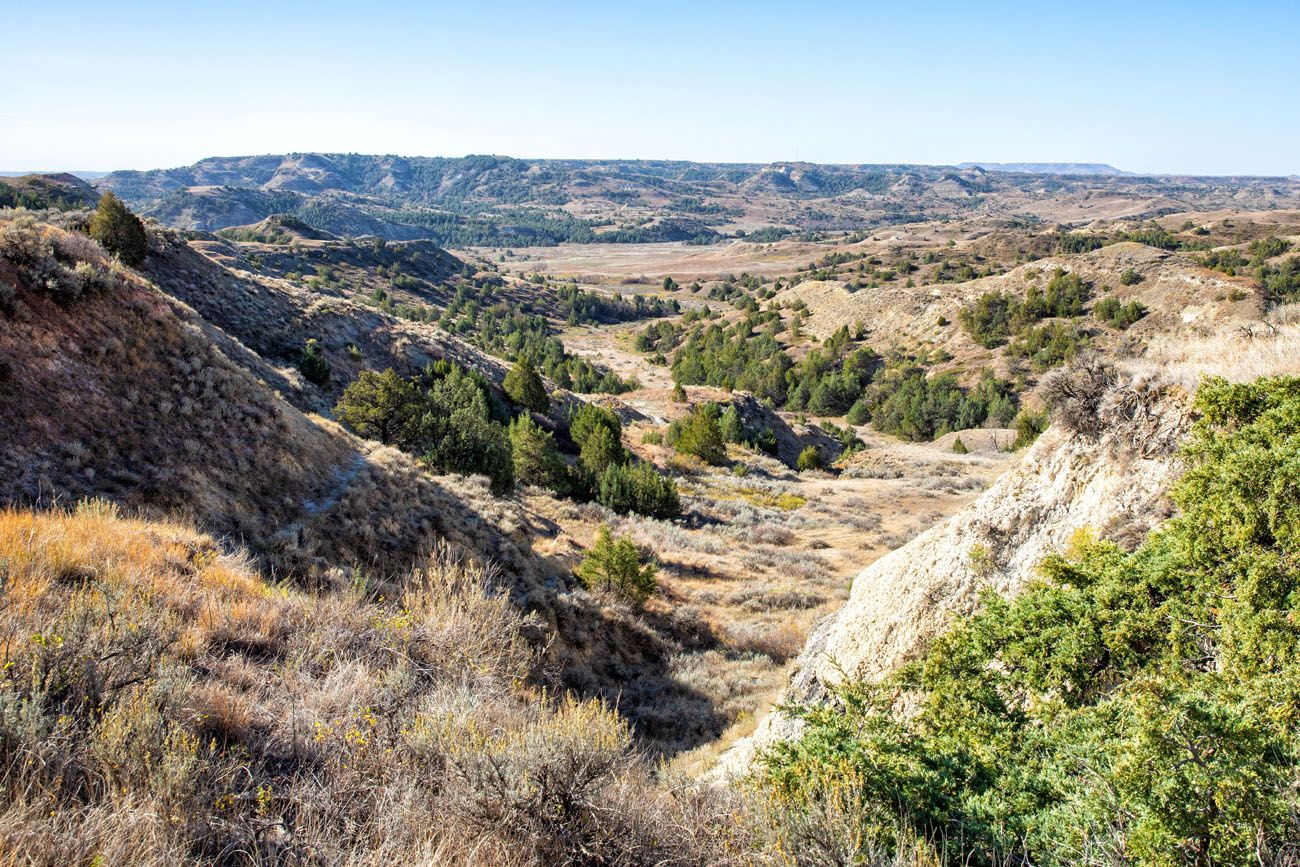
The view as you hike up the Maah Daah Hey trail to Big Plateau.
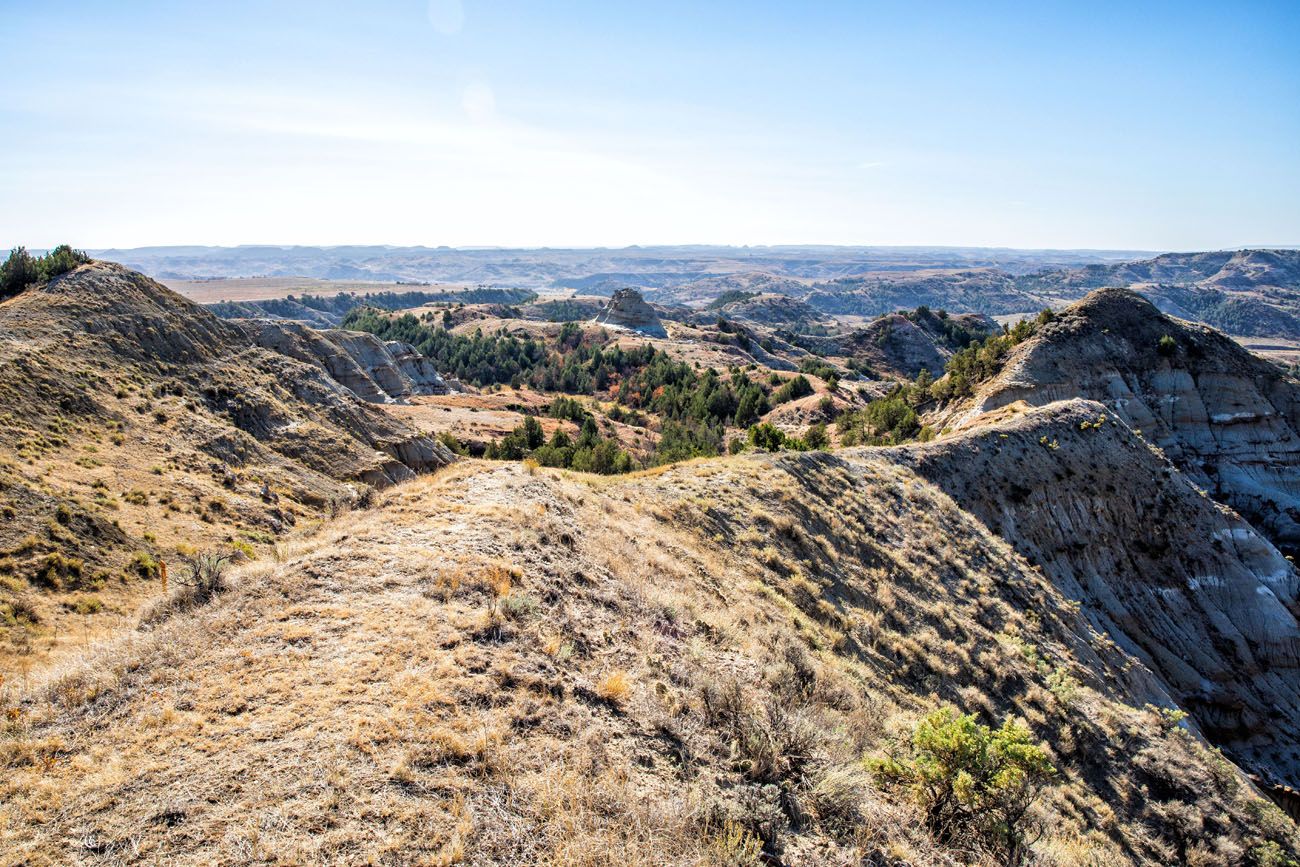
View from the top of the plateau.
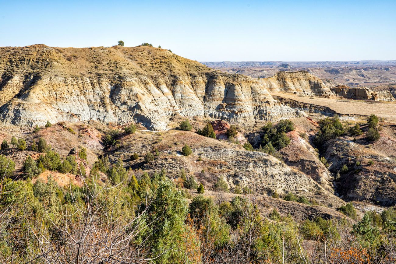
Another view from the top of the plateau.
COOL FACT: The Maah Daah Hey Trail is a 144-mile trail that starts roughly 30 miles south of the South Unit of Theodore Roosevelt National Park and runs to the North Unit. It is a hiking, mountain biking, and horseback riding trail. As you visit the various units of TRNP, there is a good chance that you will read about this trail again.
Big Plateau Trail
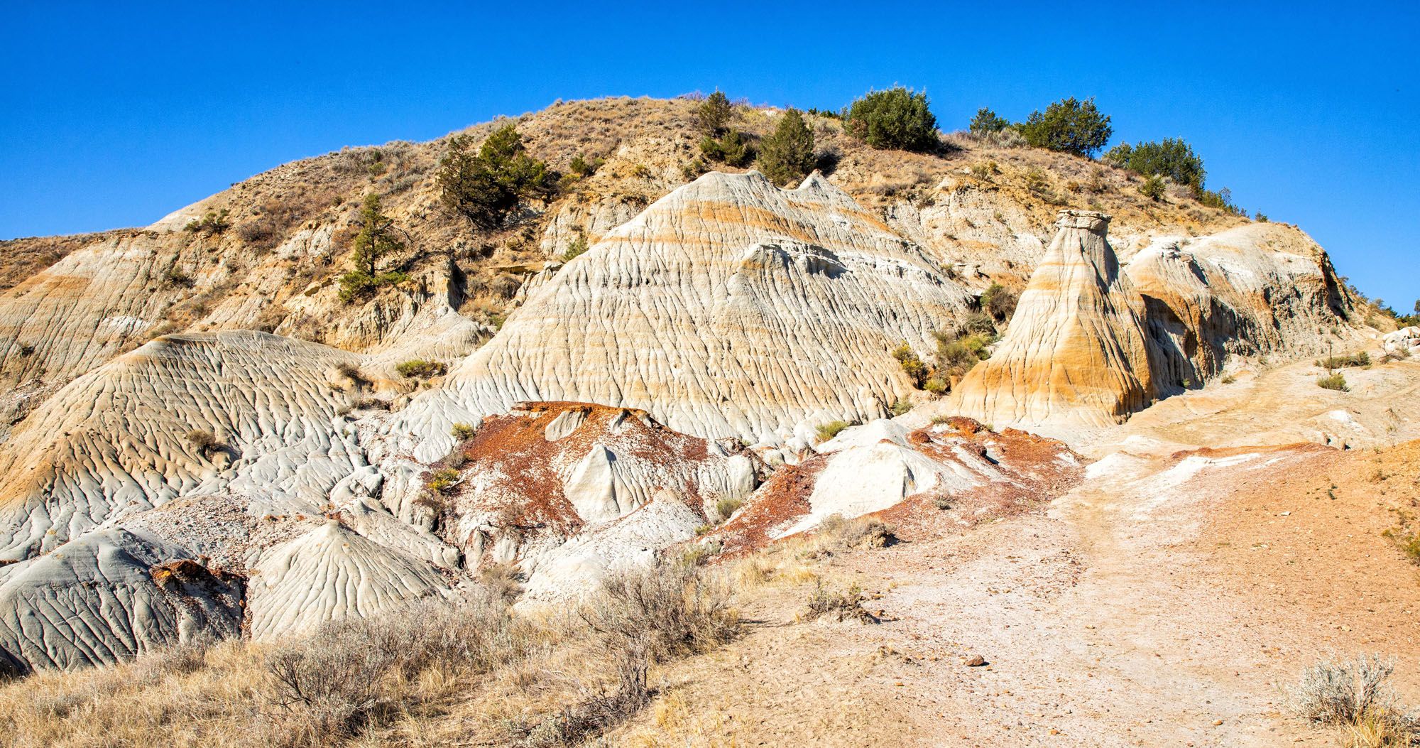
The next part of the hike is great. As you descend down onto Big Plateau, you walk through a colorful section of badlands. This was our favorite part of the hike (but crossing the Little Missouri River was a close second).
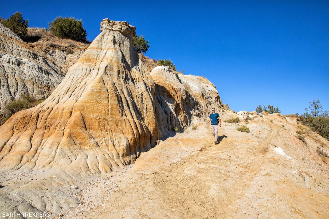
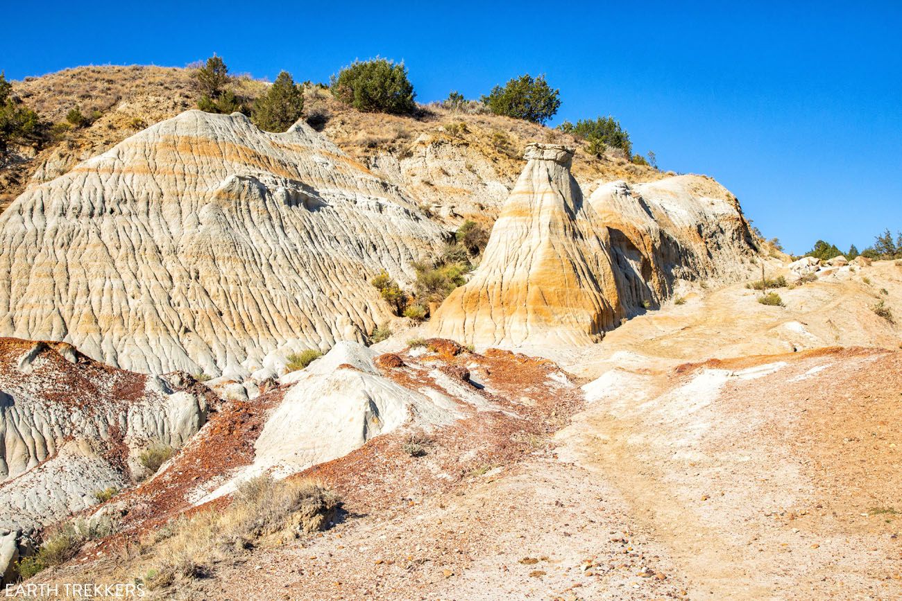
Once this first descent ends, it is a long, flat walk across the plateau. Barking prairie dogs help to keep things interesting, but this is the most boring part of the hike. There is a good chance that you could also see bison here although we were not that lucky.
WILDLIFE SAFETY: There is a chance that you will see bison on this hike. If you do, keep your distance. It might not look like it, but bison can run fast (up to 35 mph, which is much faster than the fastest humans). The National Park Service recommends staying at least 25 yards away from a bison. You also need to keep a lookout for rattlesnakes, especially during the summer and early fall.
At the end of the plateau, the trail rapidly drops in a short distance and then you will be back to the first trail split. Turn left to hike the Ekblom Trail, cross the Little Missouri River, and then it is a short, easy walk to the parking lot.
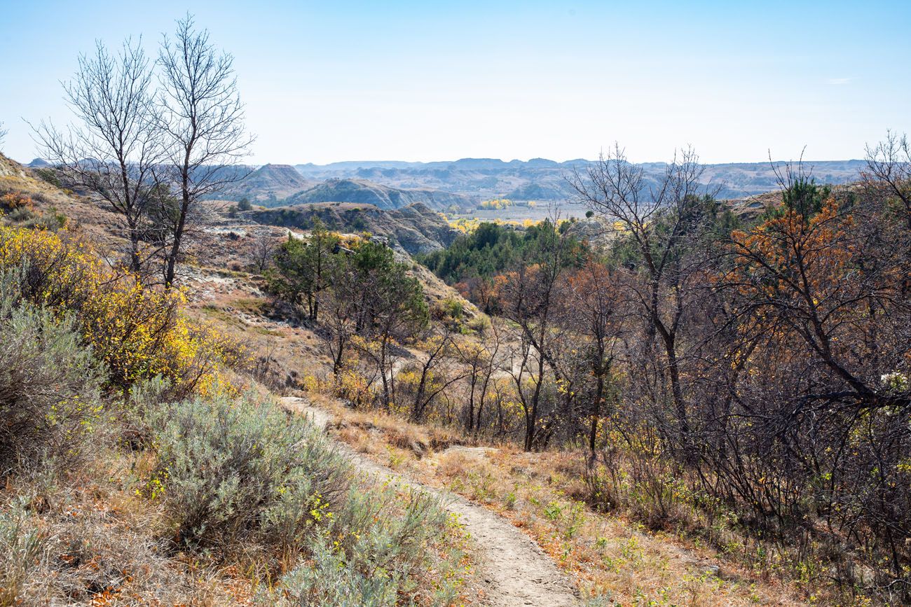
The final descent on the way back to the parking lot.
Tips to Have the Best Experience
If you plan to visit Theodore Roosevelt National Park from June through September, be aware that it can get very hot. During the summer months, thunderstorms can pop out of nowhere. Plan to hike first thing in the morning or at the very end of the day, when temperatures are at their coolest.
Bring sunblock and water on this hike. Plan on bringing at least 1 to 2 liters of water per person.
Hiking Shoes. Ideally, wear waterproof hiking shoes or boots to keep your feet dry during the river crossing.
If you are new to hiking or are curious about what you should bring on a hike, check out our Hiking Gear Guide. Find out what we carry in our day packs and what we wear on the trails.
If you have any questions about how to hike the Ekblom Trail and Big Plateau Loop, let us know in the comment section below.
Where Are You Going Next?
BEST OF THEODORE ROOSEVELT NP: Best Things to Do in Theodore Roosevelt National Park
SOUTH UNIT: Complete Guide to the South Unit of Theodore Roosevelt NP
NORTH UNIT: Complete Guide to the North Unit of Theodore Roosevelt NP
HIKING IN THE NORTH UNIT: How to Hike the Caprock Coulee Trail
US NATIONAL PARKS: The Complete Guide to the US National Parks
HIKES IN THE NATIONAL PARKS: 20 Short, Fun Hikes in the US National Parks
If this is part of a bigger road trip through the USA, visit our United States Travel Guide for more inspiration and travel planning tips.
All rights reserved © Earth Trekkers. Republishing this article and/or any of its contents (text, photography, etc.), in whole or in part, is strictly prohibited.

Comments 3