Julie Italy 89 Comments

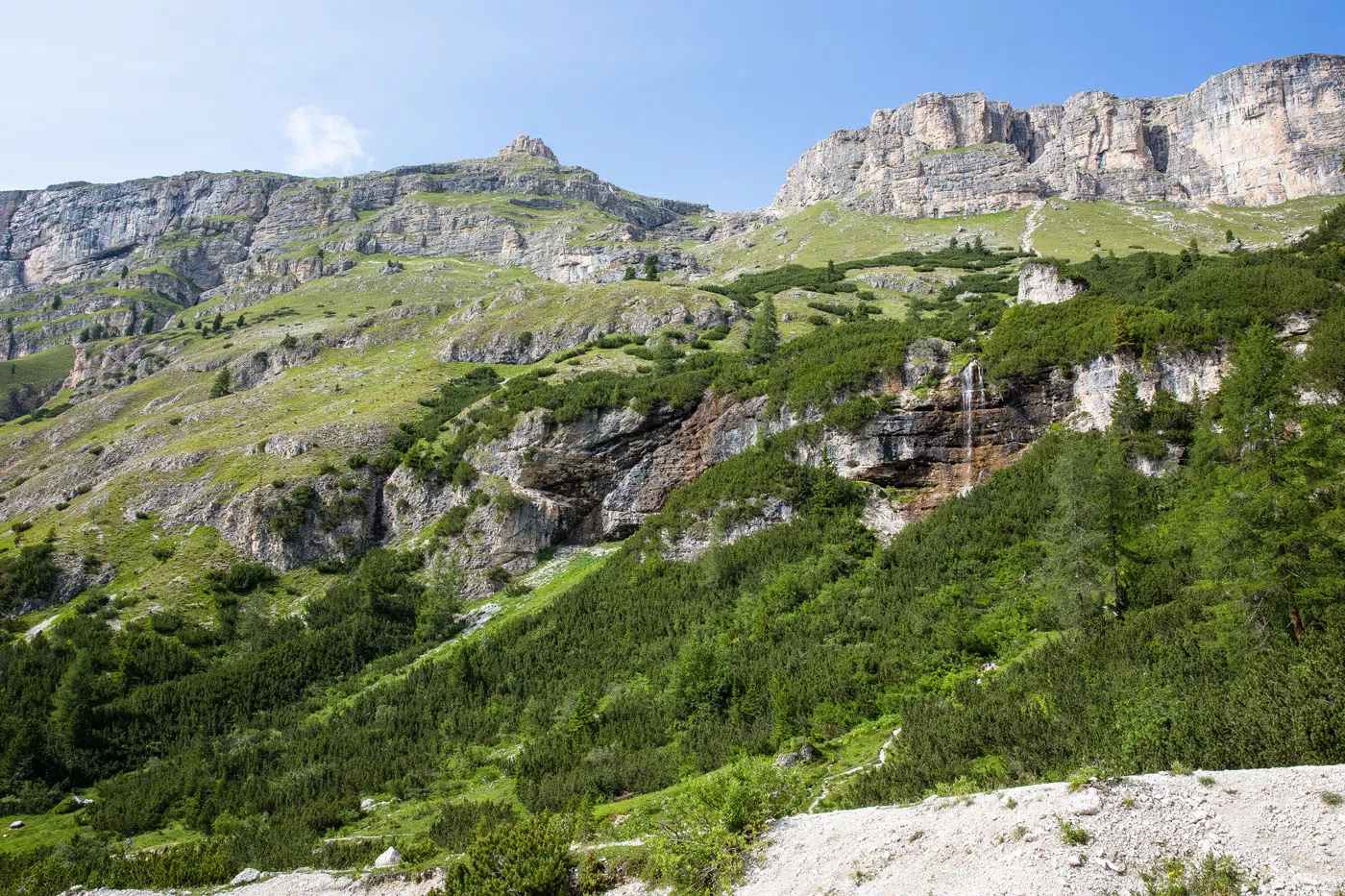
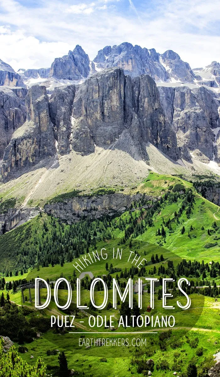
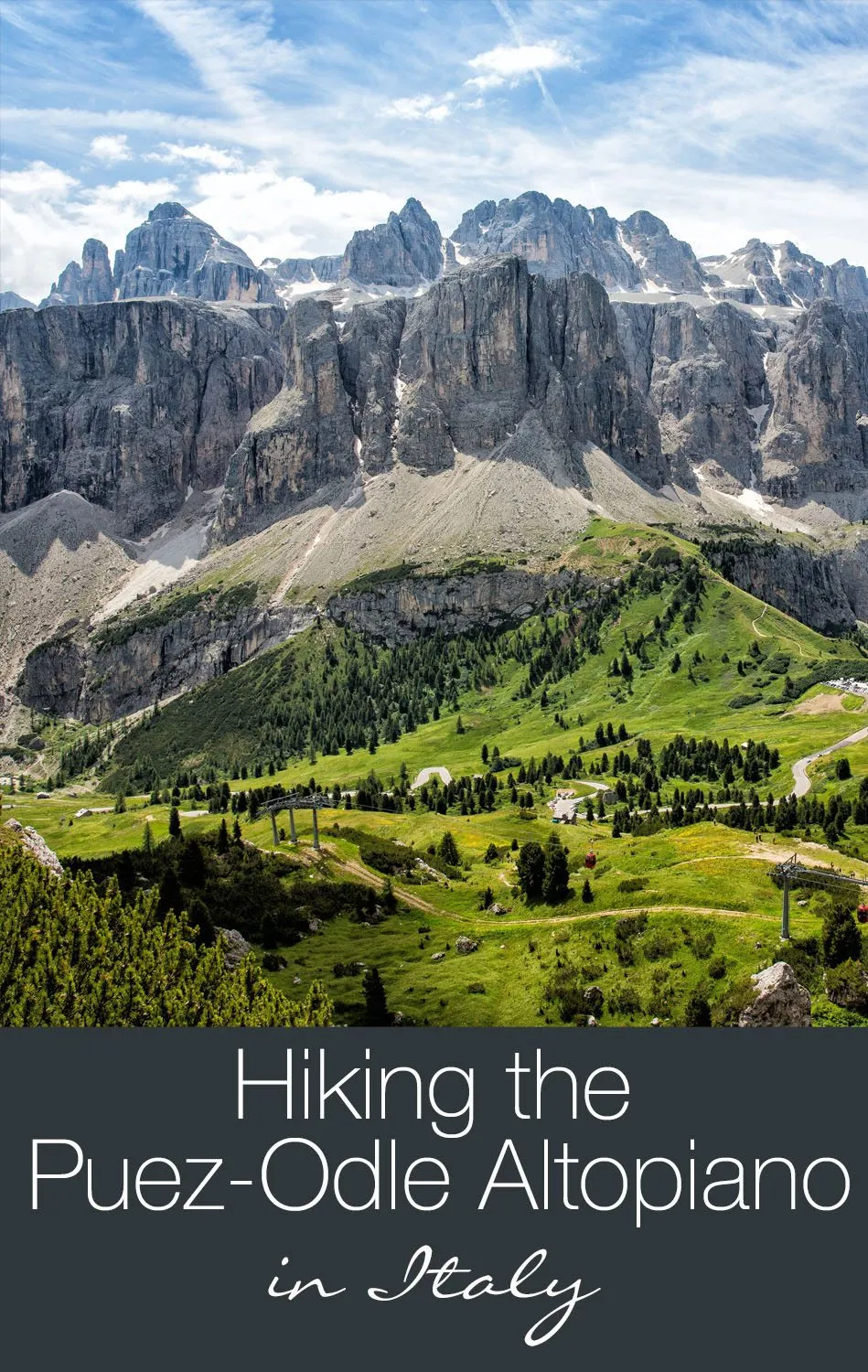
The Puez-Odle Altopiano is a spectacular hike from start to finish. With jaw-dropping views of the Dolomites, fields of wildflowers, and endless alpine views, this is our favorite hike in the Dolomites.

The Puez-Odle hike is a 10.6 mile hike along some of the highest mountain peaks in the Dolomites.  The hike involves 850 meters of climbing (a chairlift shaves 700m off the first ascent) and 1,500 meters of descent.  The length of the hike and the amount of climbing were just enough to make it challenging, and the views are what really kept it interesting.

We were lucky enough to have blue skies for most of the hike, allowing us to have views out to the other mountains in the surrounding area.

Puez-Odle Altopiano Hiking Stats

Distance: 17 km (10.6 miles) point-to-point
Total Ascent: 850 meters (2,800 feet)
Total Descent: 1,500 meters (4,900 feet)
Time: 6 to 9 hours
Difficulty: Moderate to strenuous
When to go: This hike is best during the summer months, when the wildflowers are in bloom.
Bring: Hiking shoes, water, snacks or lunch, a jacket (it is chilly at the higher elevations), and of course, your camera.
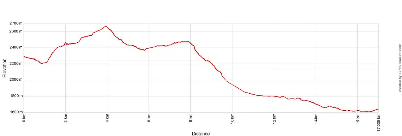
Puez-Odle Altopiano Elevation Profile

Elevation profile

Please practice the seven principles of Leave No Trace: plan ahead, stay on the trail, pack out what you bring to the hiking trail, properly dispose of waste, leave areas as you found them, be considerate of other hikers, and do not approach or feed wildlife.

Hiking the Puez-Odle Altopiano

Step-By-Step Trail Guide

Selva di Val Gardena

The hike starts in the town of Selva di Val Gardena, in the Upper Val Gardena area of the Dolomites.  For us, this was an hour and a half drive from our hotel. Winding roads and numerous passes through the mountains made the drive incredibly scenic.

Here is a map of the Dolomites, with the location of Selva di Val Gardena, the chairlift that takes you to the start of the hike, and the location of Rifugio Puez, a restaurant/hotel located along the hike.
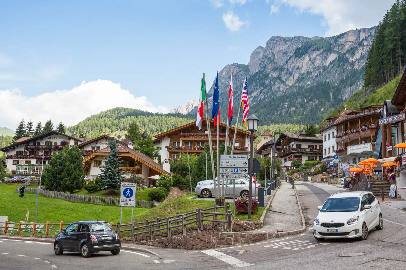
 

Selva di Val Gardena

Selva di Val Gardena

Dantercepies Gondola

To get to the start of the Puez-Odle hike, park in Selva di Val Gardena and walk to the Dantercepies gondola. There is a parking lot next to the gondola. This gondola takes you up into the mountains, shaving off a portion of your climb. This saves a lot of time and energy and provides awesome views on your way to the top.

Note: The Dantercepies gondola does not operate all year. In the summer, it runs from mid-June through early October. Get exact dates here.
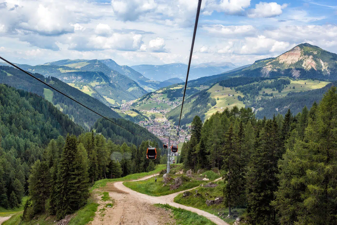
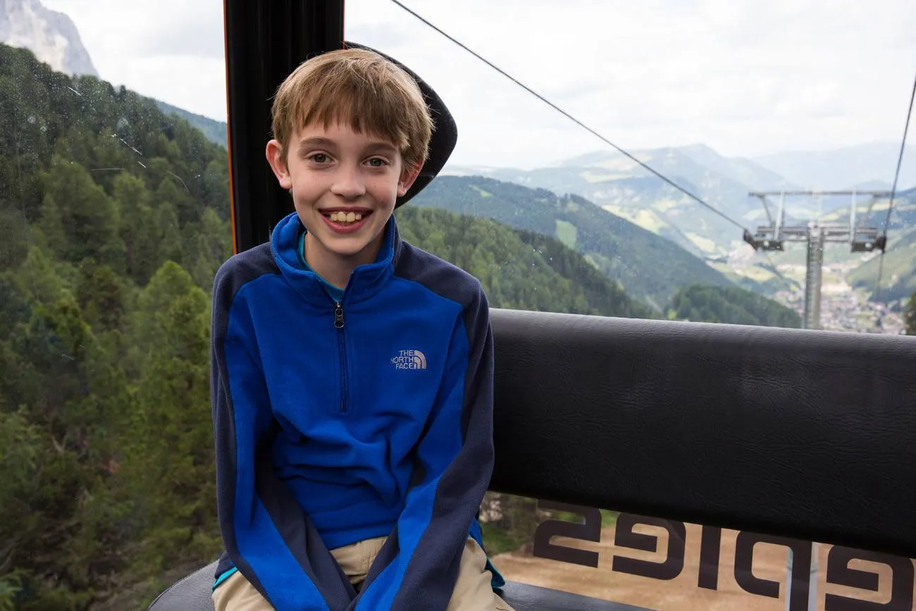
Dantercepies Gondola

Tyler Rivenbark Italy


From the gondola, follow the wide trail east towards Rifugio Jimmy. Enjoy those views along the way!
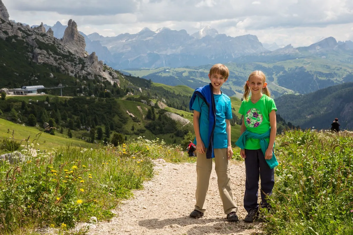
Tyler and Kara Dolomites

Rifugio Jimmy to Rifugio Puez

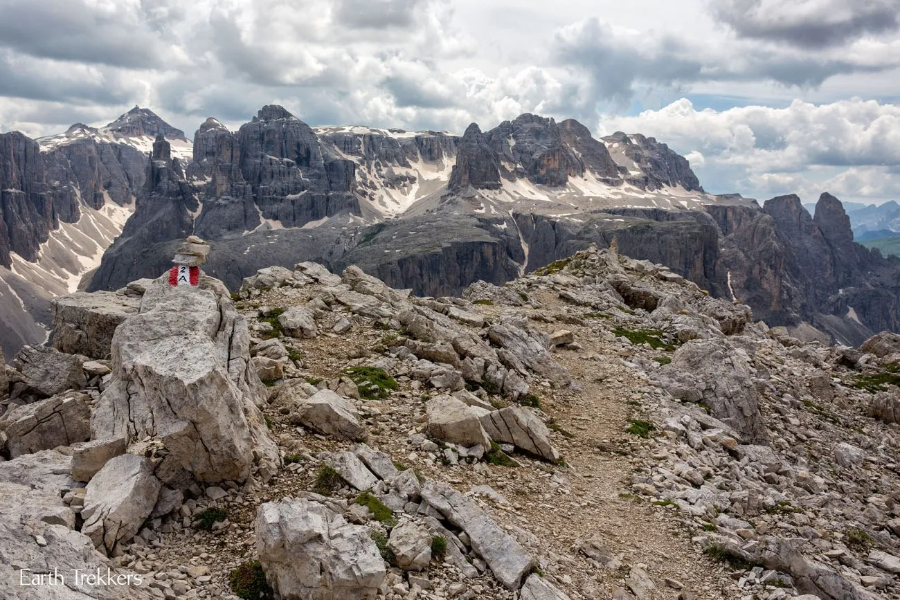
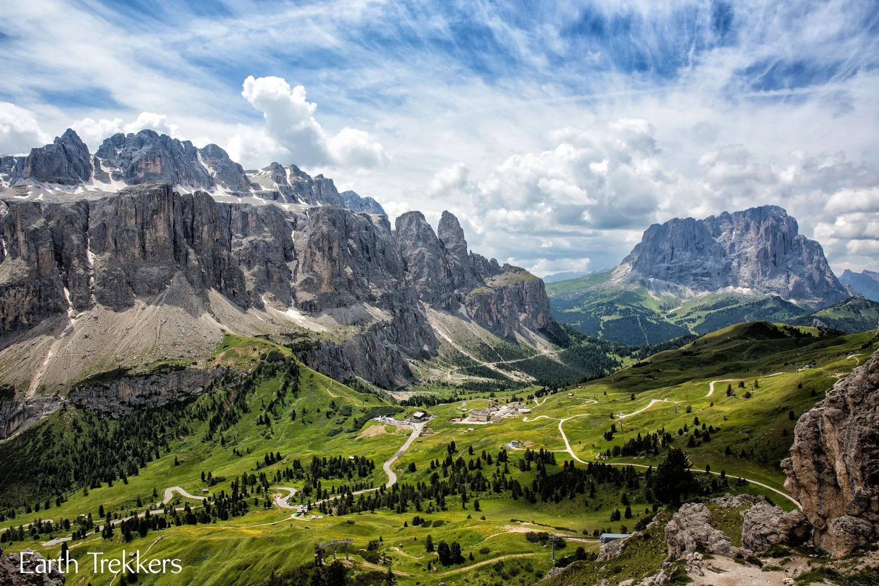
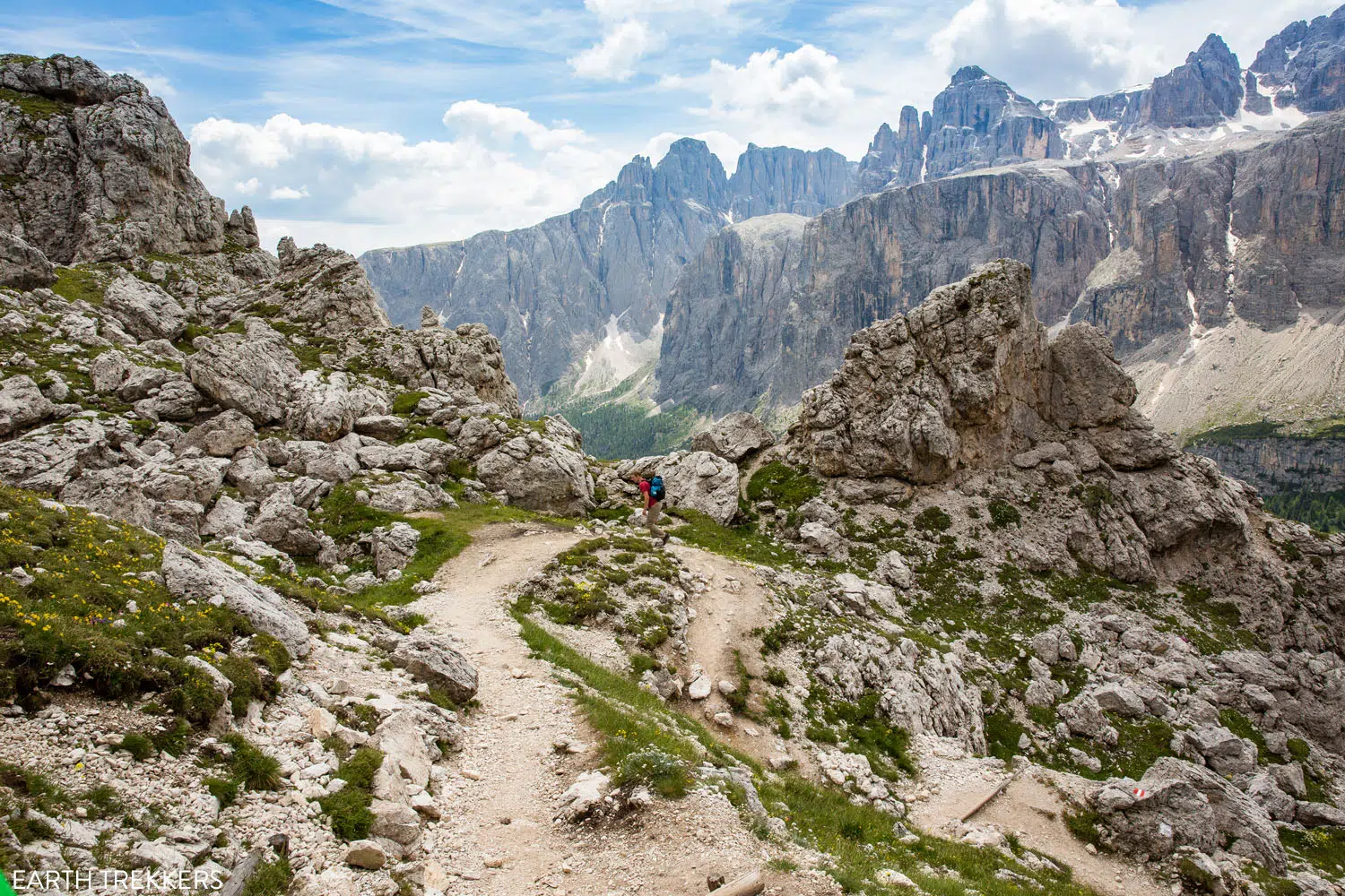
Once at Rifugio Jimmy, the real hiking begins. From here, take the no. 2 trail up and into the rocky mountains. As we climbed higher and higher, we had the best view of the Dolomites so far.
Dolomites

View from the Puez-Odle Altopiano trail
 

Puez Odle Altopiano Trail


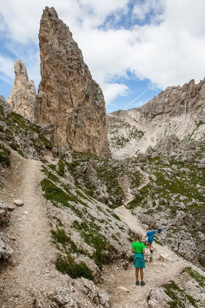
It did not take long until we summited the mountain.  The views on the other side were totally different! Good-bye lush green landscape…hello rocky formations.
Puez Odle Hike Trail


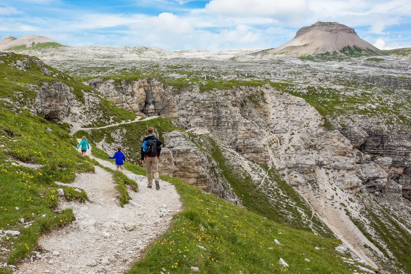
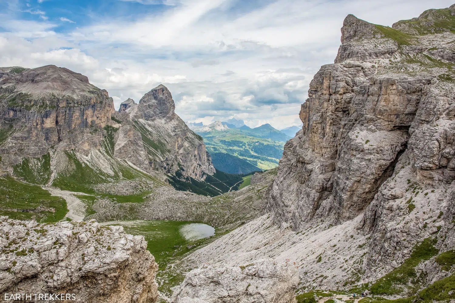
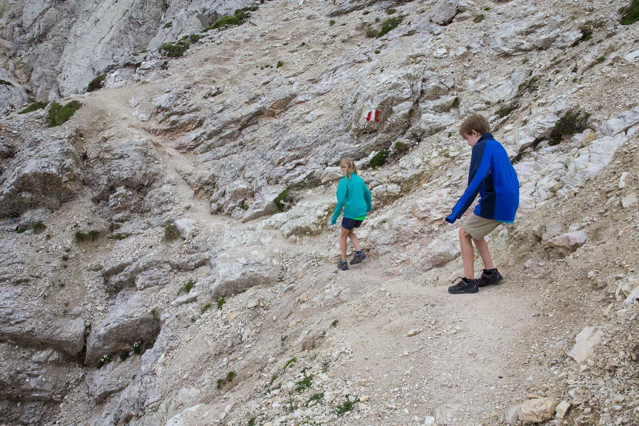
We ate a picnic lunch, enjoying our new view over Lago di Crespeina, before setting off again.  Tyler and Kara did great hiking on these trails. The trails are very difficult in some sections, with lots of scree that made the descents very slippery.
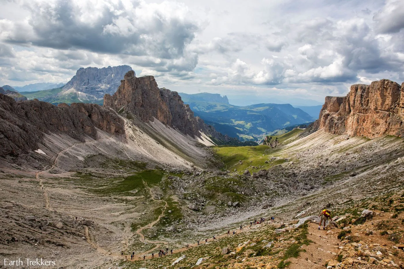
Slippery Trail

Hiking Dolomites Puez-Odle Altopiano hike

View from the Puez-Odle Altopiano trail

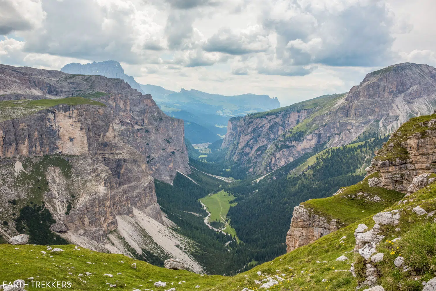
 Finally, we made it to the second peak. It is so beautiful here!! Once on the second peak, you can look out across the Vallunga, the gorgeous U-shaped valley shown in the photo above. Just look at this place…it’s amazing!
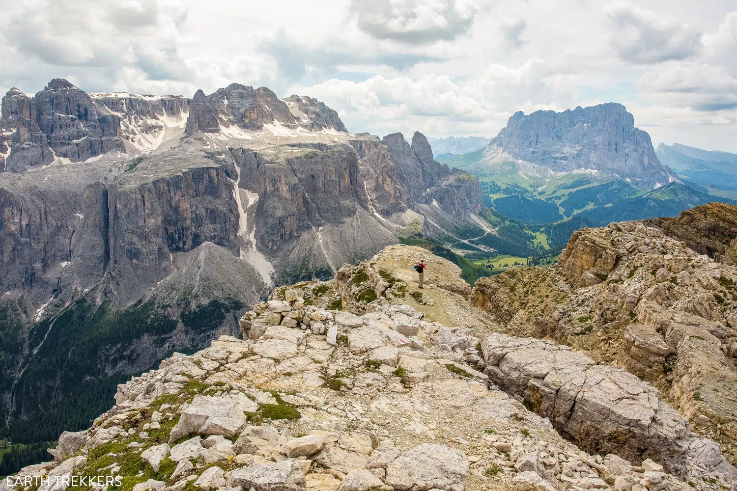
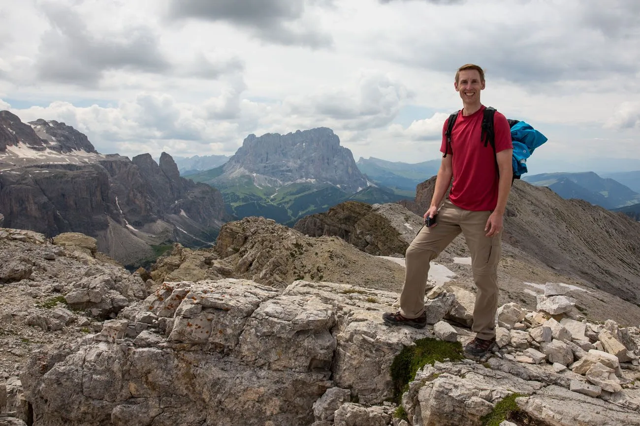
Puez Odle Altopiano Hike Guide

Tim Rivenbark

Hiking Italy Puez-Odle Altopiano hike

Dolomites Hikes with Kids

Puez Odle Altopiano View

Puez Odle Altopiano

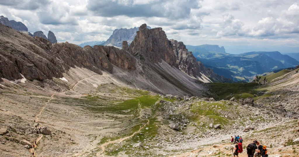
Another view from the Puez-Odle Altopiano trail. After Rifugio Puez, the trail makes a massive descent and you will walk through the valley below.

Rifugio Puez

The hike took us to Rifugio Puez, a restaurant/hotel offering tired hikers a place to eat or even stay the night. There are Rifugios located all through the Dolomites and a lot of them can only be accessed by hiking.

We stopped for about a half hour at Rifugio Puez. They served apfelstrudel (apple pie) here, which really wasn’t very good, even as hungry as we were. But it filled us up and gave us the energy we needed to finish the hike. We still had a long ways to go.

Making the Descent back to Selva di Val Gardena

It is a 650 meter descent into the valley. Going down is a lot easier on the lungs but it is hard on the legs. From Rifugio Puez we took trail #14 down into the valley.
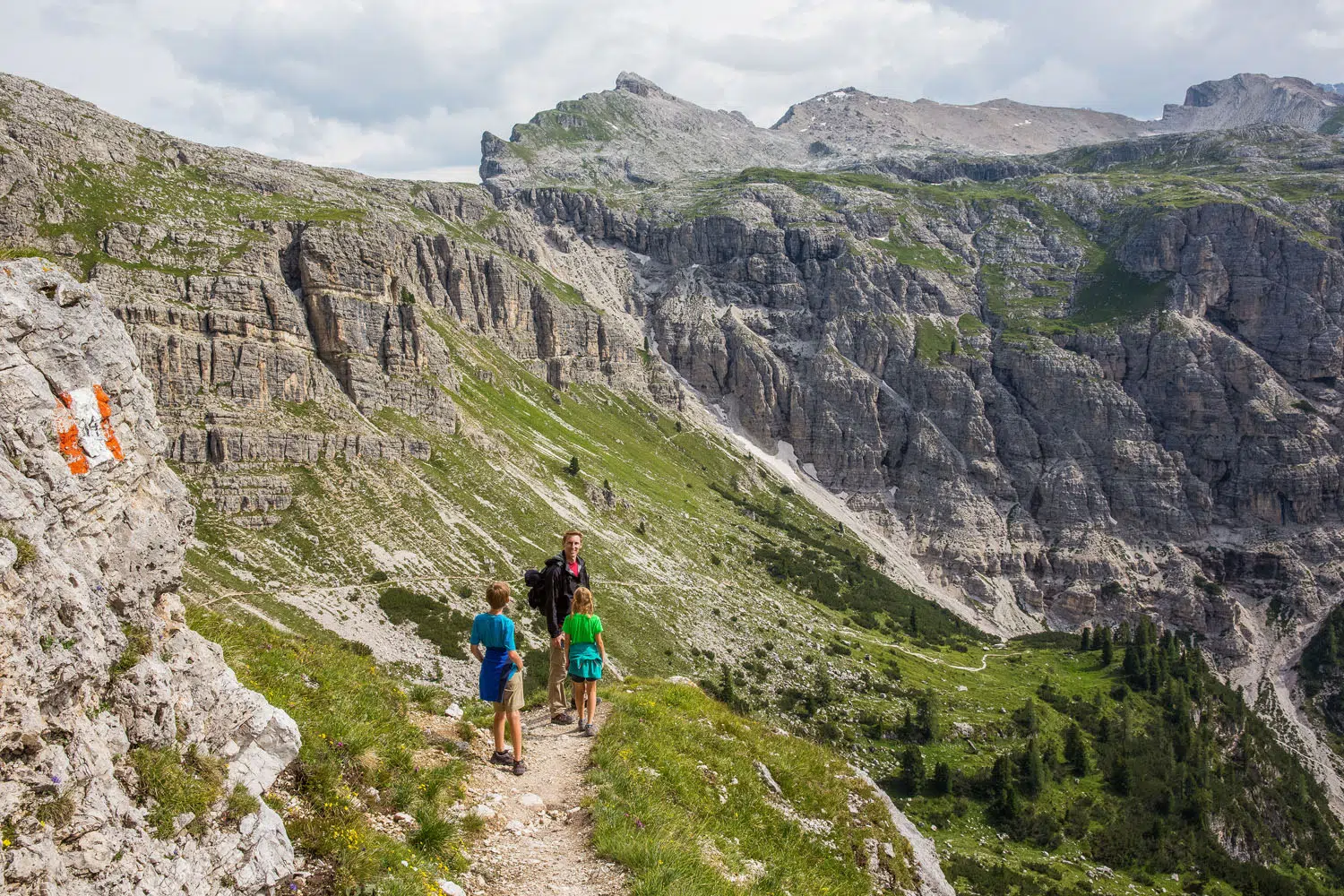
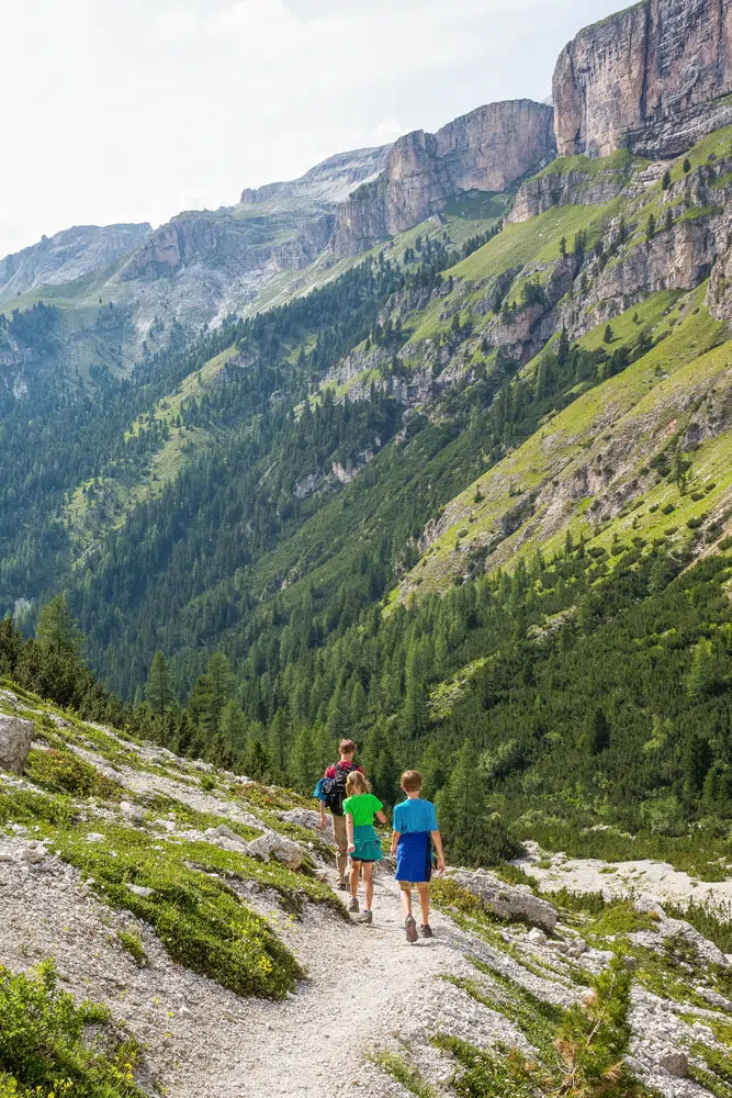
Start of the Descent

Puez Odle Altopiano with Kids

Puez Odle Altopiano Hike Waterfall

Cascate della Vallunga


Finally, when we entered the valley, it was nice to be walking on level ground again. You are still gradually walking downhill, but it’s a lot easier now that the terrain is more level. This part of the hike is the most monotonous, and it will take an hour and a half to two hours to walk through the valley, but the scenery and herds of cattle help keep things interesting.
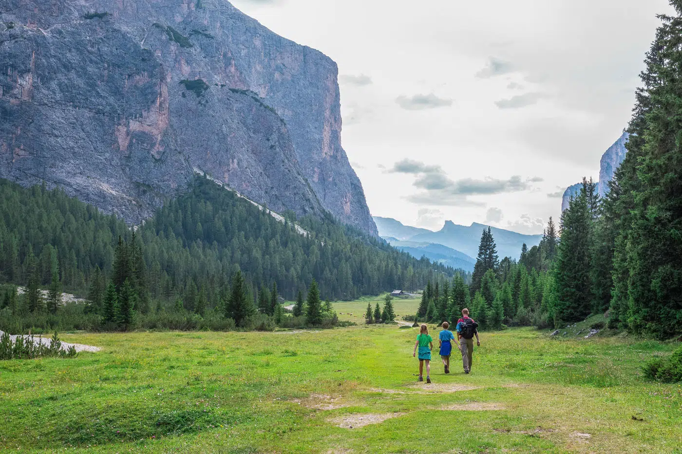
End of the Puez Odle Hike

Final walk through the valley | Puez-Odle Altopiano hike

The walk through the valley ends at a road named Streda Val, at a parking lot that is called Parcheggio Vallunga Parkplatz Langental – Wolkenstein. Rather than walking down Streda Val, stay on the footpath, pass Baita Ciampac Hutte (we had dinner here on a separate trip to the Dolomites and it is wonderful…if they are open, you could sit outside and have a snack), and walk back into town.

The Puez-Odle Altopiano hike took us just over 6 hours, including our stops for lunch and apfelstrudel. Tyler and Kara (ages 11 and 9 at the time) were amazing, never complaining and never even seeming to get tired. It’s a great hike for active, adventurous kids, but those younger than 9 may have a hard time.

Dolomites Travel Guide

More Great Hikes in the Dolomites

We have a guide to the Best Hikes in the Dolomites, but here are a few more great hikes to consider.

The Cinque Torri is a wonderfully short, easy hike that circles around giant pillars of rock and includes a visit to a WWI open air museum. This hike can easily be combined with Rifugios Averau and Nuvolau for BIG views of the Dolomites (and a great meal with a view). 

Tre Cime di Lavaredo is one of the most popular hikes in the Dolomites. Add on the Cadini di Misurina viewpoint for one epic day in the Dolomites.

The Croda da Lago Circuit is a longer hike but it tends to be a less busy trail. Plus, you get beautiful views of Lago Federa, the Mondeval meadow, and Forcella Ambrizzola.

Hiking from Lagazuoi to Falzerego Pass is another easy hike to consider. The ride on the cable car to Lagazuoi eliminates the first big climb.

Lago di Sorapis is a lovely aquamarine lake. Most people hike it out-and-back, but if you don’t mind a little extra climbing, follow our guide for great views of the Dolomites and a very quiet hiking trail.

For links to all of our articles about the Dolomites, take a look at our Dolomites Travel Guide.


If you have any questions about hiking the Puez-Odle Altopiano, let us know in the comment section below. 

More Information about Italy

VENICE: Learn more about what to do in Venice in our Venice Bucket List. To help you plan your time, we have a detailed one day Venice itinerary and a 2 day Venice itinerary.

PHOTOGRAPHING ITALY: For some of the best views in Italy, here are 20 gorgeous views and exactly where to photograph them.

MILAN & LAKE COMO: Learn how to visit Milan on a day trip or while traveling between the Cinque Terre, Florence and Venice. Lake Como and Bellagio are two more beautiful places in Italy that are great day trip destinations.

ROME: For a list of the top experiences in Rome, read our article Best Things to Do in Rome. Learn how to put these together in our 2 Day Rome Itinerary. And don’t miss our guides to the Best Views of Rome, best Rooftop Bars in Rome, and our Rome Restaurant Guide.

MORE GREAT HIKES IN EUROPE: From thrilling trails in the Alps to easy walks along the coast, read our article 20 Best Hikes in Europe for some beautiful hiking trails to put on your travel wish list.

We have TONS more information about Italy in our Italy Travel Guide, including Rome, Florence, Venice, Tuscany, the Dolomites, the Amalfi Coast, the Cinque Terre, and Puglia.
 

Puez Odle Altopiano Hike Dolomites Italy

Hiking Dolomites Italy Puez Odle


Note: This post contains affiliate links. When you make a purchase using one of these affiliate links, we get paid a small commission at no extra cost to you.

Hiking the Puez Odle Altopiano

All rights reserved © Earth Trekkers. Republishing this article and/or any of its contents (text, photography, etc.), in whole or in part, is strictly prohibited.
Comments 89

  1. Avatar for Catherine
    Catherine

    Hi Julie, Your blogs are wonderful. We have used your recommendations in Iceland and were so grateful to have your recommendations. Quick question. You mention in one of the comments that this train is available on All Trails. Would that be the Dantercepies-Forcella Circuit- Rifugio Puez-Vallunga trail at 9.5 miles, or would it be the Selva di Val Gardena – Rifugio Puez- Vallaunga trail at 10.1 miles? I know sometimes the same trail ends up with two different names on All Trails.

    1. Avatar for Julie Post
      Author
      Julie

      Hello Catherine. Yes, the Dantercepies-Forcella Circuit- Rifugio Puez-Vallunga is the trail to follow on AllTrails. However, once we left the Rifugio Puez Hutte, we took trail 14 down into the valley (a steep descent followed by a long flat walk through the valley) whereas AllTrails has the route marked with trail 16 after the hut. Both versions work but taking trail 16 keeps you high for longer and later drops you into the valley. I do not know if one is better than the other but both end in the same place. You could ask at the hut and I’d think someone there could make a recommendation about the best option. Have a great hike! Cheers, Julie

      1. Avatar for Catherine
        Catherine

        Thanks so much for your reply. We did the route 14 down, and it was indeed very steep and a bit hard on the toes, with a lovely long walk through the valley at the end. We did the walking path at the end back to the underground parking at the Danterciepes gondola, (which was free if you take your ticket with you when you buy your gondola ticket.) There was a very steep short uphill on the walking path that was tough at the end of the hike;).

        1. Avatar for Julie Post
          Author
  2. Avatar for Shannah
    Shannah

    Julie, What would you recommend for a shortened out-and-back (to gondola) version of this hike? I saw above you said you could walk past Rifugio Jimmy to get some of the best views and walk back. We have 2 kids, once that will be on my husband’s back, and another that is 7 years old that hikes really well. However, this whole hike is just too much for our family at this time. Thus, is there a good turn around point 1 hour or 1.5 hours into the hike that we could go to and then turn back to take the gondola down? A 2-3 hour hike is ideal for us, and we can handle most levels of difficulty during that time. I just didn’t know if there was some point/mountain/rifugio we could look to hike to and then hike back on this trail. Thanks for any help or suggestions!

    1. Avatar for Julie Post
      Author
      Julie

      Hello Shannah. Yes, you can do an out and back version of this hike. If you start it like we did, using the gondola (which will be a lot of fun for your 7 year old), you could just walk the first hour to hour and a half of the trail and then turn around and walk back to the gondola. You will pass the awesome viewpoint really early in that hike. You’ll also hike up and over a ridgeline to get some of the classic views from the trail. Then turn around when you are ready. It will be a relatively easy hike, with some short hill climbs and maybe some slippery scree…the hardest part is the big downhill late in the hike but you won’t get that far in an hour. Have a great time in the Dolomites! Cheers, Julie

  3. Avatar for Zsolt Bácskai
    Zsolt Bácskai

    Hi, thanks for the good and detailed description, we made this today (10th July). It was just as you described. I have not seen mentioning it but on the way to the refugio, we have also seen Cinque Torri, Croda da Lago blocks, and half of Marmolada was also visible.
    A tip for economic tourists: we took the bus from the same village up to Gardena Pass, ticket 3,5€ compared to 17€ cable car price. This added an extra 110 m altitude uphill but is was not an issue.
    With loads of pics, stops it took 9,5 hrs, net moving time 6 hrs, total length (with some extras to photopoints) 18.44 km, up 806m, down 1361m.
    Great track!

    1. Avatar for Julie Post
      Author
  4. Avatar for Siming
    Siming

    Hi Julie,

    Thank you so much for this detailed hiking blog – am relying on your blog so much for Dolomites trip in two weeks’ time!

    I will have only one day to spare in the Val Gardena area. Am torn between this Puez-Odle Altoponio hike and Seceda. This hike looks amazing but if I do it I won’t have time for anything else. Seceda is famous and comparatively shorter but then I’ll have another half a day to spare and I’m unsure what to do. What would you recommend for a first (and probably only, at least in the near future) visit? Thank you!

    1. Avatar for Julie Post
      Author
      Julie

      That is a great question. I totally get the appeal of Seceda as it is one of the Dolomite’s most iconic spots. However, if you really enjoy hiking, you can’t go wrong with the Puez Odle Altopiano. That’s what I would pick but I love hiking. If you choose to do Seceda, you could also drive the passes nearby and ride the cable car at Passo Pordoi and hike to Piz Boe, if you wanted to do a shorter hike with more incredible views. Another option would be to do Seceda and ride the Dantercepies chairlift and walk to the viewpoint just past the Jimmi Hut, then you’d be doing the very first part of the Puez Odle Altopiano and get one of the best views from that hike. Cheers, Julie

  5. Avatar for Caitlyn
    Caitlyn

    Thank you for this helpful breakdown! I’m just a bit confused how we get back to the parking lot at the end of the hike since this is not a loop? Appreciate your insights!

    1. Avatar for Julie Post
      Author
      Julie

      Hello Caitlyn. We list how to do it in the post towards the end: ‘The walk through the valley ends at a road named Streda Val, at a parking lot that is called Parcheggio Vallunga Parkplatz Langental – Wolkenstein. Rather than walking down Streda Val, stay on the footpath, pass Baita Ciampac Hutte (we had dinner here on a separate trip to the Dolomites and it is wonderful…if they are open, you could sit outside and have a snack), and walk back into town.’
       
      Then, once in town, you can use Google Maps to get to your parking lot. It’s a small town so it won’t be too much additional walking. Have a great hike! Cheers, Julie

  6. Avatar for Stephanie
    Stephanie

    Thank you for posting your adventures online. We’re headed out to the Dolomites for 1-1/2 weeks and interested in taking the path your family took for Puez-Odle Altopiano hike. Is there a map you can recommend we download? It’s not entirely clear how the numbered trails intersect and which to take and when.

    1. Avatar for Julie Post
      Author
      Julie

      All Trails has a map that you can follow with the exact route. I’m not sure if this lists the trail numbers. If you want a more complete map, you can purchase a Tabacco map when in Italy. From Rifugio Puez, we took trail 14, which immediately drops you down into the valley and then its a long hike through the valley which can start to feel a bit monotonous. Another option is to take trail 16, which keeps you higher longer, and then later drop down into the valley, ending on trail 14. I don’t know if that way is any better but you could ask at the rifugio, if you are considering the other route. Cheers, Julie

      1. Avatar for Stephanie
        Stephanie

        Thank you for responding so quickly, Julie. We’ll definitely look into purchasing a map and talking to the locals on recommendations. Keeping our fingers crossed and hoping the weather cooperates with our June 1st adventure.

        1. Avatar for Stephanie
          Stephanie

          Hi Julie: My heart is sinking. We just started taking a sneak peek of this hike via webcams and it looks like there’s still alot of snow on the ground. Additionally, we just realized the Rifugio Puez is not open until mid-June making this hike for us less likely. Wondering if you might recommend hikes to consider from May 29th through June 4th? We’re staying in Selva di Val Gardena 5/29-6/1 and Cortina d’Ampezzo 6/1-6/4. We want to also try the CINQUE TORRI + RIFUGIO AVERAU AND RIFUGIO NUVOLAU documented on your site and wonder if attempting the Averau to Nuvolau is not advised? We appreciate any insight you have to offer.

          1. Avatar for Julie Post
            Author
            Julie

            Hello Stephanie. Now that you say that, I do remember seeing that that region of Italy got some snow just a few weeks ago and it seems like it has been cooler than usual. The Cinque Torri chairlift starts running June 1 so that one should be possible. Lagazuoi will still have some snow (when we were here our first time Lagazuoi had snow even in mid-July). Tre Cime could also have snow but hopefully not so much as to make the hike too challenging. The road to that hike opens sometime in early June. You might want to invest in some Yak Trax or snow cleats for you hiking shoes to have more traction on the trails. I recommend keep checking those webcams and the official sites for cable cars and chairlifts for any updates/changes in schedules. Cheers, Julie

      2. Avatar for Chris
        Chris

        Hey Julie –

        Can you please share which trail you searched in all trails, in order to download the route before we hike? I have searched alltrails, and cannot seem to find it. If you can provide a link to your saved alltrails route, it would be much appreciated. Thank you!

        1. Avatar for Julie Post
          Author
          Julie

          Here is the link on AllTrails. At first glance it doesn’t look like the route starts and ends at the same point, but it does. Drive to the end point on this map which is the Dantercepies chairlift. Then take that up the mountain to the starting point on this map.

          Also from Rifugio Puez (marker #3 on this map), we took trail 14, which immediately drops you down into the valley and then its a long hike through the valley which can start to feel a bit monotonous. Another option is to take trail 16, which keeps you higher longer, and then later drop down into the valley, ending on trail 14. I don’t know if that way is any better but you could ask at the rifugio.

          Cheers, Julie

  7. Avatar for Sherie W
    Sherie W

    Sorry I should have added this to my last comment. We’re going (Sept) to be staying in the West Dolomites for 2 nights and the east for 3 nights. We hope to hike Seceda and Puez Odle Altopiano and take lifts/cables to assist. I think one lift is from Ortesei and one from Selva Di Val Gardena for these hikes. We’ll have a rental car. Do you have a suggestion on which town is better to stay for where we’re hiking? Thank you.

    1. Avatar for Julie Post
      Author
  8. Avatar for Sherie W
    Sherie W

    Hi Julie, I notice you mentioned a chairlift making the climb and decent a little bit shorter, but it doesn’t look like you took the lift down. Is that an option?
    Thanks.
    Sherie

    1. Avatar for Julie Post
      Author
      Julie

      Since this is a point to point hike, there is not a cable car option on the second half of the hike. If you don’t want to hike the full route, you could hike the first part of the trail and then retrace your steps back to the cable car. Cheers, Julie

      1. Avatar for Sherie W
  9. Avatar for Joe
    Joe

    Hi Julie:
    Thank you for sharing your family hikes and trips in such details. I have benefited from reading your webpages in my years of travel planning. On this Puez-Odle Altopiano loop hike, the length, scenery, and level of difficulty are just what I want for our family trip to the Dolomites in early September. In my research I just came across an excellent quality YouTube video shared by a couple of Italian hikers that pretty much did the same route (except for taking a slightly shorter different descent into Vallunga from Rifugio Puez. I want to share it with you and your followers alike so that they see what it is like climbing through these three mountain passes. And, how beautiful the views are from one section to another.
    Here is the YT link: https://www.youtube.com/watch?v=oYbaLh_Odcs
    Best regards,
    Joe

    1. Avatar for Stephanie
      1. Avatar for Julie Post
        Author
        Julie

        We took trail 14 down from the rifugio. It is possible to take trail 16, which drops you down later into the valley and then joins up with trail 14.

Load More Comments

Leave A Comment

Your email address will not be published. Required fields are marked *