The Triple Lakes Trail is a 9.25-mile point-to-point hike in Denali National Park. This well-maintained and well-traveled trail runs along the eastern border of the park just south of the park’s only entrance.
As you hike the Triple Lakes Trail, you can enjoy the beauty and peacefulness of three separate lakes, right from their shorelines. The forested trail also offers occasional clearings in the trees to observe the lakes from above or to take in the surrounding mountainous views.
You can also look for Alaskan wildlife. You might see beavers hard at work at Lake 1, a moose feeding on vegetation at Lake 2, and more.
But this trail is not for everyone. If your time in Denali National Park is limited, then I would suggest considering a few other trails first. The Horseshoe Lake Trail is a shorter, easier hike than the Triple Lakes Trail and it also offers a beautiful lake setting. And there are trails that offer more dramatic views of the Alaska Range, such as the Savage Alpine Trail and the Thorofare Ridge Trail.
The Triple Lakes Trail is a good choice if you are looking for solitude. This hike tends to get less foot traffic than the hikes mentioned above. The Triple Lakes Trail can also be a pleasant experience for those who have extra time after seeing the more dramatic scenery Denali National Park offers.
Triple Lakes Hiking Stats
The following trail stats are one way from the trailhead on Parks Highway (Route 3) to the trailhead at the Denali Visitor Center (located inside the park near the park’s only entrance).
Distance: 9.25 miles
Difficulty: Moderate
Total Ascent: 1,800 feet
Total Descent: 1,850 feet
Elevation at Parks Highway trailhead: 1,850 feet
Elevation at the Denali Visitor Center trailhead: 1,800 feet
Time: 3.5 – 6 hours
If you hike the trail in the reverse order, starting at the Denali Visitor Center trailhead and ending at the Parks Highway trailhead, then there will be an additional 50 feet of total ascent. This makes the total ascent 1,850 feet and the total descent 1,800 feet. So, the hiking stats are very similar in both directions.
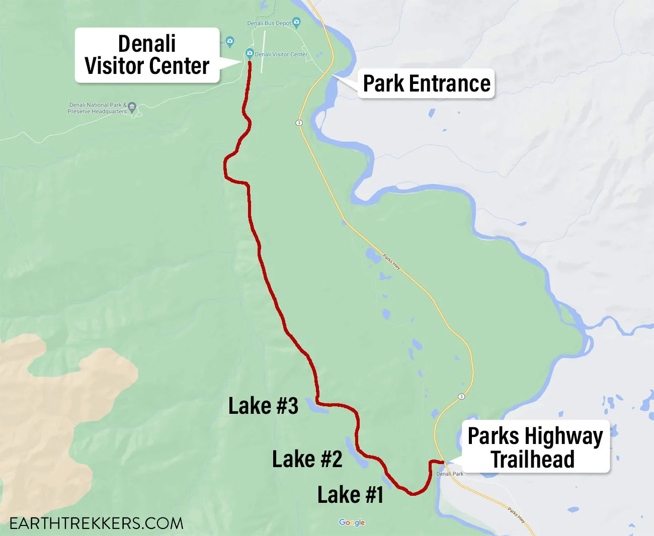
Map of the Triple Lakes Trail
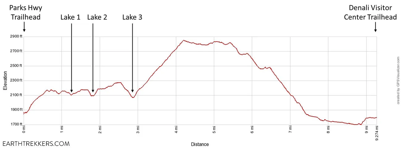
Elevation profile of the Triple Lakes Trail one-way, starting at the Parks Highway trailhead and ending at the Denali Visitor Center
Please practice the seven principles of Leave No Trace: plan ahead, stay on the trail, pack out what you bring to the hiking trail, properly dispose of waste, leave areas as you found them, minimize campfire impacts, be considerate of other hikers, and do not approach or feed wildlife.
Doing a Portion of the Trail Out-and-Back
The Triple Lakes Trail is a point-to-point hike. To do the full hike, you will either need to arrange transportation between the two different trailheads, or do this hike out-and-back, but then it becomes 18.5 miles.
If you cannot arrange transportation due to the point-to-point nature of this hike, or have no desire to hike over 18 miles, then there is a shorter option. Start the hike at the trailhead on Parks Highway, hike to the Triple Lakes, and then return to your starting point. The Parks Highway trailhead is much closer to the Triple Lakes than the Denali Visitor Center trailhead, so the hike is a lot shorter and easier this way.
Here are the trail stats if you start at the Parks Highway Trailhead and turn around once you see the third lake.
Distance: 6.0 miles
Total Ascent: 1,150 feet
Elevation at the Parks Highway trailhead: 1,850 feet
Time: 3 to 5 hours
Difficulty: Moderate
If you prefer this out-and-back option to the three lakes, then you might also consider doing a short out-and-back hike from the other end of the trail as well. It is only a 1-mile hike from the Denali Visitor Center to Riley Creek (2-miles roundtrip). You get to cross the suspension bridge and enjoy the creek side views. By hiking both ends of this trail the only thing you’ll be skipping are the mountainous views from the middle portion of the trail. And the mountainous views deeper in the park are more dramatic anyway.
How to Hike the Triple Lakes Trail
Step-By-Step Trail Guide
Overview of the Hike
The Triple Lakes Trail is a well-traveled, well-maintained trail that is easy to follow. It is mostly compacted dirt the entire way, but it does have some rocks.
The trail has several highlights including the three lakes, mountainous views, and Riley Creek. But after seeing more dramatic mountainous scenery elsewhere in the park we found ourselves questioning if the mountainous views along this trail were worth the effort.
Therefore, as I describe the full point-to-point hike, I also provide suggestions for two turnaround points that will allow you to turn this hike into a shorter out-and-back experience while still seeing some of the highlights.
Getting to the Trailhead
Parks Highway (Route 3) Trailhead
This is our recommended starting point for both the point-to-point hike and for an out-and-back hike.
If you are doing this as a point-to-point hike, it’s an easier hike if you start at Parks Highway. As you can see from the elevation profile above, by starting at Parks Highway, you have several small climbs, rather than the one massive climb you get if you started at the Denali Visitor Center.
If you just want to see the three lakes as an out-and-back hike, then this trailhead is much closer to the lakes with a lot less elevation gain than starting at the visitor center.
From the entrance of Denali National Park where Park Road intersects Parks Highway (Route 3), drive 6.0 miles south on Parks Highway. There is a pullout on the southbound side of Parks Highway just before the highway crosses the Nenana River. You can park in this pullout.
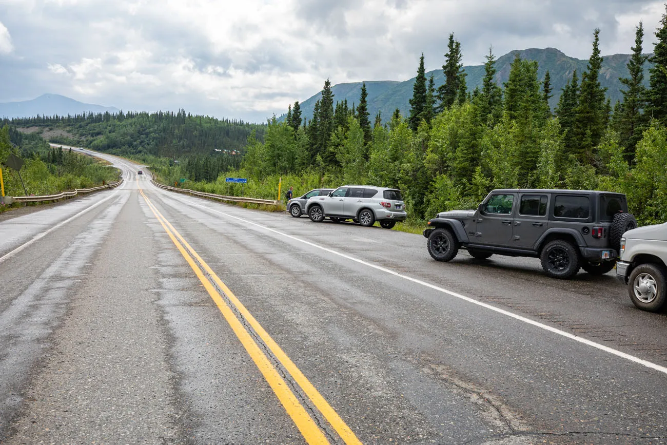
Parks Highway crosses the Nenana River in several places, so to make sure you are in the right place. Notice that on the opposite side of the road from the pullout is a “Welcome to Denali National Park” sign. There appears to be parking near that sign if the pullout on the southbound side is full.
Once you have parked, walk towards the bridge but do not cross the bridge. To the right of the bridge is an easily identifiable trail and a “Triple Lakes Trail” sign.
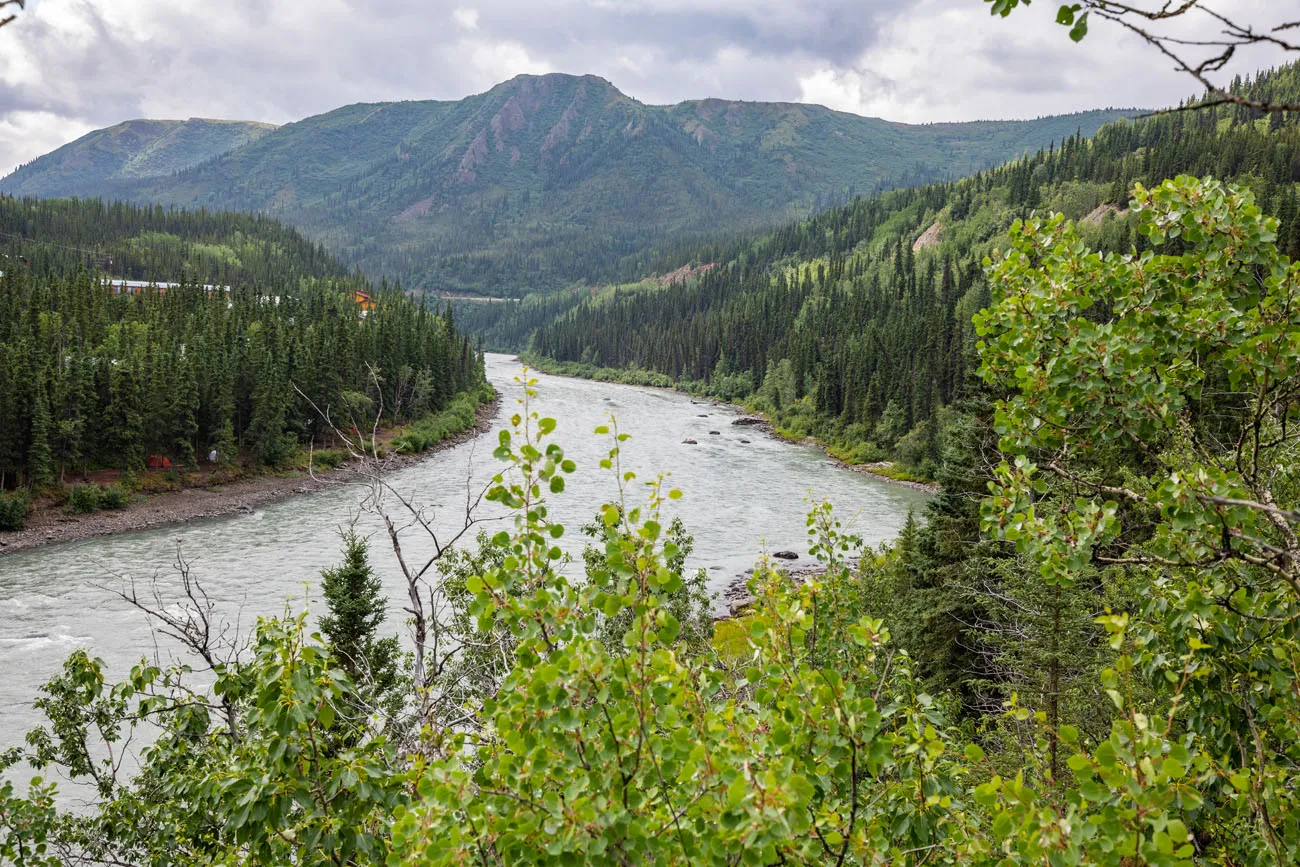
Nenana River
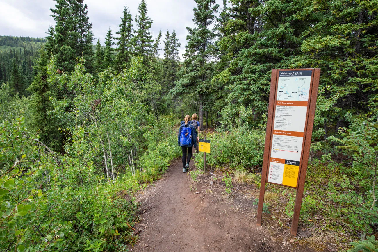
Denali Visitor Center Trailhead
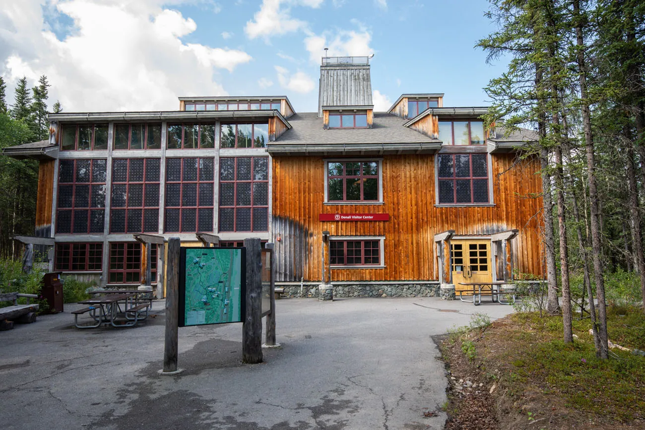
Denali Visitor Center is located on the paved road about 1.5 miles inside the park’s only entrance. Once you enter the park (Park Road) look for signs to the visitor center when you reach the roundabout. Parking is available at the visitor center. From the parking area walk towards the visitor center and look for posted signs pointing to the hiking trails. These will lead you around the visitor center to the hiking trails.
Hiking to the Triple Lakes
Note that the National Park Service refers to the three lakes as Lake 1, Lake 2, and Lake 3.
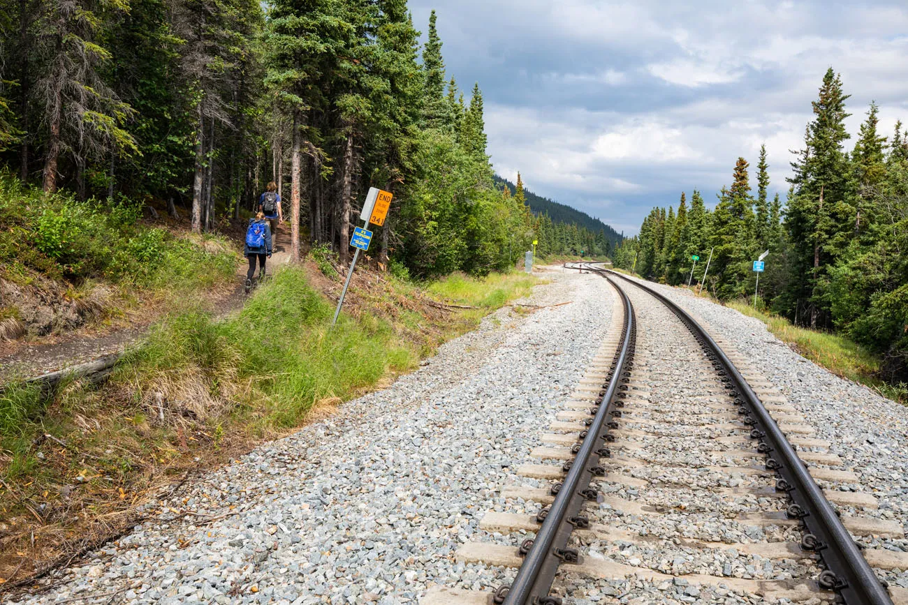
Starting at the Parks Highway Trailhead, you will have a moderate ascent the first quarter of a mile until you reach the railroad tracks. Shortly after you cross the railroad tracks (careful – they are operational) the ascent becomes a little more gradual.
At 0.75 miles into the hike, you will have another overlook of the Nenana River. The first ascent ends here with 340 feet of elevation gain.
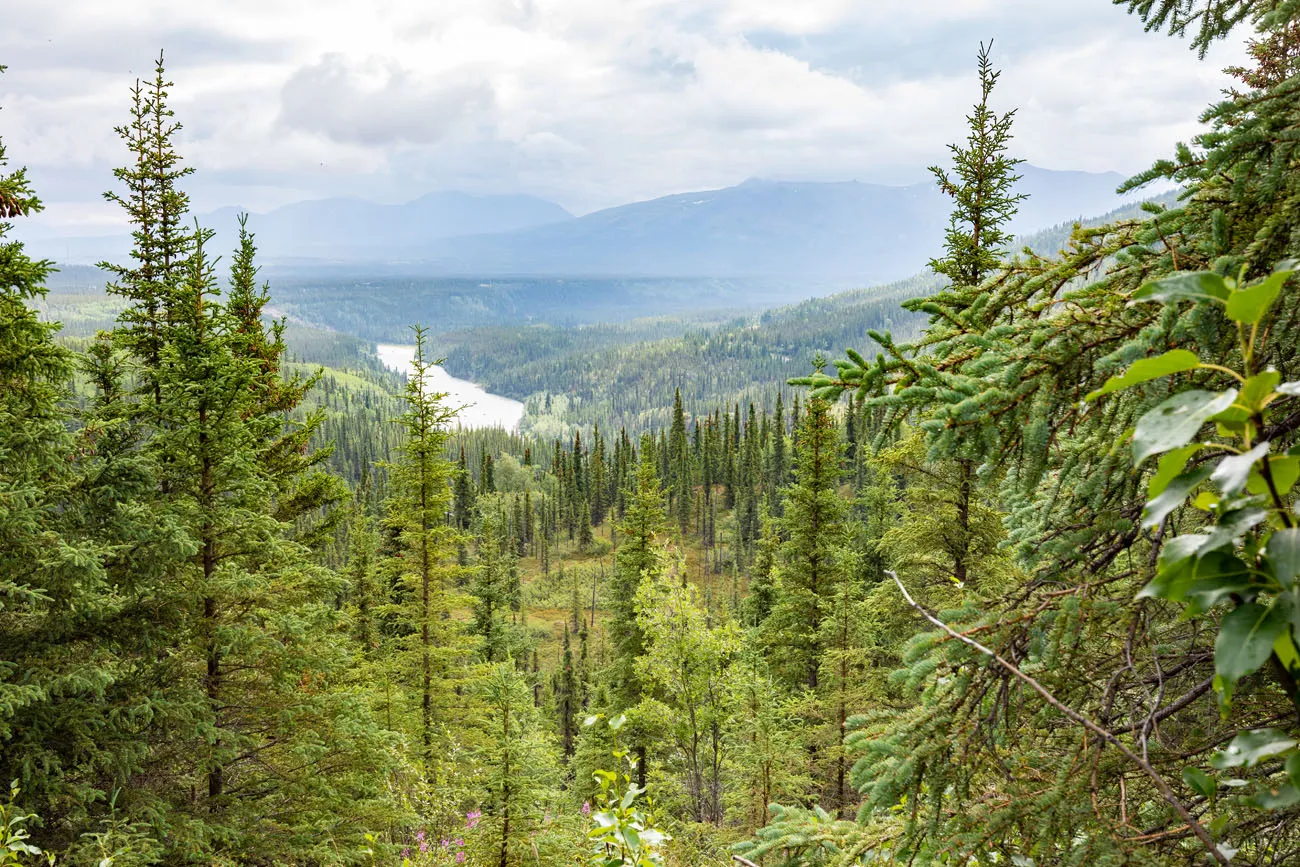
Another view of the Nenana River
You will now switch between some gradual descents and gradual ascents as you hike towards Lake 1. At 1.25 miles into the hike, turn left at the posted sign marker pointing down to Lake 1.
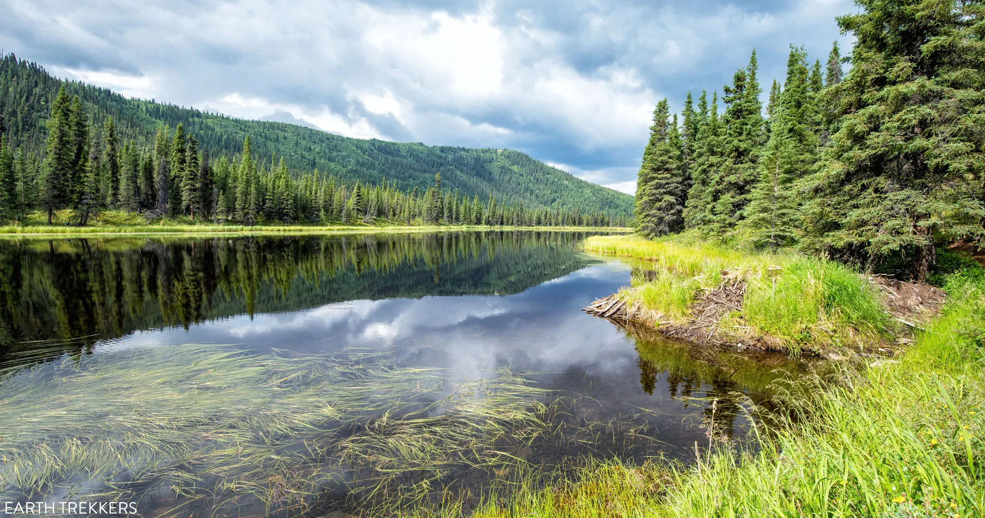
At Lake 1 look for the beaver lodge and beavers swimming in the water. Then, keep following the spur trail that brought you to Lake 1 and it will reconnect back up to the Triple Lakes Trail.
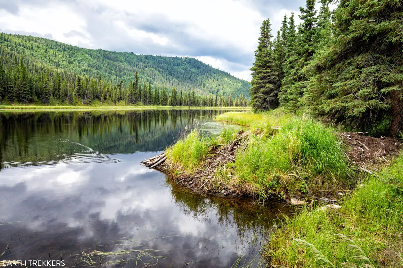
Beaver Lodge on Lake 1
As you continue to Lake 2 the trail is mostly flat. At 1.75 miles into the hike turn left at the posted sign marker pointing down to Lake 2.
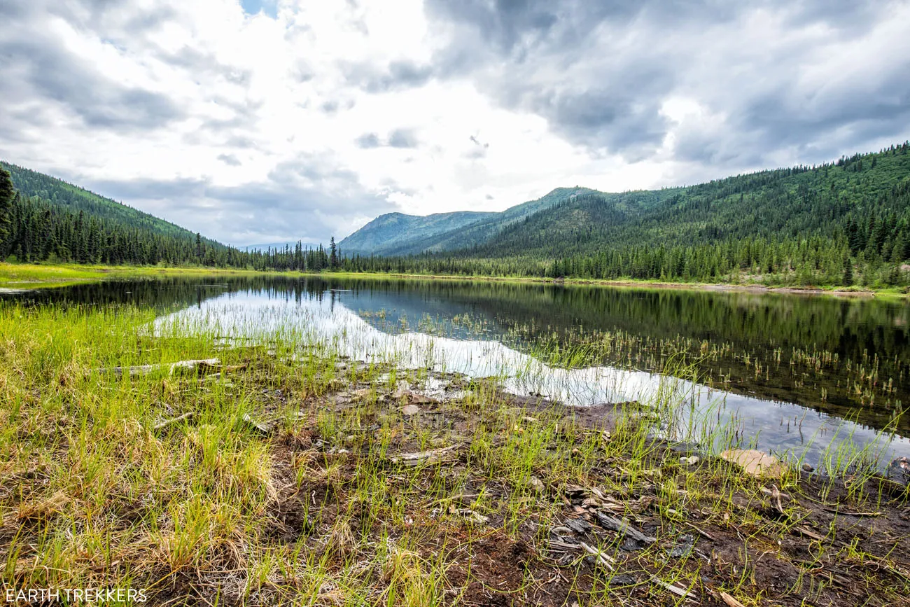
Lake 2
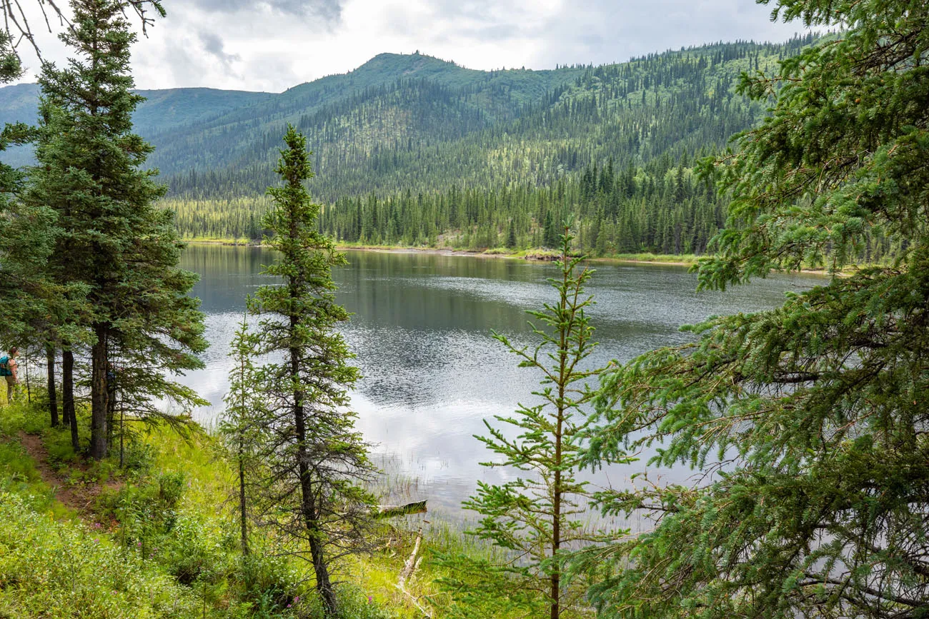
Another view of Lake 2
Keep following the spur trail that brought you to Lake 2 and it will reconnect back up to the Triple Lakes Trail. You will be noticeably more out of breath when ascending back up to the Triple Lakes Trail from Lake 2 than you were at Lake 1.
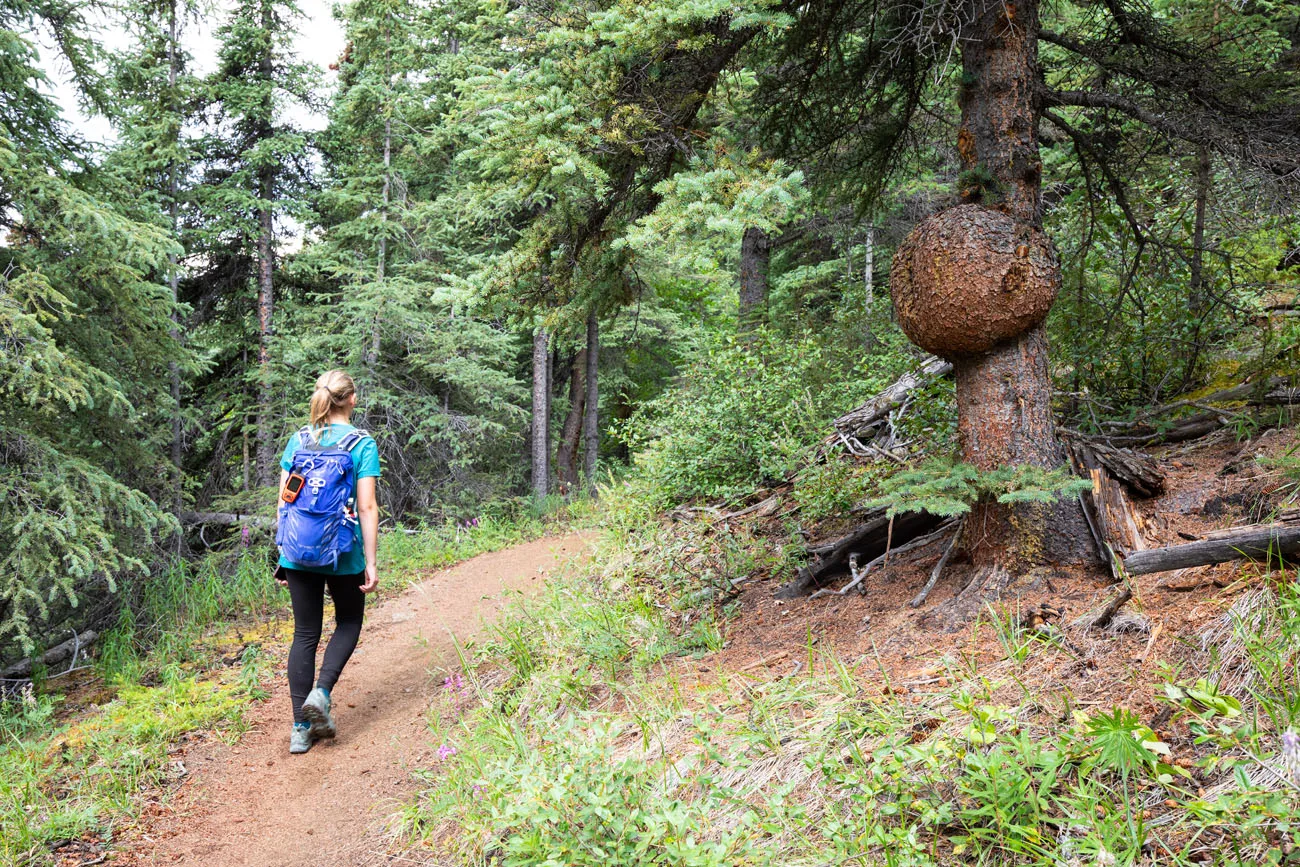
As you continue to Lake 3 the trail starts flat and then gradually ascends. You will then start a gradual descent about a quarter of mile before you reach the turnoff for Lake 3. At 2.9 miles into the hike, turn left at the posted sign marker pointing down to Lake 3.
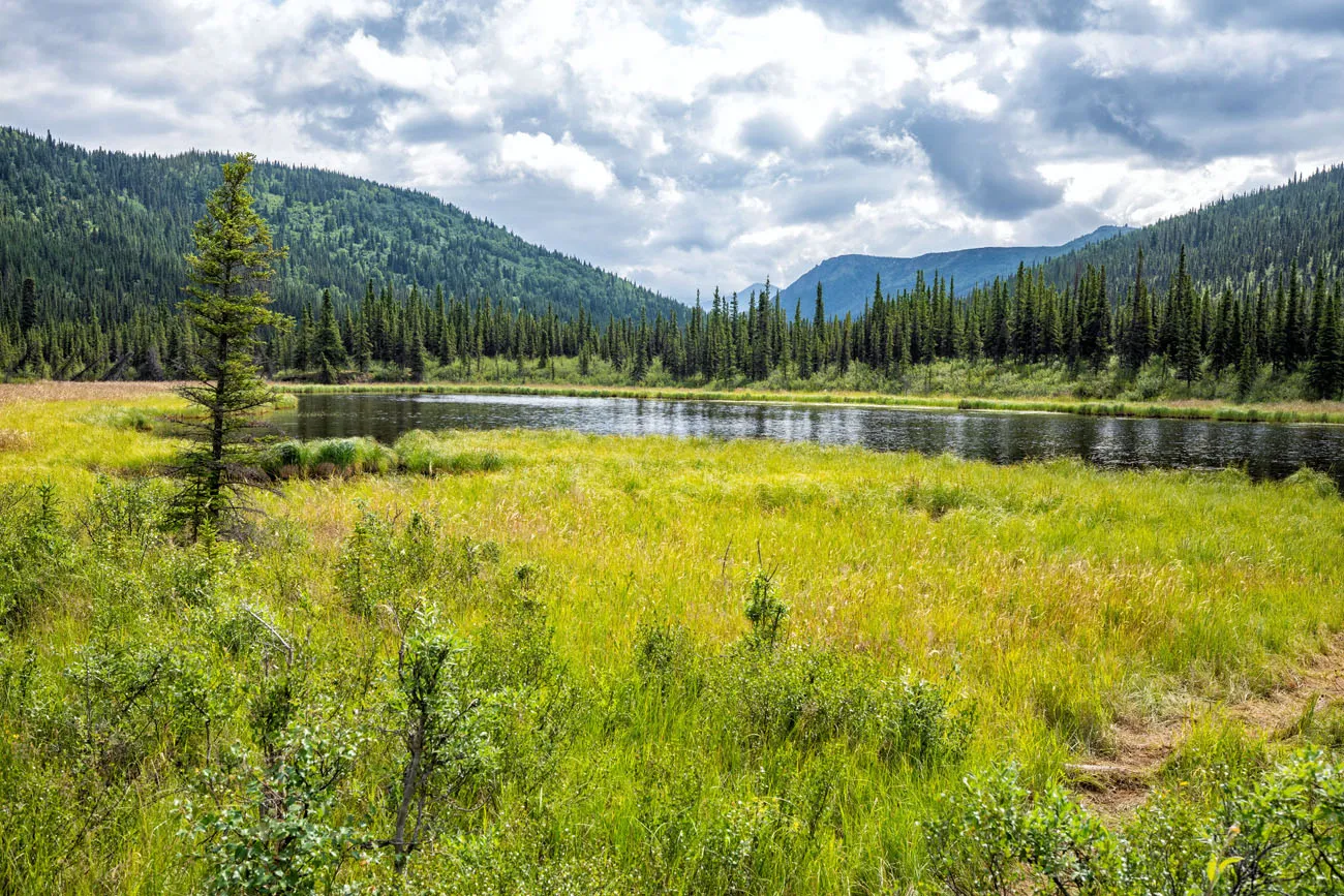
Lake 3
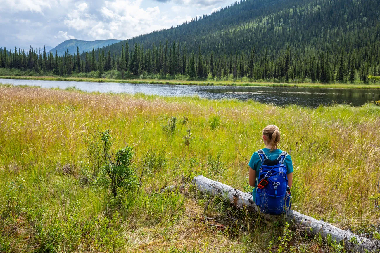
Kara at Lake 3
When you are ready to leave Lake 3, backtrack up the same way you came down to Lake 3.
This is a great turnaround point for anyone doing this hike as an out-and-back hike since you have seen the Triple Lakes. In addition, you can avoid the elevation gain that comes next. By turning around now, the hike will be a total of 6.0 miles with 1,150 feet of total ascent.
The Big Ascent
Continuing to the visitor center from Lake 3, the trail ascends for 1.4 miles, gaining over 700 feet in elevation and reaching the highest point along the trail.
For comparison, it was about 700 feet of total ascent to get to Lake 3 over the first 3 miles of this hike.
During this ascent, you will reach an overlook where you will be able to see Lake 2 and Lake 3 at the same time.
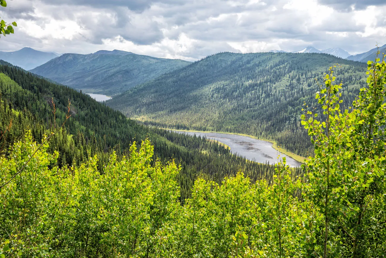
This is another great turnaround point for anyone doing this hike out-and-back and for those who want to put in the extra effort for an aerial view of two of the lakes. By turning around now, the hike will be a total of 7.5 miles with 1,500 feet of total ascent.
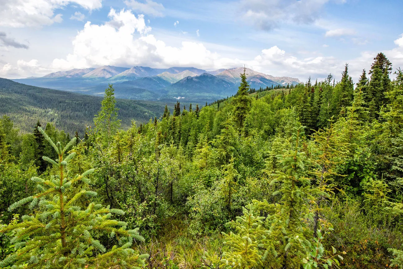
For those continuing to the visitor center the ascent continues until you are 4.4 miles into the hike. You do get to enjoy some beautiful mountainous views from here, but they are not as spectacular as you will find deeper into the park.
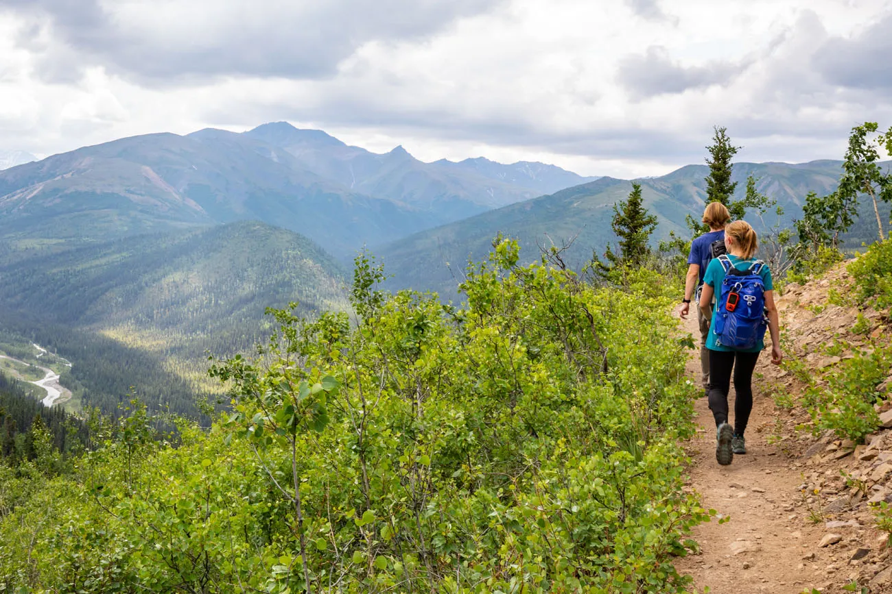
The Long Descent
Good news! The rest of the hike is now mostly downhill. It is a long descent with occasional views. We were glad that we were hiking down this lengthy section instead of hiking up this section.
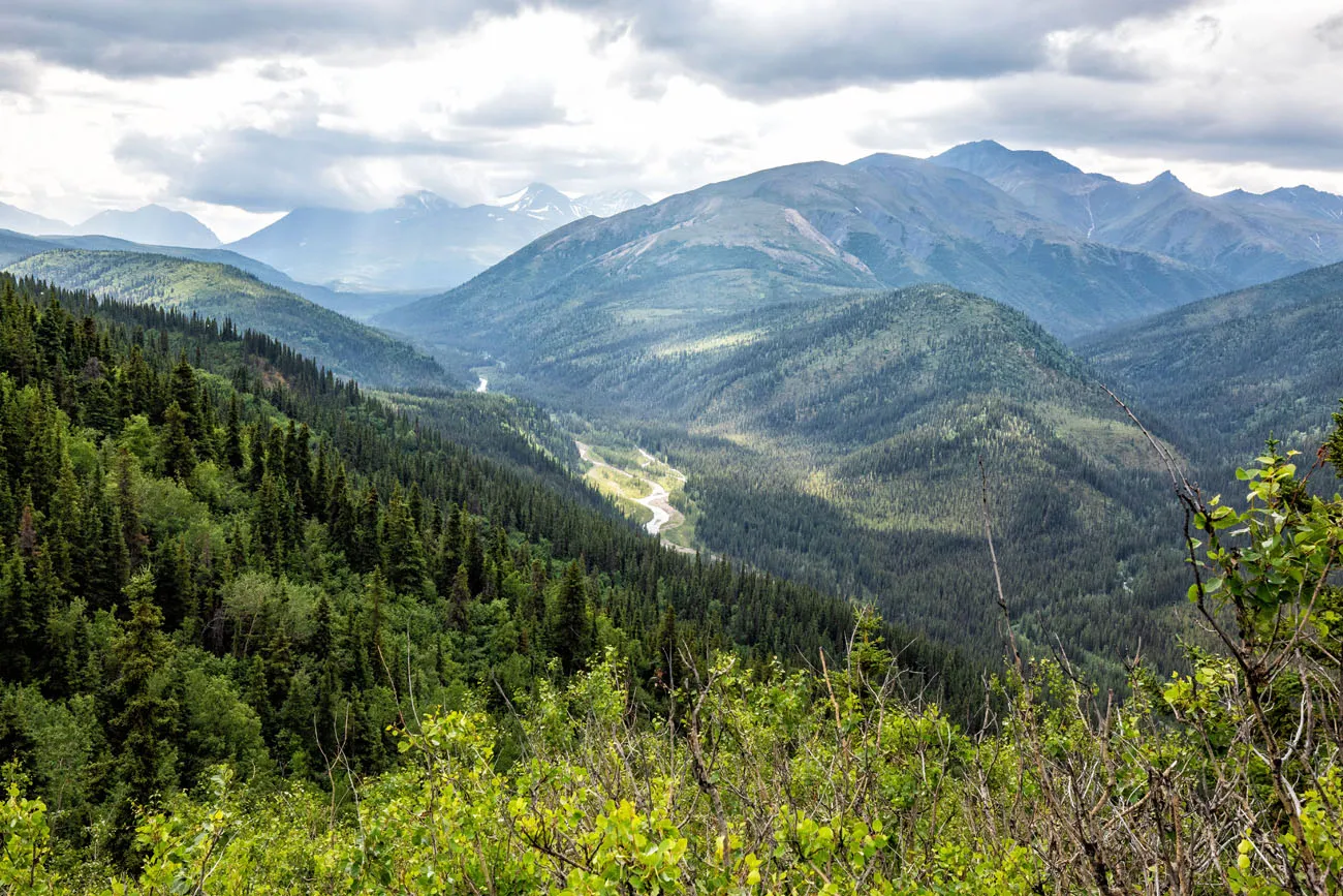
At 8.1 miles into the hike, you reach Riley Creek, another beautiful spot along this trail.
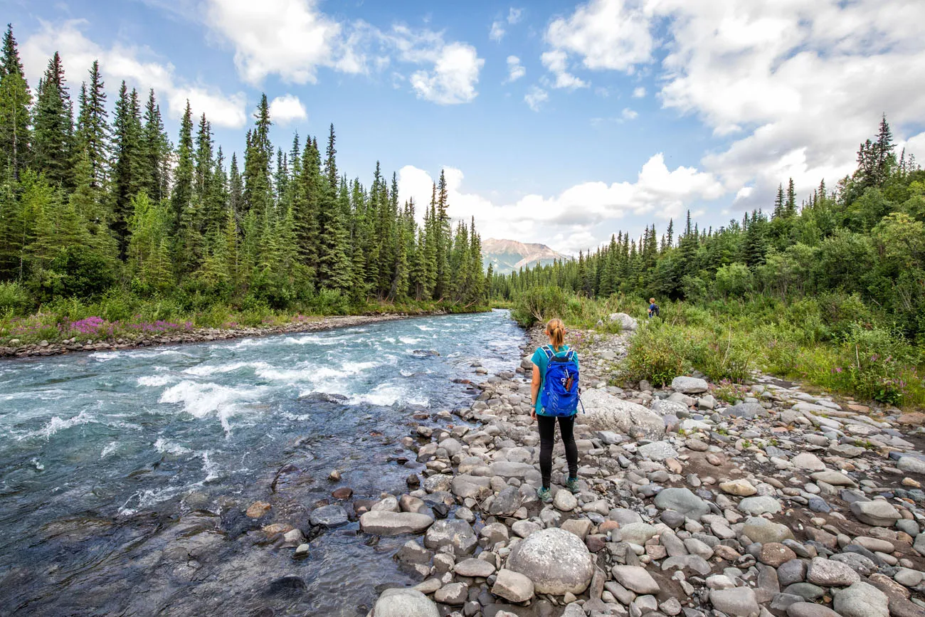
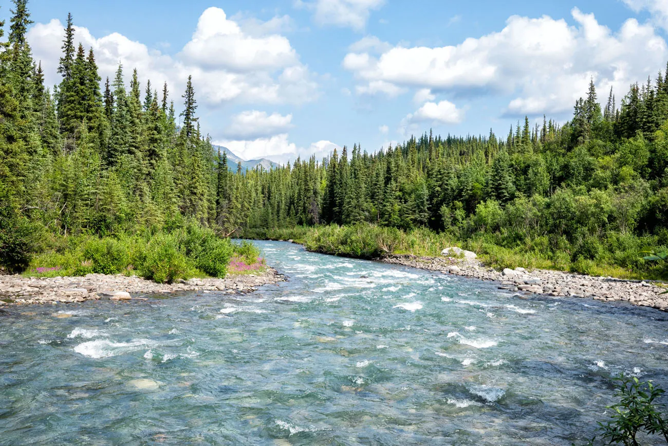
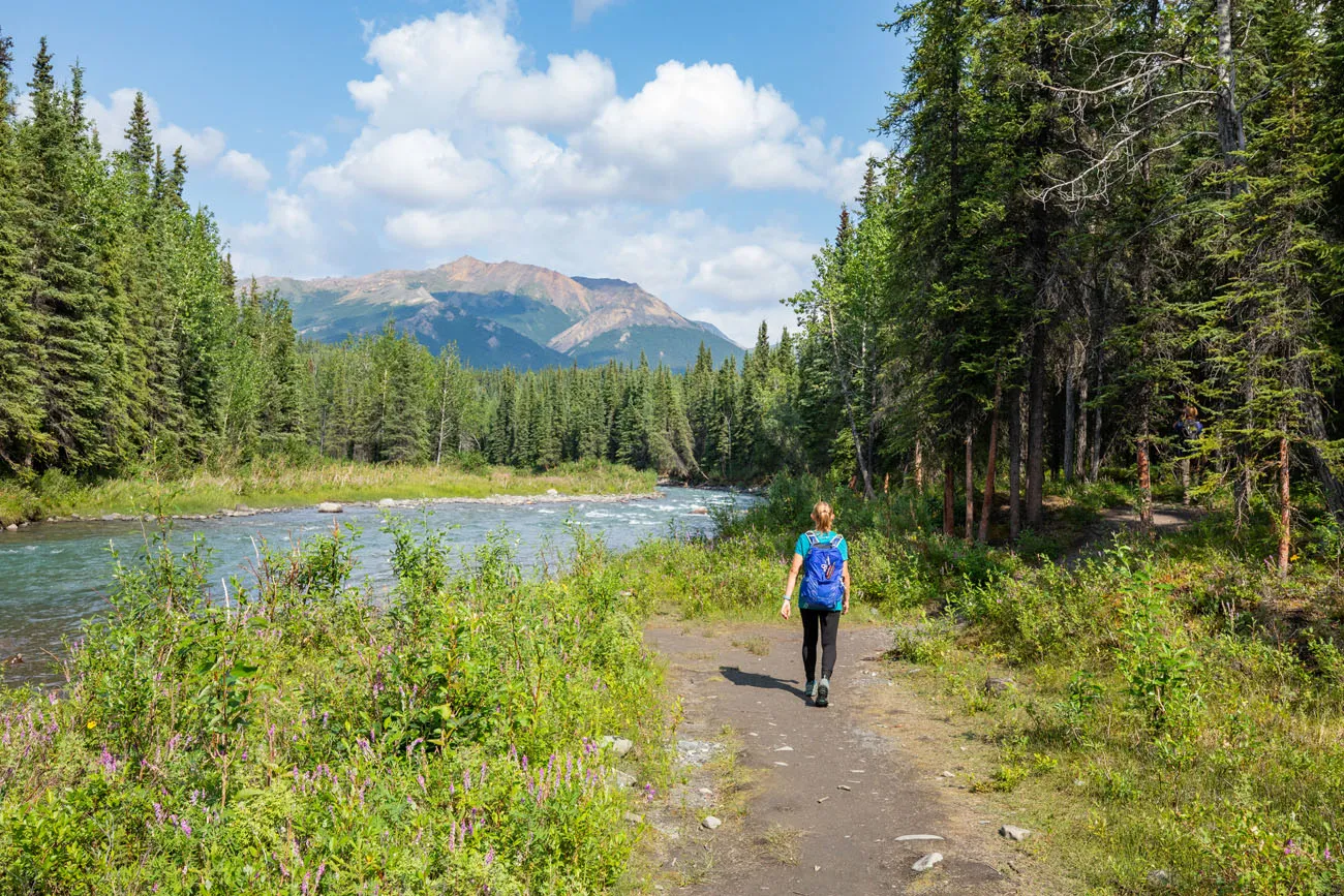
The trail will follow close to the river and at 8.8 miles into the hike you will cross the river via a suspension bridge.
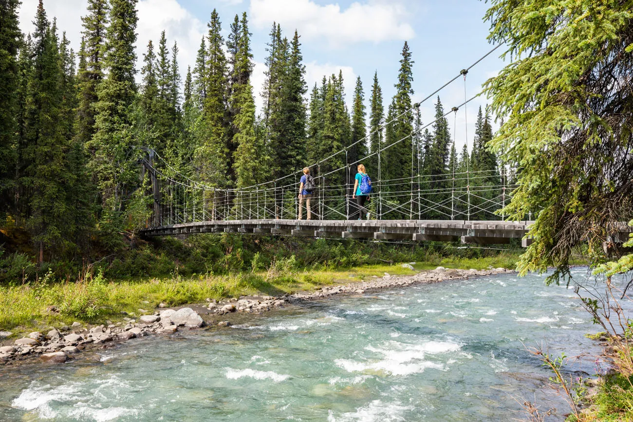
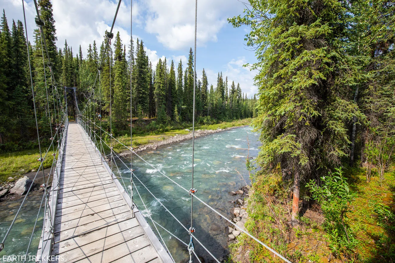
At 9.2 miles into the hike, you will reach a wooden bridge, which crosses Hines Creek. As you cross the wooden bridge you can also see the much higher (and still active) railroad bridge to your right.
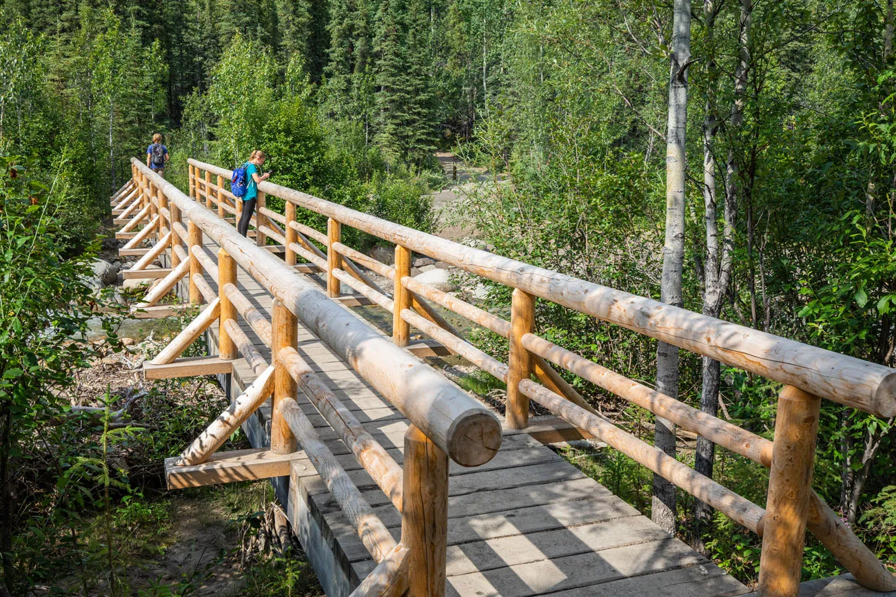
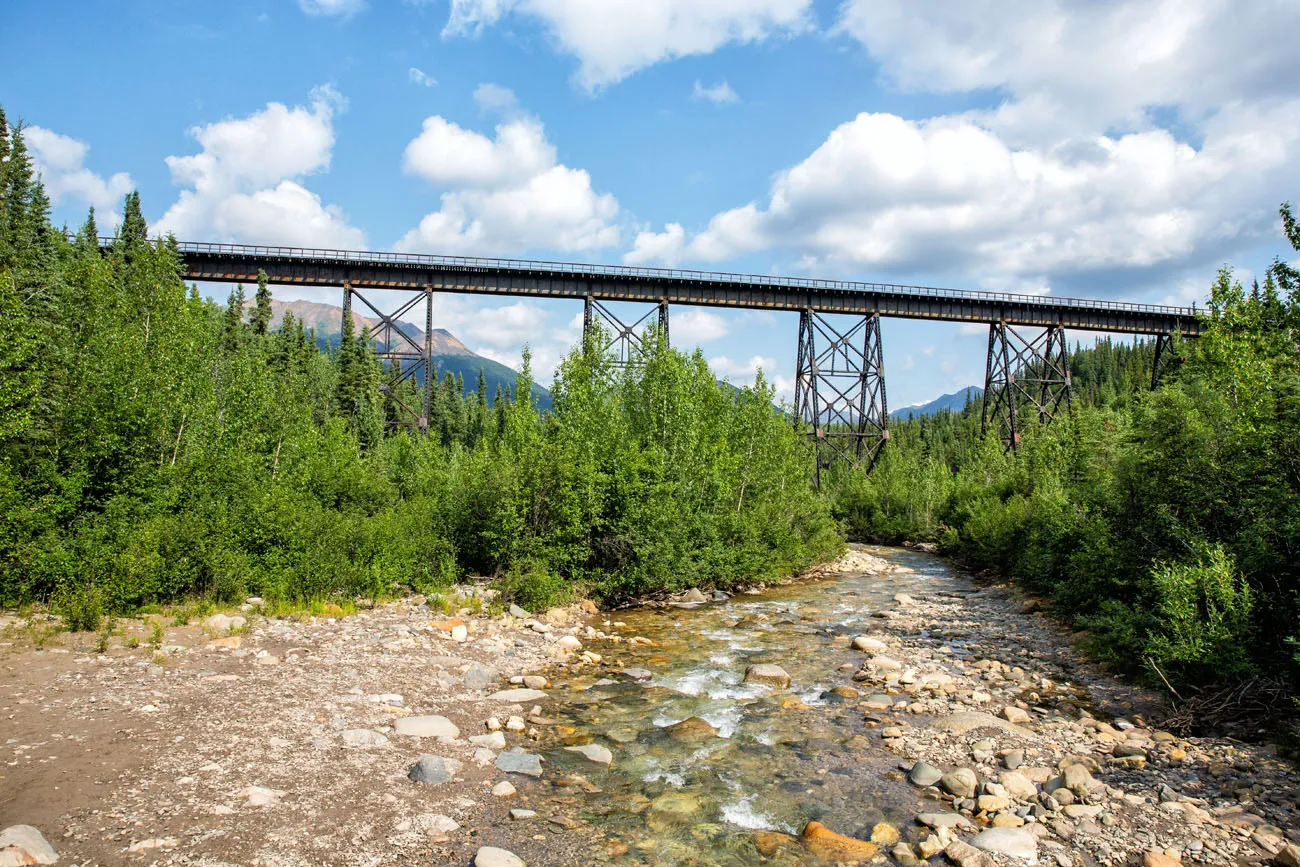
After crossing this wooden bridge, the trail now becomes a wider path of compacted dirt with crushed gravel. Immediately look for a posted trail marker pointing to the visitor center. It will direct you up a hill for one final ascent. Then at the top of the hill there will be another posted trail marker pointing you to the visitor center. Keep looking for these posted trail markers as there are a lot of trail splits in this area. The trail markers do a great job of getting you to the visitor center.
About Our Experience
Tyler, Kara, and I hiked the full length of the trail as a point-to-point hike. To avoid the transportation issue associated with a point-to-point hike, Julie volunteered to drop us off at the Parks Highway (Route 3) Trailhead and pick us up at the Denali Visitor Center.
Seeing the Triple Lakes, the mountainous views, and the creeks were all nice, and there was a lot of solitude on this trail, but overall there are several other hikes in Denali that we liked more. You won’t experience as much solitude on the Horseshoe Lake Trail, but it is a shorter hike, the logistics are easier, and the lake is beautiful. We also loved hiking the Savage Alpine Trail and the Thorofare Ridge Trail, both of which offered more spectacular mountainous views.
Frequently Asked Questions
Is the Triple Lakes Trail Worth It?
If you are looking for a lake setting with solitude, then yes. But it’s only worth it if you still have time in your itinerary after you have explored deeper into Denali National Park. For those looking for a lake setting but who are short on time, the Horseshoe Lake Trail is a good alternative.
How Do I Arrange My Transportation to Do This as a Point-to-Point Hike?
There is no shuttle service in Denali National Park that serves both of these trailheads. If you only have one vehicle, you can check with your lodging to see if they offer a shuttle service.
Is there an Option if I Don’t Want to Do the Full Triple Lakes Hike?
Yes. You can still hike to all three lakes as an out-and-back hike. Park at Parks Highway Trailhead. From here, it is a 6 mile out-and-back hike to Triple Lakes.
What to Bring
- Sunscreen
- Insect repellant
- Bear spray
- Rain jacket – Just in case bad weather moves in.
- Wear long pants – Long pants can protect your legs from the vegetation that aligns the trail, which did get high in a couple of places.
If you are new to hiking or are curious about what you should bring on a hike, check out our Hiking Gear Guide. Find out what we carry in our day packs and what we wear on the trails.
Wildlife Safety
Be bear aware, moose aware, and wolf aware. Posted signage at the Denali Visitor Center provides the following advice:
Bears
1. Talk and/or sing while you are hiking to make your presence known so you don’t surprise a bear. If you run out of things to say then simple repeat the phrase “Hey Bear”.
2. If you see a bear, do not run as they may see you as prey. Put your arms up to make yourself look bigger and back away slowly while keeping your eyes on the bear. Get at least 300 yards away from the bear.
3. If the bear charges at you then use bear spray.
Moose
1. Stay at least 25 yards away from a moose.
2. A moose may charge if you are too close, especially a mother protecting a calf. If this happens then run and get away as fast as you can. They will try to trample a perceived threat.
Wolves
1. Stay at least 25 yards away from a wolf.
2. If a wolf approaches you then shout aggressively and throw rocks at it.
In 2021 it was estimated that 350 bears, 1,700 moose, and 90 wolves (14 packs) inhabit the 6 million acres of Denali National Park. The only wildlife that we saw while hiking the Triple Lakes Trail was a beaver in Lake #1. But we did see Moose droppings at Lake #2 and at several other places along the trail.
Get updates on road conditions and trail closures, as you plan your trip and just before your visit, on the National Park Service website.
If you have any questions about how to hike the Triple Lakes Trail, or if you want to share your experience, let us know in the comment section below.
More Information about Alaska
MORE HIKES IN DENALI: There is a long list of hikes to do in Denali. Several top hikes include the Savage Alpine Trail, Mount Healy Overlook, and the Horseshoe Lake Trail. Get the full list in our Denali Hiking Guide.
DENALI PARK ROAD: Taking a park shuttle on Denali Park Road is one of the top experiences in the park. In our Guide to Denali Park Road, learn what there is to see and do along the road. It’s also important to know that currently there is a road closure on Denali Park Road, which will impact your experience.
KATMAI NATIONAL PARK: In our article Best Things to Do in Katmai, we cover the top experiences in the park. For a unique experience, take a photography tour to capture the action at Brooks Falls from Brooks River and learn how to see the bears at Brooks Falls. You can also visit the Valley of 10,000 Smokes, the site of one of the world’s largest volcanic eruptions in recent history.
KENAI FJORDS NATIONAL PARK: While in Kenai Fjords National Park, hike the Harding Icefield Trail, cruise the Northwestern Fjord, go ice climbing on the Exit Glacier, or go kayaking in front of Aialik Glacier.
WRANGELL-ST. ELIAS NATIONAL PARK: For a full list of our Wrangell-St. Eilas National Park articles, plus important planning tips, check out our Wrangell-St. Elias National Park Travel Guide.
MORE GREAT HIKES IN THE NATIONAL PARKS: From hikes to the tallest peaks to beautiful coast trails, read our Guide to the Best Day Hikes in the US National Parks. If you prefer to keep your hikes short and sweet, read our guide to the Best Short Hikes in the National Parks.
Read all of our articles about Alaska in our Alaska Travel Guide and the United States in our United States Travel Guide.
All rights reserved © Earth Trekkers. Republishing this article and/or any of its contents (text, photography, etc.), in whole or in part, is strictly prohibited.

Leave a Reply