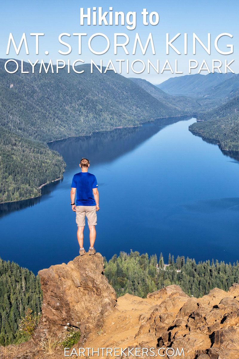
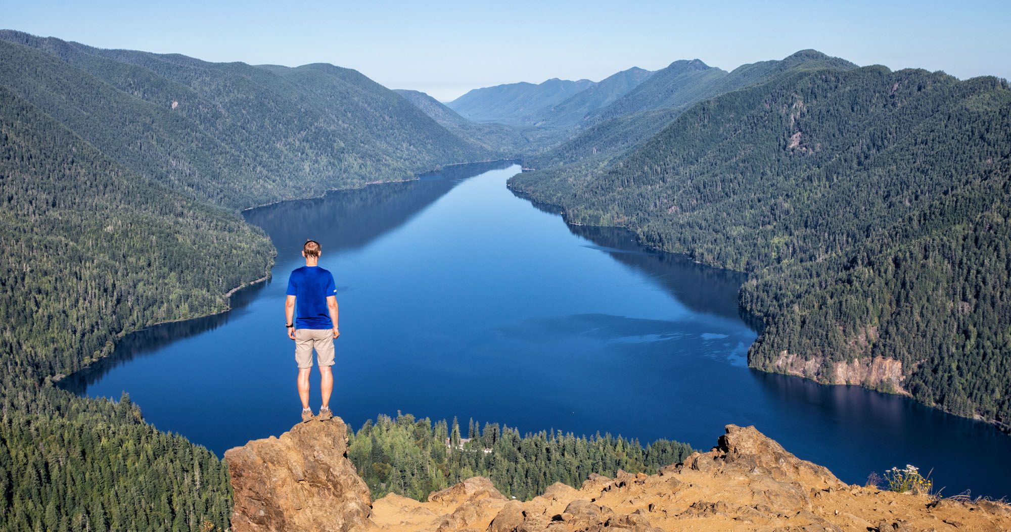
The hike to Mount Storm King is a short but grueling hike in Olympic National Park. From the peak, you get a spectacular view of Lake Crescent.
On this hike, it is a steep, relentless climb up to Mount Storm King. Just before reaching the summit, where the trail somehow gets even steeper, you’ll pull yourself up using a series of ropes. Then it’s one final, short scramble to the peak of Mount Storm King.
For an added bonus, you can add on the short hike to Marymere Falls, either at the end or the beginning of this hike. How to do this is explained at the end of this post.
Mount Storm King Hiking Stats
Distance: 4.6 miles round trip
Difficulty: Hard
Total Elevation Gain: 2100 feet
Starting Elevation: 700 feet
Highest Elevation (Mt. Storm King): 2,700 feet
Length of Time: 2 to 4 hours
When to Go: May through October
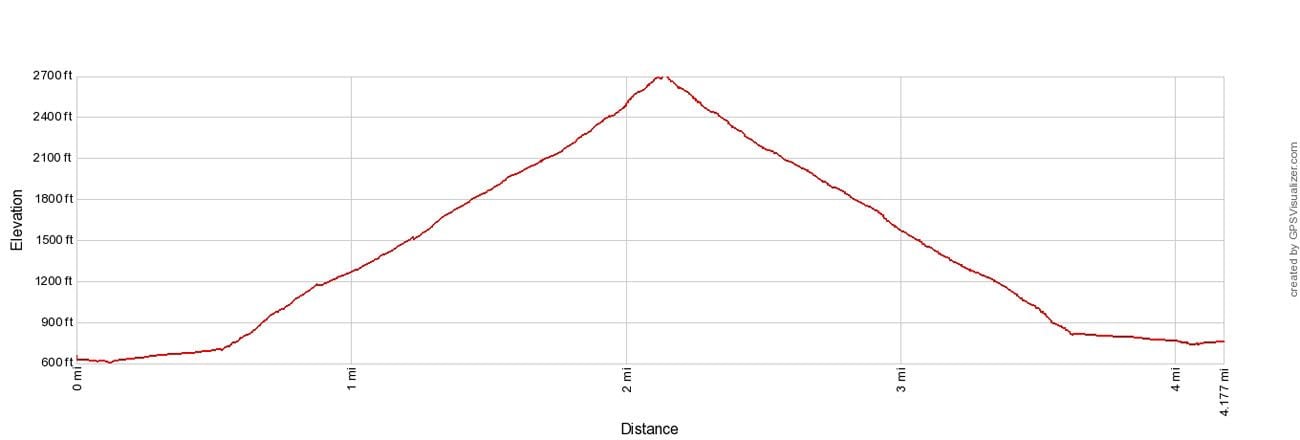
Elevation profile
Please practice the seven principles of Leave No Trace: plan ahead, stay on the trail, pack out what you bring to the hiking trail, leave areas as you found them, minimize campfire impacts, be considerate of other hikers, and do not approach or feed wildlife.
Hiking to Mount Storm King
Step-By-Step Trail Guide
Getting to the Trailhead
Park in the lot on Highway 101 (Olympic Highway) next to the Storm King Ranger Station. To get here, turn onto Lake Crescent Road and follow the signs to the parking area.
The hike to Mount Storm King shares the same trailhead for Marymere Falls. The trail starts on the east side of the parking lot, heads behind the Storm King Ranger Station, and then crosses under Highway 101.
Hiking to Mount Storm King
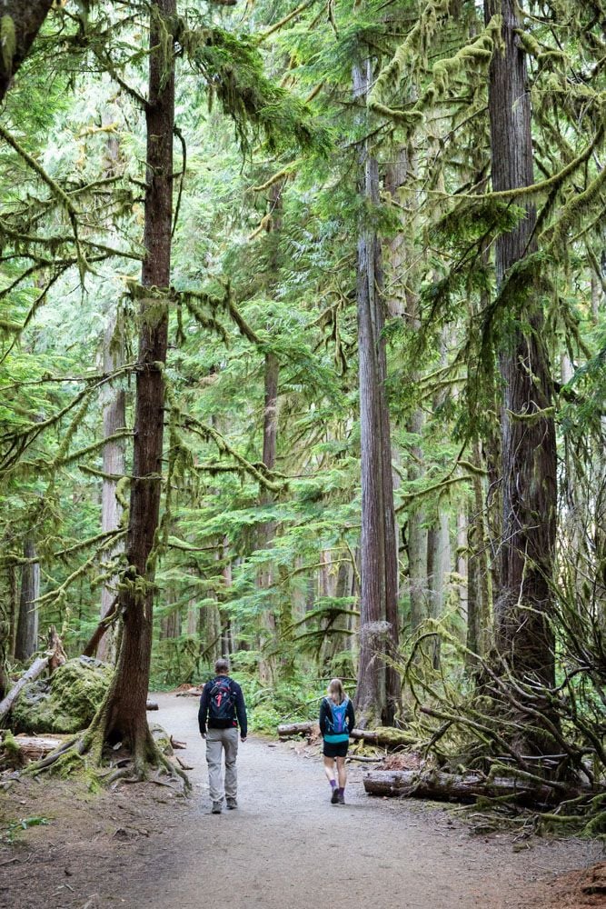
The first part of the hike is lovely. It’s flat, it’s beautiful, and it’s smells wonderful. Enjoy this part of the trail. Hiking conditions are about to change dramatically.
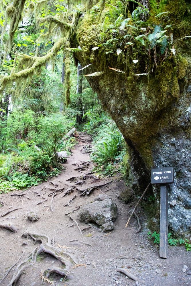
A half-mile into the hike, you say goodbye to the flat trail and begin the steep climb up Mount Storm King. Look to your left for the sign pointing to Mt. Storm King and the trail that heads up into the forest.
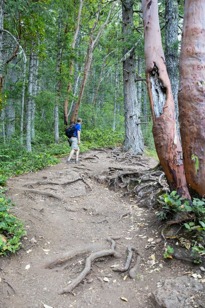
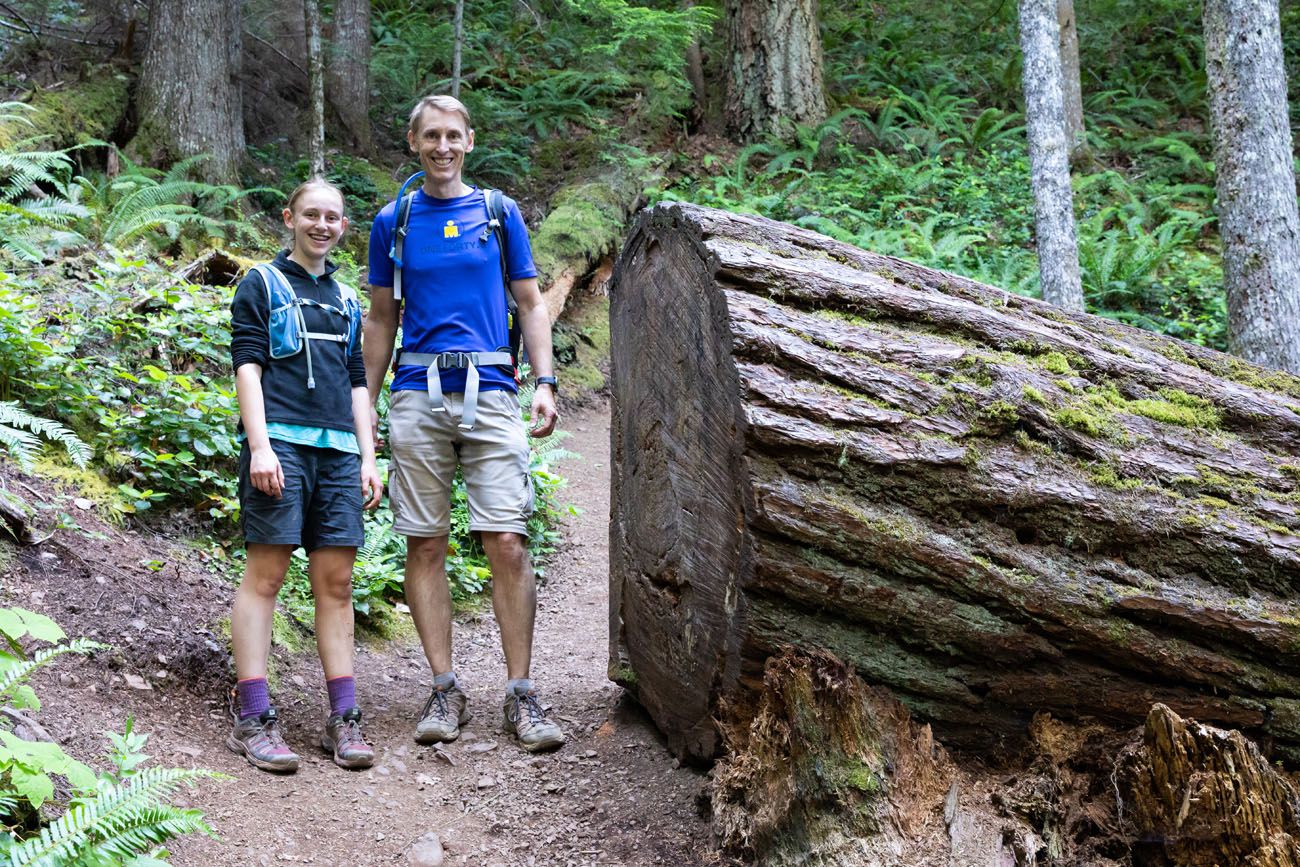
For the next 1.25 miles it is a steep, steady hike up through the trees. It is a very tiring climb with very little rest along the way. For most of this hike, there is also very little to look at, since you are hiking through a dense forest.
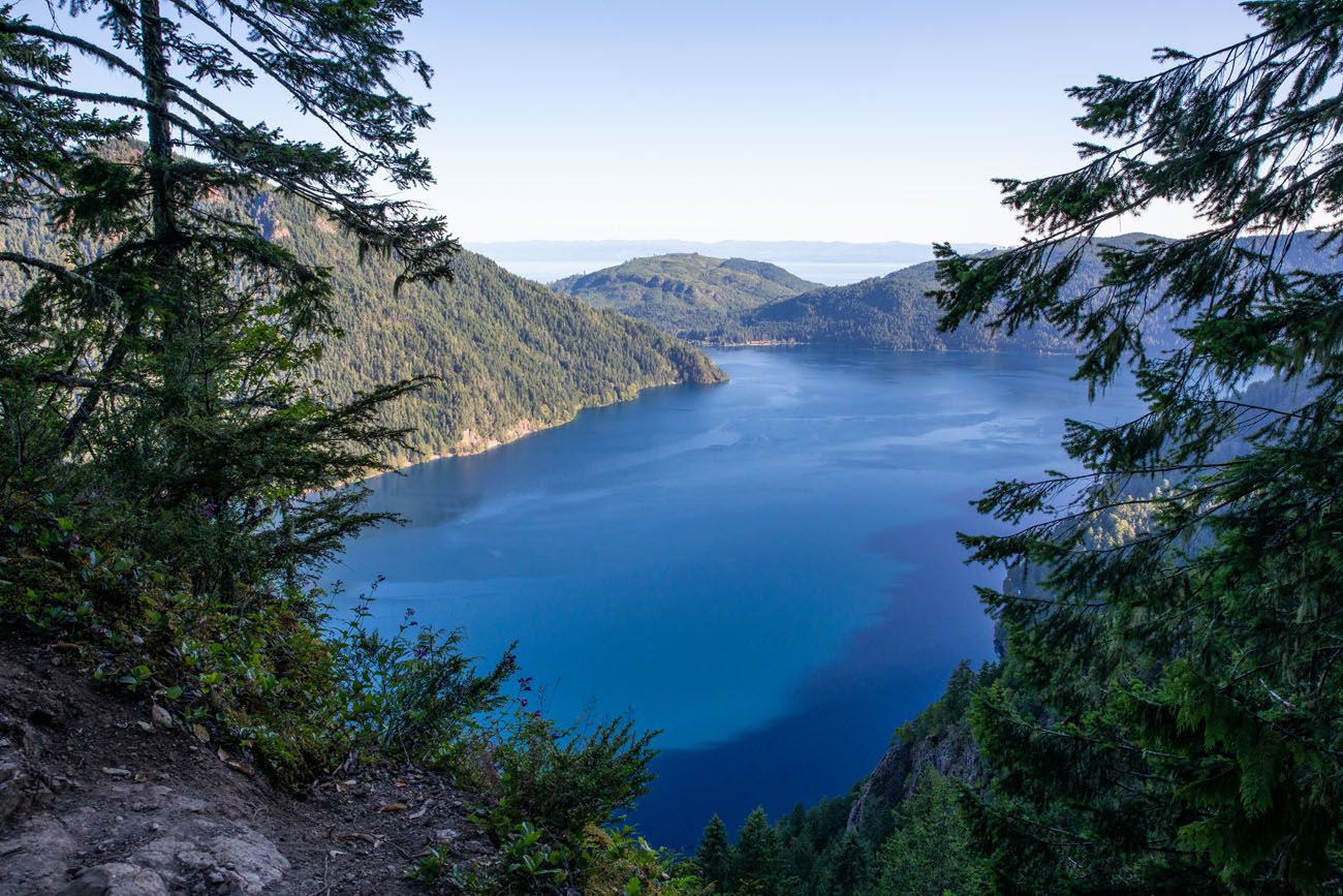
1.6 miles into the hike you reach a clearing with a nice view over Lake Crescent. Then it’s back into the trees, just for a little bit, until you reach a more exposed trail near the top of the mountain.
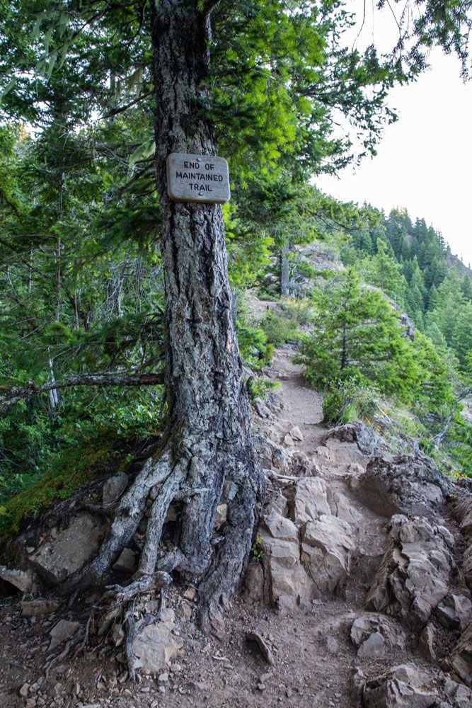
Just before reaching the rope section, the views open up again and the maintained trail comes to an end. From here to Mount Storm King, the trail is rough, rocky, and slippery in some spots.
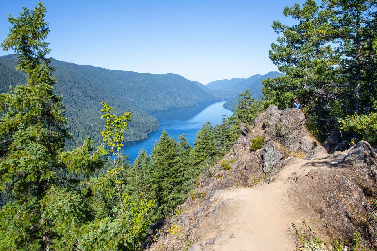
The final climb is the most difficult, and if you like the idea of pulling yourself up a slippery dirt trail with the aid of ropes, the most fun. This final bit of trail is very steep with almost no traction. When we did this, it hadn’t rained for a while, so the trail was very dry and dusty. If the steep, slippery conditions alarm you, you should be aware that it is much more difficult coming back down. If you can’t handle the ascent, turn around here.
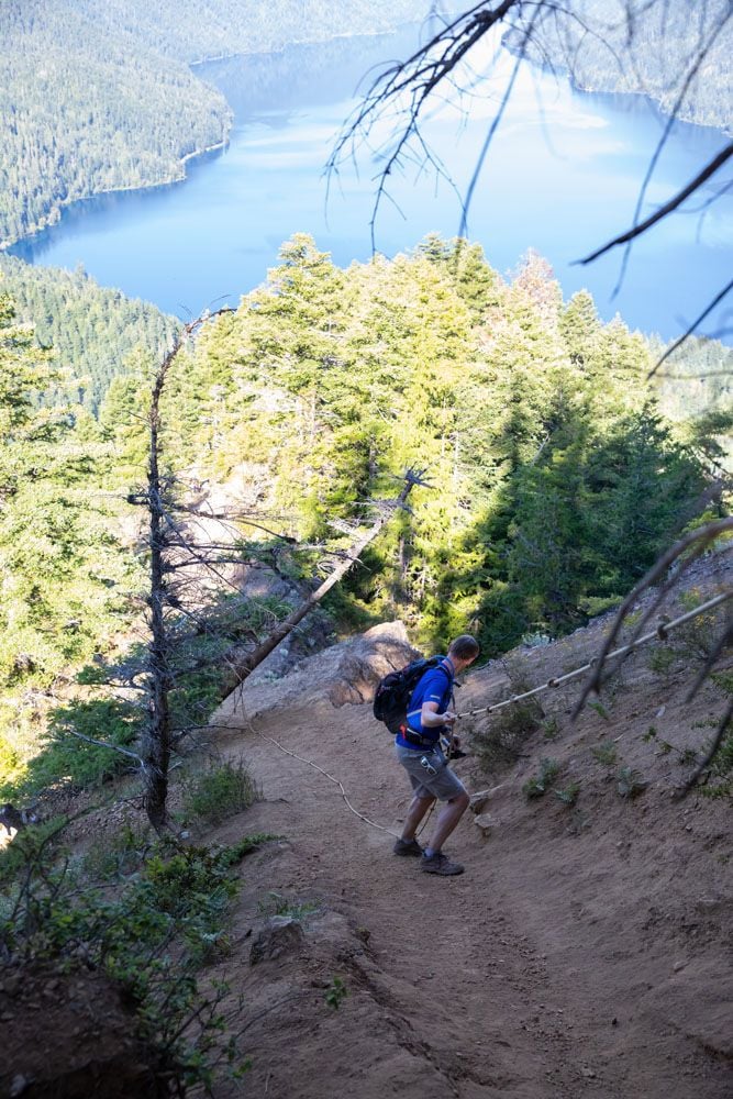
Past the rope section, the trail turns to the left. It’s a small, easy rock scramble to the rocky outcropping that overlooks Lake Crescent. Enjoy the view!
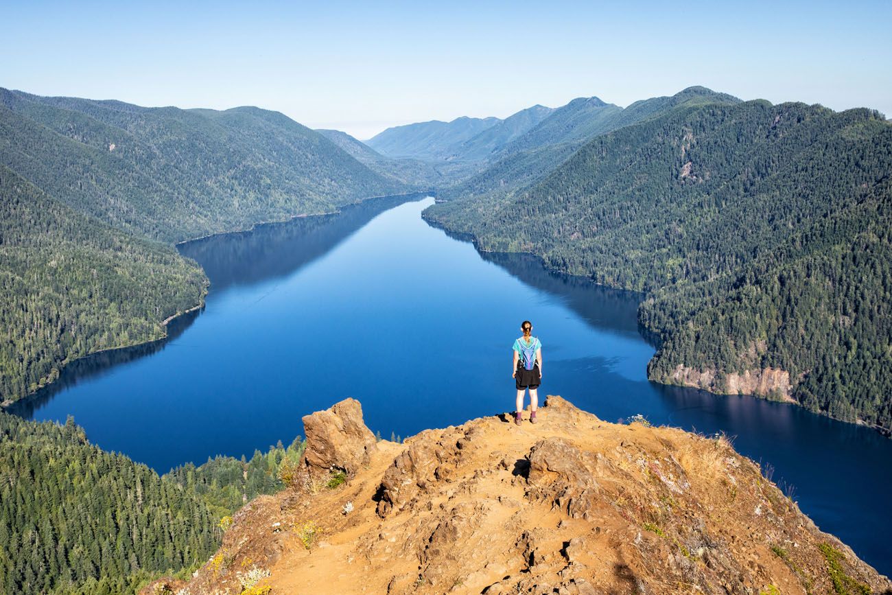
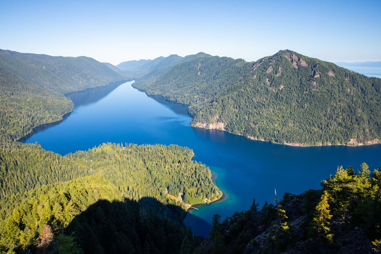
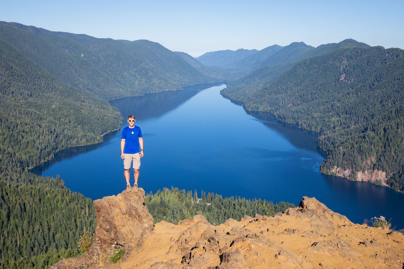
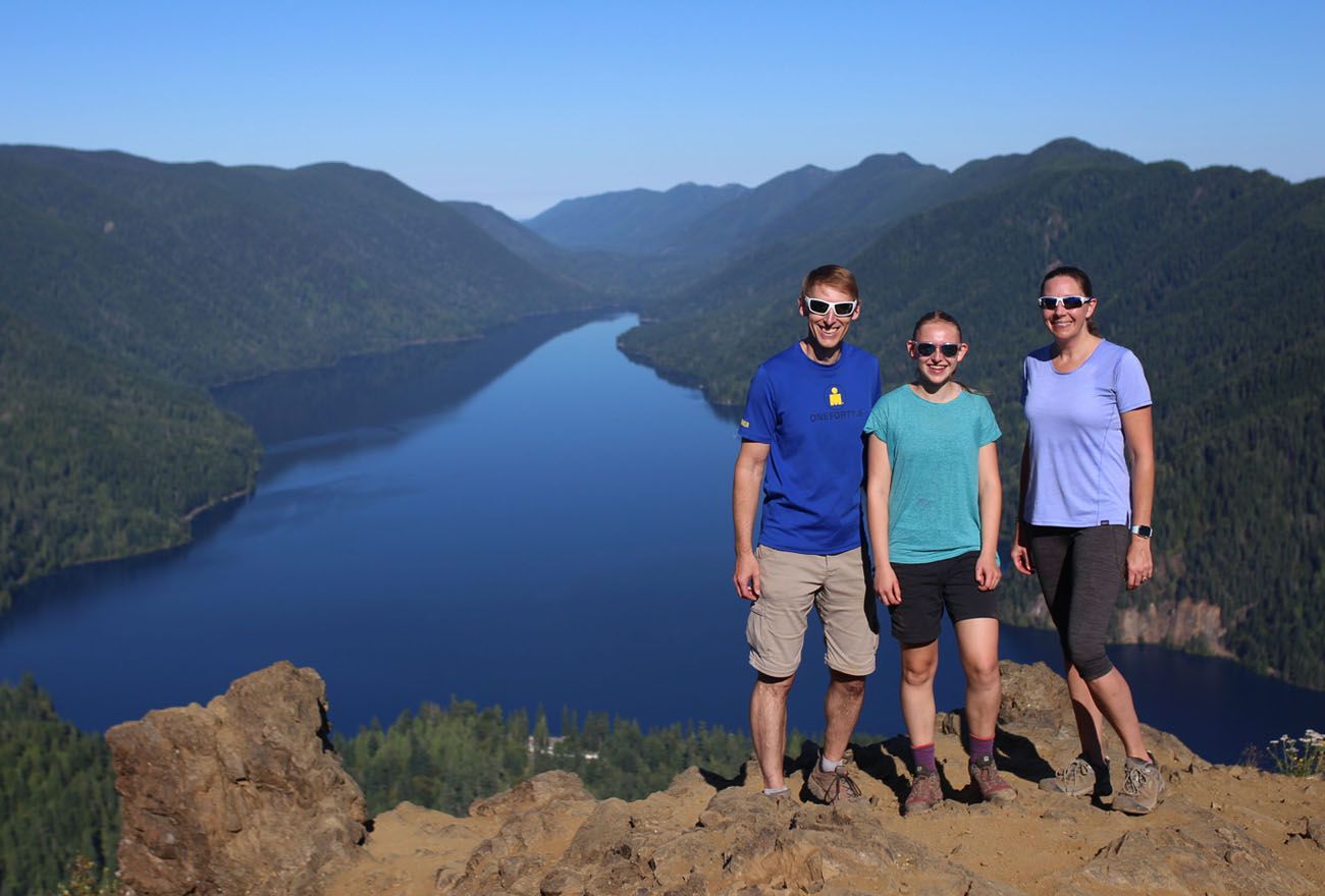
Photo credit: Ashley and Will. Thanks!!
Adding on Marymere Falls
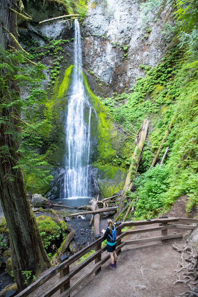
Marymere Falls makes a great addition to this hike. It’s a short, flat trail with a section of steps to get to the viewpoint. If you add it on to the end of the hike, it will feel like a breeze compared with Mount Storm King. But if you are here early in the morning, it might be worth it to go to the waterfall first, because you just might have it all to yourself.
Hiking Stats: Mount Storm King + Marymere Falls
Distance: 6 miles
Total Elevation Gain: 2,330 feet
Once you pass the trail to Mount Storm King, continue down the wide trail until you reach a fork in the trail. Stay right to continue to Marymere Falls.
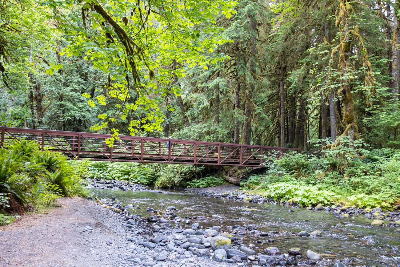
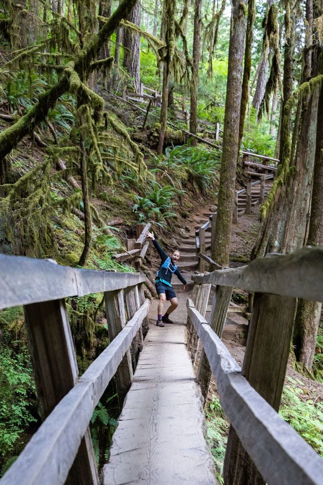
You will cross two bridges, a metal bridge followed by a single log bridge with railings. Then, you reach the loop trail which you can take in either direction. A series of staircases takes you up to the viewpoint for Marymere Falls.
Is Mount Storm King Worth It?
We liked this hike but we did not love it.
Don’t underestimate this hike. It’s short but it is tough. Most of the time is spent hiking up through the trees, without much of a view. You really don’t get to see much until you are almost at the top of Mount Storm King.
The view from Mount Storm King is great, but it’s a tough hike for this view. I’m very glad we did it, but we have another trail recommendation for you.
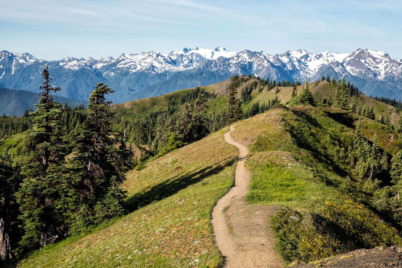
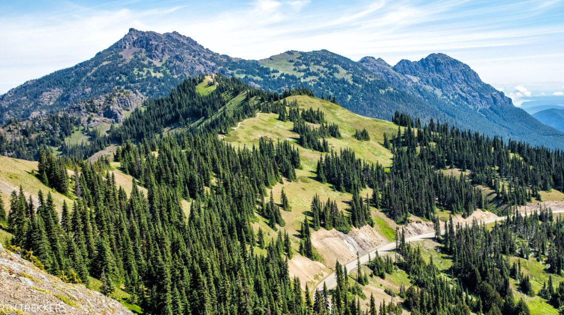
If you want a hike that offers amazing panoramic views, we recommend hiking to Mount Angeles from Hurricane Ridge. This is another tough hike, but you are treated to jaw-dropping views for the entire hike. Even if you skipped the end of the hike (the strenuous hike plus rock scramble up Mount Angeles), you would still have better views (in our opinion) than those from Mount Storm King.
Tips to Have the Best Experience
This hike is best done on a clear day. If it’s cloudy, you won’t get to see the amazing views that you worked so hard for. Check the weather forecast before you go and if you will be in Olympic National Park for multiple days, consider hiking this trail on the clearest weather day.
Leave no trace. When you are in the park, practice the seven principles of Leave No Trace. This includes packing out what you bring into the park, be considerate of other hikers, stay on the trail, and do not remove anything from the park.
What to Bring on the Hike
Hiking shoes. Don’t do this hike in anything other than hiking shoes or hiking boots. The final trail up to Mount Storm King is very slippery, even with the aid of the ropes. You will also need shoes with good traction for the final section of this hike.
Hiking poles. Hiking poles take the stress off of your legs and help to ease leg pain and fatigue.
Gloves. Not necessary but they will help protect your hands on the ropes.
Water and snacks. At least 2 liters of water in the summer.
Rain jacket or fleece. It can be chilly on top of Mount Storm King, even in the summer. Be prepared for all weather conditions.
Essential Hiking Gear: What Should You Bring on a Day Hike?
If you are new to hiking or are curious about what you should bring on a hike, check out our Hiking Gear Guide. Find out what we carry in our day packs and what we wear on the trails.If you have any questions about hiking to Mt. Storm King in Olympic National Park, let us know in the comment section below.
More Information about Washington State
Are you planning a trip through the United States? Visit our United States Travel Guide and Washington Travel Guide for more travel ideas and inspiration.
Comments 10