Looking for one of the best hikes in the adventure capital of British Columbia? If you’ve made your way into the small town of Squamish, chances are you’ve admired the view of Stawamus Chief, the giant granite monolith that sits beside Howe Sound. And if you’ve ever been left wondering what the view is like at the top, keep reading.
Serving as a great half-day hike with the option to stand atop all three of the Chief’s peaks, this hike may end up being your favorite experience in Squamish.
A Quick Overview of the Stawamus Chief Hike
The Stawamus Chief is made up of three distinct granite peaks which loom over the town of Squamish.
As you follow the trail, you’ll face steep climbs over rock and wooden stairways, as you hike up to each individual peak. This hike is short but steep and can be physically demanding at times. Nearing the summits, you’ll also face some minor, technical bouldering portions.
You have the option to pick and choose which peaks to stand atop or visit all three! For the complete experience, hike up to the peaks in chronological order (1st, 2nd, 3rd). This was the direction that we followed the trails, and also the order that the hike will be written in down below.
Note that depending on the time of year, portions of the trail will be covered in snow. When we completed the hike in mid-March, after a few unusually warm & sunny days, we still found a thin layer of snow covering the trail leading from the 2nd to the 3rd peak. If hiking in early spring or late fall, we recommend either wearing hiking shoes with great traction, or snowshoes. For more questions, see our FAQ section at the end of the article.
Stawamus Chief Hiking Stats
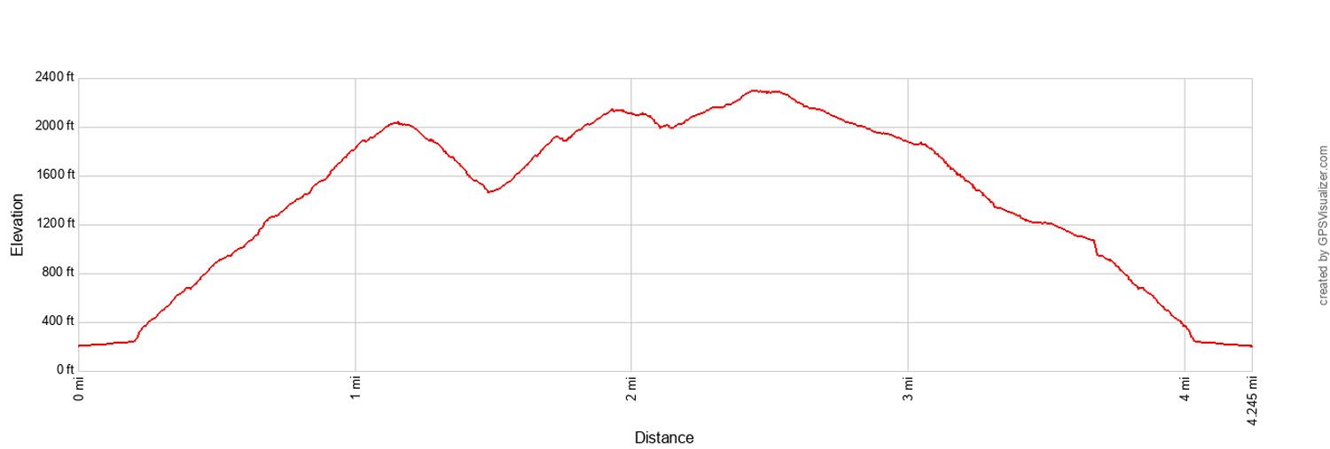
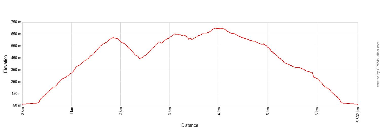
Distance: 6.8 km (4.25 miles)
Difficulty: Moderate
Total Ascent: 905 meters (2,970 feet)
Starting Elevation: 60 meters (200 feet)
Peak 1 Elevation: 620 meters (2,031 feet)
Peak 2 Elevation: 652 meters (2,138 feet)
Peak 3 Elevation: 700 meters (2,293 feet)
Total Time: 5 to 7 hours
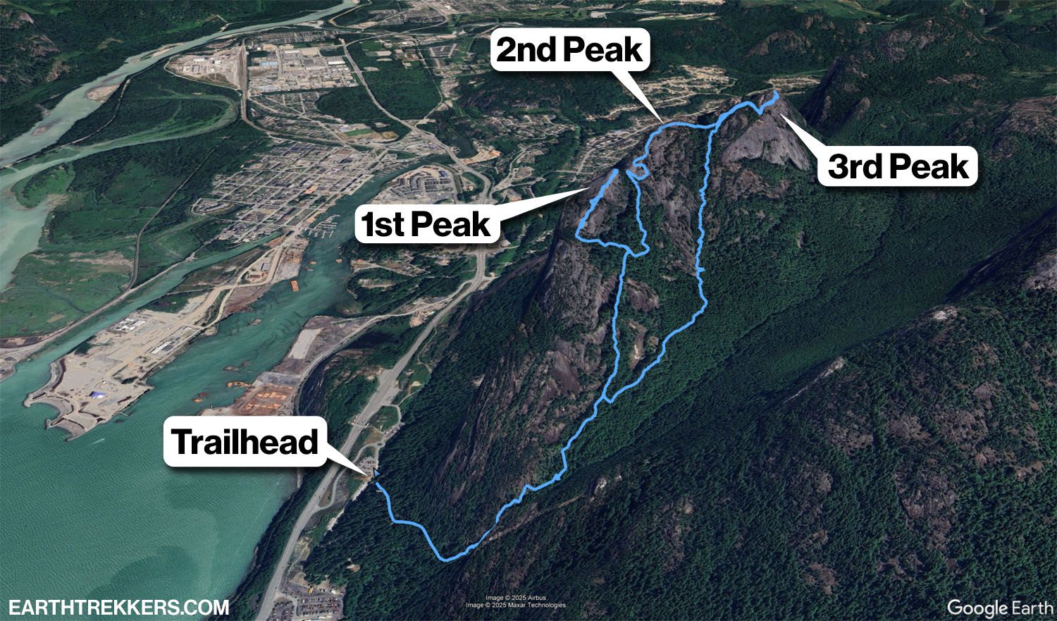
Stawamus Chief Trail Map
Stawamus Chief Hike
Step-By-Step Trail Guide
Trailhead & Parking
The trail begins within the Stawamus Chief Provincial Park Campground, located at the southern base of the Stawamus Chief. We completed the hike in mid-March, and by 10:00 am the parking lot was half-full (keep in mind visitors will also come to rock climb and camp). You’ll follow a wide, flat road into the woods past the campsites, where you’ll find the trailhead and the start of your climb.
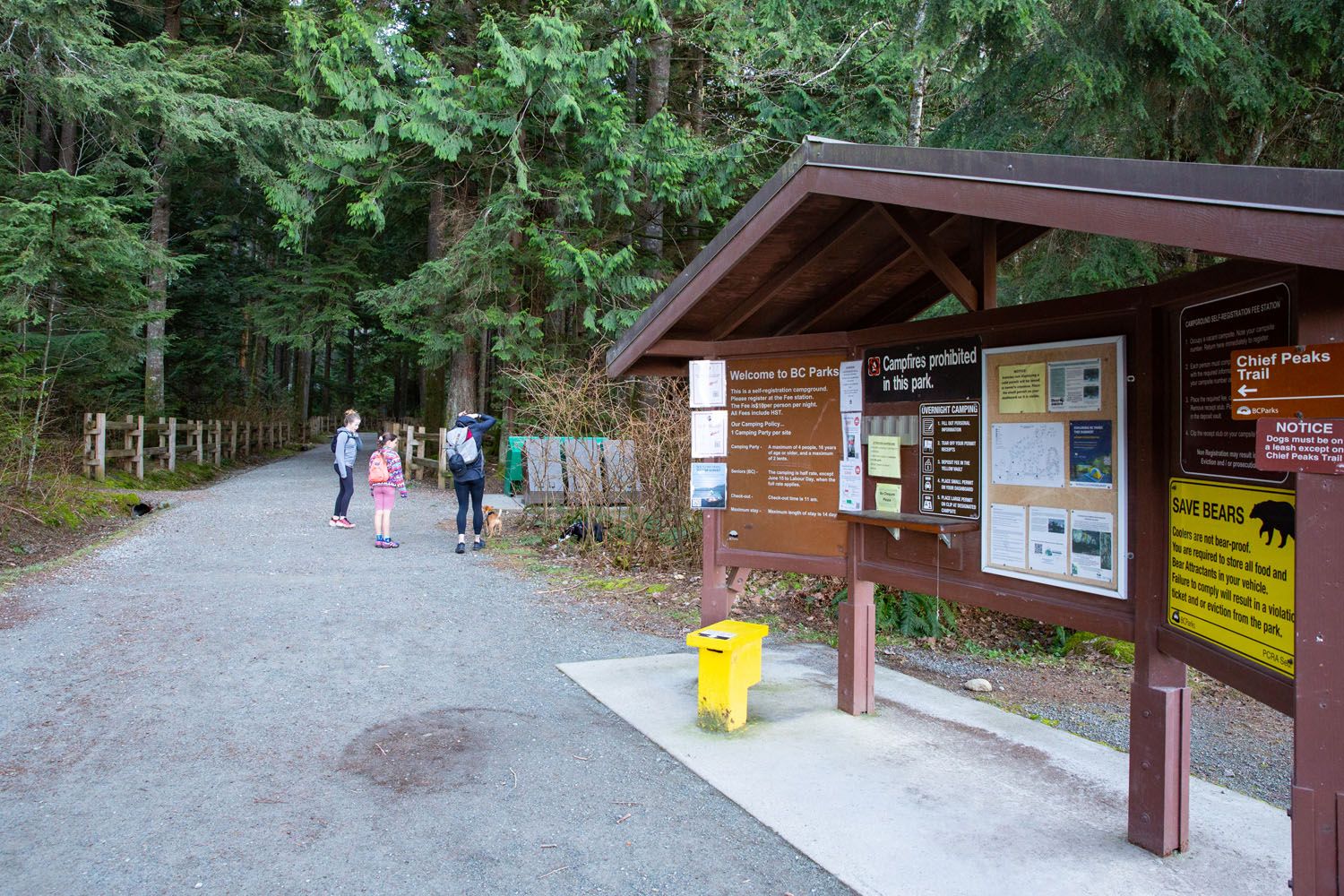
The trailhead
Sea to Summit Trail
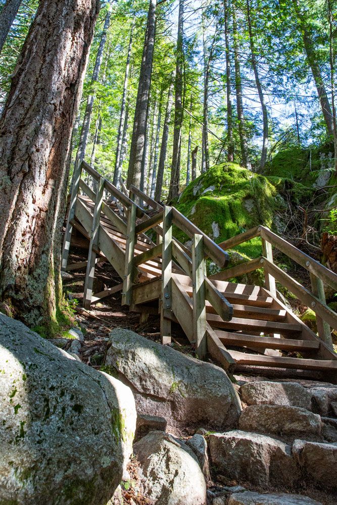
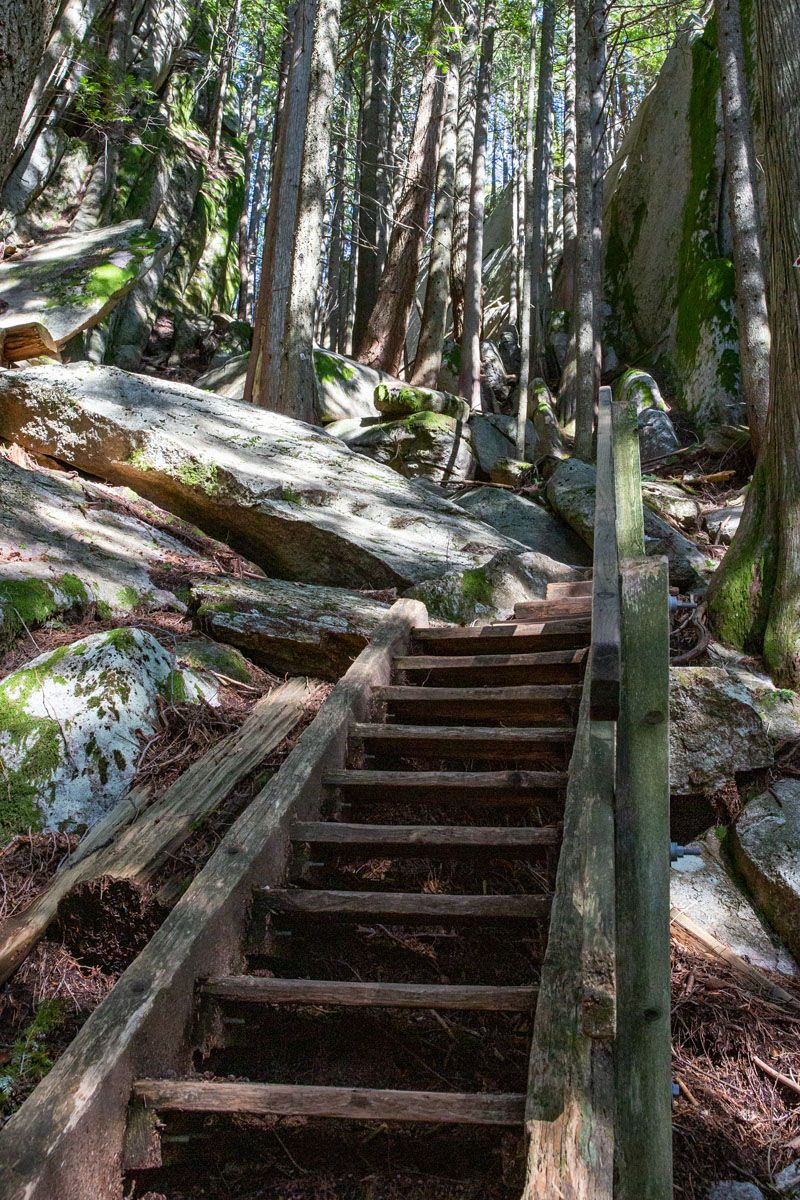
Almost immediately you’ll begin climbing up a mix of steep, wooden staircases and rocky steps.
This hike is short but steep, and the climb continues until you’ve essentially reached the peaks. Fortunately, the steepest parts of the climb are found at the start of the hike, while you’re on fresh legs. You’ll also be hiking under tree cover and alongside a waterfall, so temperatures will be cooler. Do note that the trail can get slick on a rainy day, so we recommend hiking in shoes with good grip.
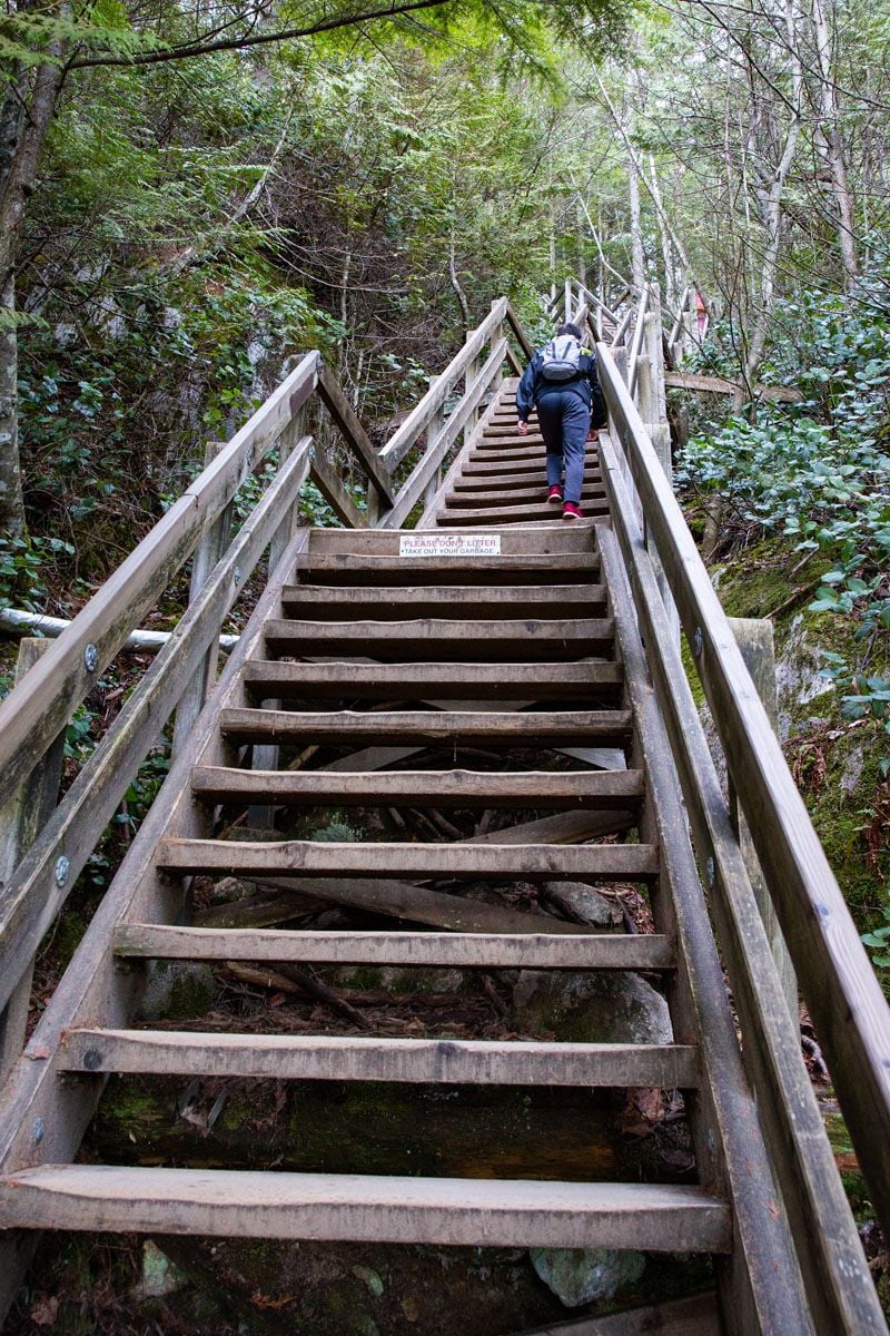
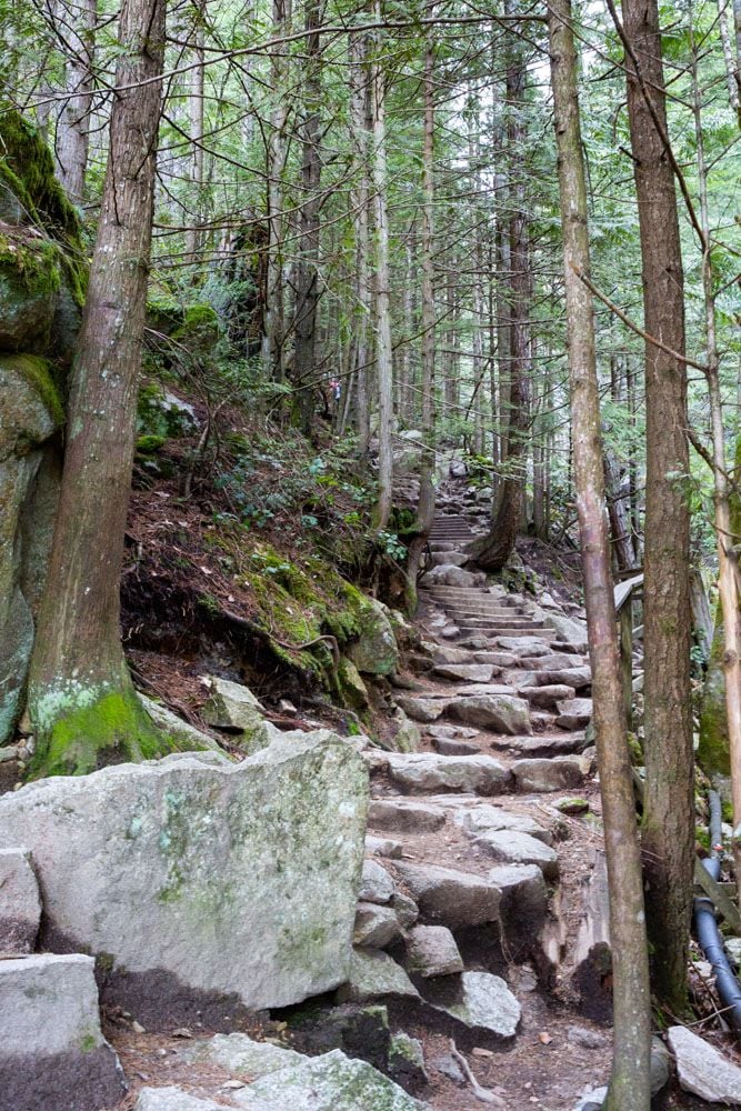
As you continue upwards from the trailhead, follow the green diamond trail markers, labeled “Sea to Summit.”
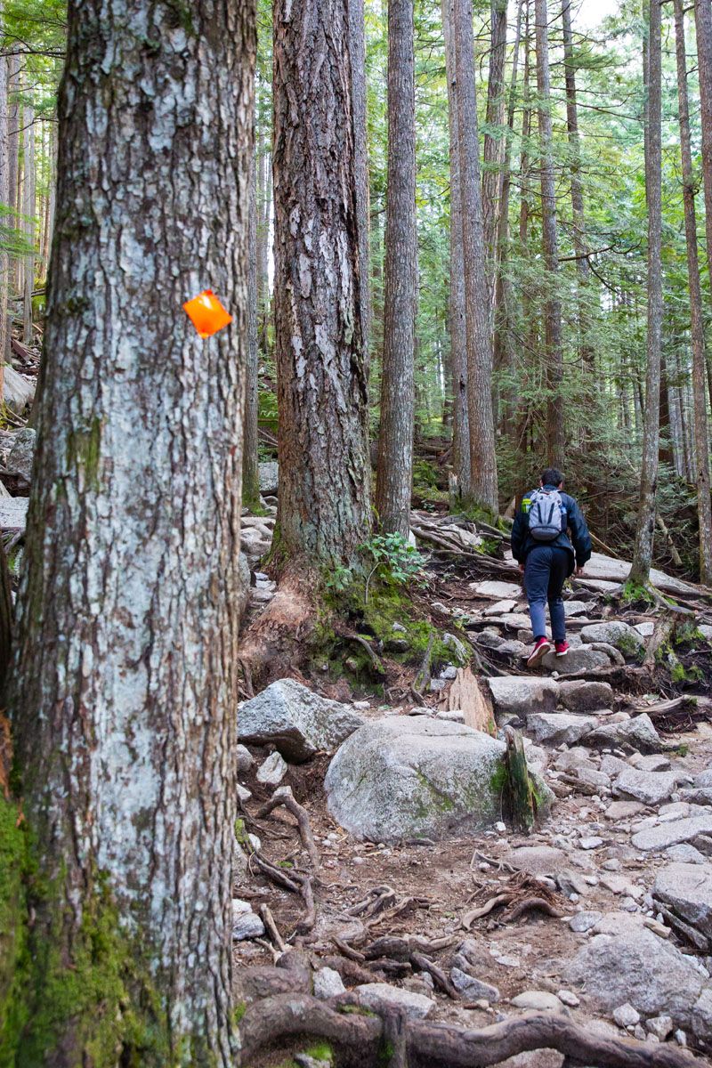
Around 1 km (0.6 miles) into the hike, the trail will split. Continue straight and follow the orange diamond markers. If you turn right, you will hike further along the Sea to Summit trail, which leads up to the top of the Sea to Sky Gondola.
Stawamus Chief First Peak
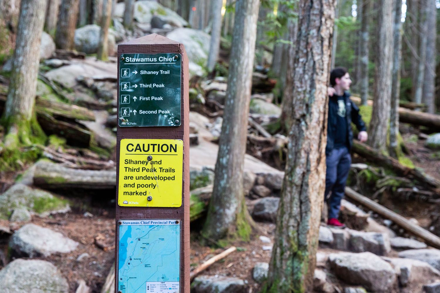
Only a minute or two further up the trail, you’ll come to another split. Here you have to decide which peak you’d like to visit first.
Continue to the left on the more well-maintained trail for peaks 1 & 2 or take the trail on the right up to the 3rd peak. We recommend heading to the 1st and 2nd peaks first, for an easier trail and better views. If you’re taking the 3rd peak trail, note that it is difficult to spot, so we advise having a digital map open, such as Google Maps or AllTrails, to tell if you wander off the trail.
From here the trail continues upwards but isn’t as steep as the first segment. The trail can best be described as a moderate climb with short spurts of steep stair segments. No switchbacks or technical sections, just a steady climb forward along a dirt trail.
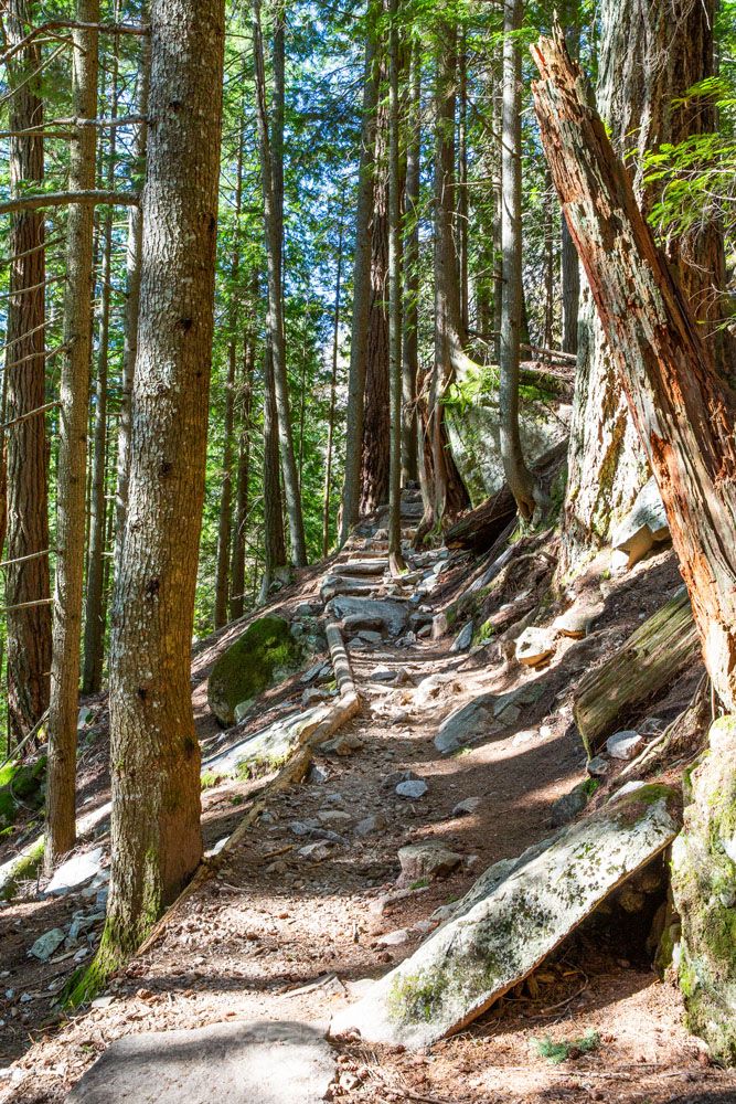
1.6 km in (1 mile) you’ll reach the trail split for the first and second peaks. We recommend taking the left trail up to the 1st peak, and then doubling back down to this junction to take the right trail for the 2nd peak. Both peaks are only around 1 km (0.6 mi) from this junction, and both trails are well-marked.
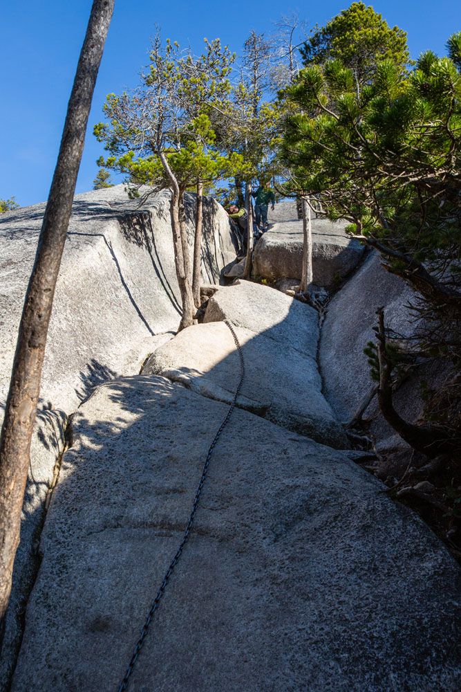
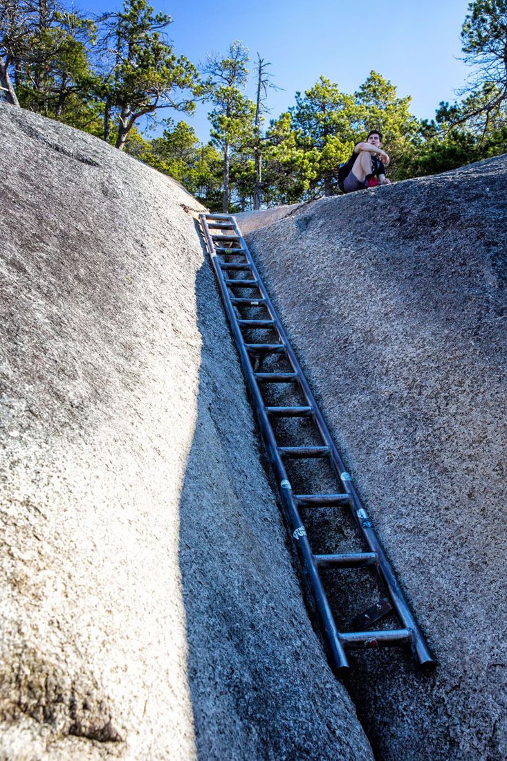
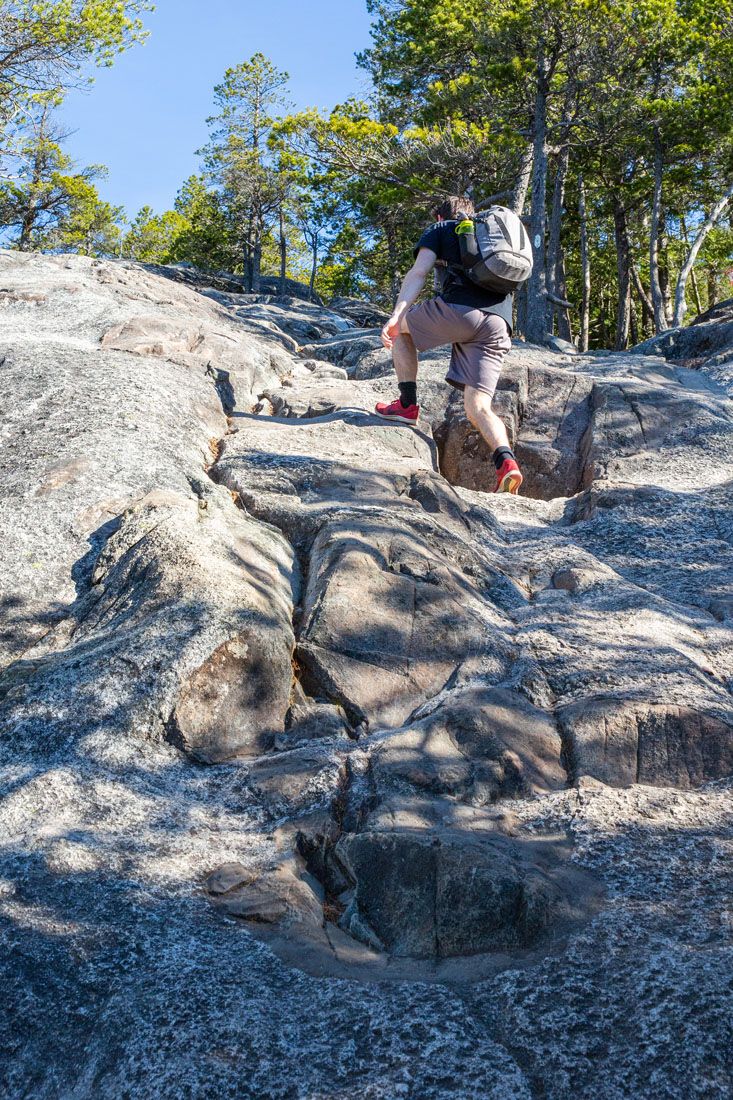
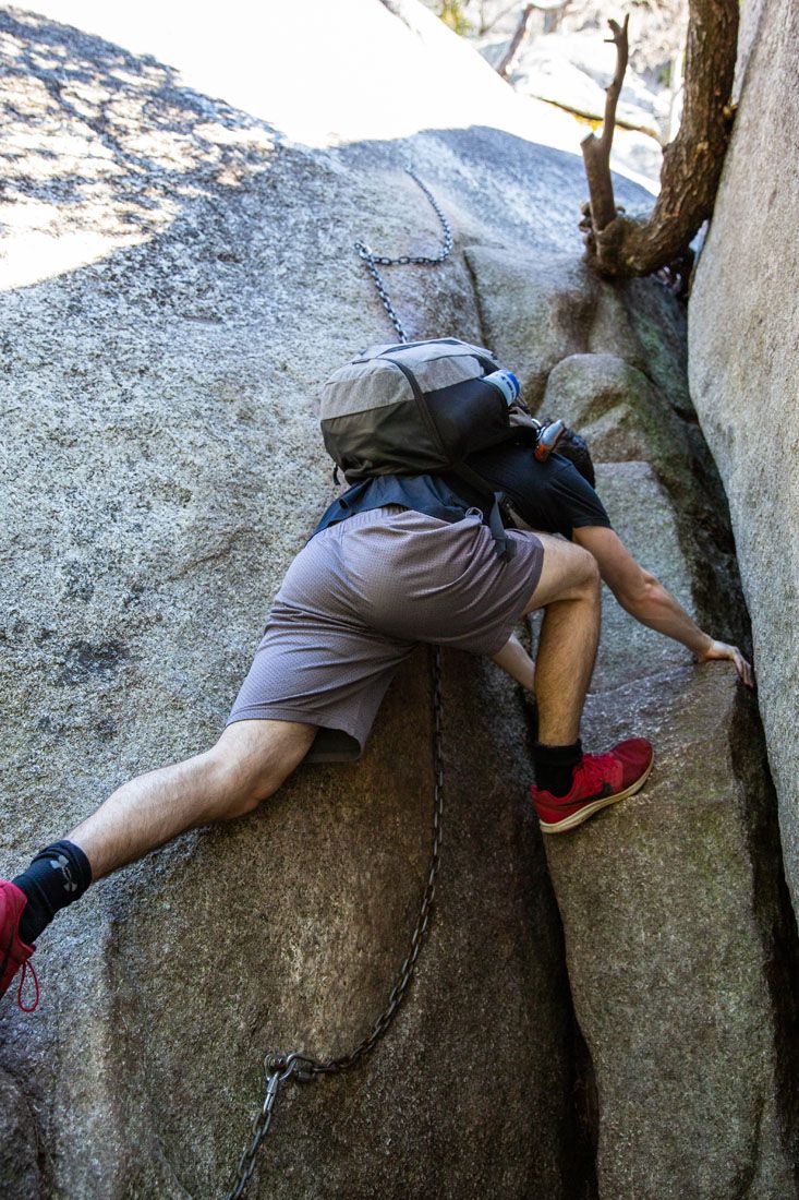
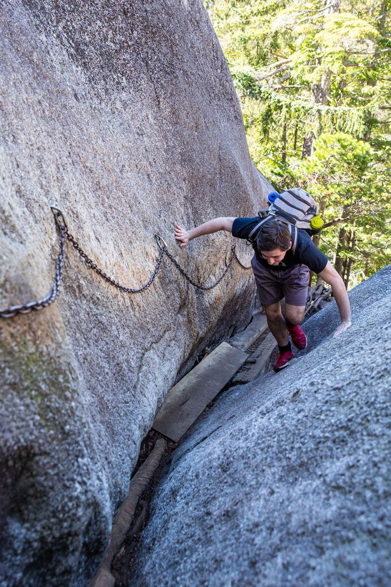
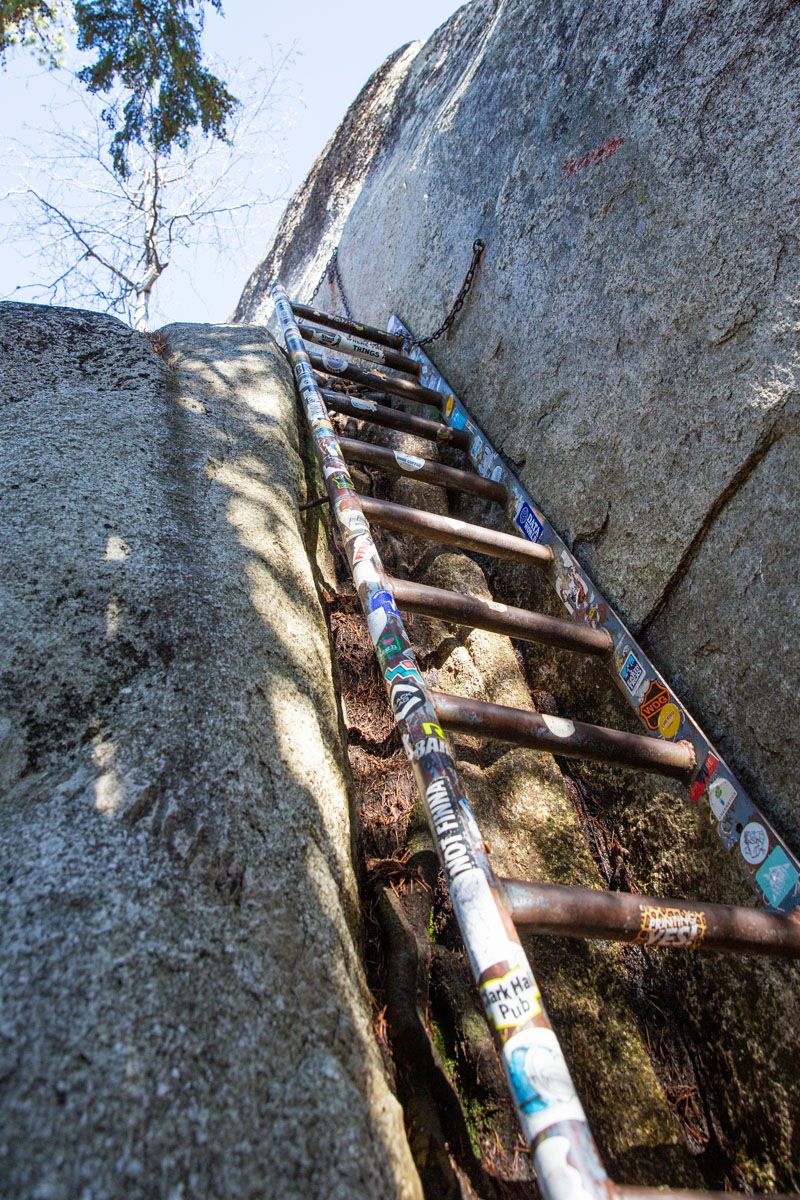
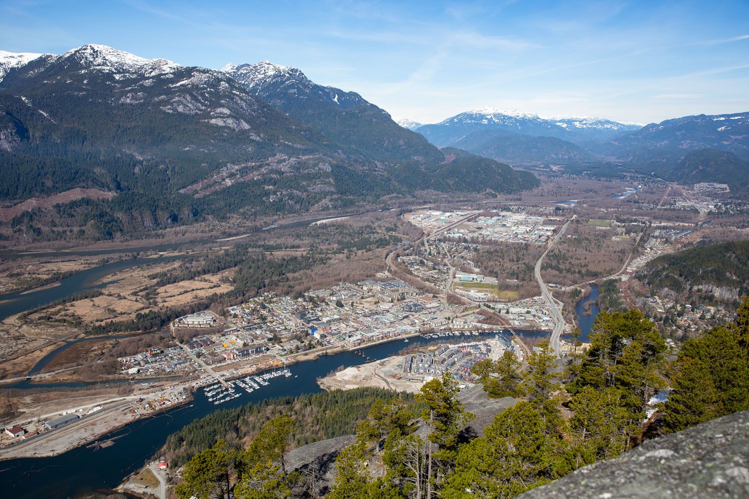
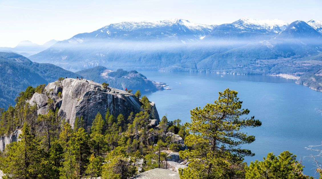
As you near the first peak, the trail will flatten out as you near the top of the treeline. You’ll exit the forest and hike along smooth rock. There are a few rock scrambling sections, with built-in chains and ladders to assist you. Continue straight up to the first peak summit and enjoy the well-earned views out over Squamish and Howe Sound. You can also clearly see both the second and third peaks from here!
Second and Third Peaks
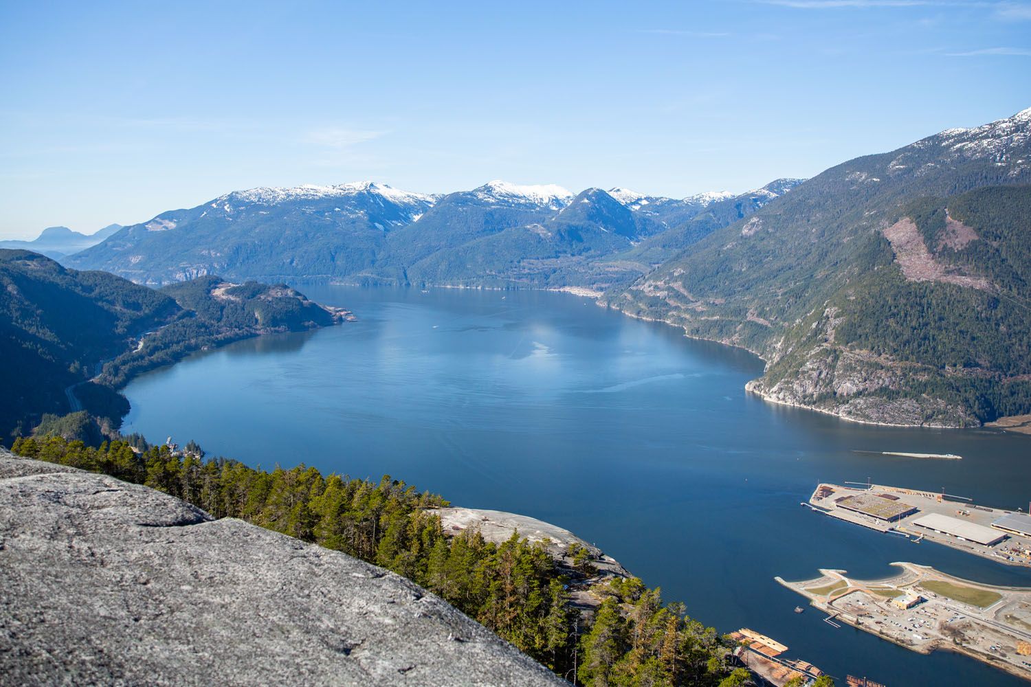
Howe Sound
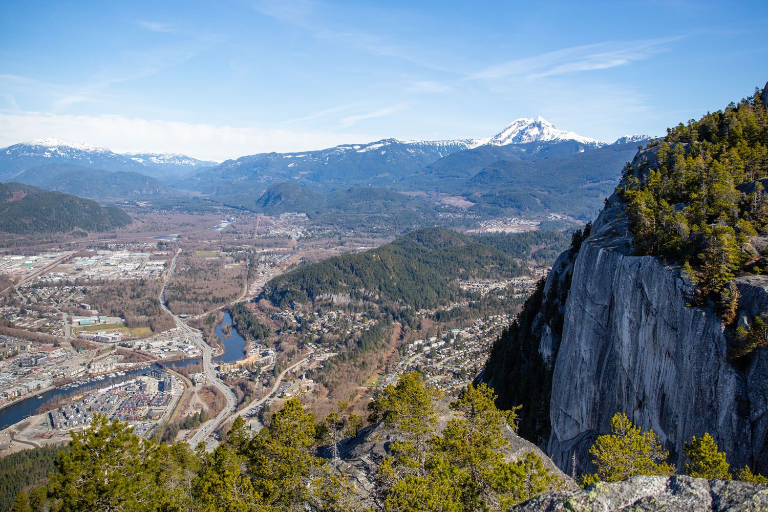
Squamish
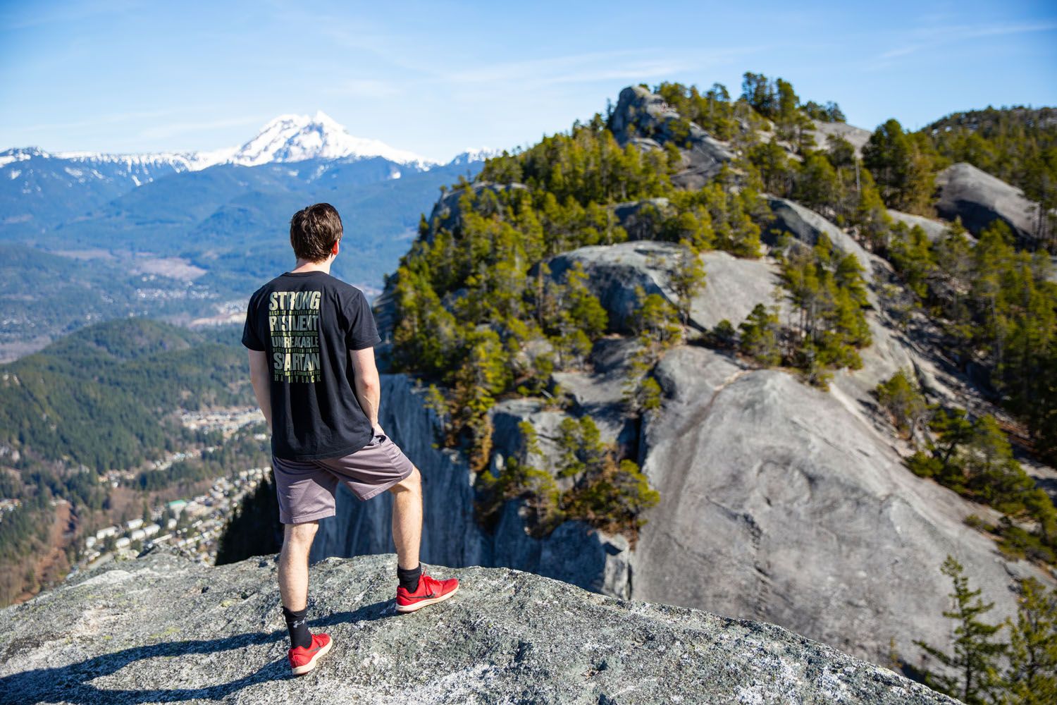
Stawamus Chief Second Peak
Unfortunately, the only way over to the second peak is to hike back the way you came.
Return to the trail-split in the forest below, and continue to the left, following the white diamond trail markers (the right trail goes back down to the car park).
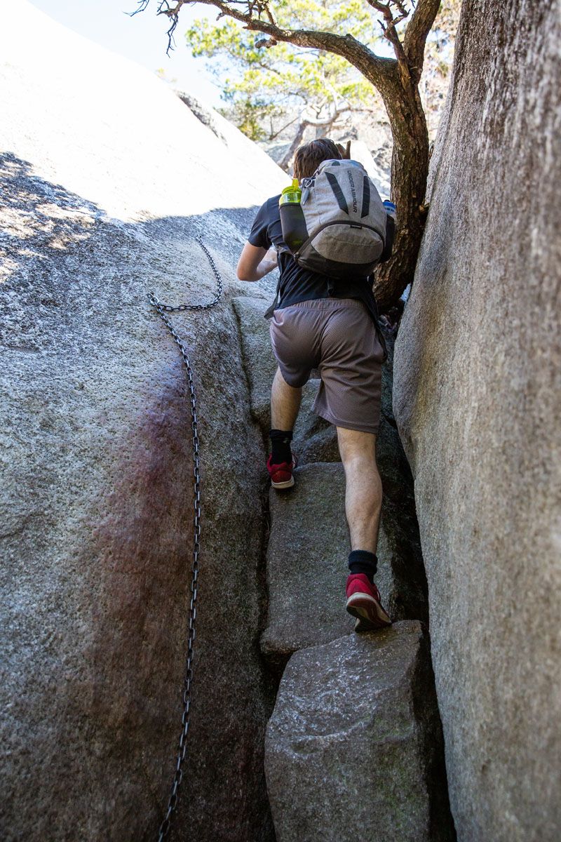
We hope you enjoyed your brief descent, because now your next big climb begins! Continue onwards and upwards as you hike through a wide, rocky ravine. Steep rock faces surround you on either side as you zig-zag up through the forest. You’ll find a lot less people on this trail compared to the one for the first peak, and we really enjoyed the peace provided.
Nearing the second summit, you’ll hit another technical section within a narrow crevice involving a bit of climbing/scrambling. There are chains to assist you, similar to the first peak. Shortly beyond that you’ll reach the summit.
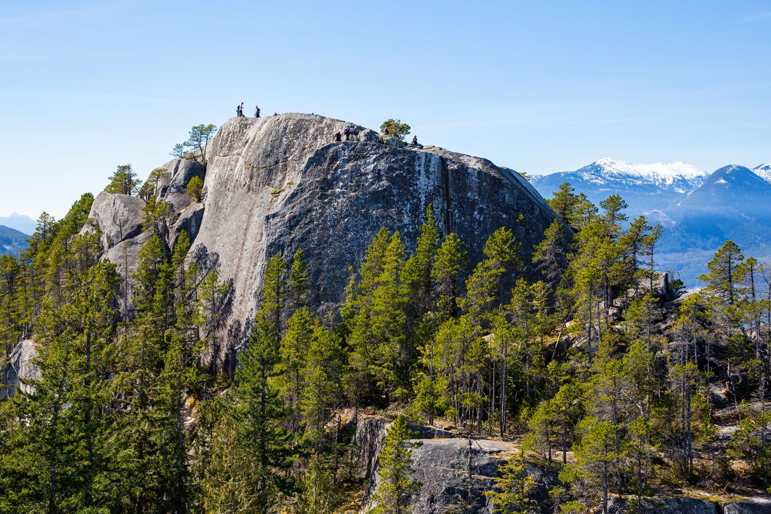
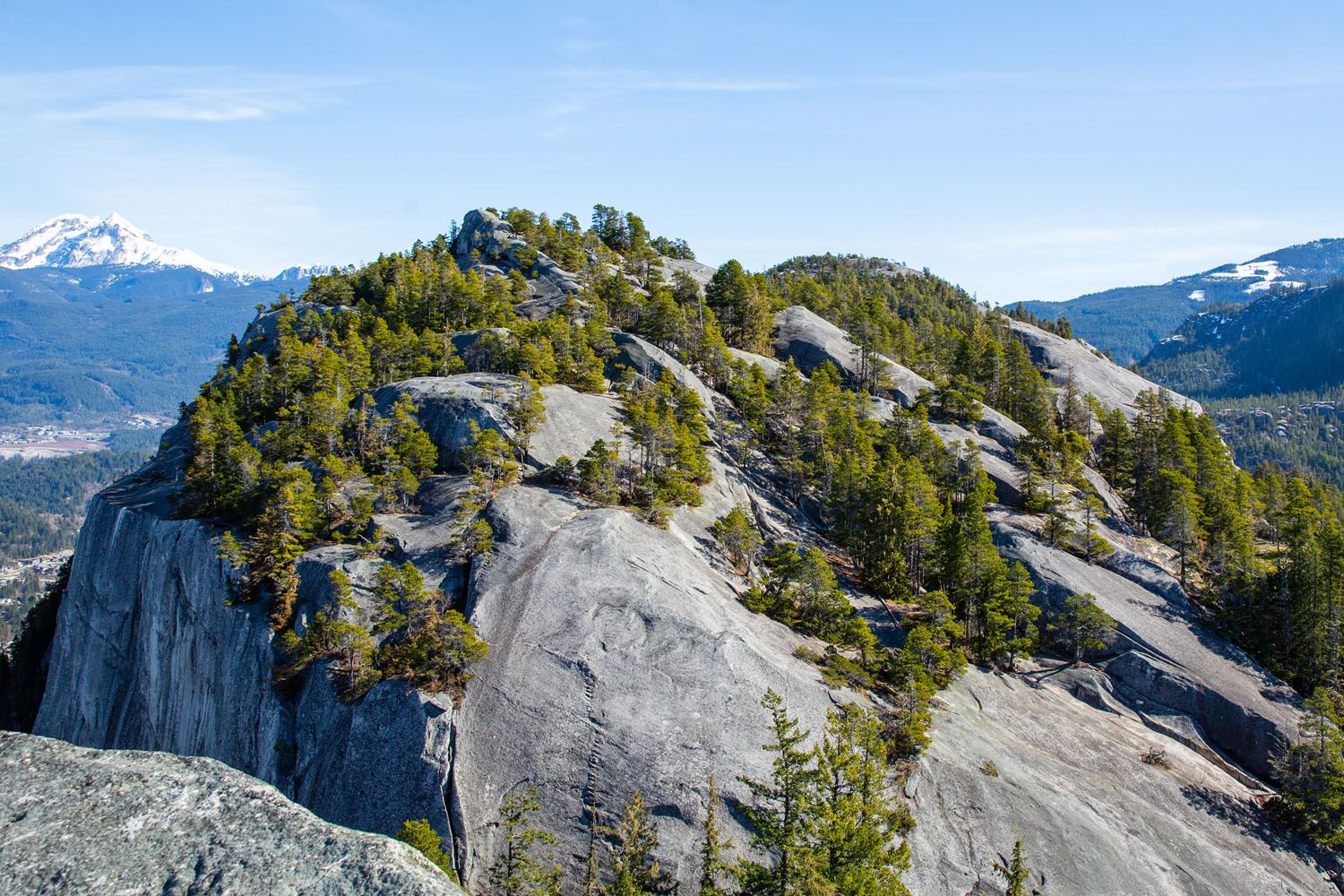
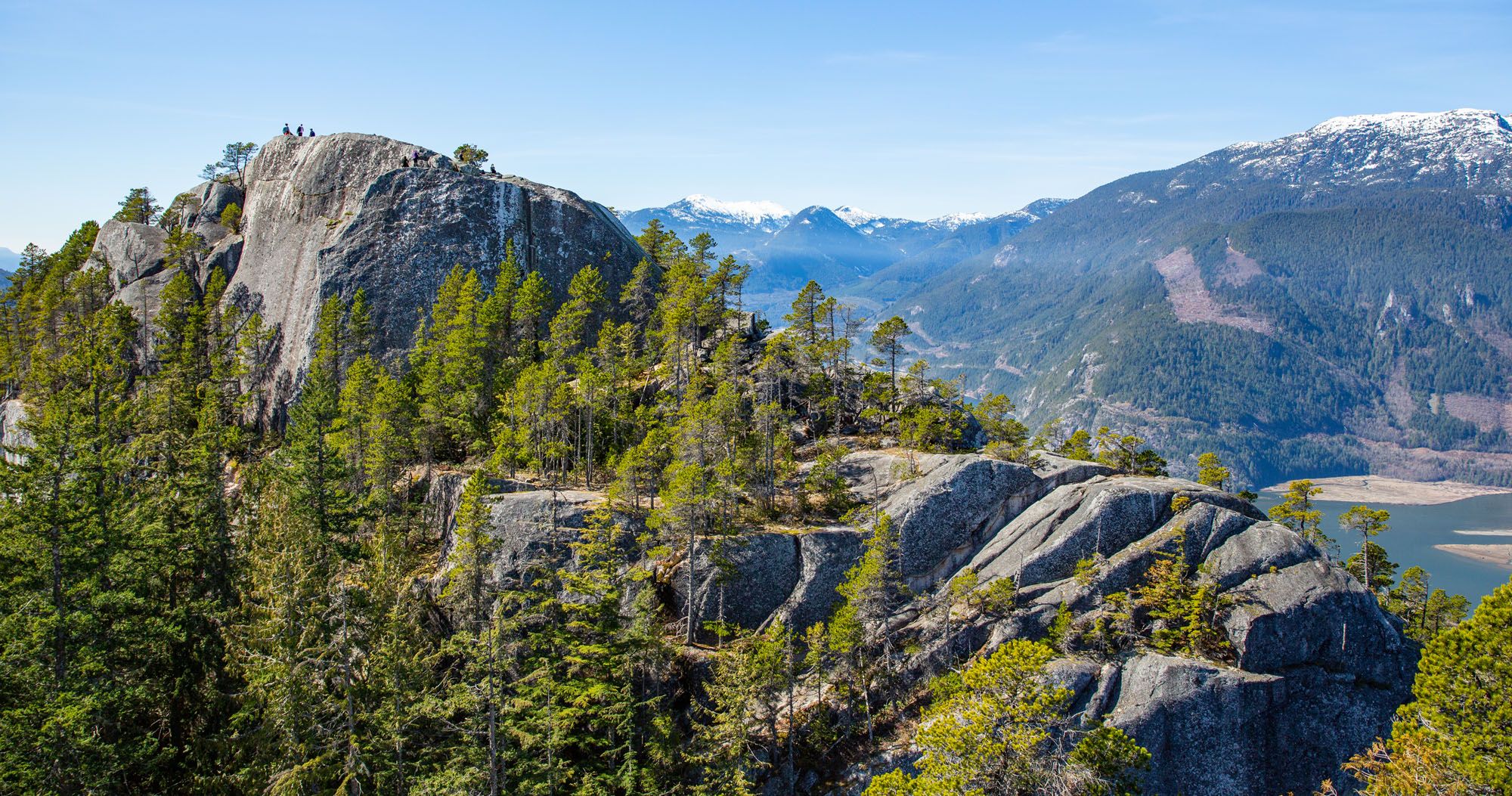
Before reaching the summit of the second peak, if you look back you get a nice view of the first peak.
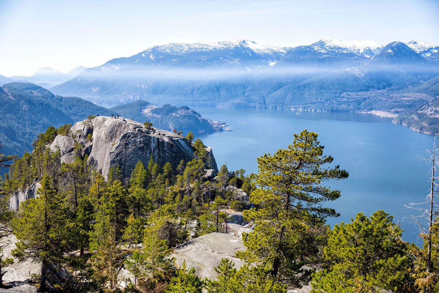
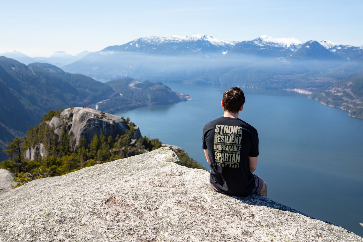
We found the views from the top of the second peak were the best out of the entire hike. From up here, you can clearly see Howe Sound and Squamish below, with a great view of the Chief’s first peak.
Stawamus Chief Third Peak
Continuing north from the second peak, the trail leads directly to the third peak, about 0.8 km (a half mile) away. Follow the gold diamond trail markers.
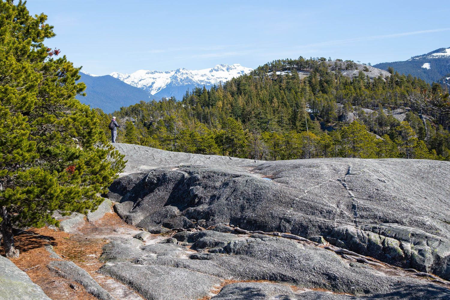
Even in mid-March, we began to see patches of snow covering the trail up here. As you hike back down under the treeline, be careful on the slick roots and rock. This trail isn’t as well maintained as the ones up to the earlier peaks.
Shortly after making it back under the treeline, you’ll come across your final trail split. Continue forwards for the third peak or turn right to return to the car park along a VERY steep trail (more on that later).
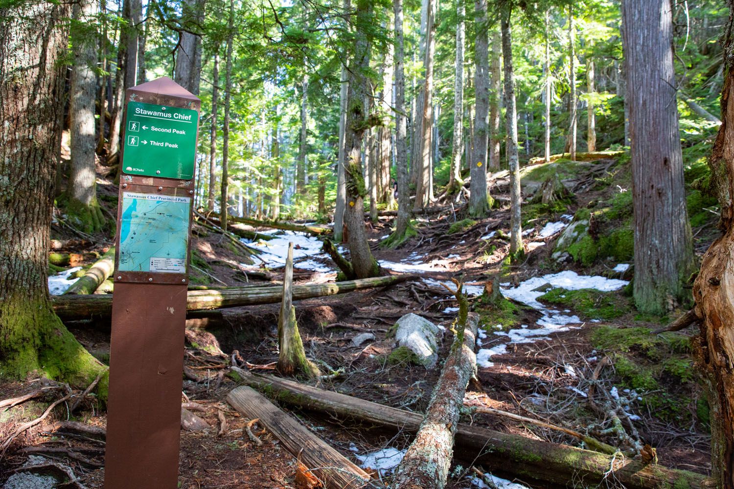
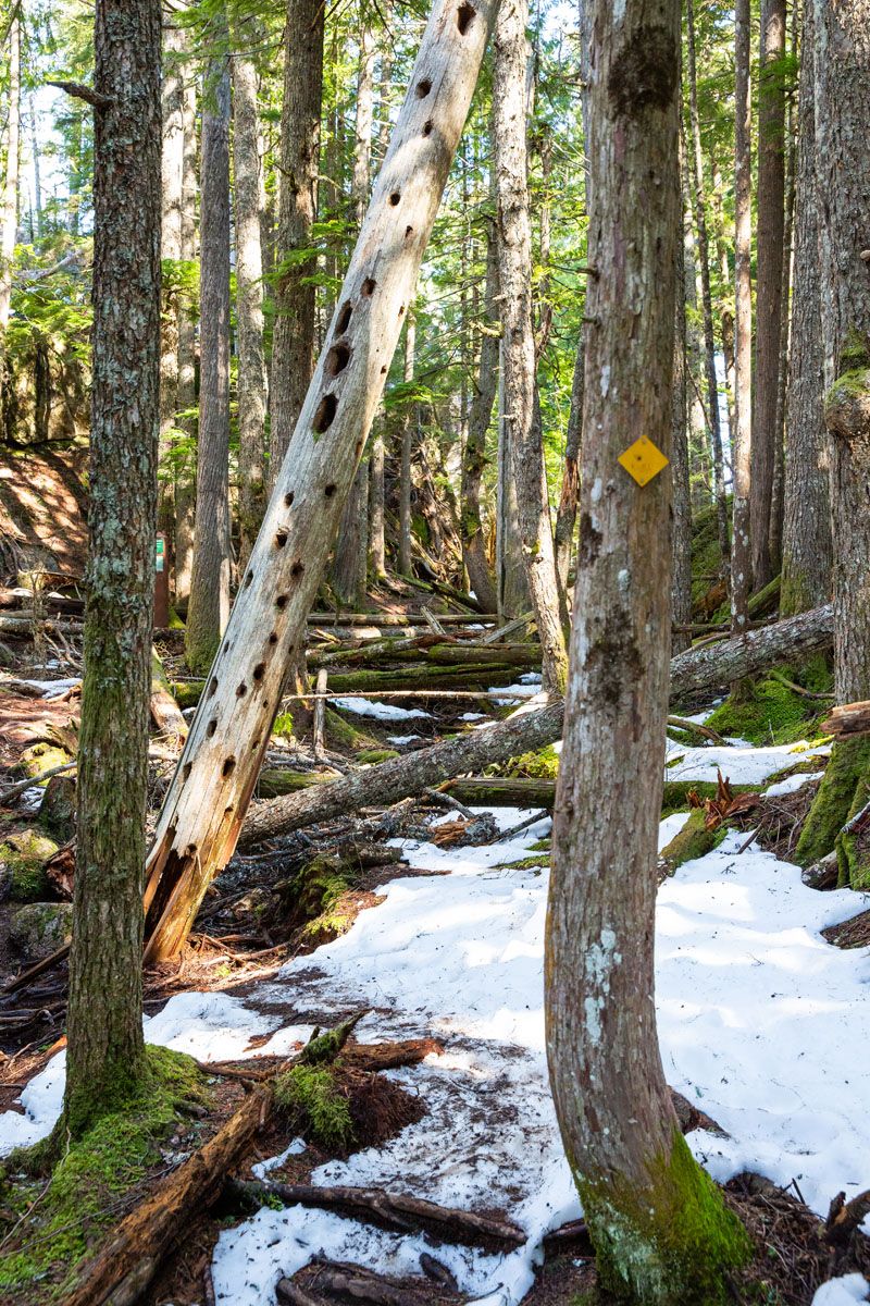
Up to the third peak, the trail is mostly flat along the forest floor, which can get wet and muddy depending on the weather the past few days. You’ll also pass over plenty of fallen trees, but the trail is always new and exciting.
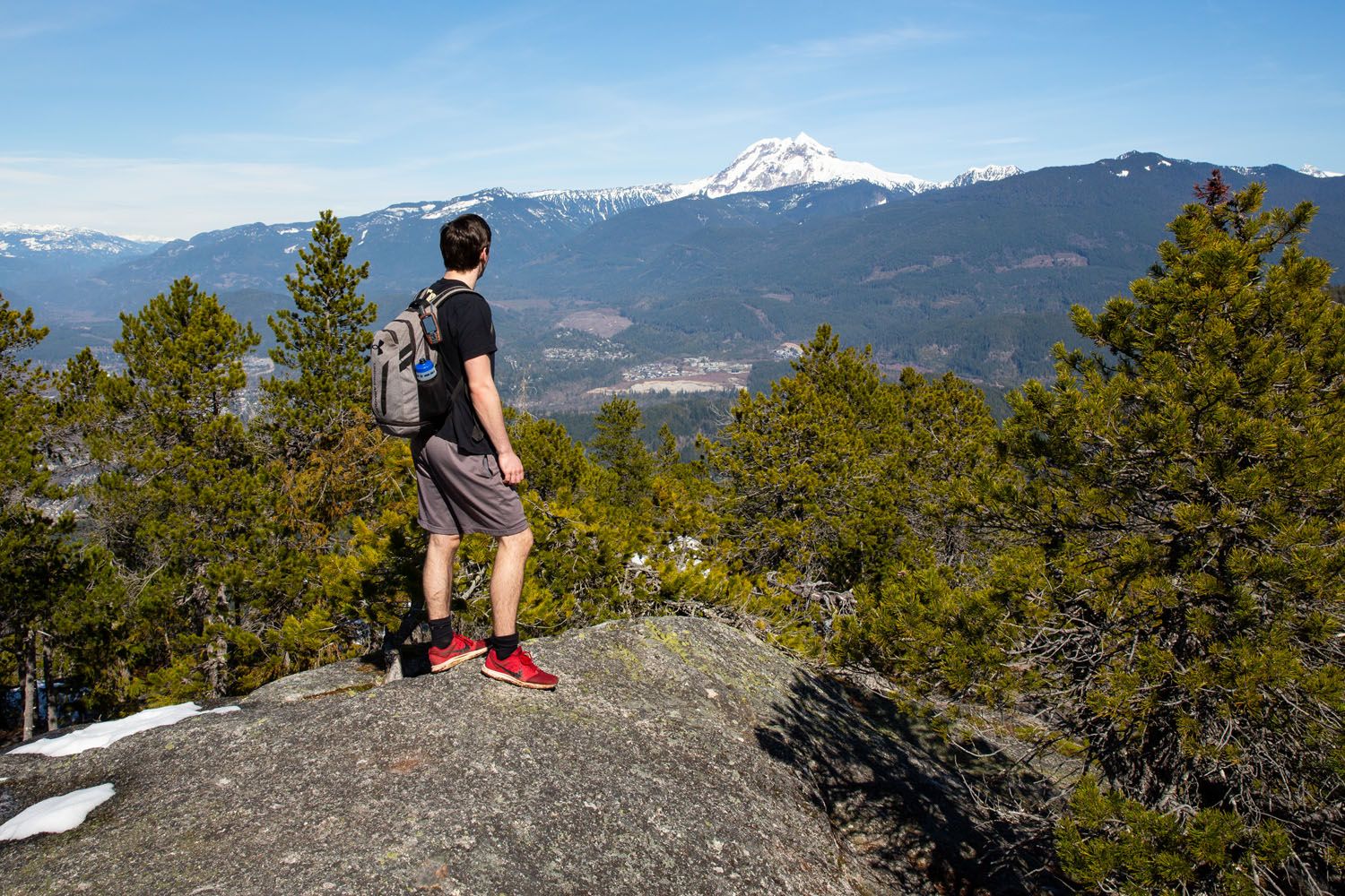
There will be one tiny climb before reaching the third and final peak. We agreed the views from the third weren’t as spectacular as the other two, mainly since you don’t get the breathtaking views out over Howe Sound.
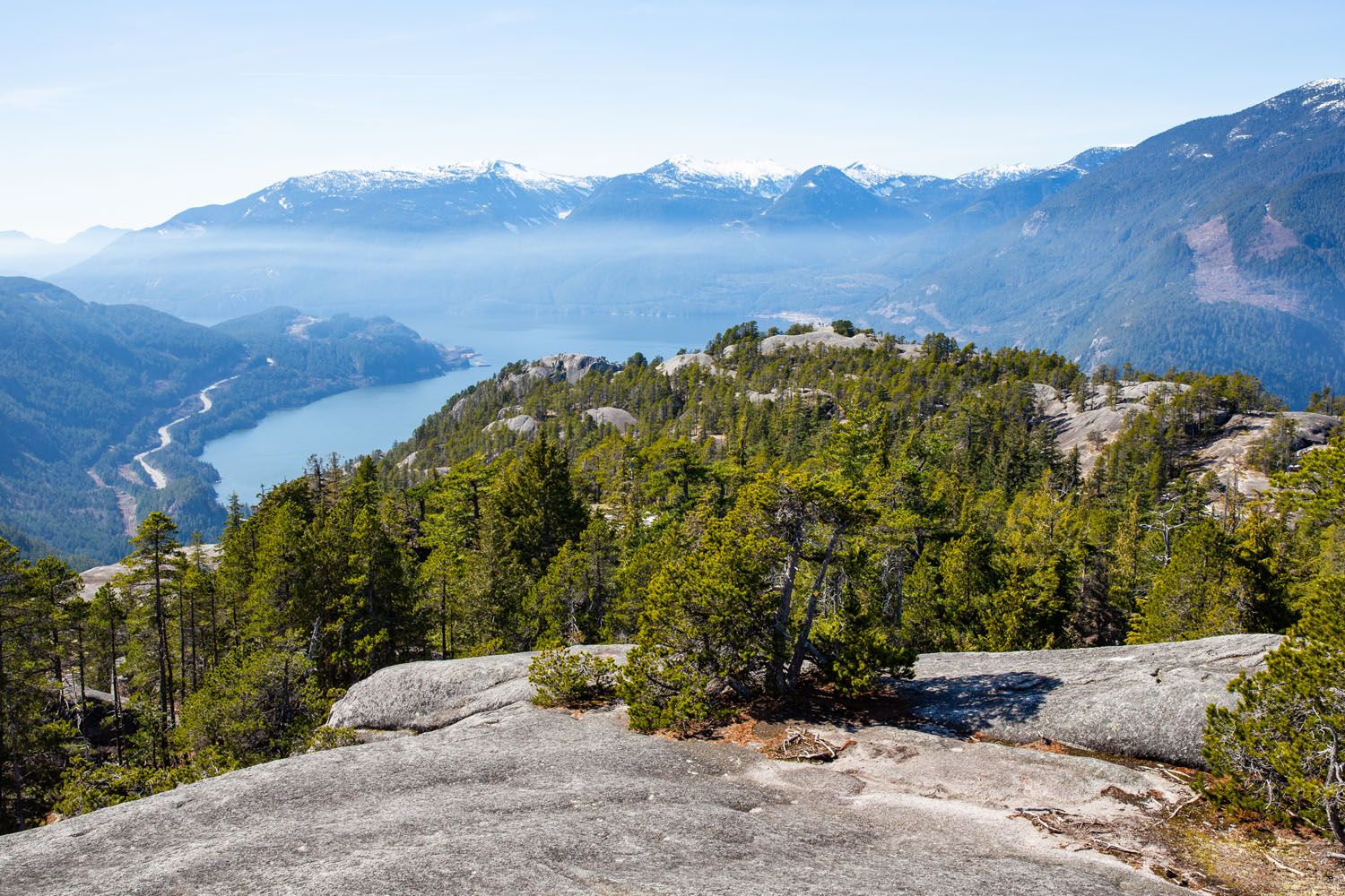
Completing the Hike
From here you have two options to return to your car. Both are similar distances, but vastly different in difficulty. Either return the way you came (hike back to the second peak, then down to the parking area), or take a connecting trail that leads through a very steep ravine, straight back to the carpark. You can read more about our route recommendations down below.
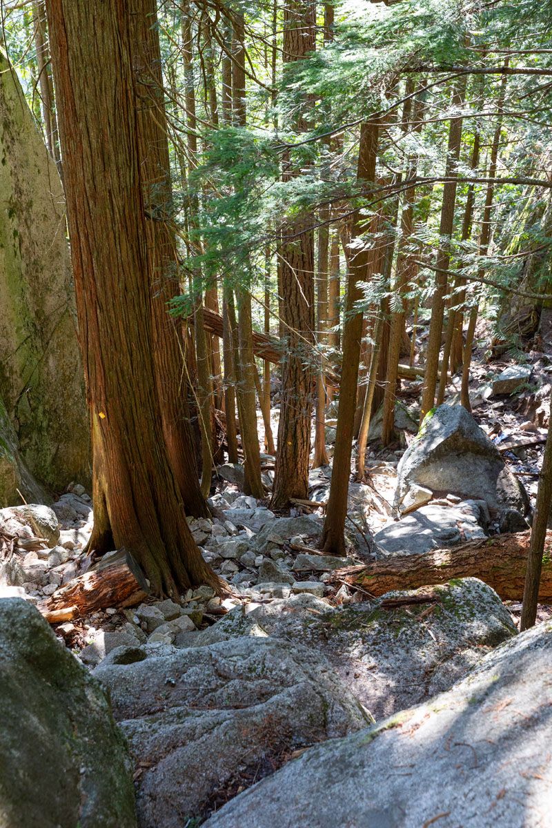
We took the steep path through the ravine, which was definitely an adventure.
For starters, good hiking shoes are a MUST here! The trail is very slippery at times with loose rock, slick roots, and a very steep gradient.
You’ll end up doing a lot of rock scrambling, which can be very tricky and slow moving as you try to pick your next step.
This route can also be quite hard on your legs. After what felt like a never-ending amount of time, the trail will reconnect with the main trail just a short bit above the car park.
Stawamus Chief Trail Route Recommendations
Quick Hike, Best Views
If you’re in a time crunch and want the best possible views, skip the first peak and go straight to the second. We found the views from the second peak to be the best on the entire hike. You’re getting the same views as the first peak, but from higher up and with the added benefit of looking down at the first peak itself.
To hike this route, continue from the carpark as normal, until reaching the split for the first and second peaks. Take the trail to the right, hike up to the second peak, and return the way you came.
Distance: 4.25 km (2.64 miles)
Total Ascent: 620 meters (2,037 feet)
Total Time: 2 hours 10 minutes
Peaks 1, 2 & 3
Visit all 3 peaks in order, as written about in this article. When returning from the third peak, skip the steep descent and instead return the way you came (hiking back to the second peak, then down). This will add a bit of extra elevation gain, but it will be easier on your legs and you will be given the chance to enjoy the views back over Howe Sound on your descent.
Distance: 6.9 km (4.3 miles)
Total Ascent: 960 meters (3,155 feet)
Total Time: 4 hours 30 minutes
Our Favorite Route
If we were to do the hike again, we would skip the third peak entirely, opting to instead hike the first and second peaks. These two have the best views, and with the extra time that comes from skipping the third peak, you have more options with how to spend the rest of your day.
Distance: 5.25 km (3.28 miles)
Total Ascent: 800 meters (2,617 feet)
Total Time: 3 hours 30 minutes
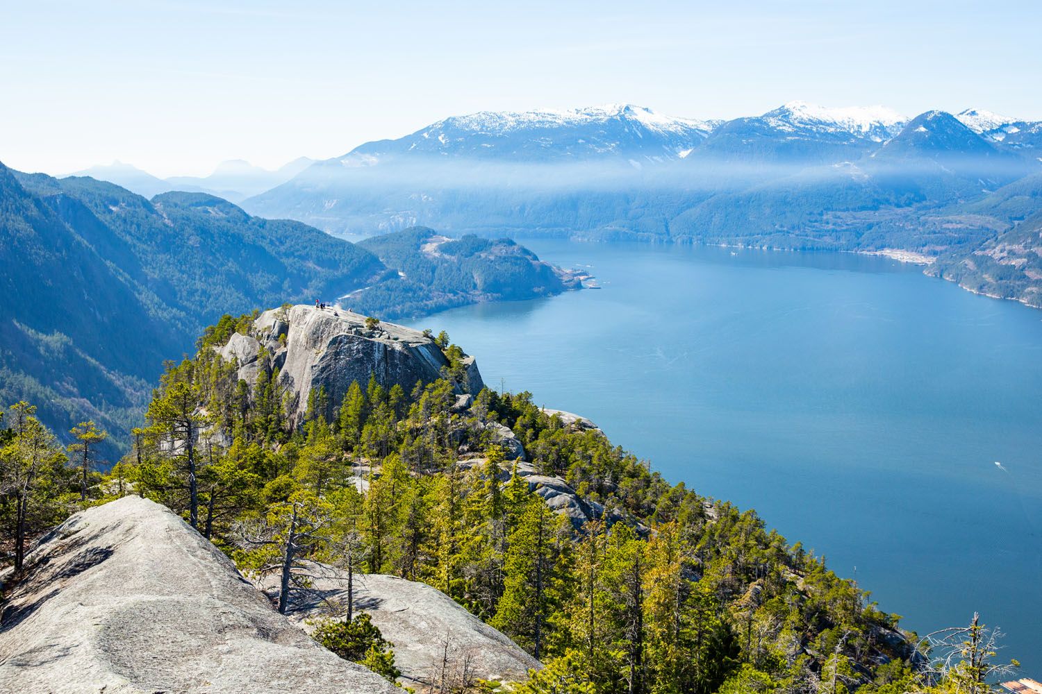
The view from the second peak
Things to Do After the Stawamus Chief Hike
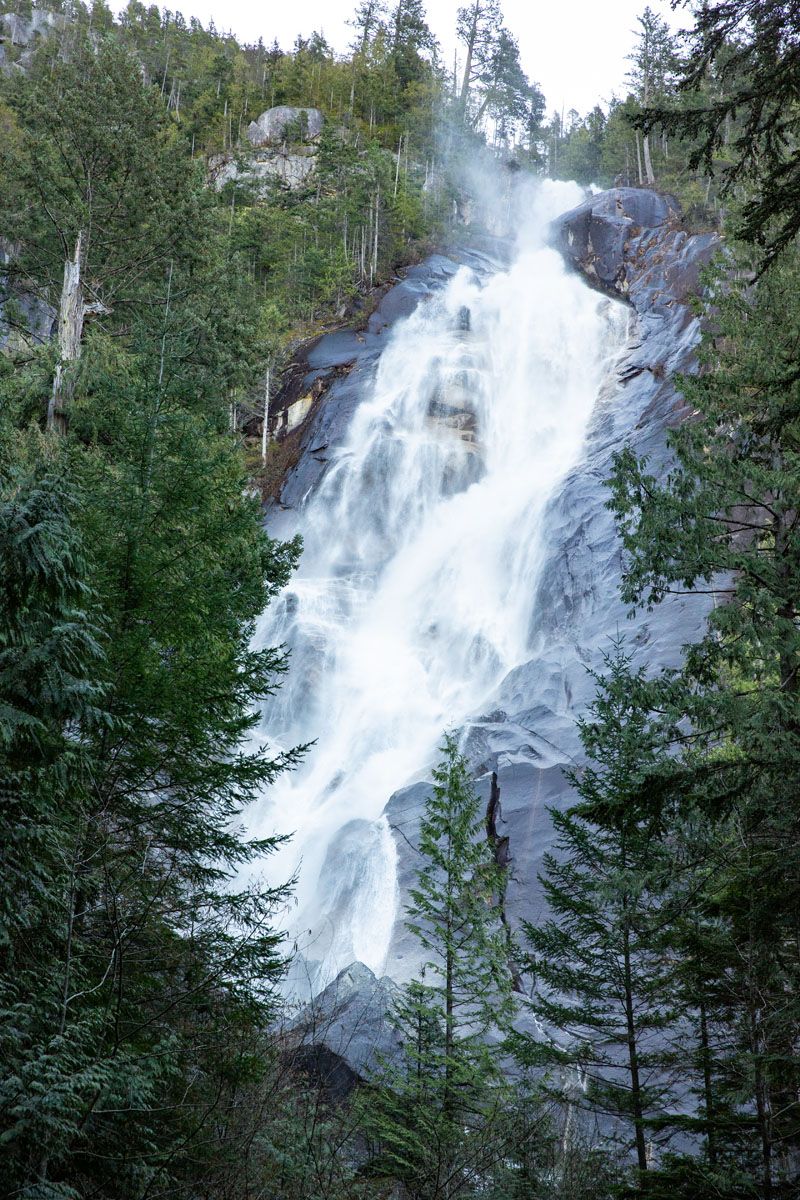
After finishing your hike, why not visit one of the tallest waterfalls in British Columbia? Shannon Falls is a must-see in Squamish and is perfect for a quick visit. The views are incredible, and it’s less than a 5-minute drive south from Stawamus Chief.
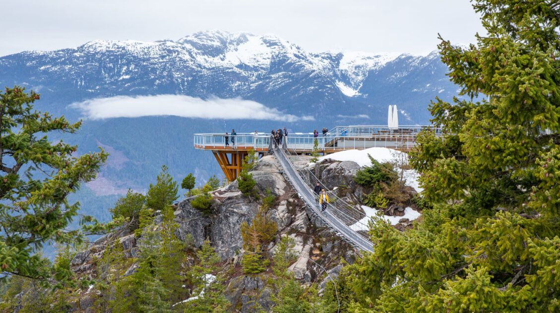
Next door to Shannon Falls is the Sea to Sky Gondola. Take the lift up to the Summit Lodge, enjoy the views out over Howe Sound and Stawamus Chief, and hike one of the short trails at the top. You can learn more in our Guide to the Sea to Sky Gondola (coming soon).
In Squamish, visit the Smoke Bluffs Park for easy hiking trails, mountain biking, and plenty of rock climbing. The park contains hundreds of climbing routes, making it a top spot to visit for any and all climbers.
For those looking to grab a bite after a long hike, we recommend driving into Squamish and enjoying a meal at either The Copper Coil Still & Grill, or Howe Sound Inn & Brewing. We ate at both of these spots after long days of hiking and enjoying a meal here while looking out at the Chief was one of our favorite things on our trip to Squamish. For quick bites, consider visiting Steve’s Poke Bar or Saha Eatery.

How to Get to the Stawamus Chief Hike
The trailhead is found in Stawamus Chief Provincial Park, which is located directly alongside the Sea-to-Sky Highway, less than a 10-minute drive south of Squamish.
Expect a 45-minute drive if arriving from downtown Vancouver. You’ll follow the Sea-to-Sky highway the bulk of the way, which offers incredible views of the Howe Sound, several large islands, and numerous towering peaks. While traveling we made the drive into Squamish twice, and both times were simply blown away by how scenic this drive is.
Frequently Asked Questions
Can children complete this hike?
Yes, as long as they have prior hiking experience or are comfortable with steep climbs. We saw people of all ages on the trail, including children as young as 6 years old at one of the peaks. This is a challenging hike physically, so make sure they’re prepared for the climbs. Note that smaller children may need a bit of assistance on the more technical sections near the top.
Can I hike The Chief year round?
The best time of year to hike The Chief is from mid-March to November. The trail is open year round but do expect snow near the top of the peaks if you hike in the winter months. If hiking in the winter, make sure you have good hiking shoes with solid grip, and consider bringing along poles and/or Yaktrax. The trail can get extra slick with the snow and ice, especially near the top of the peaks where the trail is smooth rock.
What is the best time of day to complete this hike?
We found that hiking in the morning was an excellent time to complete this hike. Starting off it can be a bit chilly, but you’ll reach the peaks before the afternoon heat kicks in. Plus, the midday sun makes for some impressive photos out over Howe Sound.
Which peak has the best views?
In our opinion, the second peak is the best option for views. You’ll stand a bit higher than you do at the first peak, so you get the added benefit of looking down on that peak. Not to mention the fact that, since you’re higher up, you get a wider range of views out over Howe Sound, Squamish, and the surrounding mountain range.
If you have any questions about how to do the Stawamus Chief Hike, or if you want to share your experience, let us know in the comment section below.
More Canada & USA Travel Guides



Leave a Reply